Setta Barrow
Heritage Site in Somerset
England
Setta Barrow
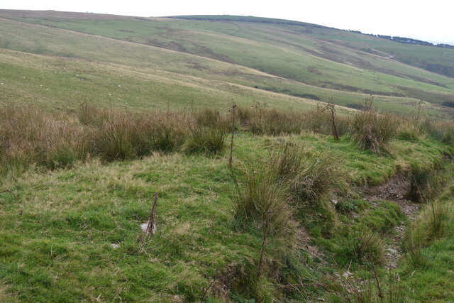
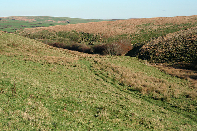
Setta Barrow, located in Somerset, England, is an ancient heritage site that holds significant historical and archaeological importance. The barrow, also known as a burial mound, is situated on a hill overlooking the picturesque village of Setta.
The site dates back to the Bronze Age, with the barrow believed to have been constructed around 2000 BC. It is thought to have been used as a burial ground for important individuals of the time, as evidenced by the numerous artifacts and human remains found within its chambers.
The barrow itself is an impressive structure, measuring approximately 45 meters in diameter and 6 meters in height. It is constructed from earth and stone, with a central burial chamber accessed through a narrow entrance passage. The chamber is circular in shape and contains several stone-lined compartments, possibly used for multiple burials.
Excavations at Setta Barrow have uncovered a wealth of archaeological finds, including pottery, flint tools, and personal ornaments. These artifacts provide valuable insights into the lives and customs of the people who lived and were buried here thousands of years ago.
Today, Setta Barrow is protected as a scheduled ancient monument, ensuring its preservation for future generations. It is a popular destination for visitors interested in history and archaeology, offering a glimpse into Somerset's ancient past. The site provides an opportunity to appreciate the craftsmanship and knowledge of our ancestors, as well as the beauty of the surrounding landscape.
If you have any feedback on the listing, please let us know in the comments section below.
Setta Barrow Images
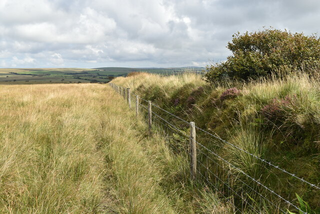
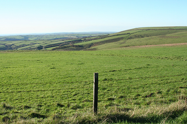
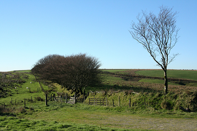
Images are sourced within 2km of 51.13/-3.822 or Grid Reference SS7238. Thanks to Geograph Open Source API. All images are credited.
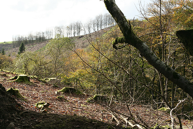
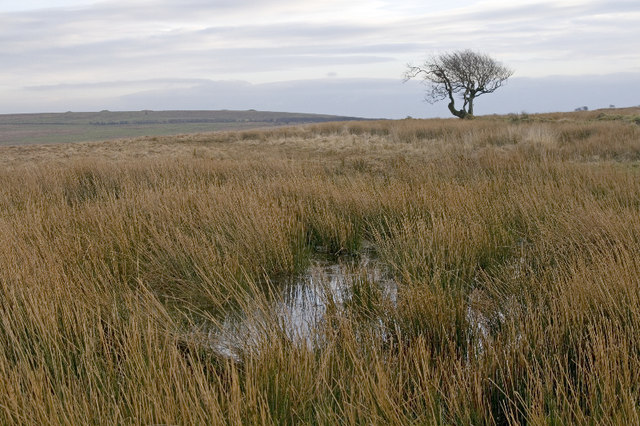
![High Bray: above Sherracombe Ford Looking east-north-east. Sherracombe Ford is Exmoor’s earliest known iron ore smelting site. Mounds of slag remain and radiocarbon dating here suggests Roman activity. [Source: Hazel Riley and Robert Wilson-North. The Field Archaeology of Exmoor. English Heritage, 2001]](https://s1.geograph.org.uk/photos/26/64/266449_231c78b3.jpg)
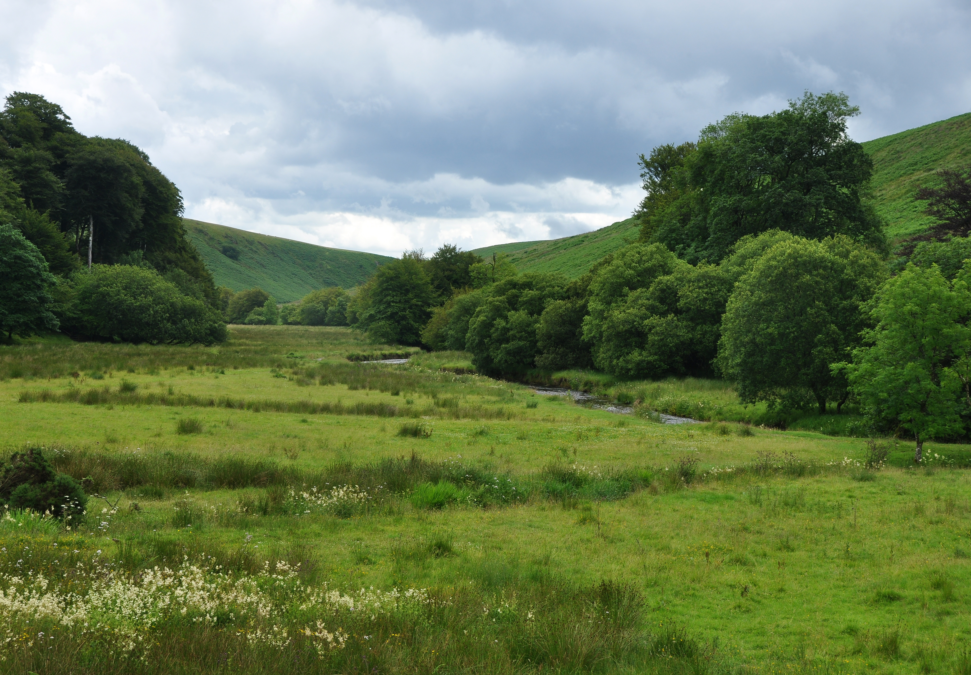
![High Bray: towards Sherracombe Ford Beyond the second gate, on the roughly level area of grass and bracken by the side of the wooded stream is an ironworking site. Smelting was carried out on three identifiable working platforms. Mounds of slag remain and radiocarbon dating here suggests Roman activity. An archaeological investigation was carried out at the beginning of this century. [Part source: Hazel Riley and Robert Wilson-North. The Field Archaeology of Exmoor. English Heritage, 2001]. Looking east](https://s2.geograph.org.uk/photos/26/64/266450_ba213c09.jpg)


Setta Barrow is located at Grid Ref: SS7238 (Lat: 51.13, Lng: -3.822)
What 3 Words
///slate.inner.headings. Near Lynton, Devon
Nearby Locations
Related Wikis

Shoulsbury castle
Shoulsbury Castle is an Iron Age hill fort close to Challacombe in Devon, England. It takes the form of a multi-ditch and rampart enclosure close to the...
Barle Valley
Barle Valley is a 1,540 acres (620 ha) Site of Special Scientific Interest within Exmoor National Park, situated in the counties of Devon and Somerset...
Challacombe
Challacombe is a small village on the edge of the Exmoor National Park, in Devon, England. The village has a small general shop/Post Office and a single...

Bentwitchen
Bentwitchen is a hamlet in Devon, England. == References ==
Nearby Amenities
Located within 500m of 51.13,-3.822Have you been to Setta Barrow?
Leave your review of Setta Barrow below (or comments, questions and feedback).