Senwick Church

Heritage Site in Kirkcudbrightshire

Scotland

Senwick Church

Manor Hole Manor hole, in Ross Bay, is one of the few reasonable sheltered all-tide anchorages on the Solway.
Manor Hole Credit: Simon Brooke

Senwick Church is a historic and picturesque heritage site located in Kirkcudbrightshire, Scotland. Situated in a rural setting near the village of Borgue, the church holds significant architectural and historical importance. Dating back to the 12th century, Senwick Church is believed to have been built on the site of an earlier Celtic church.

The church is constructed in the Romanesque style, characterized by its simple and austere design. The exterior features a rectangular plan with thick walls, small windows, and a pitched roof. The entrance is adorned with a Norman-style doorway, showcasing intricate carvings and stone decorations.

Inside the church, visitors can admire the original medieval features that have been well-preserved over the centuries. The barrel-vaulted ceiling, stone arches, and ornate stone carvings on the walls exude an atmosphere of antiquity and charm. The church also houses a collection of medieval tombstones and ancient Pictish stones, adding to its historical significance.

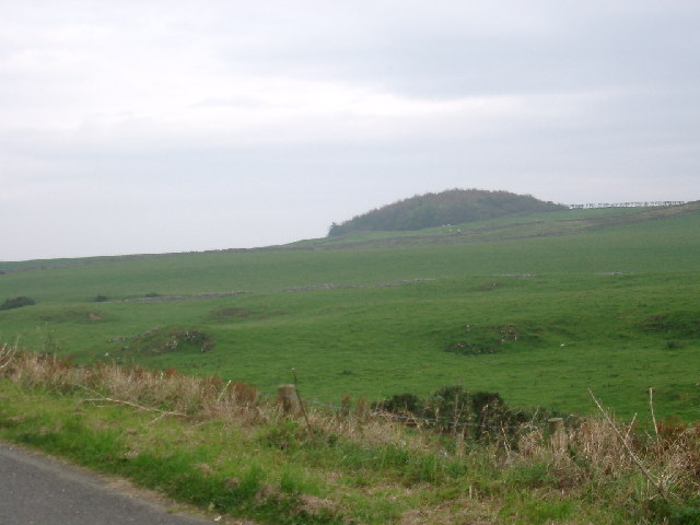
Surrounded by a peaceful churchyard, Senwick Church offers stunning views of the Scottish countryside. The site is known for its tranquil and serene atmosphere, attracting visitors who seek a moment of reflection and contemplation.

Senwick Church is not in regular use for religious services but is occasionally used for special events and ceremonies. It is managed by a local heritage trust, which ensures its preservation and accessibility to the public. As a cherished heritage site, Senwick Church serves as a testament to Scotland's rich history and architectural heritage.

If you have any feedback on the listing, please let us know in the comments section below.

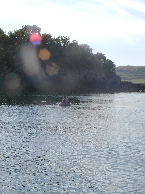
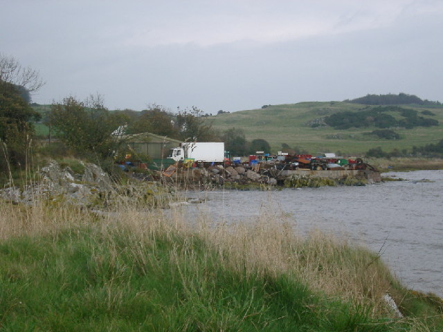
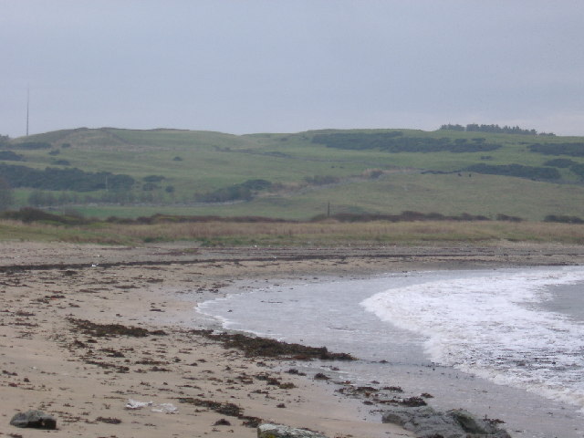
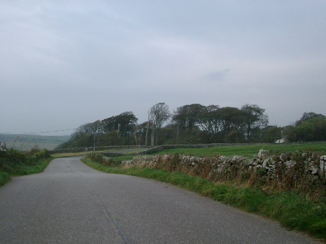
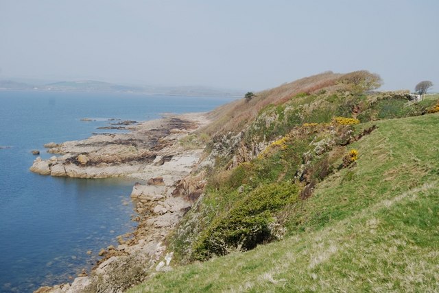
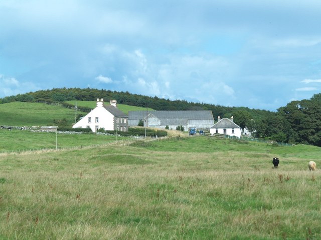
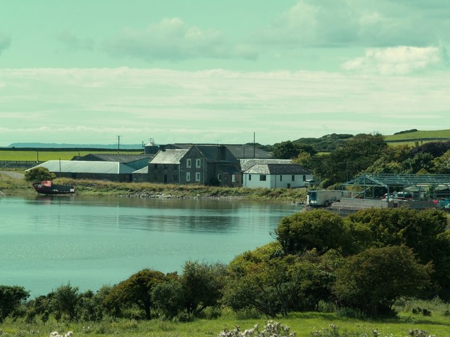
Senwick Church Images

Images are sourced within 2km of 54.795/-4.092 or Grid Reference NX6546. Thanks to Geograph Open Source API. All images are credited.

Manor Hole Manor hole, in Ross Bay, is one of the few reasonable sheltered all-tide anchorages on the Solway.
Manor Hole
Manor hole, in Ross Bay, is one of the few reasonable sheltered all-tide anchorages on the Solway.
Scrapyard, Ross Bay At least, it looks like a scrapyard, but it may just be untidy...
Scrapyard, Ross Bay
At least, it looks like a scrapyard, but it may just be untidy...
Sheephouse Hill from Brighouse Bay
Woods at Senwick House taken fromnear Clash Cottage
Woods at Senwick House
taken fromnear Clash Cottage
Senwick Wood on Knocktall Hill
Kirkcudbright Lifeboat Station Looking SW across the Dee Estuary.
Kirkcudbright Lifeboat Station
Looking SW across the Dee Estuary.
Dirty weather off the Senwick shore Roughly behind where the boat is in the photograph are remains of medieval salt pans, known as 'the Devil's threshing floor'.
Dirty weather off the Senwick shore
Roughly behind where the boat is in the photograph are remains of medieval salt pans, known as 'the Devil's threshing floor'.
Track to Culraven and footpath to The Doon
The B727 two Km east of Borgue village
Upper Senwick Overcast April day at Upper Senwick Farm.
Upper Senwick
Overcast April day at Upper Senwick Farm.
Balmangan Tower Ground floor and vaulted basement of a substantial tower (C15-C16) stands at the south end of Balmangan Farmhouse (C19). Traditionally, the tower was the residence of a branch of the McLellans of Bombie.
Balmangan Tower
Ground floor and vaulted basement of a substantial tower (C15-C16) stands at the south end of Balmangan Farmhouse (C19). Traditionally, the tower was the residence of a branch of the McLellans of Bombie.
Balmangan Bar, Ross Bay Track from Ross Bay to Sheephouse Hill.
Balmangan Bar, Ross Bay
Track from Ross Bay to Sheephouse Hill.
View across windswept wood from near Torrs Point Extensive deciduous wood beside Kirkcudbright Bay sculpted by south-west wind
View across windswept wood from near Torrs Point
Extensive deciduous wood beside Kirkcudbright Bay sculpted by south-west wind
Senwick Wood and Dhoon Bay Taken from the parking area at Nunmill the boat just appeared from the mist by magic!
Senwick Wood and Dhoon Bay
Taken from the parking area at Nunmill the boat just appeared from the mist by magic!
Upper Senwick Farm, Borgue.
Ross Farm, Borgue.
Ross Farm, Borgue.
Senwick Glebe, Borgue Parish.
Kirkcudbright Bay from tiny beach below Balmangan Bar Taken from a small beach shown on 1:25000 between Bar Point and Shaw Hole.
Kirkcudbright Bay from tiny beach below Balmangan Bar
Taken from a small beach shown on 1:25000 between Bar Point and Shaw Hole.
Show me another place!

Senwick Church is located at Grid Ref: NX6546 (Lat: 54.795, Lng: -4.092)

Unitary Authority: Dumfries and Galloway

Police Authority: Dumfries and Galloway

What 3 Words

///badminton.scarf.laughs. Near Kirkcudbright, Dumfries & Galloway

Related Wikis

River Dee, Galloway

The River Dee (Scottish Gaelic: Dè / Uisge Dhè), in south-west Scotland, flows from its source in Loch Dee amongst the Galloway Hills, firstly to Clatteringshaws...
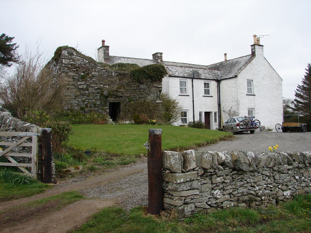
Borgue Old House

Borgue Old House is a ruined Y-plan house, about 300 metres (0.2 mi) east of Borgue in Dumfries and Galloway, Scotland. Built in 1680, but probably incorporating...

Kirkcudbright Bay

Kirkcudbright Bay is an inlet of the Irish Sea on the coast of Galloway in southwest Scotland. Its coastline falls entirely within the modern administrative...

Borgue, Dumfries and Galloway

Borgue (pronounced /ˈbɔrɡ/; Scottish Gaelic: Borgh) is a village and parish in the Stewartry of Kirkcudbright in Dumfries and Galloway, Scotland. It lies...

Nearby Amenities

Located within 500m of 54.795,-4.092
Source: PGS
Lat/Long: 54.7905008/-4.0918723
Source: PGS
Lat/Long: 54.7921445/-4.0916573
Source: PGS
Lat/Long: 54.7937802/-4.0905867
Source: PGS
Lat/Long: 54.7940666/-4.0900672
Source: PGS
Lat/Long: 54.7943713/-4.0899676
Source: PGS
Lat/Long: 54.7950911/-4.0894686
Source: PGS
Lat/Long: 54.7980142/-4.0890986
Source: PGS
Lat/Long: 54.7984423/-4.0891327
Source: PGS
Lat/Long: 54.7991827/-4.0892307
Senwick Church
Historic: ruins
Lat/Long: 54.790914/-4.092328
Seamark Rock Water Level: covers
Seamark Type: rock
Lat/Long: 54.7925248/-4.0863141
Seamark Name: Frenchman's Rock
Seamark Rock Water Level: covers
Seamark Type: rock
Lat/Long: 54.7936312/-4.0859744
Seamark Name: Frenchman's Rock
Seamark Rock Water Level: covers
Seamark Type: rock
Lat/Long: 54.7937683/-4.0859234
Seamark Name: Frenchman's Rock
Seamark Rock Water Level: covers
Seamark Type: rock
Lat/Long: 54.7938858/-4.0855838
Seamark Name: Frenchman's Rock
Seamark Rock Water Level: covers
Seamark Type: rock
Lat/Long: 54.7942775/-4.0849554
Seamark Name: Frenchman's Rock
Seamark Rock Water Level: covers
Seamark Type: rock
Lat/Long: 54.7944146/-4.0853969
The data included in this document is from www.openstreetmap.org. The data is made available under ODbL.

Have you been to Senwick Church?

Leave your review of Senwick Church below (or comments, questions and feedback).