Seaty Hill
Heritage Site in Yorkshire Craven
England
Seaty Hill
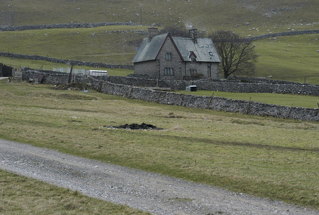
Sitting atop a hill in the picturesque Yorkshire countryside, Seaty Hill is a renowned heritage site that has captivated visitors for centuries. Located near the village of Seaty, this historic site offers a glimpse into the rich cultural and architectural heritage of the region.
Seaty Hill is home to a magnificent medieval castle, which was built in the 12th century by the powerful Seaty family. The castle's imposing stone walls and towering turrets stand as a testament to the grandeur and strength of its original owners. Although it has suffered some damage over the centuries, the castle has been carefully restored and is now open to the public for exploration.
Visitors to Seaty Hill can marvel at the castle's impressive architecture, including its intricate stone carvings and majestic Great Hall. The castle's interior offers a fascinating insight into medieval life, with displays of period furniture, artwork, and weaponry. Guided tours are available, providing visitors with a deeper understanding of the castle's history and significance.
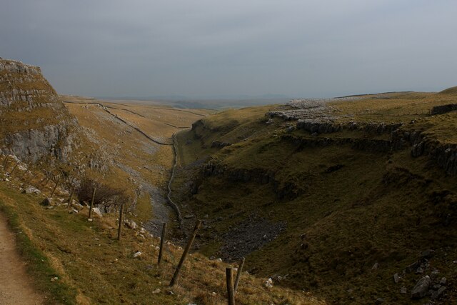
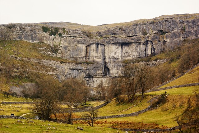
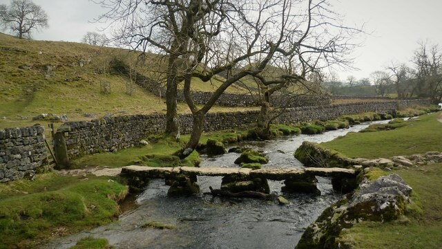
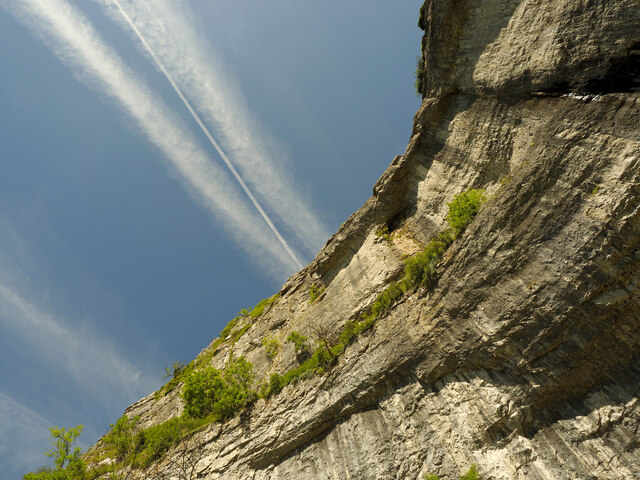
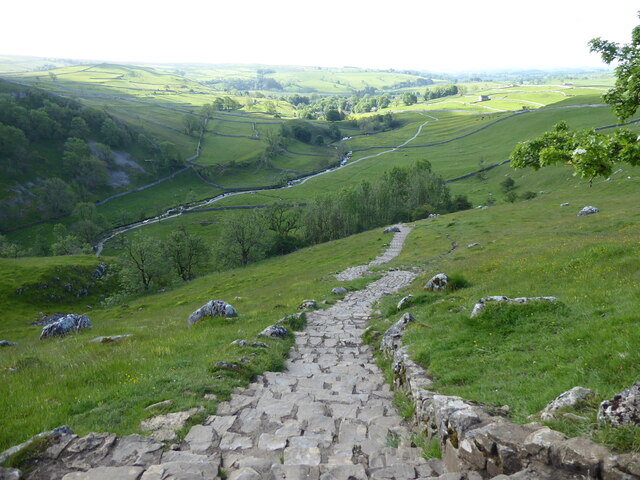
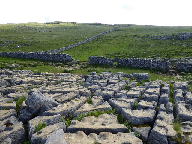
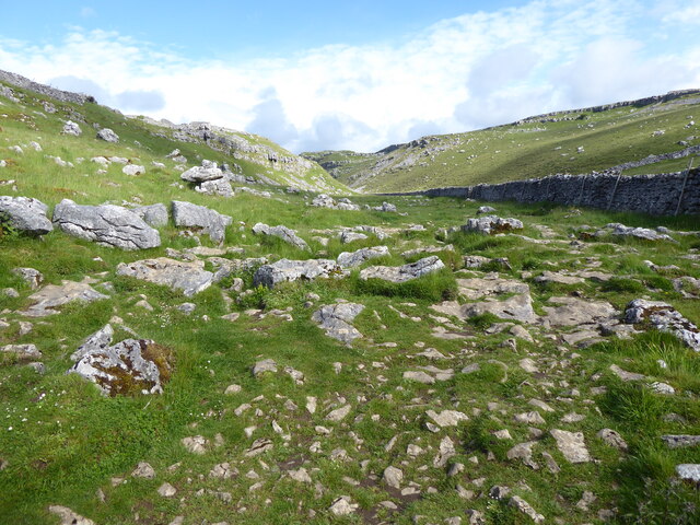
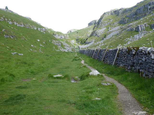
Aside from the castle, Seaty Hill boasts stunning natural surroundings. The hill offers panoramic views of the rolling Yorkshire countryside, making it a popular spot for nature lovers and photographers. The site also features well-maintained gardens, where visitors can relax and enjoy the tranquility of the surroundings.
Seaty Hill is a treasure trove of history and beauty, attracting tourists from all over the world. Its historical significance, architectural splendor, and breathtaking scenery make it a must-visit destination for history enthusiasts and nature lovers alike.
If you have any feedback on the listing, please let us know in the comments section below.
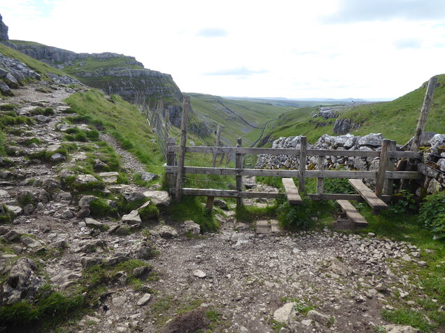
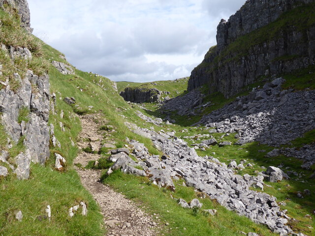
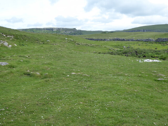
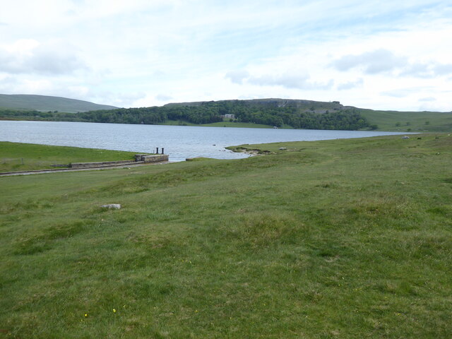
Seaty Hill Images
Images are sourced within 2km of 54.085/-2.144 or Grid Reference SD9065. Thanks to Geograph Open Source API. All images are credited.


Seaty Hill is located at Grid Ref: SD9065 (Lat: 54.085, Lng: -2.144)
Division: West Riding
Administrative County: North Yorkshire
District: Craven
Police Authority: North Yorkshire
What 3 Words
///denoting.drip.performs. Near Settle, North Yorkshire
Nearby Locations
Related Wikis
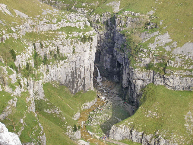
Gordale Scar
Gordale Scar is a limestone ravine 1 mile (1.6 km) north-east of Malham, North Yorkshire, England. It contains two waterfalls and has overhanging limestone...
Malham Tarn Estate
Malham Tarn Estate is a National Trust property in North Yorkshire, England. The estate is located in the Pennines and lies between Wharfedale and Ribblesdale...

Malham Cove
Malham Cove is a large curved limestone formation 0.6 miles (1 km) north of the village of Malham, North Yorkshire, England. It was formed by a waterfall...
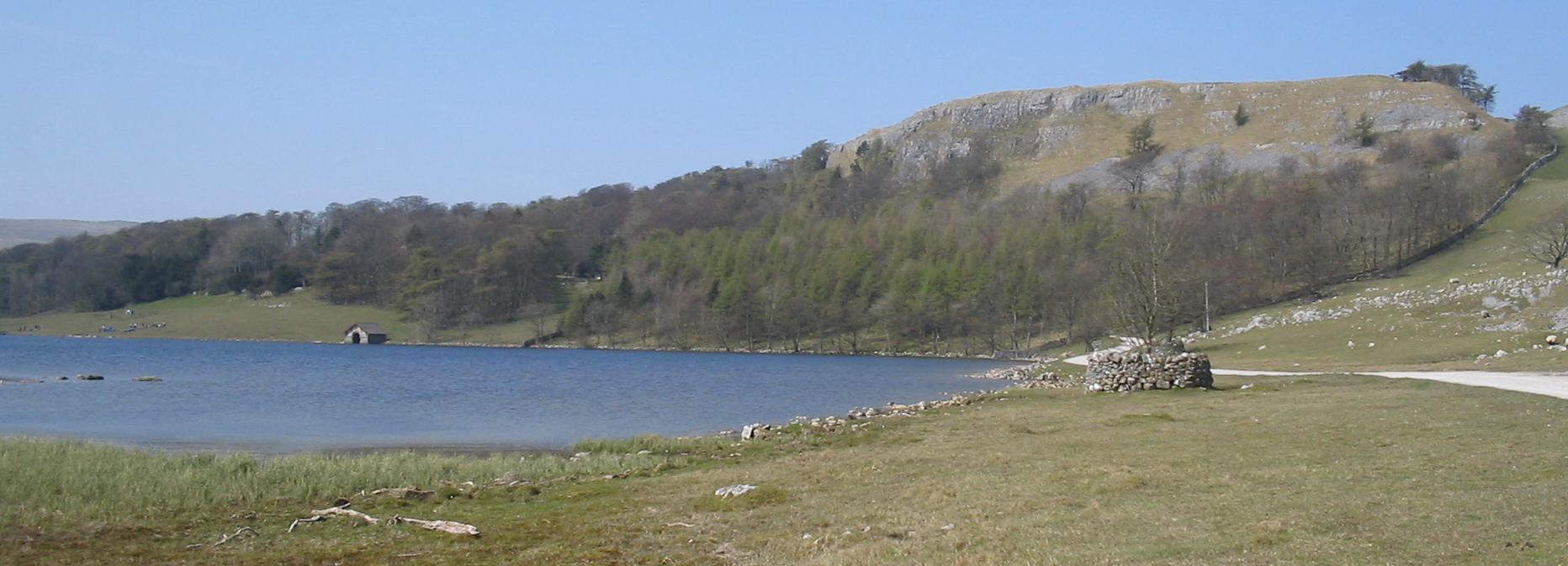
Malham Tarn
Malham Tarn is a glacial lake near the village of Malham in the Yorkshire Dales, England. The lake is one of only eight upland alkaline lakes in Europe...
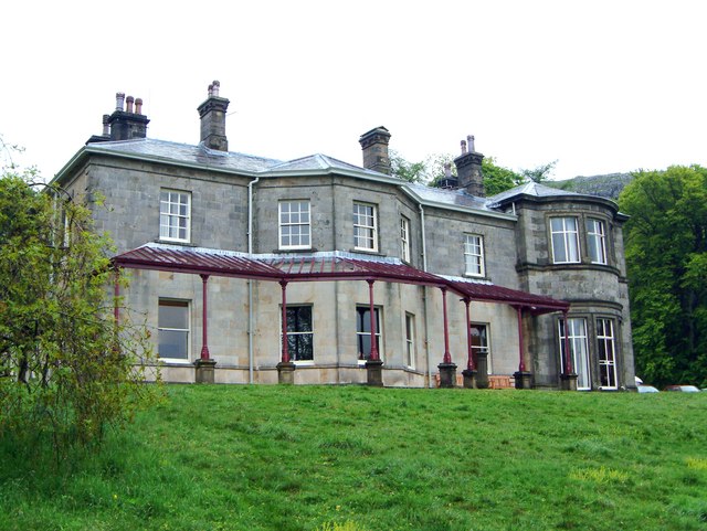
Malham Tarn Field Studies Centre
FSC Malham Tarn, situated near Malham Tarn in the Yorkshire Dales National Park, North Yorkshire, England, occupies a large Georgian country house, leased...

Friar Garth Farmhouse
Friar Garth Farmhouse is a Grade II listed building in Malham, North Yorkshire, England. It was listed as an historic site by English Heritage on 13 September...

Malham
Malham is a village and civil parish in the Craven district of North Yorkshire, England. Before 20th century boundary changes, the village was part of...
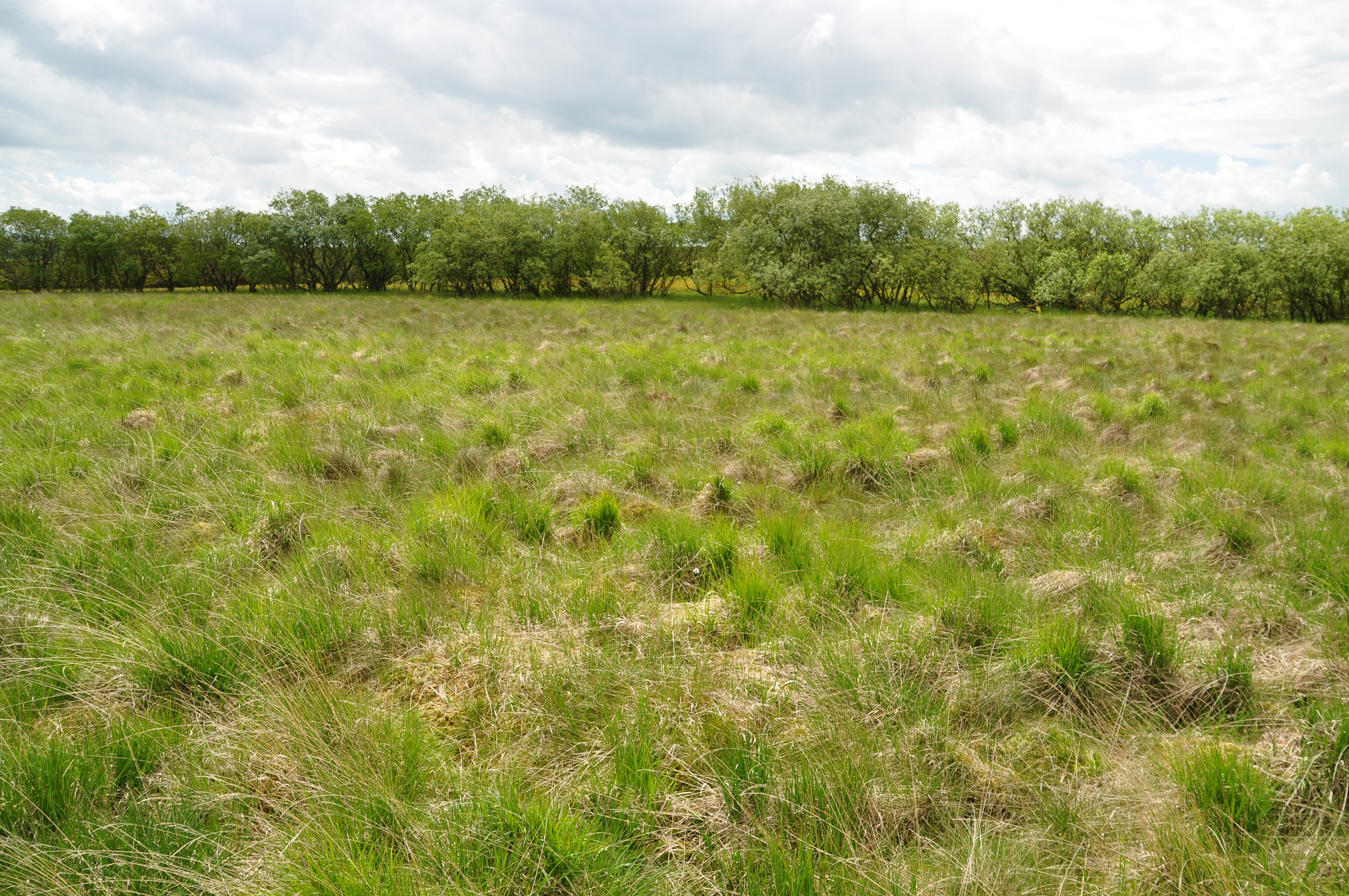
Malham Moor
Malham Moor is a civil parish in the Craven district of North Yorkshire, England. Its population was estimated at 70 in 2015.It has a joint parish council...
Nearby Amenities
Located within 500m of 54.085,-2.144Have you been to Seaty Hill ?
Leave your review of Seaty Hill below (or comments, questions and feedback).