Seaty Hill
Hill, Mountain in Yorkshire Craven
England
Seaty Hill
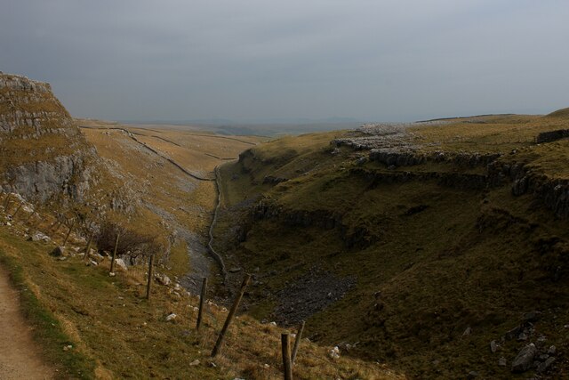
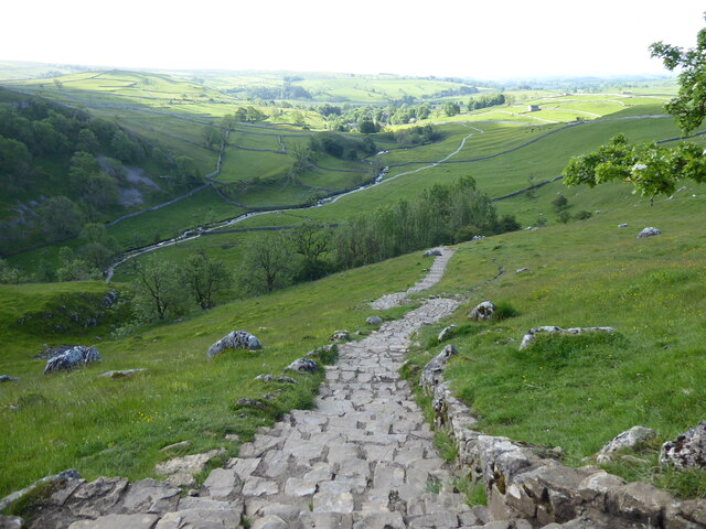
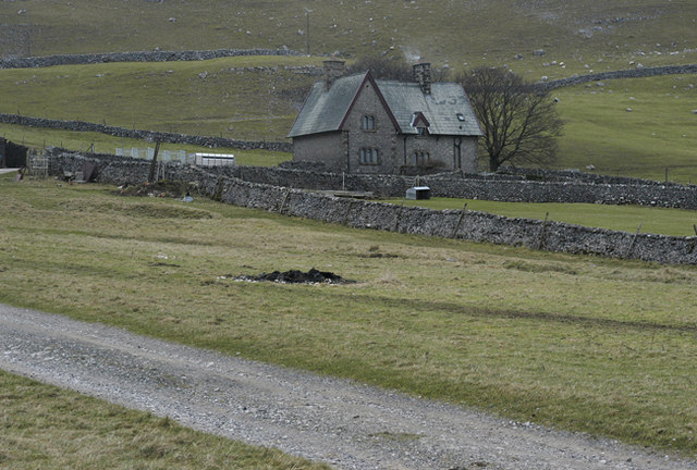
Seaty Hill, located in Yorkshire, England, is a prominent hill that forms part of the beautiful Yorkshire Dales. Standing at an elevation of approximately 1,978 feet (603 meters), it offers breathtaking panoramic views of the surrounding countryside. Situated near the village of Kettlewell, Seaty Hill is a popular destination for hikers, nature enthusiasts, and photographers.
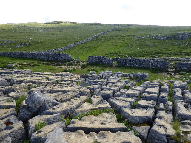
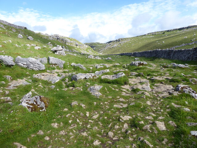
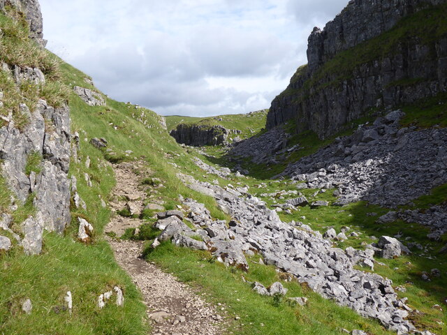
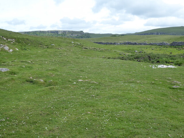
The hill is characterized by its distinctive shape, with a gentle slope leading up to a more rugged and rocky summit. The landscape is adorned with vibrant heather, grassy moorlands, and scattered patches of woodland, adding to the hill's scenic appeal.
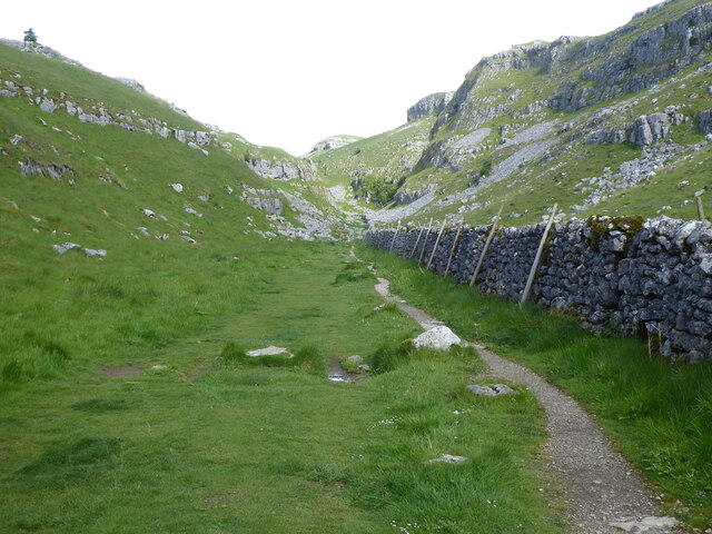
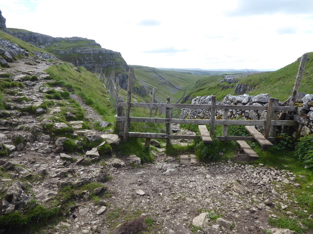
Seaty Hill boasts an extensive network of footpaths and trails that cater to all levels of experience. Adventurous hikers can tackle the challenging ascent to the summit, rewarded with unparalleled vistas of the Yorkshire Dales National Park, including nearby peaks such as Buckden Pike and Great Whernside.
The hill is home to a diverse range of flora and fauna, with several species of birds, butterflies, and small mammals inhabiting the area. It also serves as a habitat for rare and protected plants, adding to its ecological significance.
Seaty Hill's location within the Yorkshire Dales offers visitors the opportunity to explore the region's rich history and cultural heritage. Nearby attractions include traditional Yorkshire villages, historic landmarks, and charming country pubs, providing a perfect blend of outdoor adventure and cultural exploration.
Overall, Seaty Hill in Yorkshire is a captivating natural landmark, offering visitors a chance to immerse themselves in the beauty of the English countryside and experience the tranquility of the Yorkshire Dales.
If you have any feedback on the listing, please let us know in the comments section below.
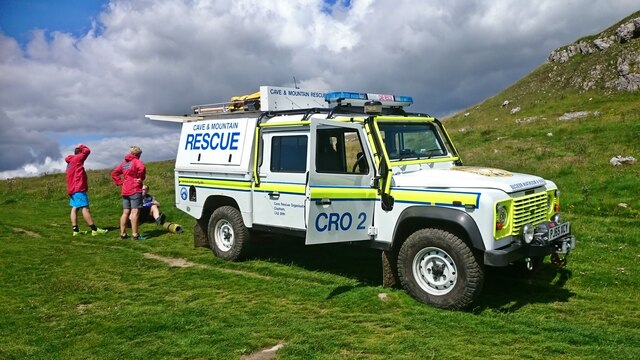
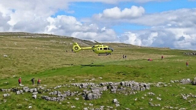
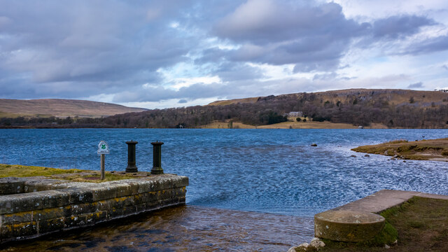
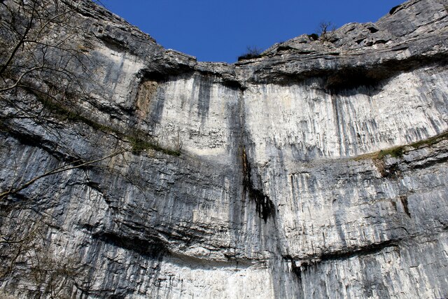
Seaty Hill Images
Images are sourced within 2km of 54.084267/-2.1438066 or Grid Reference SD9065. Thanks to Geograph Open Source API. All images are credited.


Seaty Hill is located at Grid Ref: SD9065 (Lat: 54.084267, Lng: -2.1438066)
Division: West Riding
Administrative County: North Yorkshire
District: Craven
Police Authority: North Yorkshire
What 3 Words
///apartment.fled.reveal. Near Settle, North Yorkshire
Nearby Locations
Related Wikis
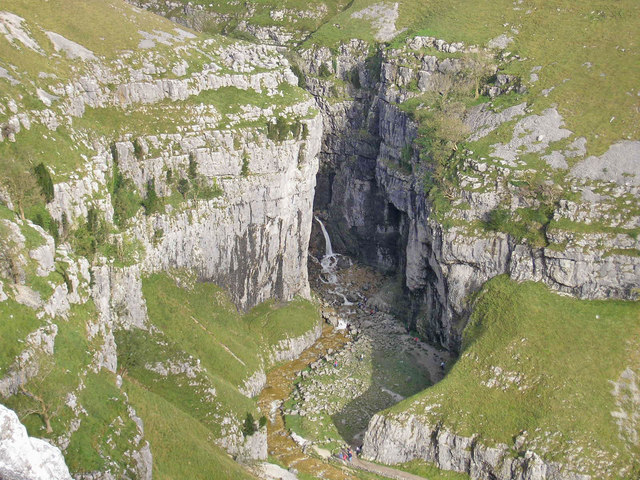
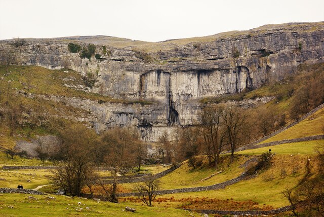
Gordale Scar
Gordale Scar is a limestone ravine 1 mile (1.6 km) north-east of Malham, North Yorkshire, England. It contains two waterfalls and has overhanging limestone...

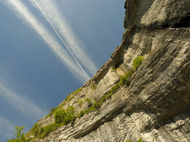
Malham Cove
Malham Cove is a large curved limestone formation 0.6 miles (1 km) north of the village of Malham, North Yorkshire, England. It was formed by a waterfall...
Malham Tarn Estate
Malham Tarn Estate is a National Trust property in North Yorkshire, England. The estate is located in the Pennines and lies between Wharfedale and Ribblesdale...
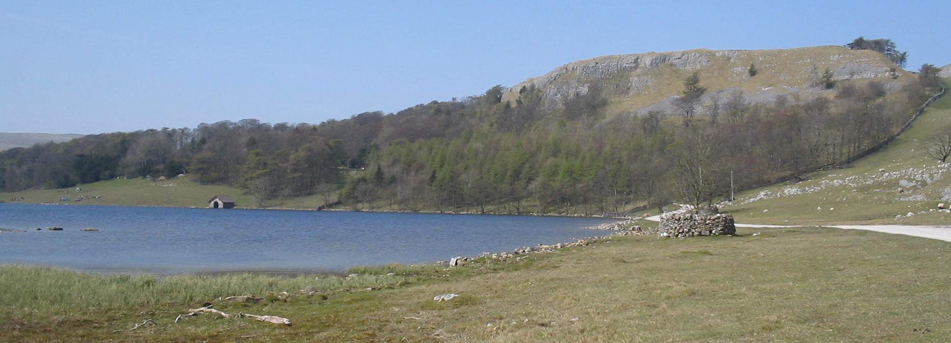
Malham Tarn
Malham Tarn is a glacial lake near the village of Malham in the Yorkshire Dales, England. The lake is one of only eight upland alkaline lakes in Europe...
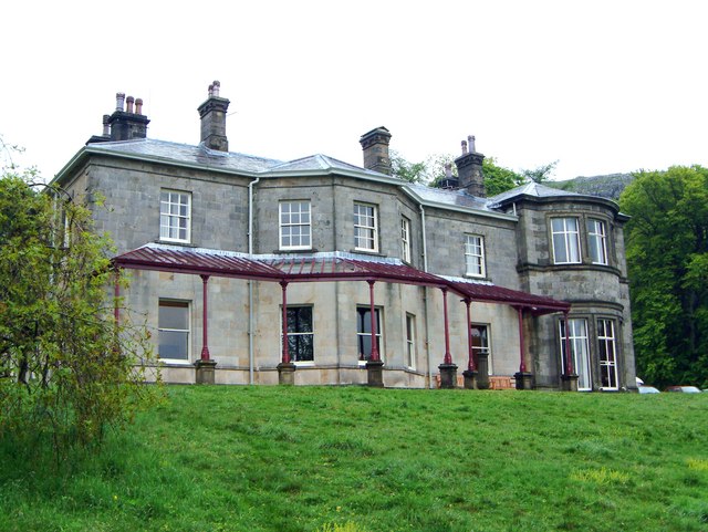
Malham Tarn Field Studies Centre
FSC Malham Tarn, situated near Malham Tarn in the Yorkshire Dales National Park, North Yorkshire, England, occupies a large Georgian country house, leased...

Friar Garth Farmhouse
Friar Garth Farmhouse is a Grade II listed building in Malham, North Yorkshire, England. It was listed as an historic site by English Heritage on 13 September...

Malham
Malham is a village and civil parish in the Craven district of North Yorkshire, England. Before 20th century boundary changes, the village was part of...
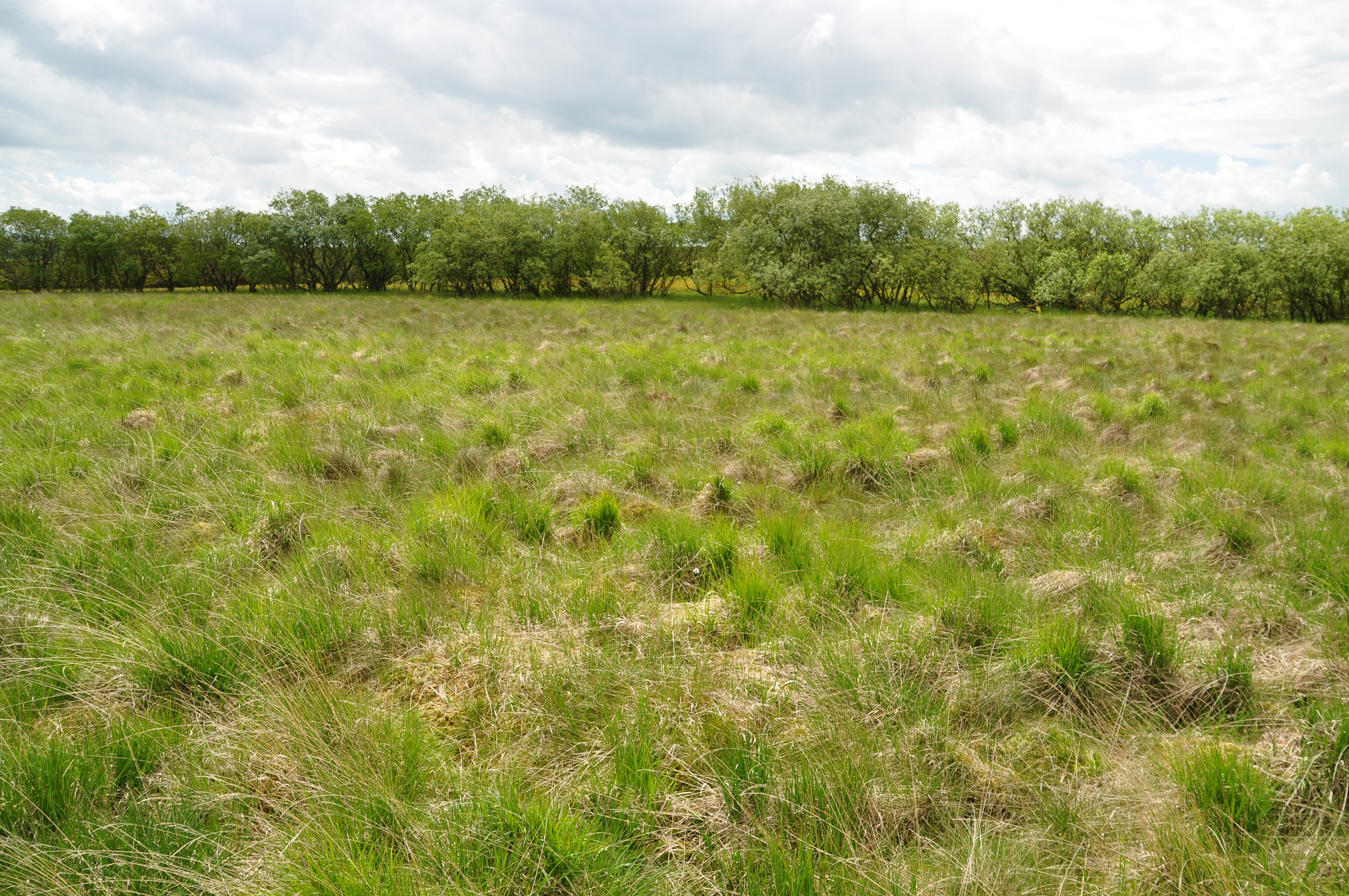
Malham Moor
Malham Moor is a civil parish in the Craven district of North Yorkshire, England. Its population was estimated at 70 in 2015.It has a joint parish council...
Nearby Amenities
Located within 500m of 54.084267,-2.1438066Have you been to Seaty Hill?
Leave your review of Seaty Hill below (or comments, questions and feedback).