Scrubbity Barrows
Heritage Site in Dorset
England
Scrubbity Barrows
Scrubbity Barrows is a significant heritage site located in the county of Dorset, England. Situated amidst the picturesque countryside, this archaeological site holds great importance in understanding the region's ancient history.
Dating back to the Bronze Age, Scrubbity Barrows consists of a cluster of burial mounds or barrows. These mounds are believed to have been constructed between 2200 and 1100 BC, serving as burial sites for local communities. The barrows vary in size and shape, with some measuring up to 60 feet in diameter.
The site's historical significance lies in the artifacts and remains that have been discovered within the barrows. Archaeological excavations have uncovered a range of items, including pottery, tools, and skeletal remains, shedding light on the funerary practices and daily life of the people who lived in the area thousands of years ago.
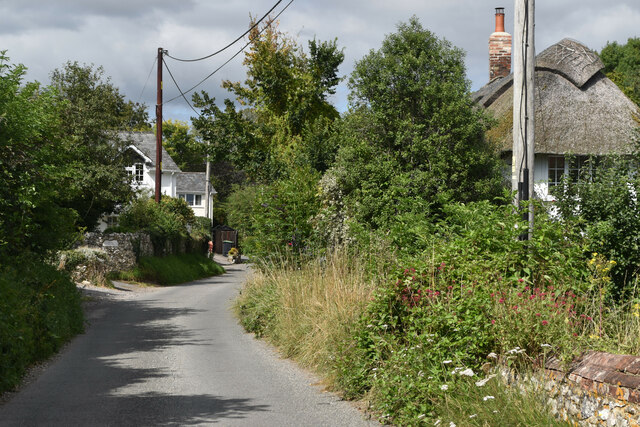
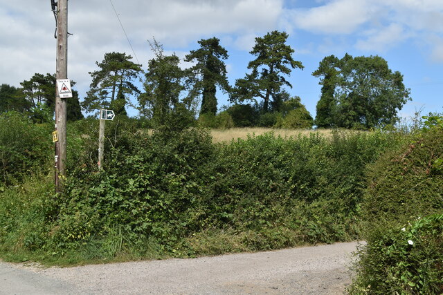
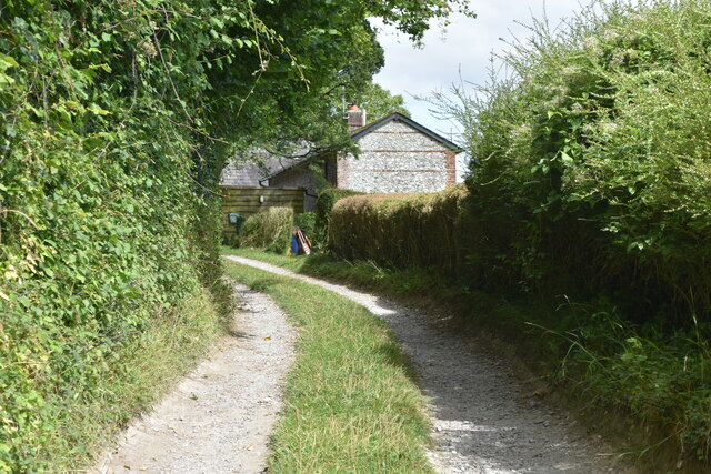
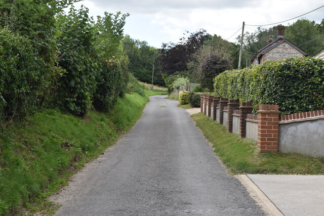
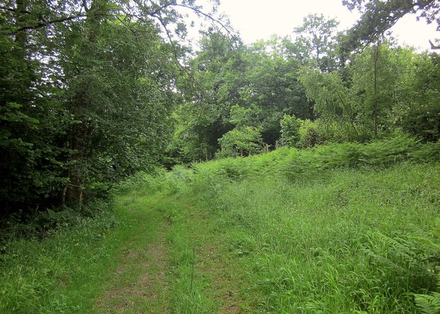
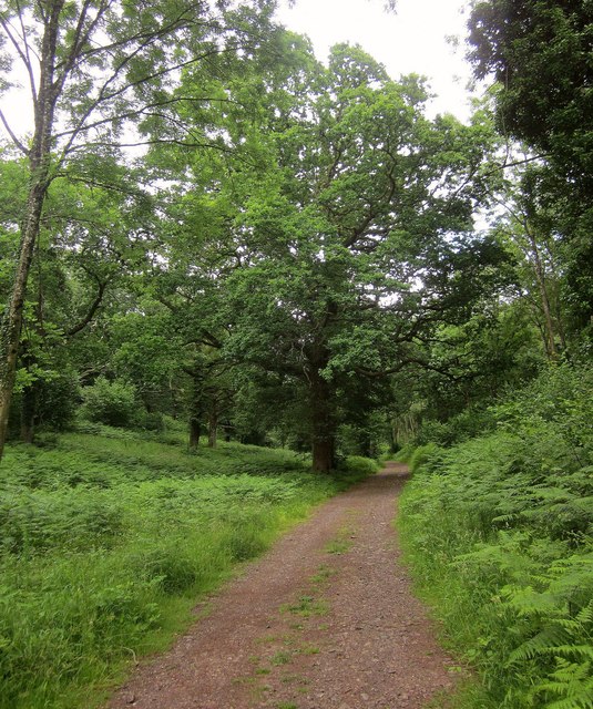
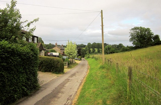
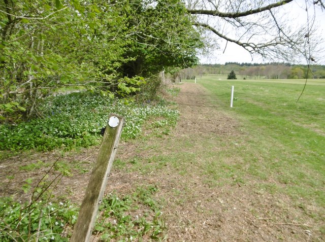
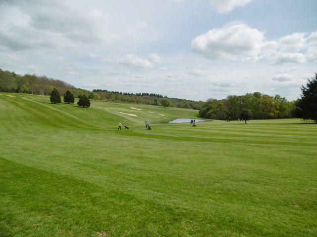
Moreover, the site's location offers stunning views of the surrounding landscape, with rolling hills and green pastures stretching as far as the eye can see. This natural beauty, combined with the rich cultural heritage, makes Scrubbity Barrows a popular destination for both history enthusiasts and nature lovers alike.
Preservation efforts have been undertaken to protect and maintain this heritage site for future generations. Visitors can access the site via designated pathways and are encouraged to respect the historical value of the barrows by not disturbing the mounds or removing any artifacts. Interpretive panels provide informative details about the site's history, allowing visitors to engage with the past and appreciate the significance of Scrubbity Barrows in Dorset's cultural landscape.
If you have any feedback on the listing, please let us know in the comments section below.
Scrubbity Barrows Images
Images are sourced within 2km of 50.957/-2.035 or Grid Reference ST9717. Thanks to Geograph Open Source API. All images are credited.


Scrubbity Barrows is located at Grid Ref: ST9717 (Lat: 50.957, Lng: -2.035)
Unitary Authority: Dorset
Police Authority: Dorset
What 3 Words
///sleeps.occupiers.dime. Near Bower Chalke, Wiltshire
Nearby Locations
Related Wikis

Cranborne Chase and West Wiltshire Downs
Cranborne Chase and West Wiltshire Downs is an Area of Outstanding Natural Beauty (AONB) covering 379 square miles (980 km2) of Dorset, Hampshire, Somerset...

Cranborne Chase
Cranborne Chase (grid reference ST970180) is an area of central southern England, straddling the counties Dorset, Hampshire and Wiltshire. It is part of...

Woodcutts
Woodcutts is a hamlet within the parish of Sixpenny Handley and is located in the north of Dorset, near to the Wiltshire border. Originally named "Woodcotes...

Woodcutts Settlement
Woodcutts Settlement is an archaeological site of the late Iron Age and Romano-British period on Cranborne Chase, England. It is situated about 1 mile...

Sixpenny Handley
Sixpenny Handley or Handley is a village and former civil parish, now in the parish of Sixpenny Handley and Pentridge, in north east Dorset, England,...

South Lodge Camp
South Lodge Camp is an archaeological site of the Bronze Age, about 0.6 miles (1.0 km) south-east of the village of Tollard Royal, in Wiltshire, England...

Sandroyd School
Sandroyd School is an independent co-educational preparatory school for day and boarding pupils aged 2 to 13 in the south of Wiltshire, England. The school...
Sixpenny Handley Hundred
Sixpenny Handley Hundred was a hundred in the county of Dorset, England. It originally consisted of two distinct hundreds: Sexpena and Hanlega. Sometime...
Nearby Amenities
Located within 500m of 50.957,-2.035Have you been to Scrubbity Barrows?
Leave your review of Scrubbity Barrows below (or comments, questions and feedback).