Robin Hood's Bower
Heritage Site in Wiltshire
England
Robin Hood's Bower
Robin Hood's Bower is a historic landmark located in the county of Wiltshire, England. This heritage site holds significant historical and cultural importance, attracting visitors from far and wide.
Situated amidst the picturesque countryside, Robin Hood's Bower is nestled within the charming village of Sherston. The site is believed to have been the birthplace and childhood home of the legendary outlaw, Robin Hood. This association with the iconic folklore character has contributed to its enduring popularity and interest.
The main attraction at Robin Hood's Bower is the ancient oak tree that stands at the heart of the site. This majestic tree is said to be over 800 years old and is surrounded by a protective fence. According to local legends, Robin Hood used to seek shelter and plan his adventures under this very tree. The gnarled branches and sprawling roots of the oak provide an enchanting atmosphere, evoking a sense of mystery and intrigue.
Apart from the ancient oak, the site also features a small visitor center that showcases artifacts and information related to the legend of Robin Hood. Visitors can learn about the folklore, historical context, and the enduring legacy of the legendary outlaw. Additionally, there are well-maintained walking trails that wind through the surrounding woodland, allowing visitors to explore the natural beauty of the area.
Robin Hood's Bower is a cherished heritage site that offers a unique glimpse into the captivating world of folklore and history. It serves as a reminder of the enduring popularity and cultural significance of the legendary figure, Robin Hood, while also providing an enjoyable and educational experience for visitors of all ages.
If you have any feedback on the listing, please let us know in the comments section below.
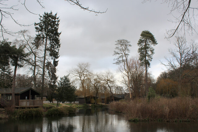
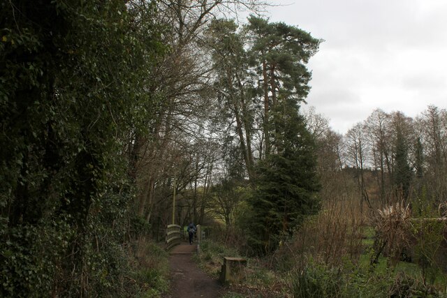
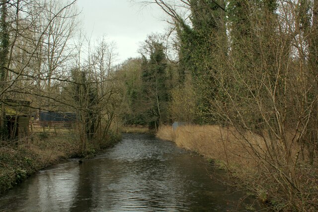
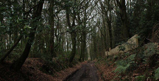
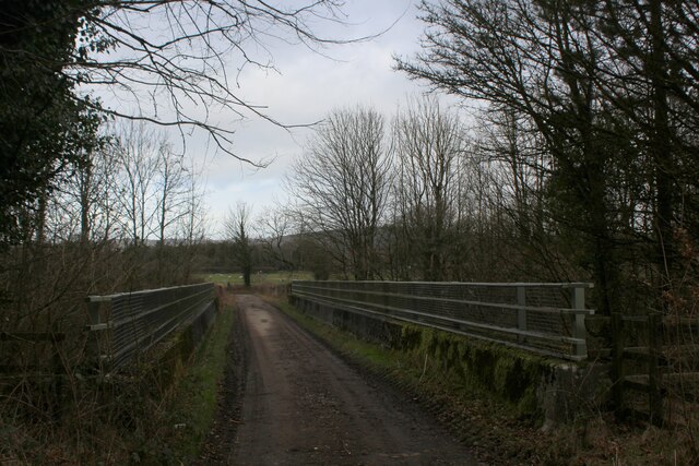
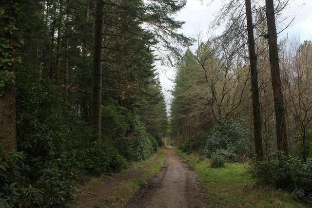
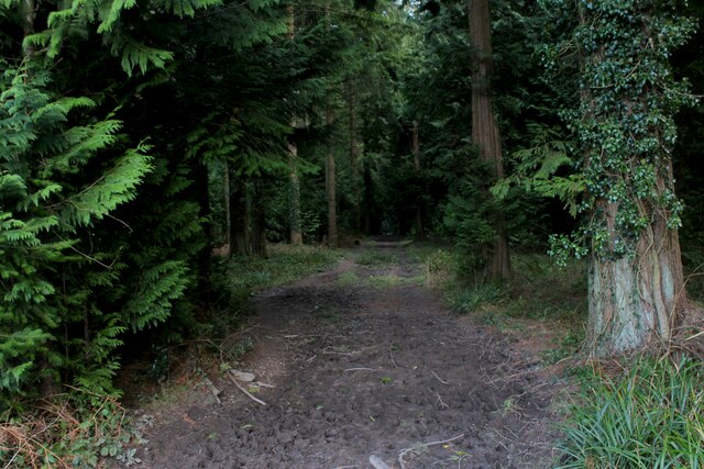
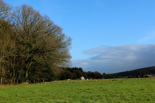
Robin Hood's Bower Images
Images are sourced within 2km of 51.182/-2.178 or Grid Reference ST8742. Thanks to Geograph Open Source API. All images are credited.


Robin Hood's Bower is located at Grid Ref: ST8742 (Lat: 51.182, Lng: -2.178)
Unitary Authority: Wiltshire
Police Authority: Wiltshire
What 3 Words
///lizards.evenings.profiled. Near Bishopstrow, Wiltshire
Nearby Locations
Related Wikis

Longbridge Deverill
Longbridge Deverill is a village and civil parish about 2.5 miles (4.0 km) south of Warminster in Wiltshire, England. It is on the A350 primary route which...

Bishopstrow
Bishopstrow is a small village and civil parish in Wiltshire, England, on the southeastern edge of the town of Warminster. The village is about 1.5 miles...

Christ Church, Warminster
Christ Church is an Anglican church building serving a parish on the southern side of Warminster, Wiltshire, England. == History == The church was built...

Sutton Veny
Sutton Veny is a village and civil parish in the Wylye valley, to the southeast of the town of Warminster in Wiltshire, England; the village is about 3...

Warminster Town F.C.
Warminster Town Football Club are a football club based in Warminster, Wiltshire, England. They are currently members of the Western League Division One...

St John's Church, Warminster
St John's Church, in full the Church of St John the Evangelist, is a Church of England church in the Boreham area in the south-east of the town of Warminster...

Shearwater (lake)
Shearwater (or Shear Water) is a man-made freshwater lake near Crockerton village, about 2+1⁄4 miles (3.6 km) southwest of the town of Warminster in Wiltshire...
Kingdown School
Kingdown School is a mixed secondary school and sixth form in Warminster, Wiltshire, England for students aged 11 to 18. Since 1 August 2011, the school...
Nearby Amenities
Located within 500m of 51.182,-2.178Have you been to Robin Hood's Bower?
Leave your review of Robin Hood's Bower below (or comments, questions and feedback).