Robin Hoods Butts
Heritage Site in Shropshire
England
Robin Hoods Butts
Robin Hood's Butts, located in Shropshire, England, is a significant heritage site associated with the legendary outlaw Robin Hood. The site comprises two prominent earthworks, known as Robin Hood's Butts, which are believed to have been used as archery practice ranges during medieval times.
Situated in a tranquil rural setting near the village of Alveley, these earthworks consist of two mounds, each measuring approximately 50 meters in diameter. The mounds are circular in shape and have a distinct raised rim, suggesting their purpose as targets for archery practice. The site is surrounded by picturesque woodlands, enhancing its historical charm.
Legend has it that Robin Hood himself used these butts as training grounds for his band of Merry Men. The site's association with the iconic outlaw has attracted significant interest and folklore over the years, adding to its allure for visitors and history enthusiasts.
Robin Hood's Butts stands as a testament to the importance of archery in medieval England. It provides a glimpse into the skills required for both hunting and warfare during that era. The site's historical significance is further emphasized by its inclusion on the Shropshire Historic Environment Record, ensuring its protection and preservation for future generations.
Today, visitors can explore the site and marvel at the well-preserved earthworks. The tranquil surroundings offer a peaceful and reflective atmosphere, allowing visitors to appreciate the historical context and imagine the archery skills practiced at this very spot centuries ago. Robin Hood's Butts stands as a unique heritage site, connecting the present with England's medieval past and the legendary tales of Robin Hood.
If you have any feedback on the listing, please let us know in the comments section below.
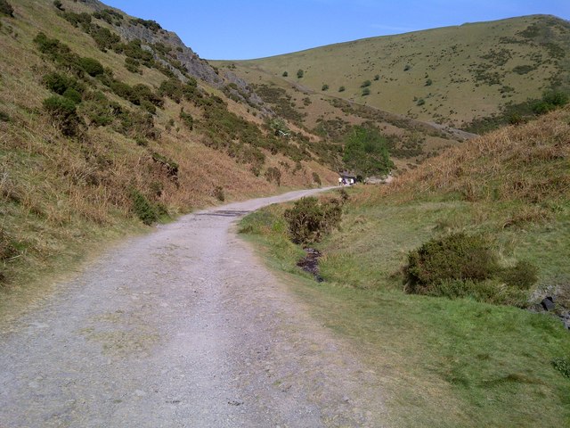
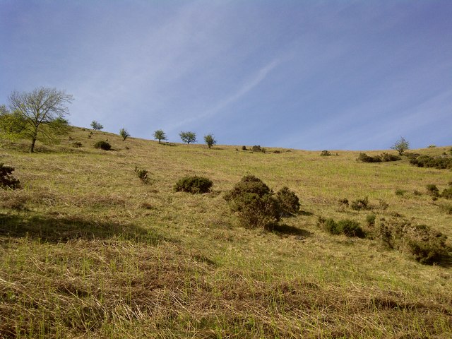
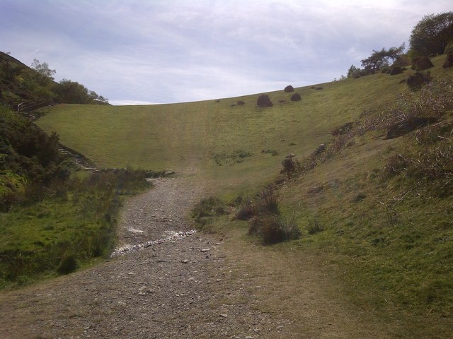
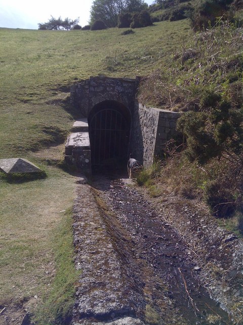
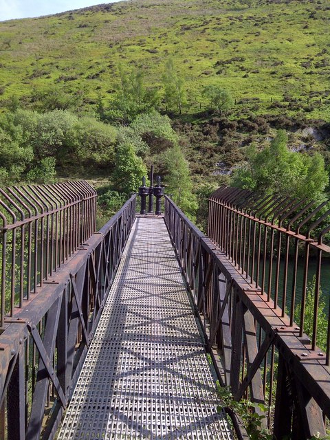
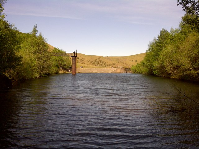
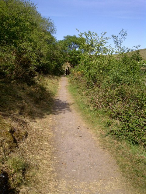
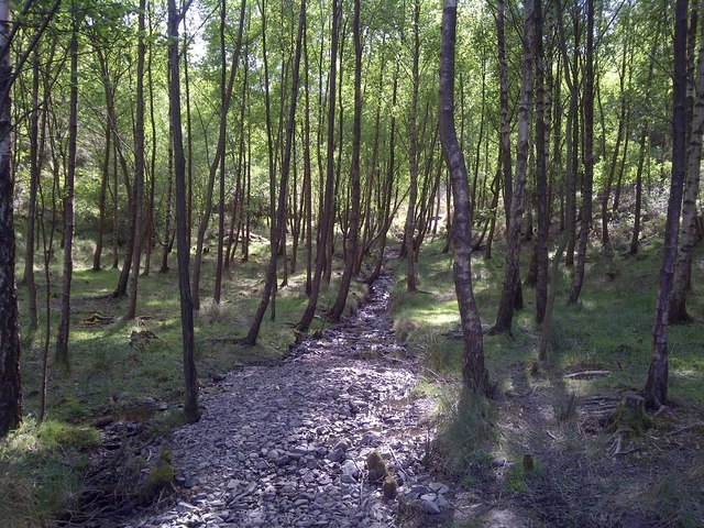
Robin Hoods Butts Images
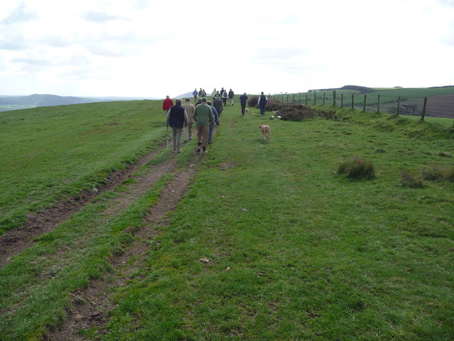
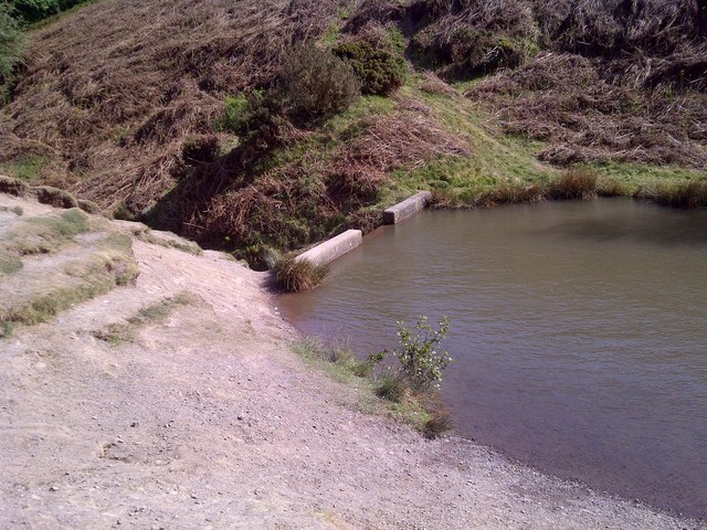
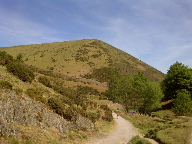
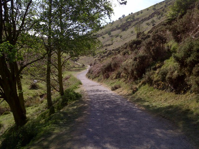
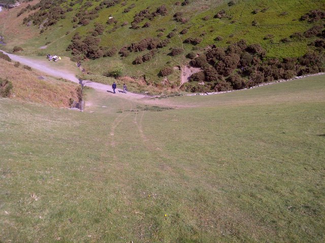
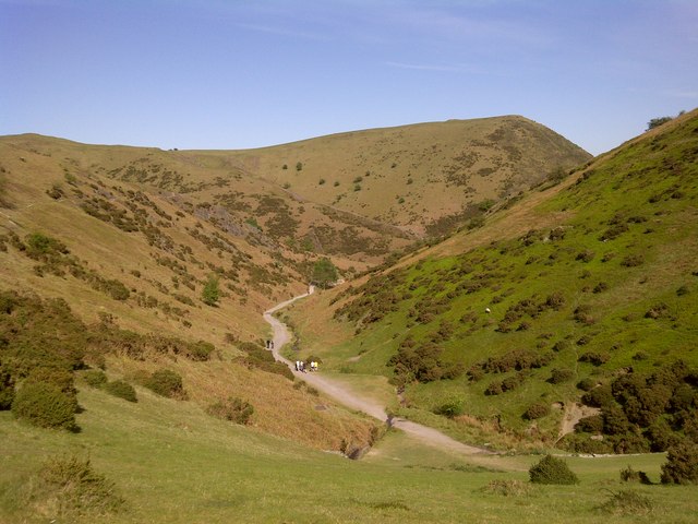
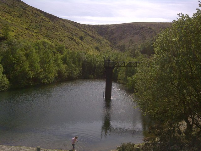
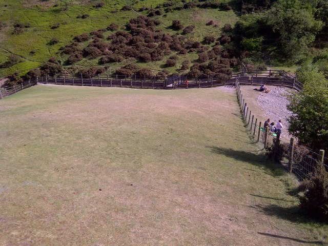
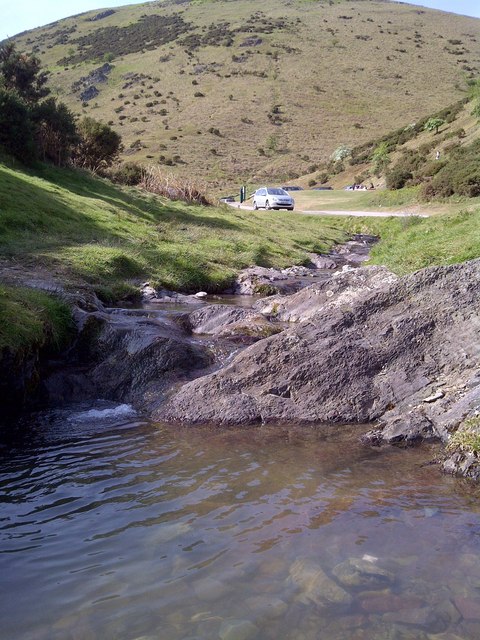
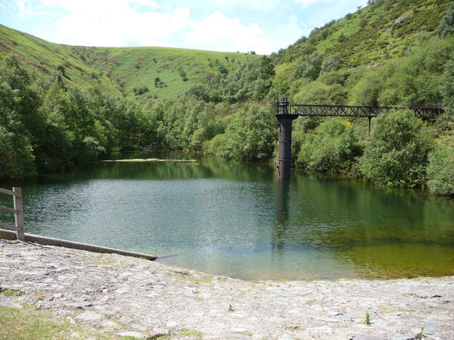
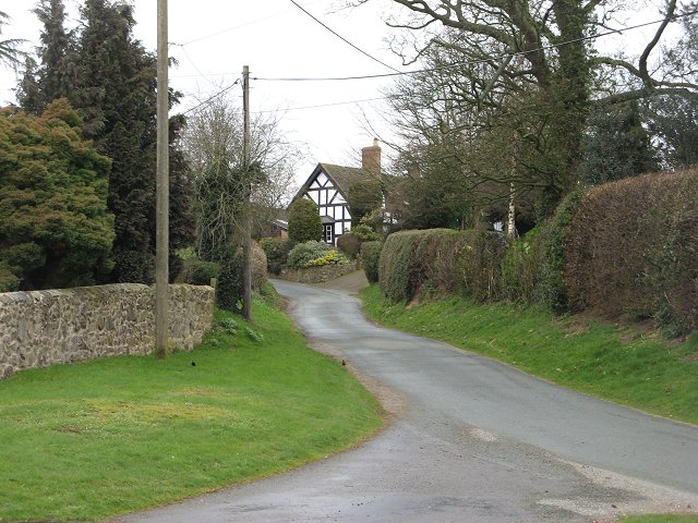
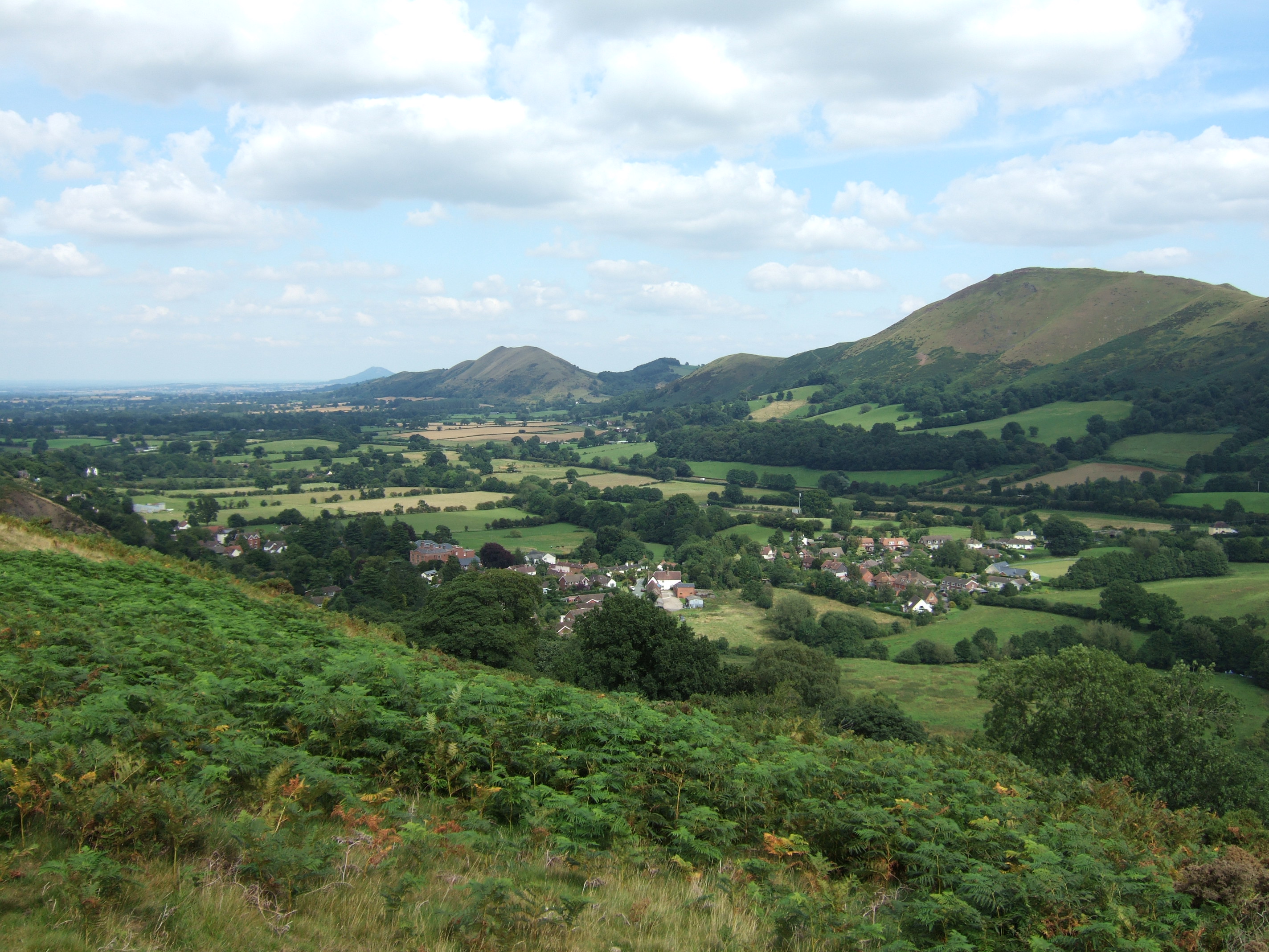
Images are sourced within 2km of 52.563/-2.833 or Grid Reference SO4396. Thanks to Geograph Open Source API. All images are credited.
Robin Hoods Butts is located at Grid Ref: SO4396 (Lat: 52.563, Lng: -2.833)
What 3 Words
///fuzz.excavated.busters. Near Church Stretton, Shropshire
Nearby Locations
Related Wikis

Long Mynd
The Long Mynd (Welsh: Cefn Hirfynydd) is a heath and moorland plateau that forms part of the Shropshire Hills in Shropshire, England. The high ground,...

Betchcott
Betchcott () is a hamlet near the villages of Picklescott and Woolstaston in Shropshire, England. It lies in the parish of Smethcott, in the northern foothills...
Woolstaston
Woolstaston is a small village and civil parish in Shropshire, England, south of Shrewsbury and north of the nearest town, Church Stretton. It is located...
All Stretton
All Stretton is a village and a now separate civil parish in Shropshire, England. Much of it is covered by a Conservation Area. == Geography == All Stretton...
Nearby Amenities
Located within 500m of 52.563,-2.833Have you been to Robin Hoods Butts ?
Leave your review of Robin Hoods Butts below (or comments, questions and feedback).