Rivington Hall Barn
Heritage Site in Lancashire Chorley
England
Rivington Hall Barn
Rivington Hall Barn is a historic building located in Lancashire, England. It is a Grade II listed timber-framed barn that dates back to the 16th century. Situated in the picturesque village of Rivington, the barn has become a popular heritage site due to its architectural significance and historical importance.
The barn is characterized by its impressive oak frame construction, with sturdy timber beams and traditional craftsmanship. It has a large open plan interior, which was originally used for storing agricultural produce and housing livestock. The barn's design showcases the rural and agricultural heritage of the region.
Over the years, Rivington Hall Barn has undergone several renovations and restorations to preserve its original structure and features. Today, it stands as a testament to Lancashire's rural past and serves as a venue for various events and activities. The barn hosts weddings, exhibitions, concerts, and other community gatherings, attracting visitors from near and far.
Surrounded by beautiful countryside and adjacent to Rivington Hall, the barn offers a picturesque setting for visitors to explore and appreciate its historical significance. The site also features well-maintained gardens and grounds, making it an ideal location for leisurely walks and picnics.
Rivington Hall Barn is an important heritage site in Lancashire, providing a glimpse into the region's agricultural past and serving as a versatile venue for cultural and social events. Its architectural beauty and historical value make it a must-visit destination for history enthusiasts and nature lovers alike.
If you have any feedback on the listing, please let us know in the comments section below.
Rivington Hall Barn Images
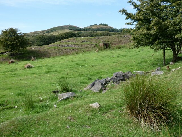
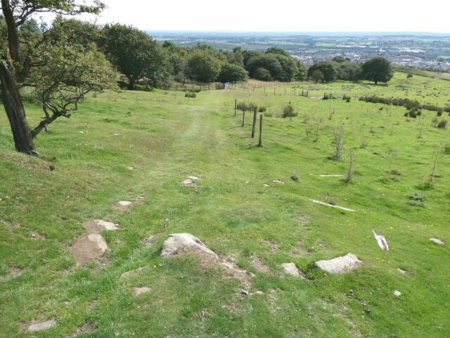
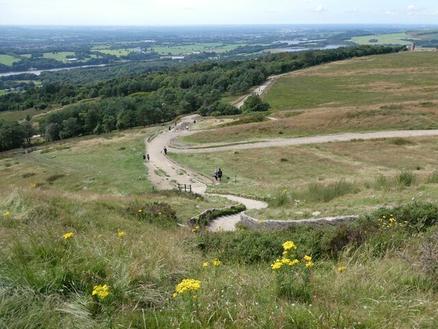
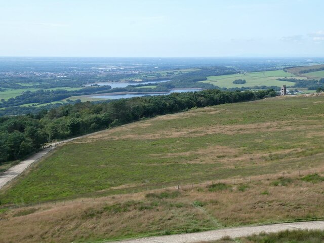
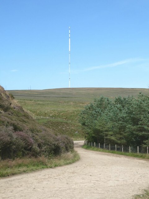
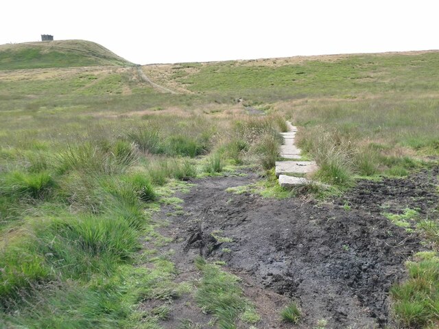
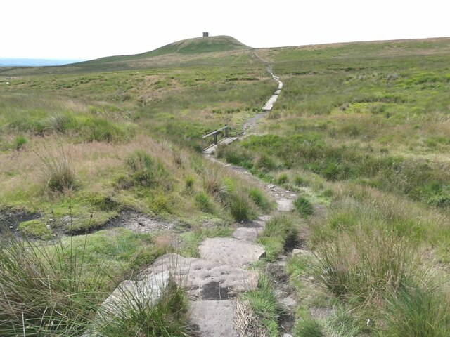
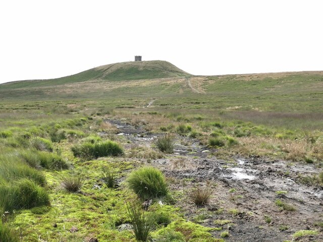
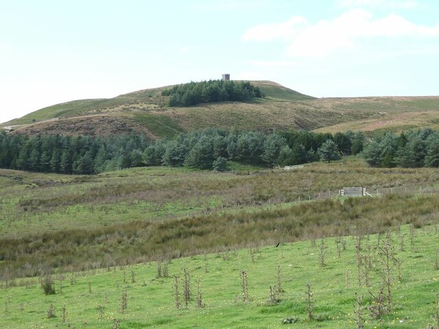
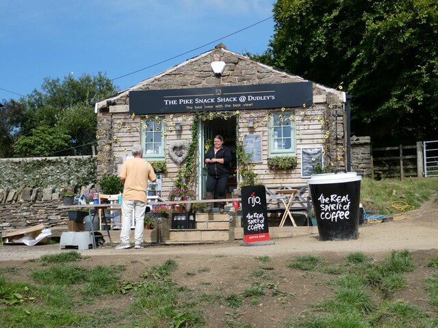
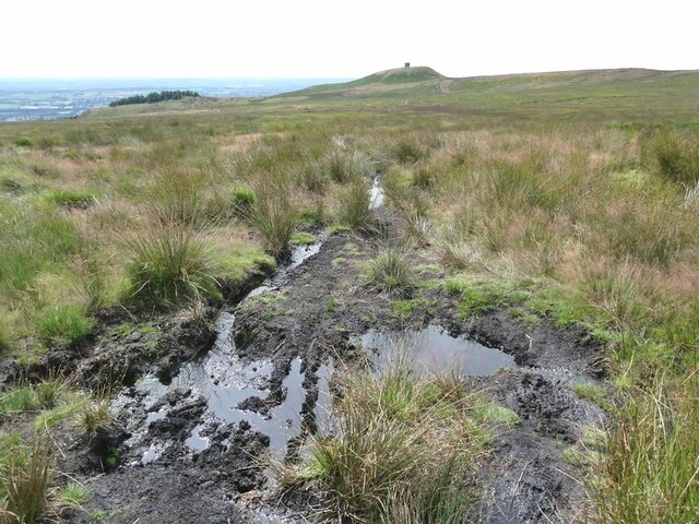
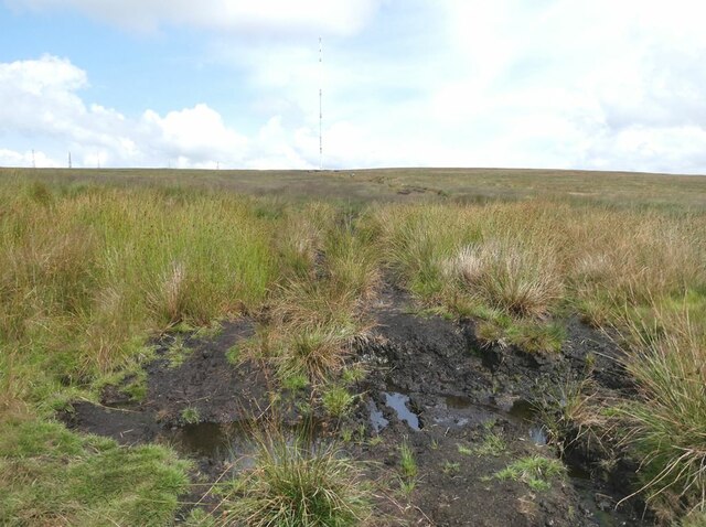
Images are sourced within 2km of 53.625/-2.552 or Grid Reference SD6314. Thanks to Geograph Open Source API. All images are credited.


Rivington Hall Barn is located at Grid Ref: SD6314 (Lat: 53.625, Lng: -2.552)
Administrative County: Lancashire
District: Chorley
Police Authority: Lancashire
What 3 Words
///excellent.bowhead.silently. Near Horwich, Manchester
Nearby Locations
Related Wikis
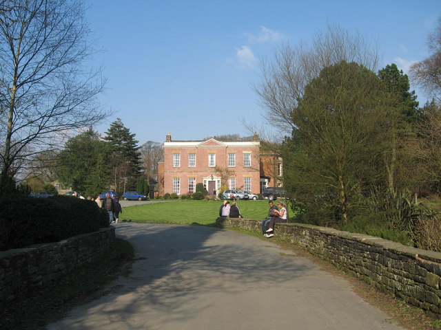
Rivington Hall
Rivington Hall is a Grade II* listed building in Rivington, Lancashire, England. It was the manor house for the Lords of the Manor of Rivington. The hall...
Terraced Gardens, Rivington
Terraced Gardens of Rivington (Leverhulmes Former Gardens) is a landscaped woodland on the hillside of Rivington Pike, in Rivington Parish in the Chorley...

Great House Barn
Great House Barn is a 16th-century barn and Listed building in Rivington, Lancashire, England. Built as a tithe barn it is believed to be one of the oldest...

Rivington Unitarian Chapel
Rivington Unitarian Chapel is an active place of Unitarian worship in Rivington, Lancashire, England. It was founded in 1703, although its congregation...
Nearby Amenities
Located within 500m of 53.625,-2.552Have you been to Rivington Hall Barn?
Leave your review of Rivington Hall Barn below (or comments, questions and feedback).