Repentance Tower

Heritage Site in Dumfriesshire

Scotland

Repentance Tower
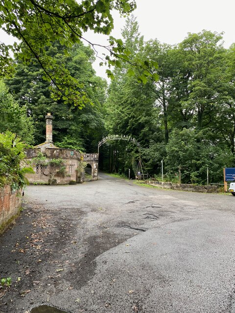
Entrance to Hoddom Castle
Entrance to Hoddom Castle Credit: thejackrustles

The requested URL returned error: 429 Too Many Requests

If you have any feedback on the listing, please let us know in the comments section below.

Repentance Tower Images

Images are sourced within 2km of 55.04/-3.322 or Grid Reference NY1572. Thanks to Geograph Open Source API. All images are credited.

Entrance to Hoddom Castle
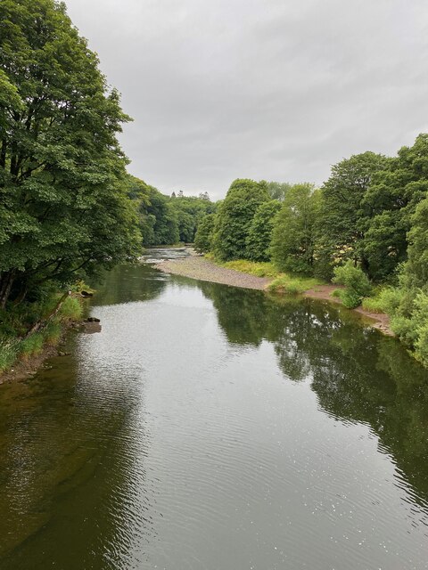
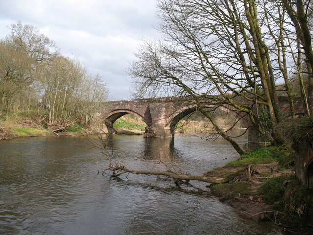
View from Hoddum Bridge
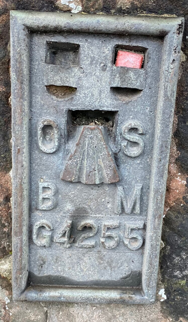
OS Flush Bracket G4255 Hoddom Bridge <span class="nowrap"><a title="https://www.bench-marks.org.uk/bm445" rel="nofollow ugc noopener" href="https://www.bench-marks.org.uk/bm445">Link</a><img style="margin-left:2px;" alt="External link" title="External link - shift click to open in new window" src="https://s1.geograph.org.uk/img/external.png" width="10" height="10"/></span>
OS Flush Bracket G4255 Hoddom Bridge
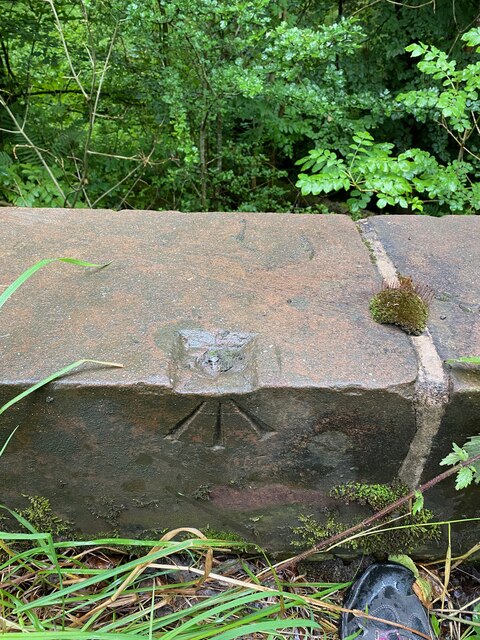
OS Rivet - Hoddom, Bridge <span class="nowrap"><a title="https://www.bench-marks.org.uk/bm136250" rel="nofollow ugc noopener" href="https://www.bench-marks.org.uk/bm136250">Link</a><img style="margin-left:2px;" alt="External link" title="External link - shift click to open in new window" src="https://s1.geograph.org.uk/img/external.png" width="10" height="10"/></span>
OS Rivet - Hoddom, Bridge
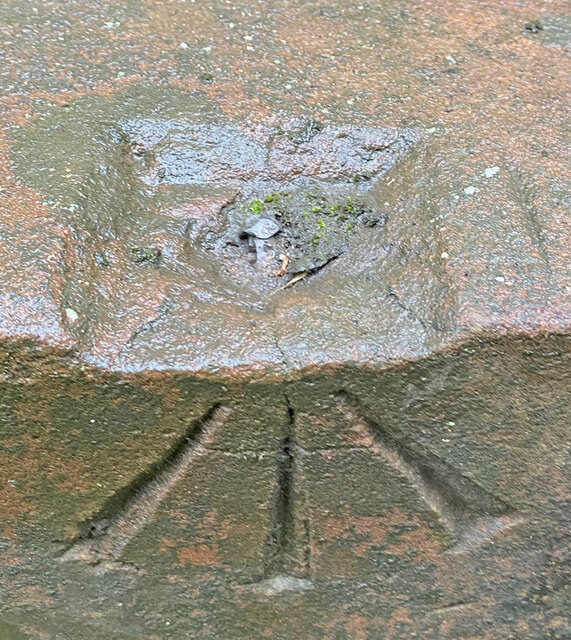
Close up of OS Rivet Bridge, Hoddom <span class="nowrap"><a title="https://www.bench-marks.org.uk/bm136250" rel="nofollow ugc noopener" href="https://www.bench-marks.org.uk/bm136250">Link</a><img style="margin-left:2px;" alt="External link" title="External link - shift click to open in new window" src="https://s1.geograph.org.uk/img/external.png" width="10" height="10"/></span>
Close up of OS Rivet Bridge, Hoddom
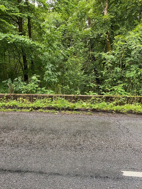
West parapet of bridge Hoddom
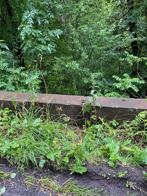
Section of bridge parapet with OS Rivet
Braeside, Hoddom
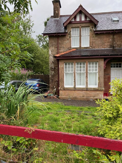
Braeside, Hoddom
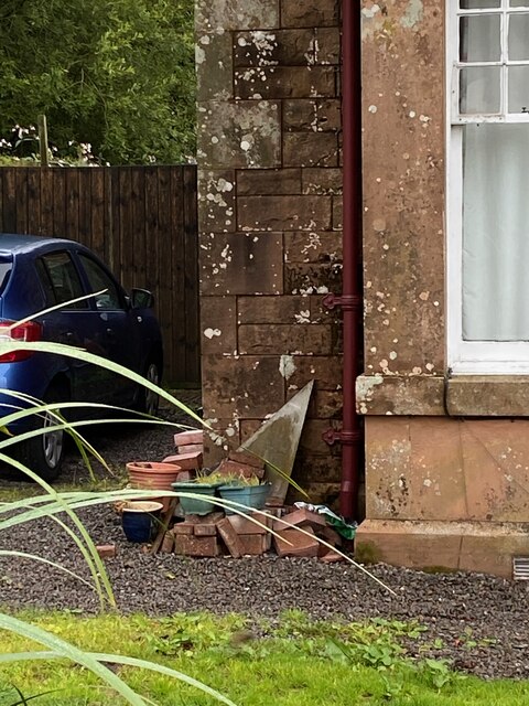
Section of Braeside, Hoddom
OS Flush Bracket G4254 - Hoddom Mains <span class="nowrap"><a title="https://www.bench-marks.org.uk/bm11292" rel="nofollow ugc noopener" href="https://www.bench-marks.org.uk/bm11292">Link</a><img style="margin-left:2px;" alt="External link" title="External link - shift click to open in new window" src="https://s1.geograph.org.uk/img/external.png" width="10" height="10"/></span>
OS Flush Bracket G4254 - Hoddom Mains
Hoddom Bridge The eighteenth century Hoddom Bridge is Category A listed and carries the B723 road across the River Annan.
The Annandale Way long distance path crosses the bridge.
Hoddom Bridge
The eighteenth century Hoddom Bridge is Category A listed and carries the B723 road across the River Annan. The Annandale Way long distance path crosses the bridge.
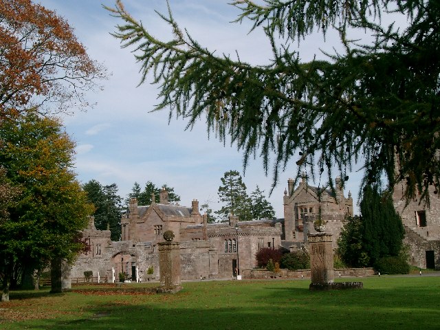
Hoddom Castle Picturesque dereliction in the centre of a top-rated caravan site with own golf course.
Hoddom Castle
Picturesque dereliction in the centre of a top-rated caravan site with own golf course.
Repentance Tower Ancient tower and burial ground overlooking Hoddom Castle
Repentance Tower
Ancient tower and burial ground overlooking Hoddom Castle
Hoddom Bridge Bridge over deep pool on the River Annan
Hoddom Bridge
Bridge over deep pool on the River Annan
Royal's Memorial, River Annan 1898 memorial to an otterhound who died of pneumonia after too long in the river. Are there any otterhounds still surviving?
Royal's Memorial, River Annan
1898 memorial to an otterhound who died of pneumonia after too long in the river. Are there any otterhounds still surviving?
Dead Tree, Hoddom An obstacle which blocks the approach to the 2nd hole on the Hoddom Castle course.
Dead Tree, Hoddom
An obstacle which blocks the approach to the 2nd hole on the Hoddom Castle course.
Welcome to Woodcockair Start of a series of footpaths covering the area of woodland beside the river Annan known as Woodcockair (or Woodcock Air on OS 1:25000 map).
Welcome to Woodcockair
Start of a series of footpaths covering the area of woodland beside the river Annan known as Woodcockair (or Woodcock Air on OS 1:25000 map).
Paths converge, Woodcockair A number of footpaths cover this area of mixed woodland beside the river Annan near Hoddom.
Paths converge, Woodcockair
A number of footpaths cover this area of mixed woodland beside the river Annan near Hoddom.
Show me another place!

Repentance Tower is located at Grid Ref: NY1572 (Lat: 55.04, Lng: -3.322)

Unitary Authority: Dumfries and Galloway

Police Authority: Dumfries and Galloway

What 3 Words

///dairy.acre.fearfully. Near Annan, Dumfries & Galloway

Nearby Locations

Repentance Tower

Related Wikis

Hoddom Castle

Hoddom Castle is a large tower house in Dumfries and Galloway, south Scotland. It is located by the River Annan, 4 kilometres (2.5 mi) south-west of Ecclefechan...

Hoddom

Hoddom is a small settlement and civil parish in Dumfries and Galloway, Scotland, dating back to the 8th century. == Location == Hoddom is 13 miles by...

Brydekirk

Brydekirk (Scottish Gaelic: Eaglais Bhride) is a village in Annandale in Dumfries and Galloway, Scotland located approximately 4 km north of Annan. The...

Ecclefechan railway station

Ecclefechan railway station was a station which served the rural area around Ecclefechan, south of Lockerbie in Applegarth parish, Scottish county of Dumfries...

Nearby Amenities

Located within 500m of 55.04,-3.322
Shower
Access: customers
Description: Womens shower
Lat/Long: 55.0443739/-3.3230426
Repentance Tower
Historic: building
Wikidata: Q7313973
Wikipedia: en:Repentance Tower
Lat/Long: 55.0375058/-3.3237466
Pub
Lat/Long: 55.0442958/-3.32275
Entrance: yes
Lat/Long: 55.0441598/-3.3231363
Power: pole
Lat/Long: 55.0389068/-3.3158148
Power: pole
Lat/Long: 55.0388847/-3.3175793
Power: pole
Lat/Long: 55.0388728/-3.319264
Power: pole
Lat/Long: 55.0388596/-3.3209487
Power: pole
Lat/Long: 55.0388345/-3.3225612
Power: pole
Lat/Long: 55.0388684/-3.3236457
Power: pole
Lat/Long: 55.038923/-3.3253124
Power: pole
Lat/Long: 55.0389895/-3.3269996
Power: pole
Lat/Long: 55.0388817/-3.3280944
Power: pole
Lat/Long: 55.0387769/-3.329184
Noexit: yes
Lat/Long: 55.0427313/-3.322518
The data included in this document is from www.openstreetmap.org. The data is made available under ODbL.

Have you been to Repentance Tower?

Leave your review of Repentance Tower below (or comments, questions and feedback).