Redcliffe Bay

Heritage Site in Somerset

England

Redcliffe Bay

Track looking toward Weston Down
Track looking toward Weston Down Credit: Adrian and Janet Quantock

The requested URL returned error: 429 Too Many Requests

If you have any feedback on the listing, please let us know in the comments section below.

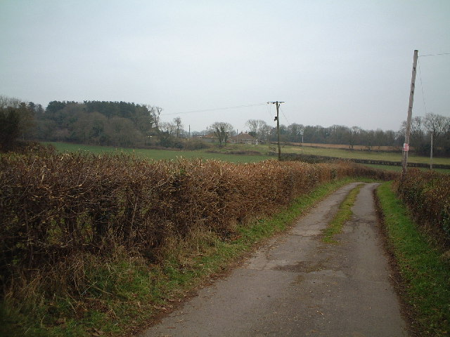
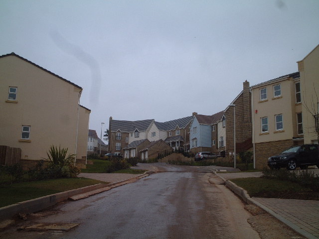
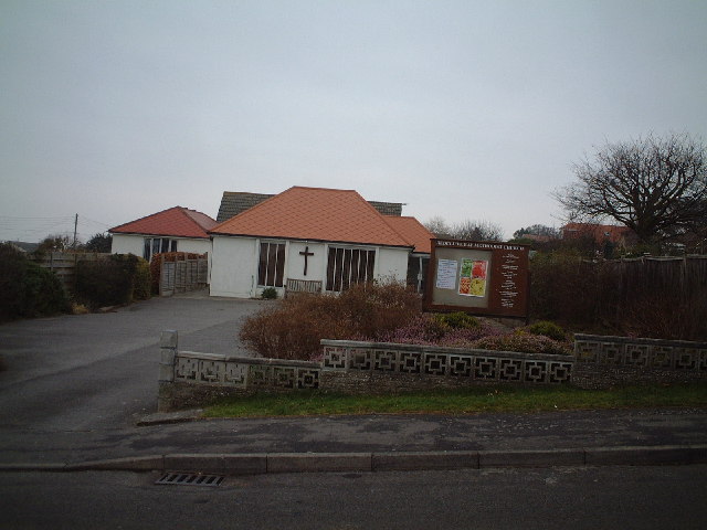
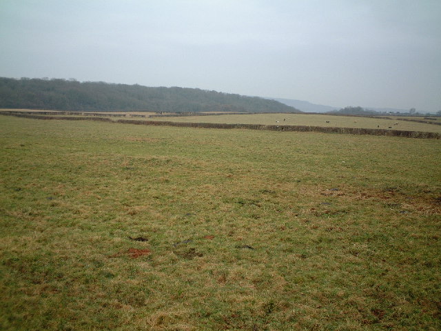
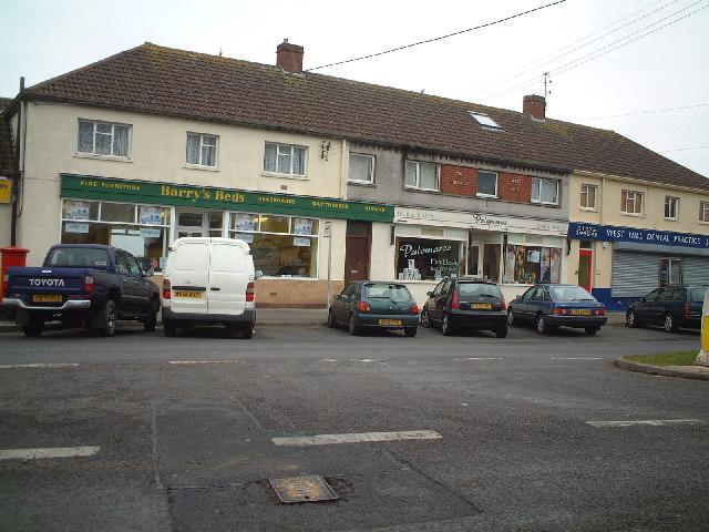
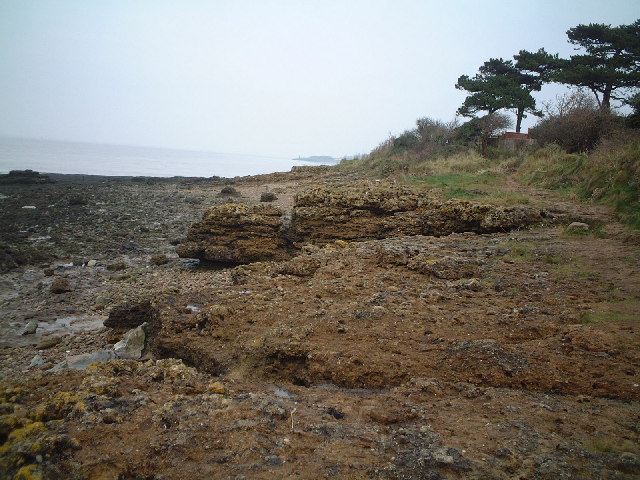
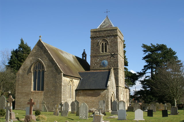
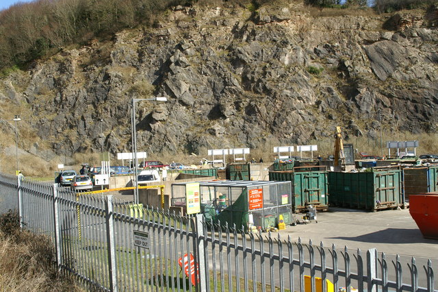
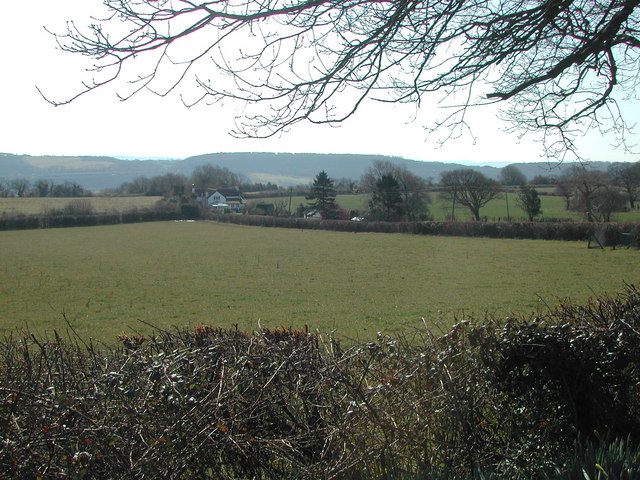
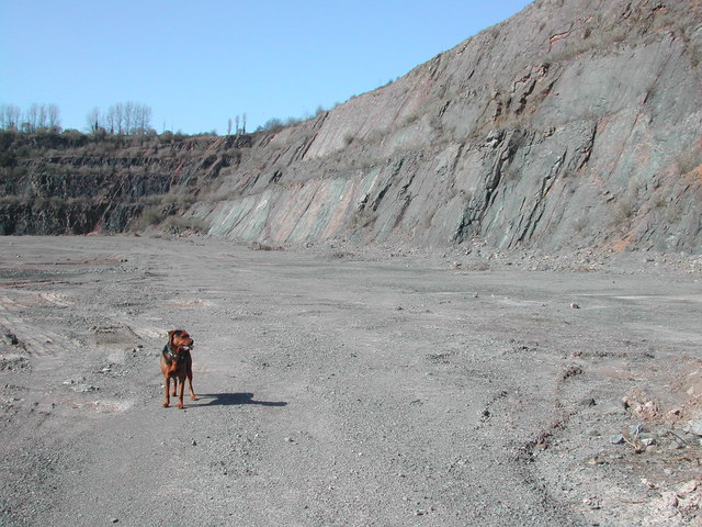
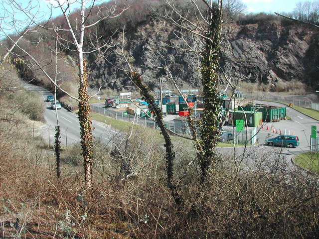
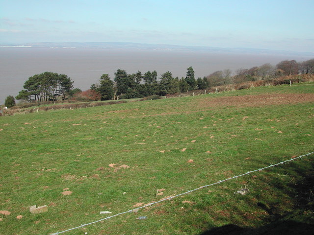
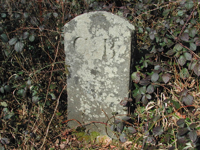
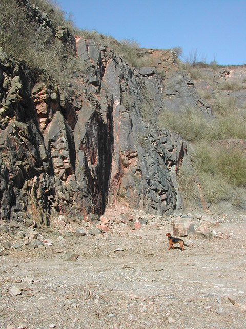
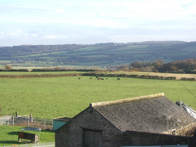
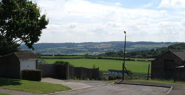
Redcliffe Bay Images

Images are sourced within 2km of 51.481/-2.808 or Grid Reference ST4376. Thanks to Geograph Open Source API. All images are credited.

Track looking toward Weston Down
Charlcombe Rise. New houses at Charlcombe Rise
Charlcombe Rise.
New houses at Charlcombe Rise
Redcliff Bay Methodist Church
Portishead Down.
Portishead Down.
Shops at Triangle Shops at the triangle West Hill
Shops at Triangle
Shops at the triangle West Hill
Black Nore Seashore There was once at lighthouse near by.
Black Nore Seashore
There was once at lighthouse near by.
St Peter & St Paul Church Weston in Gordano A Plaque inside the vestibule states...
"A clock was erected in the church tower by Rector of this Parish Thomas Hartley-Jackson, M.A.Hon:C.F. as a gift to commemorate the Coronation of Her Majesty Queen Elizabeth II. June-1953"
St Peter & St Paul Church Weston in Gordano
A Plaque inside the vestibule states... "A clock was erected in the church tower by Rector of this Parish Thomas Hartley-Jackson, M.A.Hon:C.F. as a gift to commemorate the Coronation of Her Majesty Queen Elizabeth II. June-1953"
Dead Fridges Black Rock Quarry, Civic Amenity Site, Portishead.
Dead Fridges
Black Rock Quarry, Civic Amenity Site, Portishead.
Portishead Dump. Black Rock Quarry, Civic Amenity Site, Portishead.
Portishead Dump.
Black Rock Quarry, Civic Amenity Site, Portishead.
Black Rocks Quarry Now closed - from North West end looking East
Black Rocks Quarry
Now closed - from North West end looking East
South across grid square Black Rock Quarry is behind second field at left of picture
South across grid square
Black Rock Quarry is behind second field at left of picture
Black Rocks Quarry East end looking Westwards
Black Rocks Quarry
East end looking Westwards
Civic Amenity/Recycling site Eastern section of Black Rocks Quarry
Civic Amenity/Recycling site
Eastern section of Black Rocks Quarry
Channel view Looking due North over the Severn Estuary - Welsh mountains in the distance
Channel view
Looking due North over the Severn Estuary - Welsh mountains in the distance
Weston Big Wood - Boundary Stone See if you can find this - set your GPS to ST 45421 74967
Weston Big Wood - Boundary Stone
See if you can find this - set your GPS to ST 45421 74967
Sheer cliffs West end of Black Rock Quarry
Sheer cliffs
West end of Black Rock Quarry
Gordano Valley from Hill Top
Gordano Valley from Tower Road
Show me another place!

Redcliffe Bay is located at Grid Ref: ST4376 (Lat: 51.481, Lng: -2.808)

Unitary Authority: North Somerset

Police Authority: Avon and Somerset

What 3 Words

///retained.shocked.automatic. Near Portishead, Somerset

Nearby Locations

Redcliffe Bay

Related Wikis

Black Nore Lighthouse

Black Nore Lighthouse (also known as Blacknore Point Lighthouse) at Portishead, Somerset, England, was built in 1894. It is a Grade II listed building...

National Nautical School

The National Nautical School in Portishead, within the English county of Somerset, was created in 1869 for destitute and neglected boys of Bristol. It...

Redcliffe Bay

Redcliffe Bay is a large area of Portishead — a town in North Somerset, England — with most houses having views of the Bristol Channel. Despite its size...

Nightingale Valley

Nightingale Valley (grid reference ST449751) is a 5.4 hectare geological Site of Special Scientific Interest near the town of Portishead, North Somerset...

Nearby Amenities

Located within 500m of 51.481,-2.808
Source: PGS
Lat/Long: 51.4831607/-2.8020075
Source: PGS
Lat/Long: 51.4832651/-2.8024141
Source: PGS
Lat/Long: 51.4832222/-2.8025757
Source: PGS
Lat/Long: 51.4825354/-2.8028915
Source: PGS
Lat/Long: 51.4824231/-2.8031919
Source: PGS
Lat/Long: 51.482155/-2.803758
Source: PGS
Lat/Long: 51.4818833/-2.8041189
Source: PGS
Lat/Long: 51.4815144/-2.8044279
Source: PGS
Lat/Long: 51.4813487/-2.8057583
Source: PGS
Lat/Long: 51.4809081/-2.8060394
Source: PGS
Lat/Long: 51.4807285/-2.8062371
Source: PGS
Lat/Long: 51.48027/-2.8074977
Source: PGS
Lat/Long: 51.4801371/-2.8076839
Source: PGS
Lat/Long: 51.4796118/-2.8082514
Source: PGS
Lat/Long: 51.4795343/-2.8088761
Source: PGS
Lat/Long: 51.4792266/-2.8091486
Source: PGS
Lat/Long: 51.4789807/-2.8094833
Source: PGS
Lat/Long: 51.4774091/-2.8111742
Source: PGS
Lat/Long: 51.4772861/-2.8115862
Source: PGS
Lat/Long: 51.4771953/-2.8118094
Bus Stop
Hillcrest Road
Bench: yes
Bin: no
Bus: yes
Lit: yes
Naptan AtcoCode: 0190NSC30893
Naptan Bearing: N
Naptan CommonName: Hillcrest Road
Naptan Crossing: Newhaven Place
Naptan NaptanCode: wsmgatp
Naptan Street: Nore Road
Naptan Verified: no
Public Transport: platform
Shelter: yes
Source: naptan_import
Tactile Paving: no
Lat/Long: 51.4774003/-2.804896
Bus Stop
Hillcrest Road
Bench: no
Bin: no
Bus: yes
Lit: yes
Naptan AtcoCode: 0190NSC30894
Naptan Bearing: S
Naptan CommonName: Hillcrest Road
Naptan Crossing: Hillcrest Road
Naptan NaptanCode: wsmgatw
Naptan Street: Nore Road
Naptan Verified: no
Public Transport: platform
Shelter: no
Source: naptan_import
Tactile Paving: no
Lat/Long: 51.4781143/-2.8044995
Bus Stop
Hillside Road
Naptan AtcoCode: 0190NSC30895
Naptan Bearing: NE
Naptan CommonName: Hillside Road
Naptan Crossing: Hillside Road
Naptan NaptanCode: wsmgawm
Naptan Street: Nore Road
Naptan Verified: no
Source: naptan_import
Lat/Long: 51.4800586/-2.8025669
Bus Stop
Hillside Road
Naptan AtcoCode: 0190NSC30896
Naptan Bearing: SW
Naptan CommonName: Hillside Road
Naptan Crossing: Hillside Road
Naptan NaptanCode: wsmgdad
Naptan Street: Nore Road
Naptan Verified: no
Source: naptan_import
Lat/Long: 51.4799385/-2.8025887
Redcliff Bay
Is In: North Somerset, England, UK
Natural: bay
Source: OS 1:25k
Wikidata: Q31844998
Lat/Long: 51.4785951/-2.8116896
Crossing
Crossing: unmarked
Crossing Island: no
Crossing Markings: no
Tactile Paving: yes
Lat/Long: 51.4771695/-2.8050615
Barrier: kerb
Kerb: yes
Wheelchair: no
Lat/Long: 51.4782606/-2.8079921
Post Box
Check Date Collection Times: 2023-01-29
Collection Times: Mo-Fr 17:45; Sa 11:45
Drive Through: no
Operator: Royal Mail
Operator Wikidata: Q638098
Post Box Type: pillar
Ref: BS20 307
Royal Cypher: EIIR
Royal Cypher Wikidata: Q33102113
Lat/Long: 51.4772131/-2.8050333
Bench
Backrest: yes
Lat/Long: 51.4794039/-2.8084362
Bench
Backrest: yes
Lat/Long: 51.4787041/-2.8093551
Redcliffe Bay
Is In: Portishead
Place: suburb
Source: OS OpenData StreetView
Wikidata: Q28407600
Wikipedia: en:Redcliffe Bay
Lat/Long: 51.4769962/-2.8080475
Grit Bin
Colour: yellow
Material: plastic
Lat/Long: 51.4796429/-2.8075926
Polling Station
Polling Station: yes
Lat/Long: 51.4768958/-2.8065462
Bench
Backrest: yes
Lat/Long: 51.4796705/-2.8076671
Post Box
Collection Times: Mo-Fr 09:00; Sa 07:00
Operator: Royal Mail
Operator Wikidata: Q638098
Ref: BS20 136D
Royal Cypher: EIIR
Royal Cypher Wikidata: Q33102113
Lat/Long: 51.4773601/-2.8092768
The data included in this document is from www.openstreetmap.org. The data is made available under ODbL.

Have you been to Redcliffe Bay?

Leave your review of Redcliffe Bay below (or comments, questions and feedback).