Rawbarrow Camp

Heritage Site in Gloucestershire Cotswold

England

Rawbarrow Camp

Stone Stile, Bibury Actually in Arlington, the South/West side of Bibury. On Gloucestershire footpath KBY16. This view is looking SW from the farm track (KBY13). The view from the field is <a href="https://www.geograph.org.uk/photo/7060080">SP1106 : Stone Stile, Bibury</a>.
Stone Stile, Bibury Credit: Mr Red

Rawbarrow Camp, located in Gloucestershire, is a significant heritage site that holds immense historical and archaeological value. This ancient camp is believed to have been in use during the Iron Age, making it around 2,500 years old. The site comprises a series of earthworks and ditches that form an impressive defensive enclosure.

Situated on a prominent hilltop, Rawbarrow Camp offers breathtaking panoramic views of the surrounding landscape, allowing visitors to appreciate the strategic importance of its location. The camp covers an area of approximately 6.5 acres and is enclosed by a double-ditched rampart, which would have served as a formidable defense against potential threats.

Archaeological excavations at Rawbarrow Camp have uncovered fascinating artifacts, including pottery fragments, flint tools, and evidence of roundhouses. These findings provide valuable insight into the daily lives and activities of the Iron Age inhabitants. The site's rich archaeological remains have contributed to our understanding of prehistoric settlement patterns and social structures in the region.

Rawbarrow Camp is also a vital site for wildlife conservation, as it supports a diverse range of habitats. The surrounding area is characterized by woodland, scrubland, and grassland, providing a home to various plant and animal species. This ecological importance adds to the site's overall value and attracts nature enthusiasts and researchers alike.

Visitors to Rawbarrow Camp can explore the earthworks and take in the stunning views while immersing themselves in the ancient history that the site offers. The camp serves as a fascinating reminder of the region's past and contributes to our knowledge of Iron Age communities in Gloucestershire.

If you have any feedback on the listing, please let us know in the comments section below.

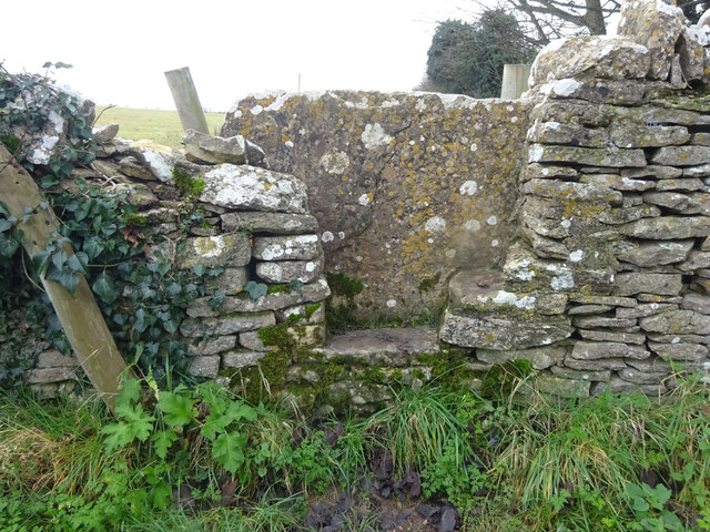
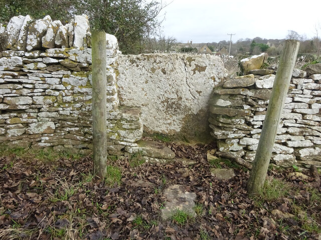
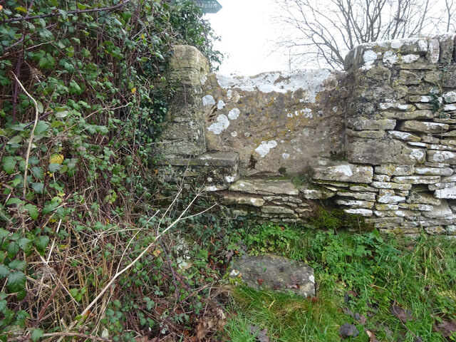
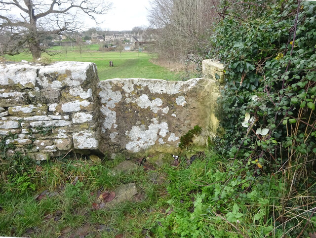
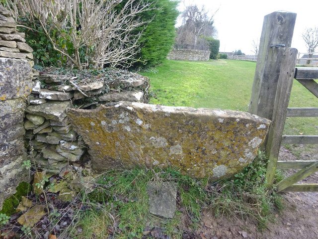
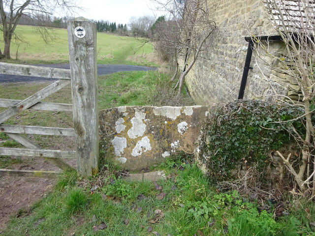
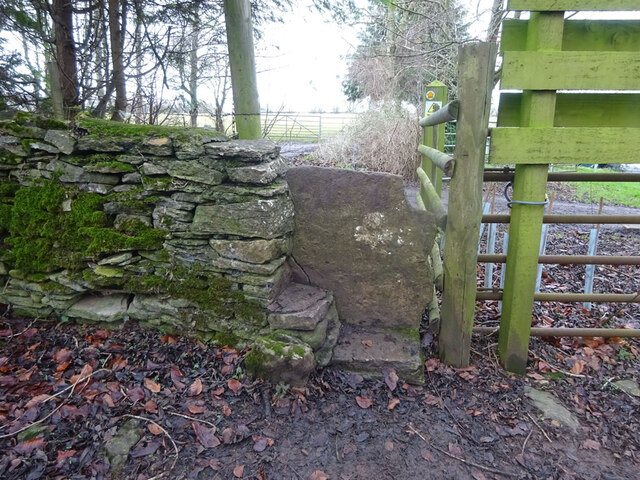
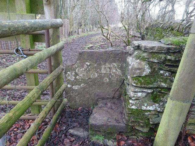
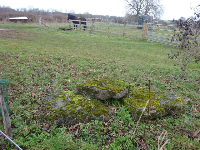
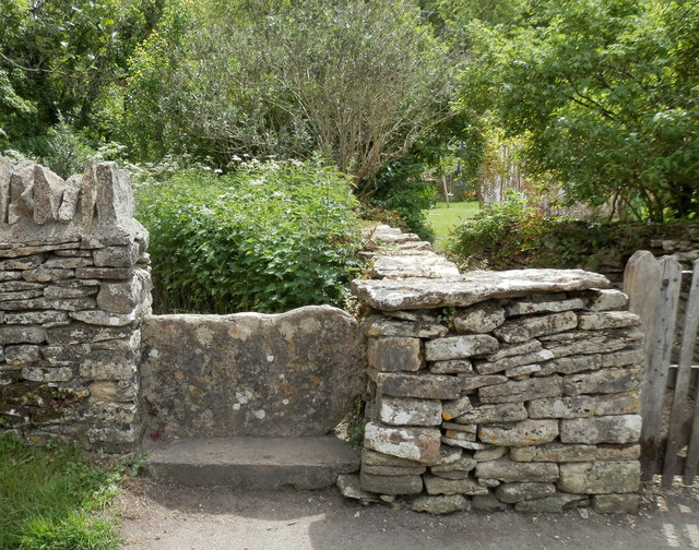
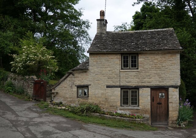
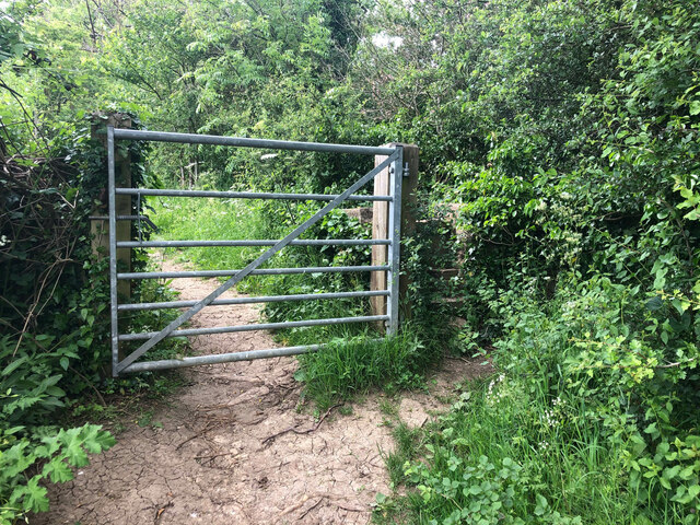
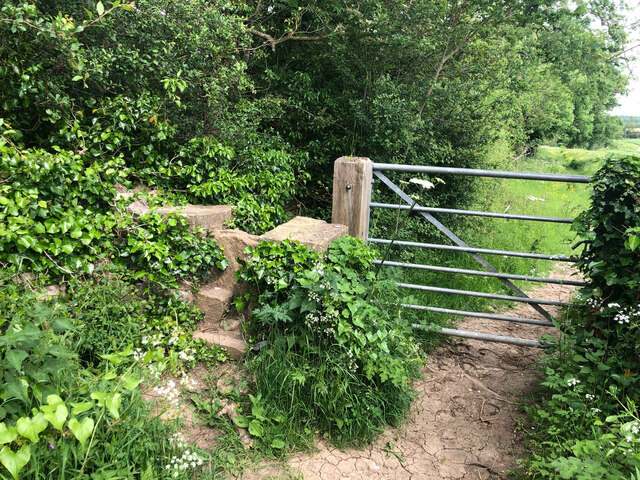
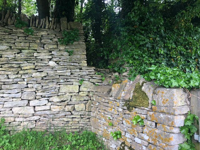
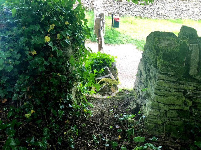
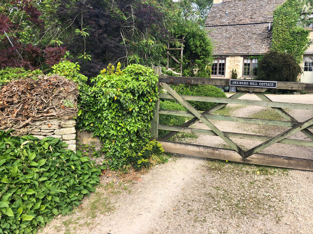
Rawbarrow Camp Images

Images are sourced within 2km of 51.765/-1.848 or Grid Reference SP1007. Thanks to Geograph Open Source API. All images are credited.

Stone Stile, Bibury Actually in Arlington, the South/West side of Bibury. On Gloucestershire footpath KBY16. This view is looking SW from the farm track (KBY13). The view from the field is <a href="https://www.geograph.org.uk/photo/7060080">SP1106 : Stone Stile, Bibury</a>.
Stone Stile, Bibury
Actually in Arlington, the South/West side of Bibury. On Gloucestershire footpath KBY16. This view is looking SW from the farm track (KBY13). The view from the field is SP1106 : Stone Stile, Bibury.
Stone Stile, Bibury Actually in Arlington, the South/West side of Bibury. On Gloucestershire footpath KBY16. This view is looking NE to the farm track (KBY13). The view from the track is <a href="https://www.geograph.org.uk/photo/7060078">SP1106 : Stone Stile, Bibury</a>.
Stone Stile, Bibury
Actually in Arlington, the South/West side of Bibury. On Gloucestershire footpath KBY16. This view is looking NE to the farm track (KBY13). The view from the track is SP1106 : Stone Stile, Bibury.
Stone Stile, Bibury Looking SE on Gloucestershire footpaths KBY16 & KBY11. The other side, footpath KBY15 runs NE towards the famous Arlington Row that Bibury is noted for. The view from that footpath is <a href="https://www.geograph.org.uk/photo/7060088">SP1106 : Stone Stile, Bibury</a>.
Stone Stile, Bibury
Looking SE on Gloucestershire footpaths KBY16 & KBY11. The other side, footpath KBY15 runs NE towards the famous Arlington Row that Bibury is noted for. The view from that footpath is SP1106 : Stone Stile, Bibury.
Stone Stile, Bibury Looking NW to Gloucestershire footpaths KBY16 & KBY11. This side the footpath KBY15 runs NE towards the famous Arlington Row that Bibury is noted for. The view from the fields is <a href="https://www.geograph.org.uk/photo/7060086">SP1106 : Stone Stile, Bibury</a>.
Stone Stile, Bibury
Looking NW to Gloucestershire footpaths KBY16 & KBY11. This side the footpath KBY15 runs NE towards the famous Arlington Row that Bibury is noted for. The view from the fields is SP1106 : Stone Stile, Bibury.
Stone Stile, Bibury In the area known as Arlington Corner, on the Gloucestershire footpath KBY18 looking SE. The view NW is <a href="https://www.geograph.org.uk/photo/7060092">SP1006 : Stone Stile, Bibury</a>. The route has labels naming it "The Palladian Way (an Architectural trail)"
Stone Stile, Bibury
In the area known as Arlington Corner, on the Gloucestershire footpath KBY18 looking SE. The view NW is SP1006 : Stone Stile, Bibury. The route has labels naming it "The Palladian Way (an Architectural trail)"
Stone Stile, Bibury In the area known as Arlington Corner, on the Gloucestershire footpath KBY18 looking NW to fields. The view SE is <a href="https://www.geograph.org.uk/photo/7060090">SP1006 : Stone Stile, Bibury</a>. The route has labels naming it "The Palladian Way (an Architectural trail)"
Stone Stile, Bibury
In the area known as Arlington Corner, on the Gloucestershire footpath KBY18 looking NW to fields. The view SE is SP1006 : Stone Stile, Bibury. The route has labels naming it "The Palladian Way (an Architectural trail)"
Stone Stile, Bibury On Pudding Hill Farm along the Gloucestershire footpath KBY18 looking NW. The view looking SE is <a href="https://www.geograph.org.uk/photo/7060100">SP1006 : Stone Stile, Bibury</a>.
Stone Stile, Bibury
On Pudding Hill Farm along the Gloucestershire footpath KBY18 looking NW. The view looking SE is SP1006 : Stone Stile, Bibury.
Stone Stile, Bibury On Pudding Hill Farm along the Gloucestershire footpath KBY18 looking SE. The view looking NW is <a href="https://www.geograph.org.uk/photo/7060099">SP1006 : Stone Stile, Bibury</a>.
Stone Stile, Bibury
On Pudding Hill Farm along the Gloucestershire footpath KBY18 looking SE. The view looking NW is SP1006 : Stone Stile, Bibury.
Stone Stile, Bibury Fallen idles. The one in the foreground is about 1m from the current route of Gloucestershire footpath KBY18 and a wooden stile. The pile due North near the horse are similarly close to a farm track. At least one of these groups was probably the remains of a stone stile. An old farm house called Upper Severalls is to the NW, Ablington further NNW. The field beyond the hedges is the site of Rowberrow Camp, a series of ditches surrounding several small tumps.
Stone Stile, Bibury
Fallen idles. The one in the foreground is about 1m from the current route of Gloucestershire footpath KBY18 and a wooden stile. The pile due North near the horse are similarly close to a farm track. At least one of these groups was probably the remains of a stone stile. An old farm house called Upper Severalls is to the NW, Ablington further NNW. The field beyond the hedges is the site of Rowberrow Camp, a series of ditches surrounding several small tumps.
Stone Stile, Bibury GS2404 Off Awkward Hill (aka Arlington Row, i.e. the houses) on Gloucestershire footpath KBY10 looking South.
Stone Stile, Bibury GS2404
Off Awkward Hill (aka Arlington Row, i.e. the houses) on Gloucestershire footpath KBY10 looking South.
Cottage on Awkward Hill, Bibury
Stone Stile, Bibury On Gloucestershire footpath KBY13, South of Bibury Cricket Ground. Looking NW, the view East is <a href="https://www.geograph.org.uk/photo/7317324">SP1106 : Stone Stile, Bibury</a>.
Stone Stile, Bibury
On Gloucestershire footpath KBY13, South of Bibury Cricket Ground. Looking NW, the view East is SP1106 : Stone Stile, Bibury.
Stone Stile, Bibury On Gloucestershire footpath KBY13, South of Bibury Cricket Ground. Looking East, the view NW is <a href="https://www.geograph.org.uk/photo/7317323">SP1106 : Stone Stile, Bibury</a>.
Stone Stile, Bibury
On Gloucestershire footpath KBY13, South of Bibury Cricket Ground. Looking East, the view NW is SP1106 : Stone Stile, Bibury.
Stone Stile, Bibury A private step stile off Gloucestershire bridleway KBY8 near Bibury Farm and Court Farm. Looking West, the view East from the stile is <a href="https://www.geograph.org.uk/photo/7317347">SP1206 : Stone Stile, Bibury</a>.
Stone Stile, Bibury
A private step stile off Gloucestershire bridleway KBY8 near Bibury Farm and Court Farm. Looking West, the view East from the stile is SP1206 : Stone Stile, Bibury.
Stone Stile, Bibury A private step stile off Gloucestershire bridleway KBY8 near Bibury Farm and Court Farm. Looking East from the stile, the view West is <a href="https://www.geograph.org.uk/photo/7317346">SP1206 : Stone Stile, Bibury</a>.
Stone Stile, Bibury
A private step stile off Gloucestershire bridleway KBY8 near Bibury Farm and Court Farm. Looking East from the stile, the view West is SP1206 : Stone Stile, Bibury.
Stone Stile, Bibury A private stile to Awkward Hill Cottage. Near the famed "Arlington Row", and at the junction of Awkward Hill and Hawkers Hill.
Stone Stile, Bibury
A private stile to Awkward Hill Cottage. Near the famed "Arlington Row", and at the junction of Awkward Hill and Hawkers Hill.
Go Wild & Co in Bibury
Village road to Arlington Baptist Church
Show me another place!

Rawbarrow Camp is located at Grid Ref: SP1007 (Lat: 51.765, Lng: -1.848)

Administrative County: Gloucestershire

District: Cotswold

Police Authority: Gloucestershire

What 3 Words

///galloping.flattered.smirks. Near Northleach, Gloucestershire

Related Wikis

Nearby Amenities

Located within 500m of 51.765,-1.848
Ablington
Place: village
Wikidata: Q4668097
Wikipedia: en:Ablington, Gloucestershire
Lat/Long: 51.767562/-1.8500588
Bus Stop
Manor Farm
Bus: yes
Naptan AtcoCode: 1600GL31
Naptan Bearing: NE
Naptan CommonName: Manor Farm
Naptan Indicator: Opp
Naptan NaptanCode: glogdgpw
Naptan Street: Main Street
Naptan Verified: no
Public Transport: platform
Source: naptan_import
Lat/Long: 51.7673594/-1.8498679
Bus Stop
Manor Farm
Bus: yes
Naptan AtcoCode: 1600GL32
Naptan Bearing: SW
Naptan CommonName: Manor Farm
Naptan NaptanCode: glogdgta
Naptan Street: Main Street
Naptan Verified: no
Public Transport: platform
Shelter: yes
Source: naptan_import
Lat/Long: 51.7672876/-1.8499406
Bus Stop
Ablington House
Bus: yes
Naptan AtcoCode: 1600GLC057
Naptan Bearing: SE
Naptan CommonName: Ablington House
Naptan NaptanCode: glogdgtp
Naptan Street: Bibury Rd
Naptan Verified: no
Public Transport: platform
Source: naptan_import
Lat/Long: 51.767876/-1.8460549
Bus Stop
Ablington House
Bus: yes
Naptan AtcoCode: 1600GLC058
Naptan Bearing: NW
Naptan CommonName: Ablington House
Naptan Indicator: Opp
Naptan NaptanCode: glogdgtw
Naptan Street: Bibury Rd
Naptan Verified: no
Public Transport: platform
Source: naptan_import
Lat/Long: 51.7677949/-1.8459248
Barrier: stile
Lat/Long: 51.7615086/-1.8452282
Barrier: kissing_gate
Lat/Long: 51.761658/-1.8454714
Barrier: kissing_gate
Lat/Long: 51.7627696/-1.8472127
Barrier: stile
Lat/Long: 51.762837/-1.8472947
Barrier: stile
Lat/Long: 51.7637003/-1.848532
Clock
Display: sundial
Heritage: yes
Wikidata: Q26380750
Lat/Long: 51.7668693/-1.8513726
Telephone
Booth: K6
Covered: booth
Heritage: yes
Listed Status: Grade II
Operator: BT
Operator Wikidata: Q593786
Phone: +44 1285 740307
Wikidata: Q26381590
Lat/Long: 51.7672701/-1.8500161
Post Box
Post Box Type: wall
Lat/Long: 51.7673717/-1.8499176
Public Bookcase
Location: inside bus shelter
Public Bookcase Type: shelf
Lat/Long: 51.7672762/-1.849948
The data included in this document is from www.openstreetmap.org. The data is made available under ODbL.

Have you been to Rawbarrow Camp?

Leave your review of Rawbarrow Camp below (or comments, questions and feedback).