The Clumps

Wood, Forest in Gloucestershire Cotswold

England

The Clumps

Stone Stile, Bibury Actually in Arlington, the South/West side of Bibury. On Gloucestershire footpath KBY16. This view is looking SW from the farm track (KBY13). The view from the field is <a href="https://www.geograph.org.uk/photo/7060080">SP1106 : Stone Stile, Bibury</a>.
Stone Stile, Bibury Credit: Mr Red

The Clumps, located in Gloucestershire, is a picturesque woodland area known for its natural beauty and abundant wildlife. Situated in the Forest of Dean, this wooded landscape is a popular destination for nature enthusiasts and outdoor adventurers alike.

The Clumps gets its name from the two distinctive hills that dominate the area, known as "The Sling" and "The Yat." These hills provide stunning panoramic views of the surrounding countryside, making them a favorite spot for hikers and photographers. The woodland itself is a mix of oak, beech, and conifer trees, creating a diverse and vibrant ecosystem.

Visitors to The Clumps can expect to encounter a variety of wildlife, including deer, foxes, and numerous bird species. The area is particularly renowned for its population of nightingales, whose melodic songs can be heard during the spring and summer months.

In addition to its natural beauty, The Clumps also holds historical significance. The forest has a rich mining heritage, with evidence of iron ore extraction dating back to the Roman times. Ruins of old mine buildings can still be found scattered throughout the woods, adding an extra layer of intrigue to the area.

Whether you're looking to immerse yourself in nature, capture breathtaking views, or explore the region's history, The Clumps in Gloucestershire offers a peaceful and enchanting experience for all who visit.

If you have any feedback on the listing, please let us know in the comments section below.
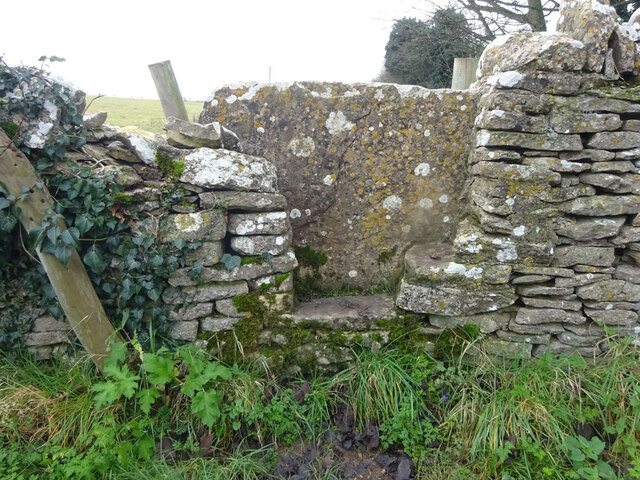
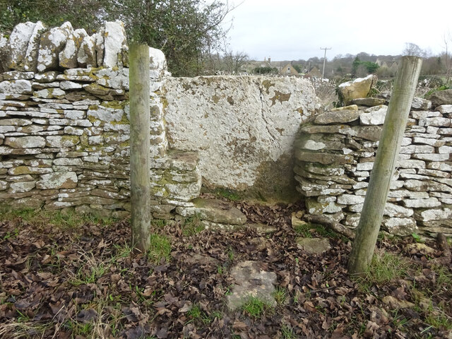
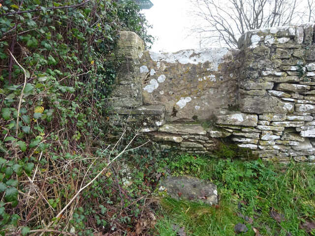
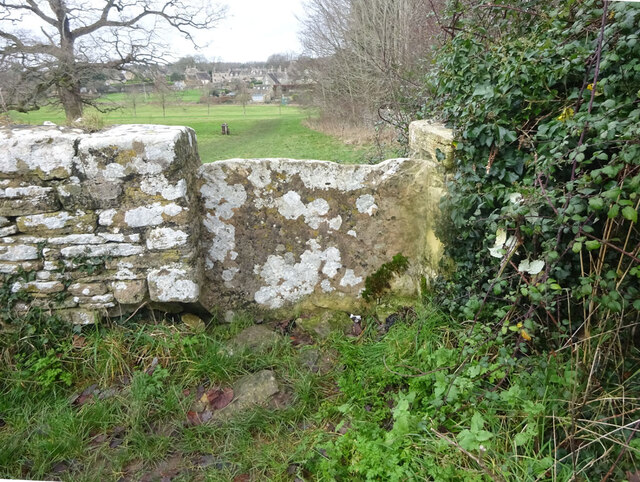
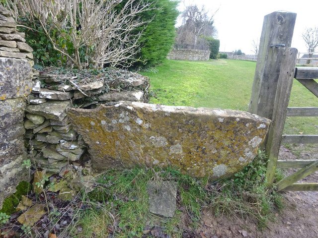
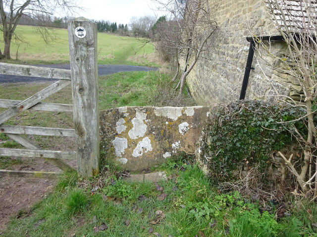
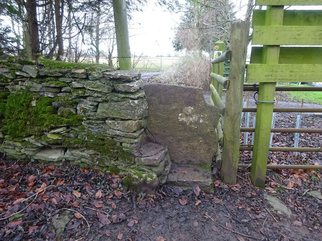
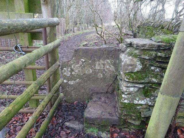
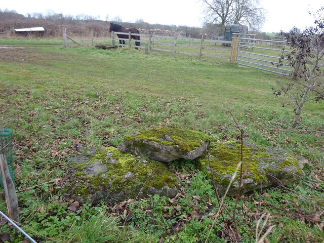
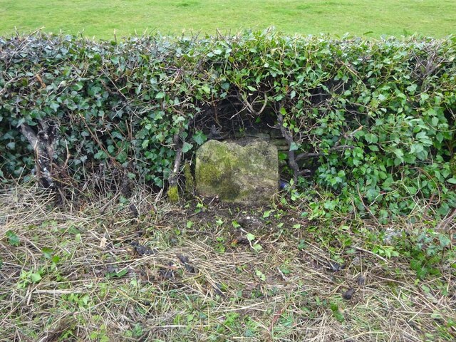
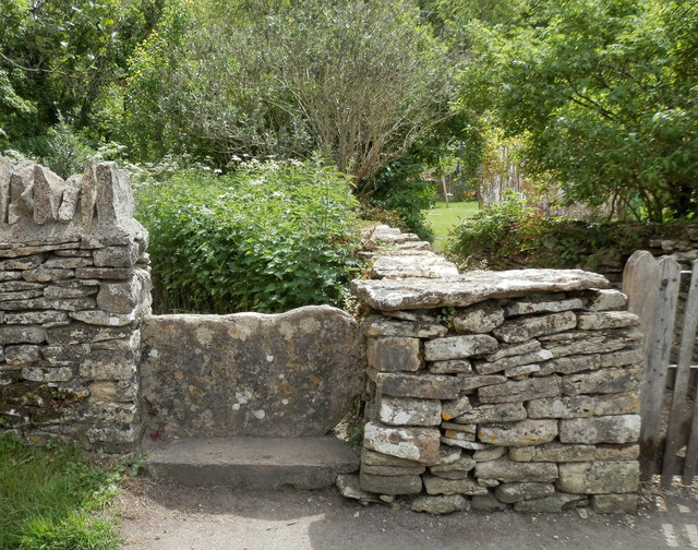
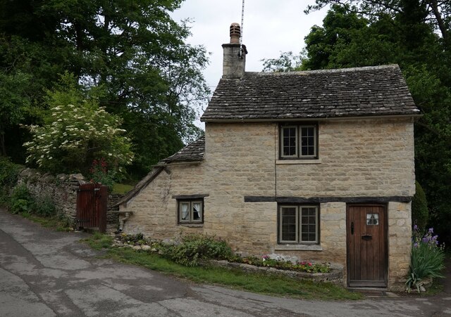
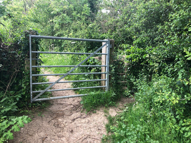
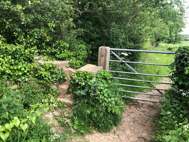
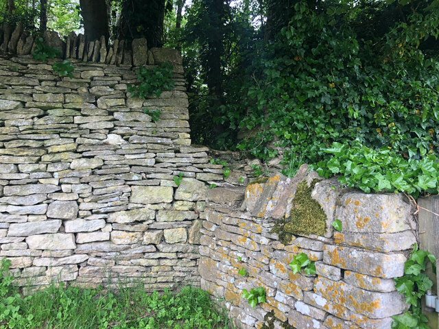
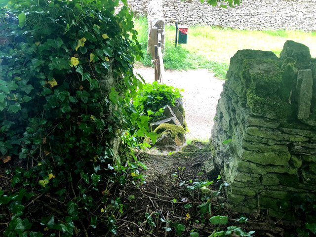
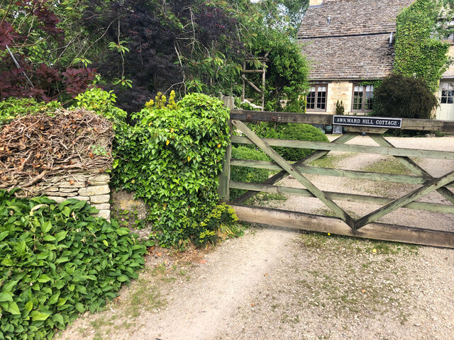
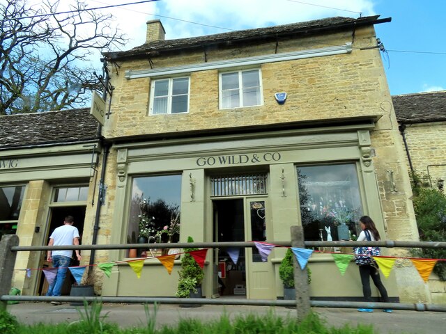
The Clumps Images

Images are sourced within 2km of 51.768673/-1.842937 or Grid Reference SP1007. Thanks to Geograph Open Source API. All images are credited.

Stone Stile, Bibury Actually in Arlington, the South/West side of Bibury. On Gloucestershire footpath KBY16. This view is looking SW from the farm track (KBY13). The view from the field is <a href="https://www.geograph.org.uk/photo/7060080">SP1106 : Stone Stile, Bibury</a>.
Stone Stile, Bibury
Actually in Arlington, the South/West side of Bibury. On Gloucestershire footpath KBY16. This view is looking SW from the farm track (KBY13). The view from the field is SP1106 : Stone Stile, Bibury.
Stone Stile, Bibury Actually in Arlington, the South/West side of Bibury. On Gloucestershire footpath KBY16. This view is looking NE to the farm track (KBY13). The view from the track is <a href="https://www.geograph.org.uk/photo/7060078">SP1106 : Stone Stile, Bibury</a>.
Stone Stile, Bibury
Actually in Arlington, the South/West side of Bibury. On Gloucestershire footpath KBY16. This view is looking NE to the farm track (KBY13). The view from the track is SP1106 : Stone Stile, Bibury.
Stone Stile, Bibury Looking SE on Gloucestershire footpaths KBY16 & KBY11. The other side, footpath KBY15 runs NE towards the famous Arlington Row that Bibury is noted for. The view from that footpath is <a href="https://www.geograph.org.uk/photo/7060088">SP1106 : Stone Stile, Bibury</a>.
Stone Stile, Bibury
Looking SE on Gloucestershire footpaths KBY16 & KBY11. The other side, footpath KBY15 runs NE towards the famous Arlington Row that Bibury is noted for. The view from that footpath is SP1106 : Stone Stile, Bibury.
Stone Stile, Bibury Looking NW to Gloucestershire footpaths KBY16 & KBY11. This side the footpath KBY15 runs NE towards the famous Arlington Row that Bibury is noted for. The view from the fields is <a href="https://www.geograph.org.uk/photo/7060086">SP1106 : Stone Stile, Bibury</a>.
Stone Stile, Bibury
Looking NW to Gloucestershire footpaths KBY16 & KBY11. This side the footpath KBY15 runs NE towards the famous Arlington Row that Bibury is noted for. The view from the fields is SP1106 : Stone Stile, Bibury.
Stone Stile, Bibury In the area known as Arlington Corner, on the Gloucestershire footpath KBY18 looking SE. The view NW is <a href="https://www.geograph.org.uk/photo/7060092">SP1006 : Stone Stile, Bibury</a>. The route has labels naming it "The Palladian Way (an Architectural trail)"
Stone Stile, Bibury
In the area known as Arlington Corner, on the Gloucestershire footpath KBY18 looking SE. The view NW is SP1006 : Stone Stile, Bibury. The route has labels naming it "The Palladian Way (an Architectural trail)"
Stone Stile, Bibury In the area known as Arlington Corner, on the Gloucestershire footpath KBY18 looking NW to fields. The view SE is <a href="https://www.geograph.org.uk/photo/7060090">SP1006 : Stone Stile, Bibury</a>. The route has labels naming it "The Palladian Way (an Architectural trail)"
Stone Stile, Bibury
In the area known as Arlington Corner, on the Gloucestershire footpath KBY18 looking NW to fields. The view SE is SP1006 : Stone Stile, Bibury. The route has labels naming it "The Palladian Way (an Architectural trail)"
Stone Stile, Bibury On Pudding Hill Farm along the Gloucestershire footpath KBY18 looking NW. The view looking SE is <a href="https://www.geograph.org.uk/photo/7060100">SP1006 : Stone Stile, Bibury</a>.
Stone Stile, Bibury
On Pudding Hill Farm along the Gloucestershire footpath KBY18 looking NW. The view looking SE is SP1006 : Stone Stile, Bibury.
Stone Stile, Bibury On Pudding Hill Farm along the Gloucestershire footpath KBY18 looking SE. The view looking NW is <a href="https://www.geograph.org.uk/photo/7060099">SP1006 : Stone Stile, Bibury</a>.
Stone Stile, Bibury
On Pudding Hill Farm along the Gloucestershire footpath KBY18 looking SE. The view looking NW is SP1006 : Stone Stile, Bibury.
Stone Stile, Bibury Fallen idles. The one in the foreground is about 1m from the current route of Gloucestershire footpath KBY18 and a wooden stile. The pile due North near the horse are similarly close to a farm track. At least one of these groups was probably the remains of a stone stile. An old farm house called Upper Severalls is to the NW, Ablington further NNW. The field beyond the hedges is the site of Rowberrow Camp, a series of ditches surrounding several small tumps.
Stone Stile, Bibury
Fallen idles. The one in the foreground is about 1m from the current route of Gloucestershire footpath KBY18 and a wooden stile. The pile due North near the horse are similarly close to a farm track. At least one of these groups was probably the remains of a stone stile. An old farm house called Upper Severalls is to the NW, Ablington further NNW. The field beyond the hedges is the site of Rowberrow Camp, a series of ditches surrounding several small tumps.
Old Milestone, near Bibury About ½ a mile NE of the village. Carved stone post by the B4425, in the parish of BIBURY (COTSWOLD District), NE of Bibury Farm, by the road. Bibury marker, erected by the Bibury & Dancy's Fancy turnpike trust in the 19th century.

Inscription once read: Cirencester 8 / Burford 9

Milestone Society National ID: GL_CIBF08
Old Milestone, near Bibury
About ½ a mile NE of the village. Carved stone post by the B4425, in the parish of BIBURY (COTSWOLD District), NE of Bibury Farm, by the road. Bibury marker, erected by the Bibury & Dancy's Fancy turnpike trust in the 19th century. Inscription once read: Cirencester 8 / Burford 9 Milestone Society National ID: GL_CIBF08
Stone Stile, Bibury GS2404 Off Awkward Hill (aka Arlington Row, i.e. the houses) on Gloucestershire footpath KBY10 looking South.
Stone Stile, Bibury GS2404
Off Awkward Hill (aka Arlington Row, i.e. the houses) on Gloucestershire footpath KBY10 looking South.
Cottage on Awkward Hill, Bibury
Stone Stile, Bibury On Gloucestershire footpath KBY13, South of Bibury Cricket Ground. Looking NW, the view East is <a href="https://www.geograph.org.uk/photo/7317324">SP1106 : Stone Stile, Bibury</a>.
Stone Stile, Bibury
On Gloucestershire footpath KBY13, South of Bibury Cricket Ground. Looking NW, the view East is SP1106 : Stone Stile, Bibury.
Stone Stile, Bibury On Gloucestershire footpath KBY13, South of Bibury Cricket Ground. Looking East, the view NW is <a href="https://www.geograph.org.uk/photo/7317323">SP1106 : Stone Stile, Bibury</a>.
Stone Stile, Bibury
On Gloucestershire footpath KBY13, South of Bibury Cricket Ground. Looking East, the view NW is SP1106 : Stone Stile, Bibury.
Stone Stile, Bibury A private step stile off Gloucestershire bridleway KBY8 near Bibury Farm and Court Farm. Looking West, the view East from the stile is <a href="https://www.geograph.org.uk/photo/7317347">SP1206 : Stone Stile, Bibury</a>.
Stone Stile, Bibury
A private step stile off Gloucestershire bridleway KBY8 near Bibury Farm and Court Farm. Looking West, the view East from the stile is SP1206 : Stone Stile, Bibury.
Stone Stile, Bibury A private step stile off Gloucestershire bridleway KBY8 near Bibury Farm and Court Farm. Looking East from the stile, the view West is <a href="https://www.geograph.org.uk/photo/7317346">SP1206 : Stone Stile, Bibury</a>.
Stone Stile, Bibury
A private step stile off Gloucestershire bridleway KBY8 near Bibury Farm and Court Farm. Looking East from the stile, the view West is SP1206 : Stone Stile, Bibury.
Stone Stile, Bibury A private stile to Awkward Hill Cottage. Near the famed "Arlington Row", and at the junction of Awkward Hill and Hawkers Hill.
Stone Stile, Bibury
A private stile to Awkward Hill Cottage. Near the famed "Arlington Row", and at the junction of Awkward Hill and Hawkers Hill.
Go Wild & Co in Bibury
Show me another place!

The Clumps is located at Grid Ref: SP1007 (Lat: 51.768673, Lng: -1.842937)

Administrative County: Gloucestershire

District: Cotswold

Police Authority: Gloucestershire

What 3 Words

///highs.doormat.tidal. Near Northleach, Gloucestershire

Related Wikis

Nearby Amenities

Located within 500m of 51.768673,-1.842937
Bus Stop
Manor Farm
Bus: yes
Naptan AtcoCode: 1600GL31
Naptan Bearing: NE
Naptan CommonName: Manor Farm
Naptan Indicator: Opp
Naptan NaptanCode: glogdgpw
Naptan Street: Main Street
Naptan Verified: no
Public Transport: platform
Source: naptan_import
Lat/Long: 51.7673594/-1.8498679
Bus Stop
Ablington House
Bus: yes
Naptan AtcoCode: 1600GLC057
Naptan Bearing: SE
Naptan CommonName: Ablington House
Naptan NaptanCode: glogdgtp
Naptan Street: Bibury Rd
Naptan Verified: no
Public Transport: platform
Source: naptan_import
Lat/Long: 51.767876/-1.8460549
Bus Stop
Ablington House
Bus: yes
Naptan AtcoCode: 1600GLC058
Naptan Bearing: NW
Naptan CommonName: Ablington House
Naptan Indicator: Opp
Naptan NaptanCode: glogdgtw
Naptan Street: Bibury Rd
Naptan Verified: no
Public Transport: platform
Source: naptan_import
Lat/Long: 51.7677949/-1.8459248
The data included in this document is from www.openstreetmap.org. The data is made available under ODbL.

Have you been to The Clumps?

Leave your review of The Clumps below (or comments, questions and feedback).