Queens Court Fm

Heritage Site in Kent Swale

England

Queens Court Fm

Cottages, Painter's Forstal On Hanslett's Lane.
Cottages, Painter's Forstal Credit: pam fray

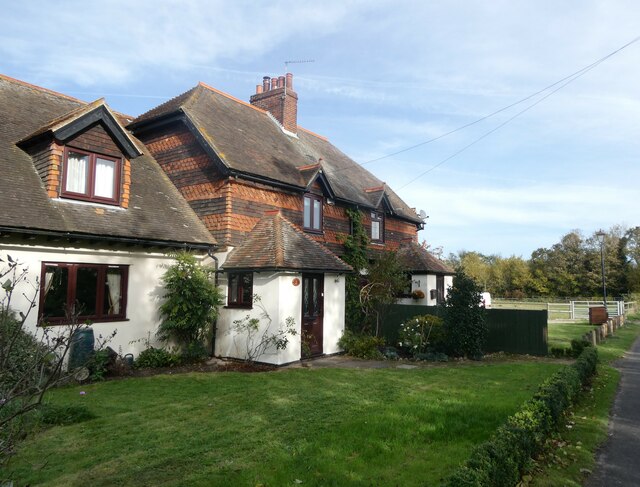
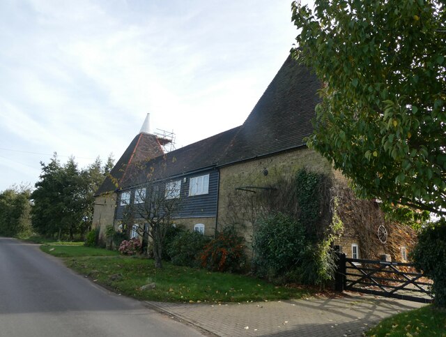
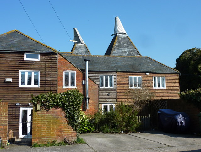
Queens Court Fm, Kent is a historic heritage site located in the county of Kent, England. Situated in a picturesque countryside setting, the site is renowned for its rich historical significance and well-preserved architectural features.

Originally built in the 16th century, Queens Court Fm is a fine example of Tudor architecture. The main building is constructed from red brick and timber framing, showcasing the traditional style of the era. The intricate detailing on the façade, including ornate carvings and decorative motifs, adds to the overall charm and character of the site.

The interior of Queens Court Fm boasts a combination of original period features and modern amenities. Visitors can explore the various rooms, which have been tastefully restored to reflect the grandeur and elegance of the Tudor period. The oak beams, exposed brickwork, and original fireplaces provide a glimpse into the past, while the addition of modern furnishings ensures comfort and convenience.

The surrounding grounds of Queens Court Fm are equally impressive. Lush gardens and manicured lawns create a serene and tranquil atmosphere, perfect for leisurely strolls or picnics. The site also features a charming courtyard, where visitors can relax and enjoy the peaceful surroundings.

In addition to its architectural significance, Queens Court Fm has a fascinating historical background. It has been associated with various notable figures throughout its existence, including visits from royalty. The site has been meticulously preserved and is now open to the public, offering a captivating glimpse into the past and providing a unique experience for history enthusiasts and visitors alike.

If you have any feedback on the listing, please let us know in the comments section below.

Queens Court Fm Images

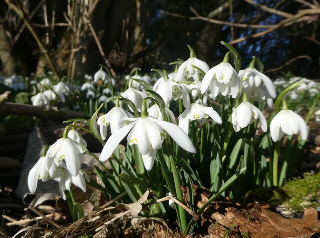
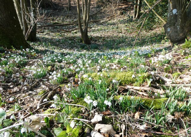
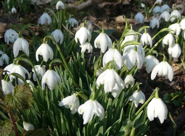
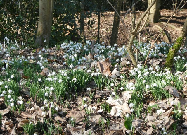
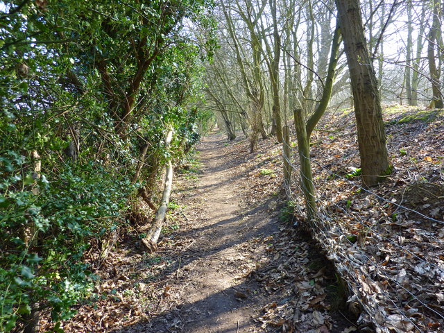
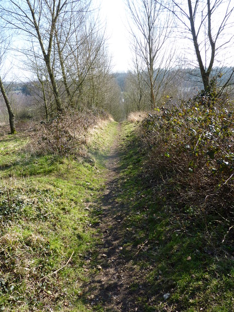
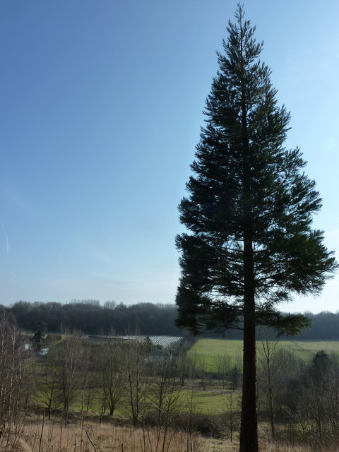
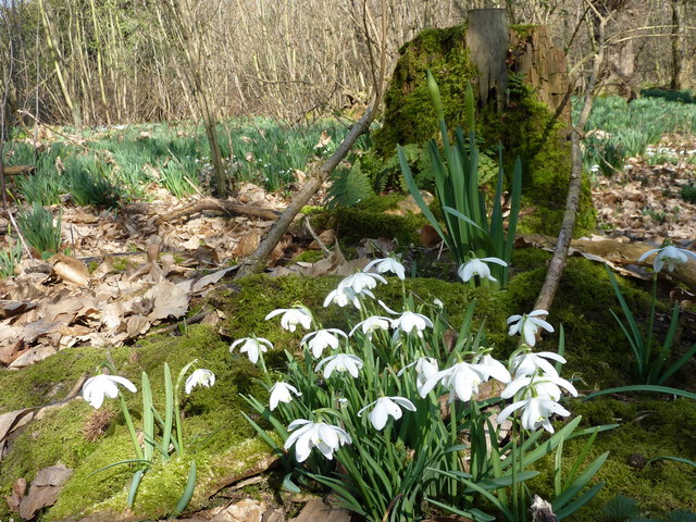
Images are sourced within 2km of 51.308/0.877 or Grid Reference TR0060. Thanks to Geograph Open Source API. All images are credited.

Cottages, Painter's Forstal On Hanslett's Lane.
Cottages, Painter's Forstal
On Hanslett's Lane.
Oast houses, Hanslett's Lane, Painters Forstal Converted into two dwellings, named Broom Hill Oast and Brownings Oast.
Oast houses, Hanslett's Lane, Painters Forstal
Converted into two dwellings, named Broom Hill Oast and Brownings Oast.
Plumford meadow, Painters Forstal Thousands of cowslips in this wildflower meadow.
Plumford meadow, Painters Forstal
Thousands of cowslips in this wildflower meadow.
Plumford Meadow, Painters Forstal Thousands of cowslips in this wildflower meadow.
Plumford Meadow, Painters Forstal
Thousands of cowslips in this wildflower meadow.
Snowdrops on Lorenden Park Nature Reserve, Painters Forstal The woodland area is covered in countless little white flowers at this time of year.
Snowdrops on Lorenden Park Nature Reserve, Painters Forstal
The woodland area is covered in countless little white flowers at this time of year.
Snowdrops in Lorenden Park Nature Reserve, Painters Forstal The woodland area is covered in countless little white flowers at this time of year.
Snowdrops in Lorenden Park Nature Reserve, Painters Forstal
The woodland area is covered in countless little white flowers at this time of year.
Snowdrops in Lorenden ParkNature Reserve, Painters Forstal The woodland area is covered in countless little white flowers at this time of year.
Snowdrops in Lorenden ParkNature Reserve, Painters Forstal
The woodland area is covered in countless little white flowers at this time of year.
Snowdrops in Lorenden Park Nature Reserve, Painters Forstal The woodland area is covered in countless little white flowers at this time of year.
Snowdrops in Lorenden Park Nature Reserve, Painters Forstal
The woodland area is covered in countless little white flowers at this time of year.
Moss in Lorenden Park Nature Reserve, Painters Forstal Mosses are part of a group of plants known as bryophytes. There are over 20,000 species of bryophyte on earth, with over 1,000 found in the UK. I think this one is called ordinary moss, or Brachythecium rutabulum to give it its Latin name. One of the most common UK mosses.
Moss in Lorenden Park Nature Reserve, Painters Forstal
Mosses are part of a group of plants known as bryophytes. There are over 20,000 species of bryophyte on earth, with over 1,000 found in the UK. I think this one is called ordinary moss, or Brachythecium rutabulum to give it its Latin name. One of the most common UK mosses.
Lorenden Park Nature Reserve, Painters Forstal Moss covering the exposed roots of one of the trees.
Lorenden Park Nature Reserve, Painters Forstal
Moss covering the exposed roots of one of the trees.
M2: footbridge south of Coxett Wood The M2 runs for 26 miles between Strood and Faversham. It was constructed between 1963 and 1965. 
Read more at wikipedia <span class="nowrap"><a title="http://en.wikipedia.org/wiki/M2_motorway_(Great_Britain)" rel="nofollow ugc noopener" href="http://en.wikipedia.org/wiki/M2_motorway_(Great_Britain)">Link</a><img style="margin-left:2px;" alt="External link" title="External link - shift click to open in new window" src="https://s1.geograph.org.uk/img/external.png" width="10" height="10"/></span>
M2: footbridge south of Coxett Wood
The M2 runs for 26 miles between Strood and Faversham. It was constructed between 1963 and 1965. Read more at wikipedia LinkExternal link
M2: Painter's Forstal Road Overbridge The M2 runs for 26 miles between Strood and Faversham. It was constructed between 1963 and 1965. 
Read more at wikipedia <span class="nowrap"><a title="http://en.wikipedia.org/wiki/M2_motorway_(Great_Britain)" rel="nofollow ugc noopener" href="http://en.wikipedia.org/wiki/M2_motorway_(Great_Britain)">Link</a><img style="margin-left:2px;" alt="External link" title="External link - shift click to open in new window" src="https://s1.geograph.org.uk/img/external.png" width="10" height="10"/></span>
M2: Painter's Forstal Road Overbridge
The M2 runs for 26 miles between Strood and Faversham. It was constructed between 1963 and 1965. Read more at wikipedia LinkExternal link
Dwellings on Painters Forstal Road Converted oast house at Painters Forstal.
Dwellings on Painters Forstal Road
Converted oast house at Painters Forstal.
Footpath to Lorenden Park, Painters Forstal Leading from Painters Forstal Road with Lorenden School grounds to the right.
Footpath to Lorenden Park, Painters Forstal
Leading from Painters Forstal Road with Lorenden School grounds to the right.
Footpath in Lorenden Park, Painters Forstal Leading to Eastling Road.
Footpath in Lorenden Park, Painters Forstal
Leading to Eastling Road.
View from a footpath in Lorenden Park, Painters Forstal Looking towards Eastling Road, Whitehill.
View from a footpath in Lorenden Park, Painters Forstal
Looking towards Eastling Road, Whitehill.
Snowdrops on a mossy tree root in Lorenden Park Next to one of the footpaths. There are countless snowdrops growing in the woodland.
Snowdrops on a mossy tree root in Lorenden Park
Next to one of the footpaths. There are countless snowdrops growing in the woodland.
A mossy fallen tree in Lorenden Park One of many in the woodland by the footpath.
A mossy fallen tree in Lorenden Park
One of many in the woodland by the footpath.
Show me another place!

Queens Court Fm is located at Grid Ref: TR0060 (Lat: 51.308, Lng: 0.877)

Administrative County: Kent

District: Swale

Police Authority: Kent

What 3 Words

///slipped.sparkle.radiating. Near Faversham, Kent

Nearby Locations

Ospringe Queens Court Fm

Related Wikis

Mount Field (cricket ground)

Mount Field was a cricket ground located at Ospringe on the south-western edge of Faversham in the English county of Kent. It was associated with The Mount...

Ospringe

Ospringe is a village and area of Faversham in the English county of Kent. It is also the name of a civil parish, which since 1935 has not included the...

Maison Dieu, Faversham

Maison Dieu ('House of God') is a hospital, monastery, hostel, retirement home and royal lodge commissioned by Henry III in 1234. The timber framed building...

The Abbey School, Faversham

The Abbey School is a non-selective secondary school in the town of Faversham in Kent, United Kingdom. Founded with the amalgamation of Ethelbert Road...

Nearby Amenities

Located within 500m of 51.308,0.877
Ospringe
Place: village
Source: npe
Lat/Long: 51.3113235/0.8727918
Perry Court Farm
Place: farm
Shop: farm
Source: npe
Lat/Long: 51.3064965/0.8831421
Post Box
Collection Plate: CP7D
Collection Times: Mo-Fr 09:00; Sa 07:00
Old Ref: ME13 35
Operator: Royal Mail
Operator Wikidata: Q638098
Post Box Mounting: pier
Post Box Type: lamp
Postal Code: ME13
Ref: ME13 35D
Source: survey
Survey Date: 2023-10-09
Lat/Long: 51.3110118/0.88071
Pub
The Ship Inn
Wikidata: Q26627638
Lat/Long: 51.3116061/0.8743053
Crossing
Button Operated: yes
Crossing: traffic_signals
Crossing Island: no
Crossing Markings: yes
Crossing Signals: yes
Crossing Ref: pelican
Tactile Paving: yes
Traffic Signals Sound: yes
Traffic Signals Vibration: yes
Lat/Long: 51.3115394/0.8739881
Post Box
Collection Plate: CP7D
Collection Times: Mo-Fr 09:00; Sa 07:00
Old Ref: ME13 40
Operator: Royal Mail
Operator Wikidata: Q638098
Post Box Mounting: building
Post Box Type: wall
Ref: ME13 40D
Royal Cypher: EIIR
Royal Cypher Wikidata: Q33102113
Source: survey
Survey Date: 2023-11-24
Lat/Long: 51.311603/0.873291
Bus Stop
Brogdale Road
Bus: yes
Local Ref: adj
Naptan AtcoCode: 2400A038490A
Naptan Bearing: W
Naptan BusStopType: MKD
Naptan CommonName: Brogdale Road
Naptan Indicator: adj
Naptan Landmark: Brogdale Road
Naptan NaptanCode: kntdpgmj
Naptan RevisionNumber: 4
Naptan Status: act
Naptan Street: London Road
Naptan Verified: no
Public Transport: platform
Ref: kntdpgmj
Seats: yes
Shelter: yes
Source: naptan_import
Source Date: 2018-03-02
Source 1: survey
Lat/Long: 51.3098232/0.8820001
Bus Stop
Brogdale Road
Local Ref: opp
Naptan AtcoCode: 2400A038500A
Naptan Bearing: E
Naptan BusStopType: MKD
Naptan CommonName: Brogdale Road
Naptan Indicator: opp
Naptan Landmark: Brogdale Road
Naptan NaptanCode: kntdpgmp
Naptan RevisionNumber: 5
Naptan Status: act
Naptan Street: London Road
Naptan Verified: no
Public Transport: platform
Ref: kntdpgmp
Source: naptan_import
Source Date: 2018-03-02
Lat/Long: 51.3099776/0.881938
Stop
Direction: backward
Lat/Long: 51.3115016/0.8743603
Communication Mobile Phone: yes
Man Made: mast
Tower Type: communication
Lat/Long: 51.3057676/0.8735735
Generator Method: photovoltaic
Generator Output Electricity: yes
Generator Source: solar
Generator Type: solar_photovoltaic_panel
Location: roof
Power: generator
Lat/Long: 51.309549/0.8774927
Generator Method: photovoltaic
Generator Output Electricity: yes
Generator Source: solar
Generator Type: solar_photovoltaic_panel
Location: roof
Power: generator
Lat/Long: 51.3103772/0.8822577
Generator Method: photovoltaic
Generator Output Electricity: yes
Generator Source: solar
Generator Type: solar_photovoltaic_panel
Location: roof
Power: generator
Lat/Long: 51.3103169/0.8815348
Speed Camera
Direction: 110
Maxspeed: 30 mph
Lat/Long: 51.3107908/0.87786
Give Way
Direction: forward
Lat/Long: 51.3098739/0.8823768
Give Way
Direction: forward
Lat/Long: 51.3100391/0.881177
Give Way
Direction: forward
Lat/Long: 51.3102355/0.880532
Give Way
Direction: backward
Lat/Long: 51.3104897/0.8789073
Give Way
Direction: backward
Lat/Long: 51.3115671/0.8736364
Give Way
Direction: forward
Lat/Long: 51.305462/0.8802207
Crossing
Crossing: unmarked
Tactile Paving: yes
Lat/Long: 51.3068117/0.880569
Hazard: dip
Lat/Long: 51.3056667/0.8740537
Give Way
Direction: backward
Lat/Long: 51.3085703/0.880611
Orchard Green
Place: suburb
Lat/Long: 51.3080143/0.8791639
Crossing
Crossing: unmarked
Crossing Island: no
Crossing Markings: no
Tactile Paving: yes
Lat/Long: 51.305776/0.8815025
Barrier: cycle_barrier
Foot: yes
Lat/Long: 51.3068028/0.8806043
Waste Basket
Lat/Long: 51.3123974/0.8762613
Barrier: kissing_gate
Lat/Long: 51.3073421/0.8714272
Waste Basket
Colour: black
Covered: no
Source: survey
Survey Date: 2024-02-25
Lat/Long: 51.3097789/0.8809561
Waste Basket
Colour: black
Covered: yes
Source: survey
Survey Date: 2024-02-25
Lat/Long: 51.3098205/0.8821106
Bench
Backrest: yes
Colour: brown
Source: survey
Survey Date: 2024-02-25
Lat/Long: 51.3098735/0.880993
The data included in this document is from www.openstreetmap.org. The data is made available under ODbL.

Have you been to Queens Court Fm?

Leave your review of Queens Court Fm below (or comments, questions and feedback).