Pollok House
Heritage Site in Renfrewshire
Scotland
Pollok House
The requested URL returned error: 429 Too Many Requests
If you have any feedback on the listing, please let us know in the comments section below.
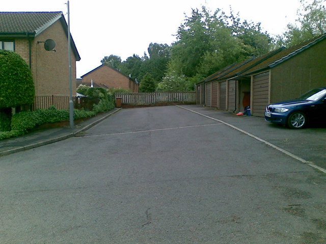
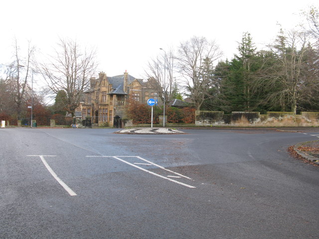
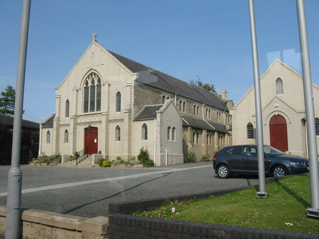
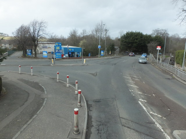
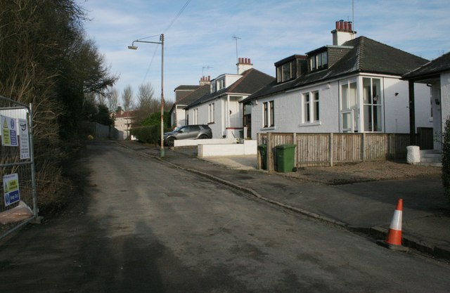
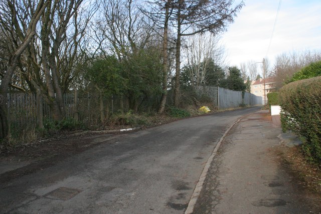
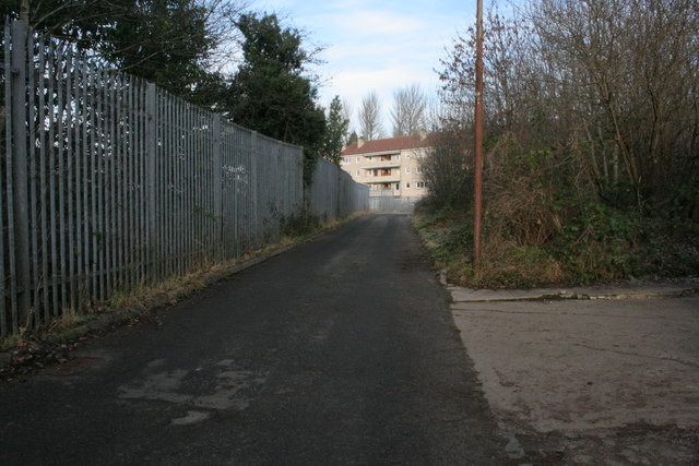
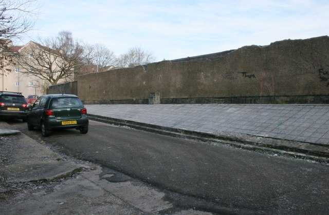
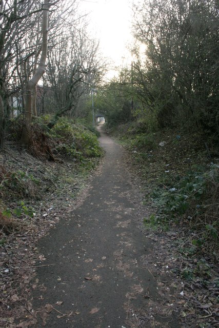
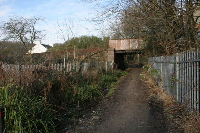
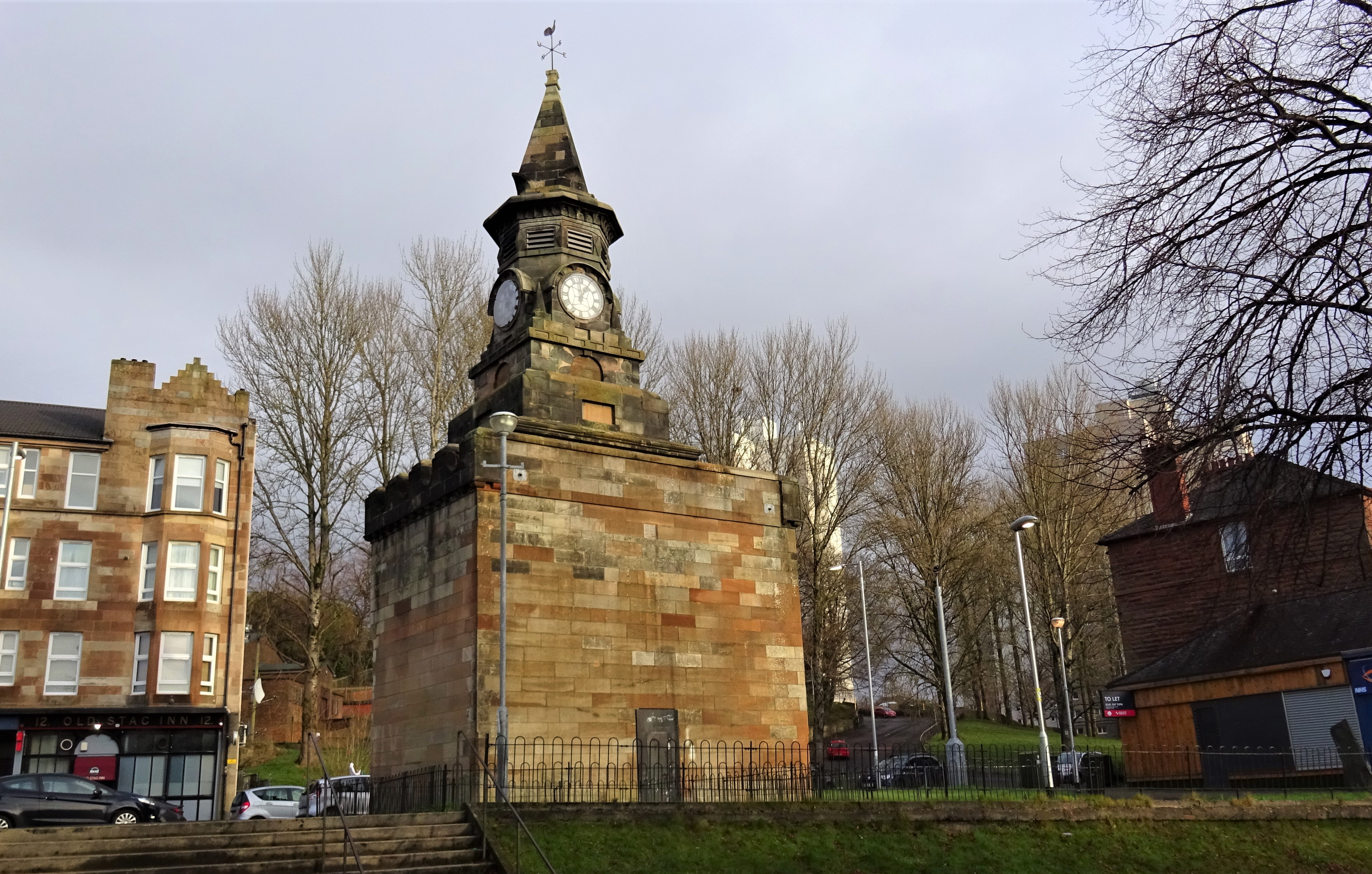
Pollok House Images
Images are sourced within 2km of 55.823/-4.303 or Grid Reference NS5561. Thanks to Geograph Open Source API. All images are credited.
Pollok House is located at Grid Ref: NS5561 (Lat: 55.823, Lng: -4.303)
What 3 Words
///salsa.erase.scans. Near Giffnock, East Renfrewshire
Nearby Locations
Related Wikis

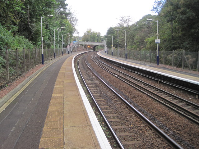
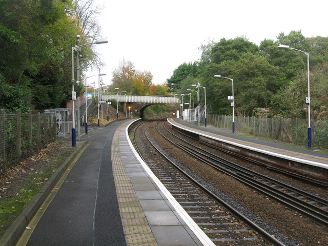
Pollokshaws West railway station
Pollokshaws West railway station is a railway station in Glasgow, Scotland. The station is managed by ScotRail and is served by trains on the Glasgow South...

Pollokshaws Burgh Hall
The Pollokshaws Burgh Hall is a municipal building at the edge of Pollok Country Park, Glasgow, Scotland. The burgh hall, which was briefly the headquarters...

Shawholm
Shawholm is a former cricket ground in Glasgow, Scotland. Located within Pollok Country Park, it was the home ground of Poloc Cricket Club and staged three...
Pollokshaws
Pollokshaws (Scots: Powkshaws) is an area on the South side of the city of Glasgow, Scotland. It is bordered by the residential neighbourhoods of Auldhouse...
Nearby Amenities
Located within 500m of 55.823,-4.303Have you been to Pollok House?
Leave your review of Pollok House below (or comments, questions and feedback).