Pittarthie Castle
Heritage Site in Fife
Scotland
Pittarthie Castle
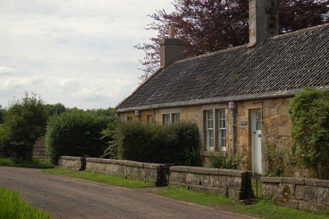
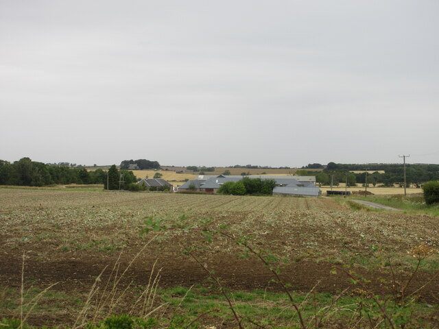
Pittarthie Castle is an impressive heritage site located in the county of Fife, Scotland. Situated near the small village of Aberdour, the castle stands on a picturesque hilltop, overlooking the Firth of Forth.
Constructed in the 17th century, Pittarthie Castle is a fine example of Scottish Baronial architecture. The castle features a robust stone façade with prominent turrets and battlements, giving it a distinctive and imposing appearance. The building is surrounded by well-maintained gardens and a charming courtyard, adding to its allure.
The interior of Pittarthie Castle offers visitors a glimpse into the past. The castle boasts a grand entrance hall, adorned with intricate woodwork and elegant furnishings. The rooms are decorated with period furniture, tapestries, and art pieces, showcasing the opulence of its former inhabitants. Additionally, the castle houses a collection of historical artifacts, including weapons and armor, providing further insight into its rich history.
Pittarthie Castle has witnessed significant events throughout its existence. It has been home to several notable Scottish families, including the Abernethy and Boswell clans. The castle has also played a role in various historical conflicts and political struggles, adding to its historical significance.
Today, Pittarthie Castle is open to the public, allowing visitors to explore its magnificent architecture and learn about its captivating past. Guided tours provide an opportunity to delve into the castle's history and experience the ambiance of a bygone era. The castle's picturesque location, coupled with its architectural splendor, makes it a must-visit destination for history enthusiasts and those seeking to immerse themselves in Scotland's rich heritage.
If you have any feedback on the listing, please let us know in the comments section below.
Pittarthie Castle Images
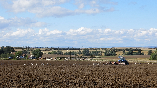
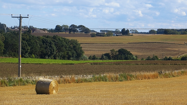
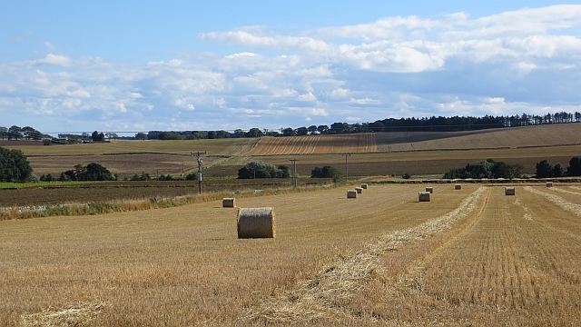
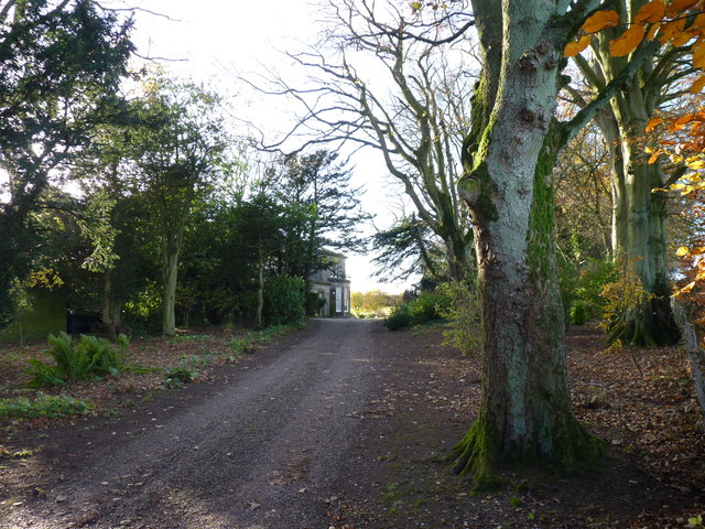
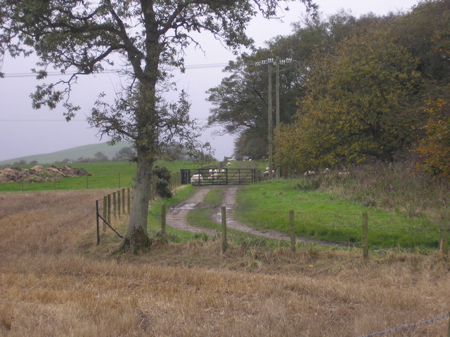
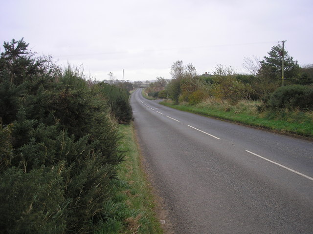
Images are sourced within 2km of 56.275/-2.767 or Grid Reference NO5209. Thanks to Geograph Open Source API. All images are credited.
Pittarthie Castle is located at Grid Ref: NO5209 (Lat: 56.275, Lng: -2.767)
What 3 Words
///regularly.mailings.boating. Near Anstruther, Fife
Nearby Locations
Related Wikis

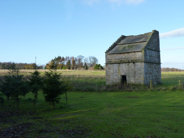
Pittarthie Castle
Pittarthie Castle is the remains of what was a laird’s tower house in Fife, Scotland dating to the end of the sixteenth century. The ruins of the structure...

Dunino
See also Dunino, Poland.Dunino is a village and parish in the East Neuk of Fife. It is 10 km from the nearest town, St Andrews, and 8 km from the fishing...
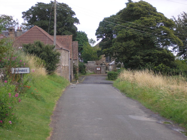
Carnbee, Fife
Carnbee is a village and rural parish in the inland part of the East Neuk of Fife, Scotland. == Location == It lies to the north of Anstruther and Pittenweem...

Riggin o Fife
The Riggin o Fife is an upland area of Fife, Scotland which runs eastward from the Markinch Gap and the Howe of Fife to form the elevated hinterland to...

Stravithie railway station
Stravithie railway station served the hamlet of Stravithie, Fife, Scotland from 1887 to 1930 on the Anstruther and St Andrews Railway. == History == The...
RNAS Dunino (HMS Jackdaw II)
Royal Naval Air Station Dunino or more simply RNAS Dunino (HMS Jackdaw II) is a former Fleet Air Arm base located 1.8 miles (2.9 km) west of Kingsbarns...

Kellie Castle
Kellie Castle is a castle just outside Arncroach and below the dominant hill in the area, Kellie Law. it is about 4 kilometres north of Pittenweem in...
Scotland's Secret Bunker
Scotland's Secret Bunker is a nuclear bunker turned into a Cold War museum. == History == The nuclear bunker was built in 1952 with the original purpose...
Related Videos


Spring Road Trip Drive With Music To Church On History Visit To Dunino East Neuk Of Fife Scotland
Tour Scotland early Spring 4K travel video of road trip drive, with Scottish music, North on the B9131 road from Anstruther, on ...

Summer Road Trip Drive With Music On History Visit To Dunino Fife Scotland
Tour Scotland 4K Summer travel video of a road trip drive, with Scottish music, North on the B9131 road, from Anstruther in the ...

Dunino Den & Craighall Den (Fife)
With the weather looking miserable we headed east for lunch in St Andrews followed walks to Dunino Den and Craig Hall Den.
Nearby Amenities
Located within 500m of 56.275,-2.767Have you been to Pittarthie Castle?
Leave your review of Pittarthie Castle below (or comments, questions and feedback).