Piggledene
Heritage Site in Wiltshire
England
Piggledene
Piggledene, located in Wiltshire, is a renowned heritage site that showcases the rich history and cultural heritage of the region. Spanning over 20 acres of land, it is an important archaeological site dating back to the Iron Age.
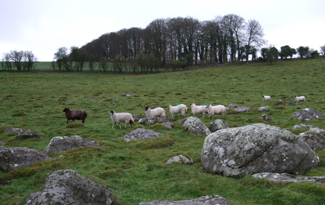
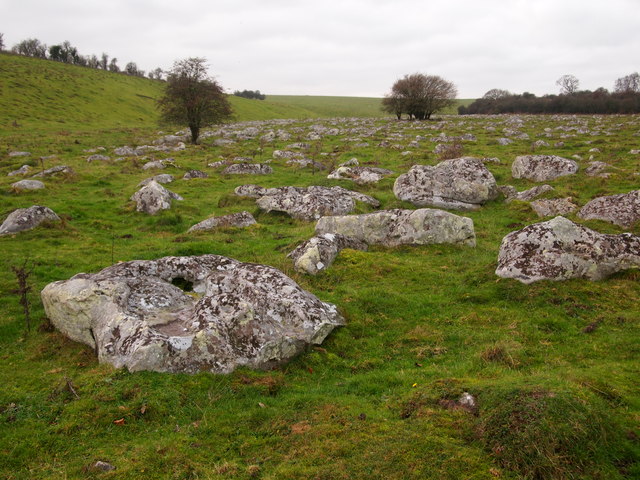
The site is known for its well-preserved earthworks and ancient structures, including burial mounds and round barrows. These structures provide valuable insights into the lives and burial practices of the people who inhabited the area thousands of years ago.
Piggledene is also home to a unique collection of artifacts that have been excavated from the site. These artifacts, including pottery, tools, and jewelry, provide valuable evidence of the daily lives and craftsmanship of the ancient inhabitants.
Visitors to Piggledene can explore the site through guided tours, allowing them to delve into the rich history and archaeology of the area. The tours provide an opportunity to learn about the excavation process and the significance of the discoveries made at the site.
In addition to its archaeological importance, Piggledene offers a picturesque setting with its rolling hills and scenic views. It is a popular destination for nature enthusiasts and hikers, who can enjoy the beauty of the surrounding landscape while immersing themselves in the history of the area.
Overall, Piggledene in Wiltshire is a captivating heritage site that offers a fascinating glimpse into the past. Its well-preserved earthworks, ancient structures, and valuable artifacts make it a must-visit destination for history buffs and nature lovers alike.
If you have any feedback on the listing, please let us know in the comments section below.
Piggledene Images
Images are sourced within 2km of 51.419/-1.798 or Grid Reference SU1468. Thanks to Geograph Open Source API. All images are credited.
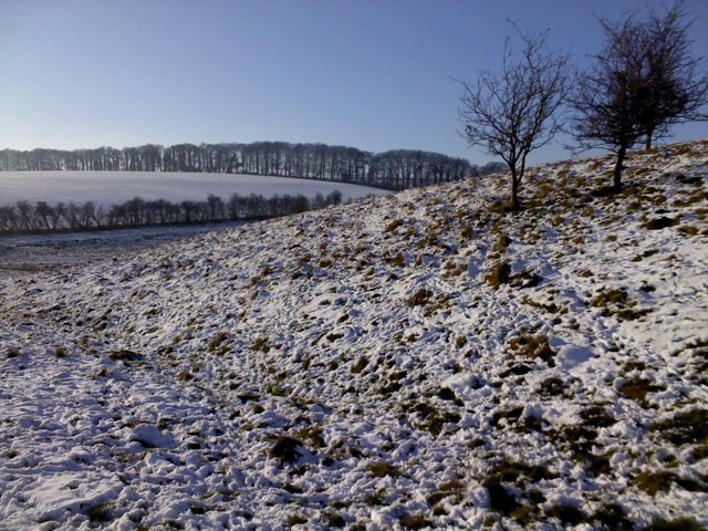
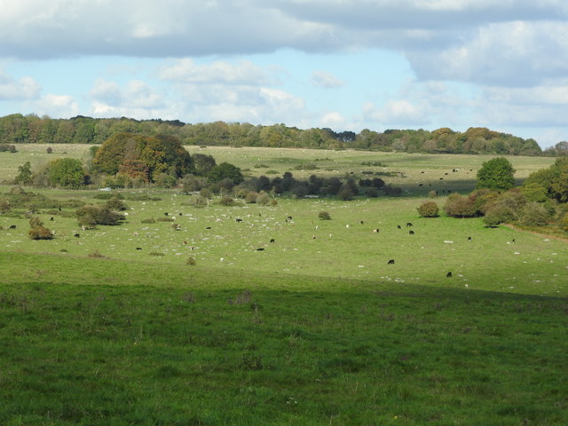
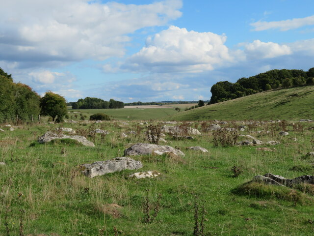
![From East Kennet to Overton Down and return [54] The footpath descends gently though this field alongside the horse gallops. In the field are the remains of a former settlement, an old pit and some tumuli but none of these features are clearly visible. West Wood is on the skyline.
From East Kennett the walk passes The Sanctuary and, after crossing the A4 road, follows The Ridgeway to Overton Down. A right turn onto Herepath leads to Fyfield Down then footpaths and a bridleway lead back to West Overton village and a minor road runs back to the start. Just over 5½ miles.](https://s3.geograph.org.uk/geophotos/06/55/74/6557427_db89e240.jpg)
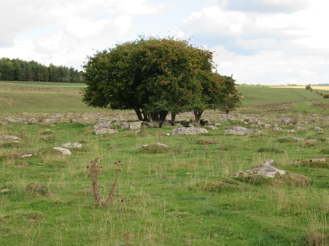
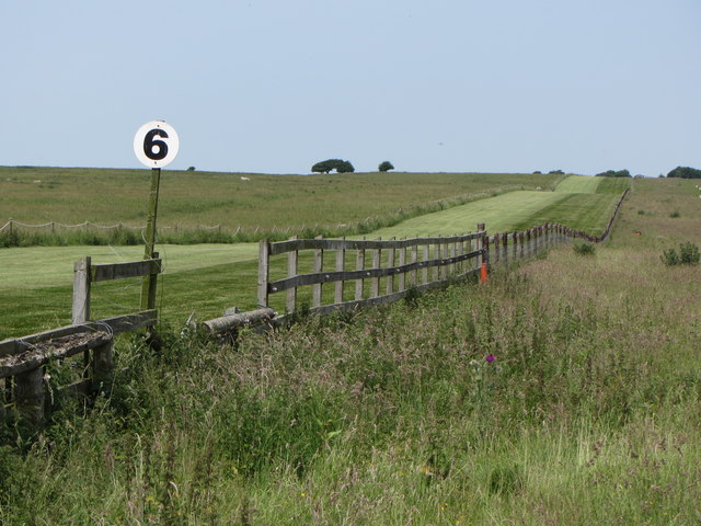
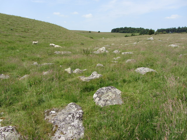
![From East Kennet to Overton Down and return [55] Whilst the field continues to gently descend towards Down Barn, the footpath swings left to cross the horse gallops.
From East Kennett the walk passes The Sanctuary and, after crossing the A4 road, follows The Ridgeway to Overton Down. A right turn onto Herepath leads to Fyfield Down then footpaths and a bridleway lead back to West Overton village and a minor road runs back to the start. Just over 5½ miles.](https://s0.geograph.org.uk/geophotos/06/55/74/6557432_d38a4b66.jpg)
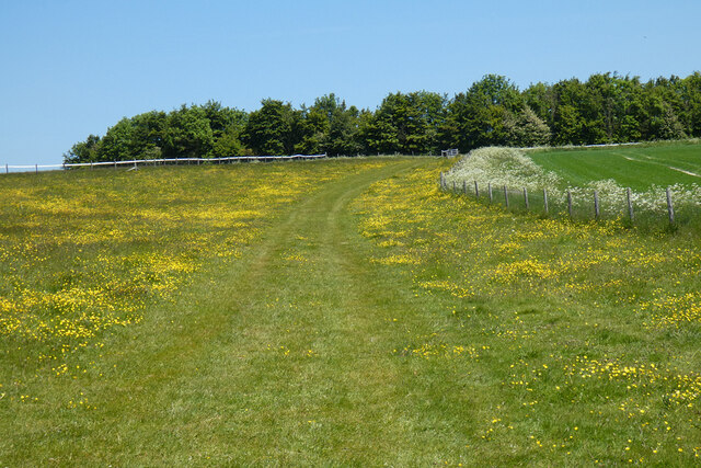
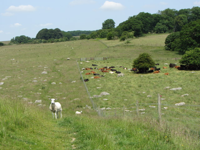
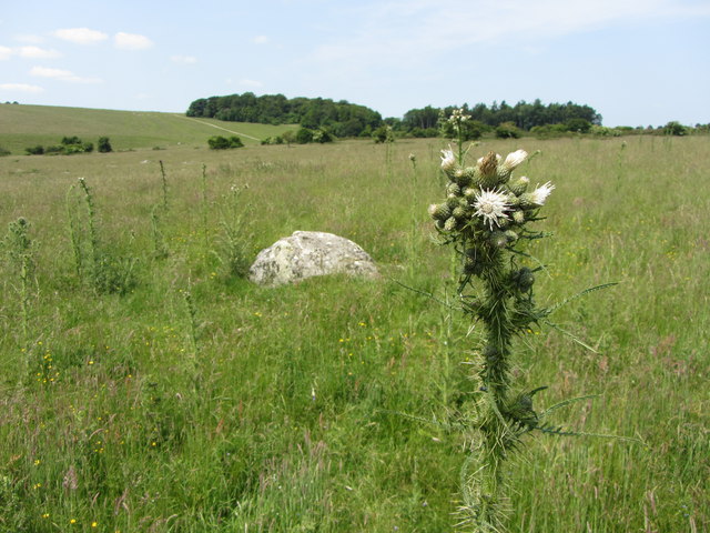
![From East Kennet to Overton Down and return [56] One of the many colourful thistles near the footpath.
From East Kennett the walk passes The Sanctuary and, after crossing the A4 road, follows The Ridgeway to Overton Down. A right turn onto Herepath leads to Fyfield Down then footpaths and a bridleway lead back to West Overton village and a minor road runs back to the start. Just over 5½ miles.](https://s2.geograph.org.uk/geophotos/06/55/74/6557434_0094eb68.jpg)
Piggledene is located at Grid Ref: SU1468 (Lat: 51.419, Lng: -1.798)
Unitary Authority: Wiltshire
Police Authority: Wiltshire
What 3 Words
///roadblock.bottle.afterglow. Near Fyfield, Wiltshire
Nearby Locations
Related Wikis
Piggledene
Piggledene (grid reference SU141689) is a 4.7 hectare biological and geological Site of Special Scientific Interest in Wiltshire, notified in 1965. Since...

Fyfield (near Marlborough)
Fyfield is a village and civil parish in the English county of Wiltshire, in the Kennet Valley about 2.5 miles (4.0 km) west of Marlborough. The village...

Lockeridge
Lockeridge is a village in Wiltshire, England. It lies at the edge of the West Woods in the Kennet Valley, 2.9 miles (4.7 km) west of Marlborough, 3.1...

The Devil's Den
The Devil's Den or Devil's Den is a dolmen burial chamber on Fyfield Hill near Marlborough, Wiltshire, England. The chamber is part of a neolithic passage...
Nearby Amenities
Located within 500m of 51.419,-1.798Have you been to Piggledene?
Leave your review of Piggledene below (or comments, questions and feedback).