Pen-y-gaer

Heritage Site in Caernarfonshire

Wales

Pen-y-gaer

Single track road near Rowlyn Isa We were held up here by a van in a ditch so took the opportunity to take the above photograph.
Single track road near Rowlyn Isa Credit: Colin Kinnear

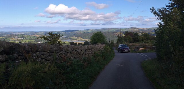
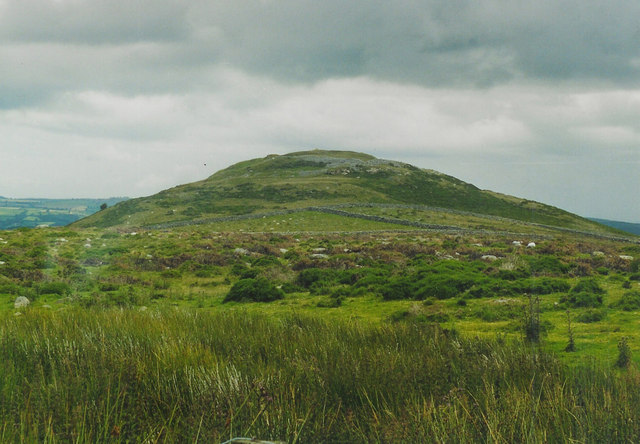
Pen-y-gaer is a historic heritage site located in Caernarfonshire, Wales. Situated on the northern slopes of the Llŷn Peninsula, it is an ancient hillfort that dates back to the Iron Age. The site offers a fascinating glimpse into the region's rich history and provides breathtaking views of the surrounding countryside.

The hillfort at Pen-y-gaer is believed to have been constructed around 400 BC and was occupied until the Roman period, making it one of the oldest and most significant archaeological sites in the area. The fort covers an area of approximately 4.5 acres and is surrounded by a series of impressive defensive earthworks, including ramparts and ditches.

Excavations at Pen-y-gaer have revealed evidence of various structures within the hillfort, including roundhouses, storage pits, and animal pens. The fort would have served as a communal living space for a significant number of people, with its strategic location offering protection and commanding views of the surrounding landscape.

Visitors to Pen-y-gaer can explore the site's remains and imagine what life would have been like for its ancient inhabitants. The panoramic views from the hillfort are particularly breathtaking, overlooking the picturesque countryside and the nearby coastline. The site is also surrounded by beautiful walking routes and nature trails, allowing visitors to fully immerse themselves in the area's natural beauty.

Pen-y-gaer is a remarkable heritage site that provides a unique insight into Wales' ancient past. Its well-preserved earthworks and captivating views make it a must-visit destination for history enthusiasts and nature lovers alike.

If you have any feedback on the listing, please let us know in the comments section below.
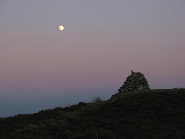
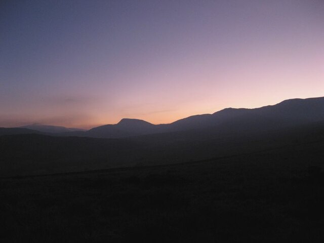
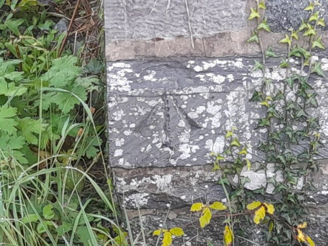
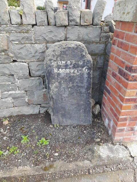
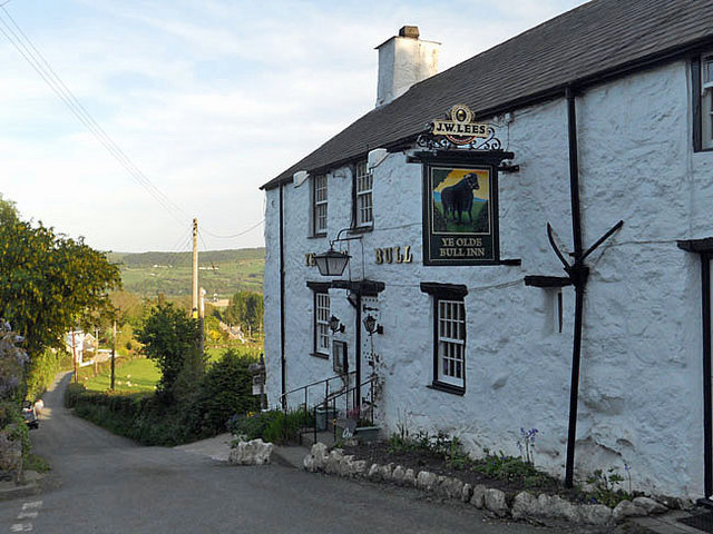
Pen-y-gaer Images

Images are sourced within 2km of 53.207/-3.863 or Grid Reference SH7569. Thanks to Geograph Open Source API. All images are credited.

Single track road near Rowlyn Isa We were held up here by a van in a ditch so took the opportunity to take the above photograph.
Single track road near Rowlyn Isa
We were held up here by a van in a ditch so took the opportunity to take the above photograph.
Pen-y-gaer cairn The moon is almost full in this early-evening view of the summit of this fine and atmospheric hill. I feel a shiver of connection with the Celtic originators of such defensive sites at times like the full moon or solstice. The cairn is an abomination, really, but people have their own way of celebrating the location.
Pen-y-gaer cairn
The moon is almost full in this early-evening view of the summit of this fine and atmospheric hill. I feel a shiver of connection with the Celtic originators of such defensive sites at times like the full moon or solstice. The cairn is an abomination, really, but people have their own way of celebrating the location.
Mountain horizon Sunset over the Carneddau, with the prominent peak of Pen Llithrig y Wrach. It is a rare thing nowadays to be without any intrusion of artificial light.
Mountain horizon
Sunset over the Carneddau, with the prominent peak of Pen Llithrig y Wrach. It is a rare thing nowadays to be without any intrusion of artificial light.
Bwlch-y-gaer nightfall 1 Night falling by the ruined farmstead. Venus is just visible towards the left of the image.
Bwlch-y-gaer nightfall 1
Night falling by the ruined farmstead. Venus is just visible towards the left of the image.
Bwlch-y-gaer nightfall 2 Night falling by the ruined farmstead. Venus is just visible towards the left of the image.
Bwlch-y-gaer nightfall 2
Night falling by the ruined farmstead. Venus is just visible towards the left of the image.
Ordnance Survey Pivot This OS pivot can be found on the wall NW side of the track. It marks a point 1220.0ft above mean sea level.
Ordnance Survey Pivot
This OS pivot can be found on the wall NW side of the track. It marks a point 1220.0ft above mean sea level.
Ordnance Survey Pivot This OS pivot can be found on the west face of the wall. It marks a point 1451.0ft above mean sea level.
Ordnance Survey Pivot
This OS pivot can be found on the west face of the wall. It marks a point 1451.0ft above mean sea level.
Ordnance Survey Cut Mark Only the lower tip of the middle part of the arrow of this OS cut mark remains on the SE angle of St Peter's Church. It marked a point 77.060m above mean sea level.
Ordnance Survey Cut Mark
Only the lower tip of the middle part of the arrow of this OS cut mark remains on the SE angle of St Peter's Church. It marked a point 77.060m above mean sea level.
Ordnance Survey Pivot This OS pivot can be found on the west angle of the Salem Chapel. It marks a point 42.599 above mean sea level.
Ordnance Survey Pivot
This OS pivot can be found on the west angle of the Salem Chapel. It marks a point 42.599 above mean sea level.
Milestone - Conwy 6
Milestone - Conwy 6
Witch's brooms A fabulous birch tree silhouette featuring abundant Witch's brooms - growths induced by fungal parasites. Trees are so much more interesting in winter, when you can see their structure properly.
Witch's brooms
A fabulous birch tree silhouette featuring abundant Witch's brooms - growths induced by fungal parasites. Trees are so much more interesting in winter, when you can see their structure properly.
Wall and Penygadair Looking over the roadside wall to the upland pastures of Penygadair.
Wall and Penygadair
Looking over the roadside wall to the upland pastures of Penygadair.
Tracks in snow Following the track towards the abandoned, upland farm of Tan-y-bwlch with the snow-covered peaks of the Carneddau in the distance.
Tracks in snow
Following the track towards the abandoned, upland farm of Tan-y-bwlch with the snow-covered peaks of the Carneddau in the distance.
Slatey outcrop Jagged shards of slatey mudstone (attributed to the Snowdon Volcanic Group, Ordovician, Caradoc) jut from the snow-covered ground.
Slatey outcrop
Jagged shards of slatey mudstone (attributed to the Snowdon Volcanic Group, Ordovician, Caradoc) jut from the snow-covered ground.
Snowy hillside A view down the hillside of Penygadair, with an un-marked access track ascending. The distant Conwy Valley is subject to temperature inversion and is filled with fog.
Snowy hillside
A view down the hillside of Penygadair, with an un-marked access track ascending. The distant Conwy Valley is subject to temperature inversion and is filled with fog.
Rocks with bonnets A colourful outcrop of rhyolitic tuff (Crafnant Volcanic Formation, Ordovician, Caradoc) is decorated by drapes of snow resembling bonnets on the rounded forms. It is odd that one boulder has a complete covering of snow, when the sun-warmed faces are clear.
Rocks with bonnets
A colourful outcrop of rhyolitic tuff (Crafnant Volcanic Formation, Ordovician, Caradoc) is decorated by drapes of snow resembling bonnets on the rounded forms. It is odd that one boulder has a complete covering of snow, when the sun-warmed faces are clear.
Penygadair summit Cleaved outcrop makes up the fine summit of this buttress of the distant Carneddau. It is almost certain that the sub-vertical face of the short pinnacle represents historical quarrying because a sunken platform surrounds its western and southern sides. Just visible at this resolution is the Isle of Man on the marine horizon.
Penygadair summit
Cleaved outcrop makes up the fine summit of this buttress of the distant Carneddau. It is almost certain that the sub-vertical face of the short pinnacle represents historical quarrying because a sunken platform surrounds its western and southern sides. Just visible at this resolution is the Isle of Man on the marine horizon.
Ye Olde Bull Inn at Llanbedr-y-Cennin
Show me another place!

Pen-y-gaer is located at Grid Ref: SH7569 (Lat: 53.207, Lng: -3.863)

What 3 Words

///played.drilling.stall. Near Llansantffraid Glan Conwy, Conwy

Nearby Locations

Pen-y-gaer

Related Wikis

Pen y Gaer

Pen y Gaer (or Pen-y-gaer) is the location of a Bronze Age and Iron Age hillfort near the village of Llanbedr-y-Cennin in the Conwy valley, Wales. A natural...

Llanbedr-y-Cennin

Llanbedr-y-Cennin is a small village in Conwy county borough, Wales, in the community of Caerhun. It lies in the foothills on the western side of the Conwy...

Tal-y-bont, Conwy

Tal-y-Bont is a small village in Conwy County Borough, Wales and lies in the Conwy Valley, west of the River Conwy, on the B5106 road, 6 mi (9.7 km) from...

Coed Gorswen National Nature Reserve

Coed Gorswen National Nature Reserve lies on the lower slopes of the Conwy Valley, in the vicinity of Rowen and Llanbedr-y-Cennin. Its gentle landscape...

Related Videos

Nearby Amenities

Located within 500m of 53.207,-3.863
Power: pole
Lat/Long: 53.2085306/-3.8636958
Power: pole
Lat/Long: 53.2060429/-3.8604851
Power: pole
Lat/Long: 53.2094933/-3.869134
Power: pole
Lat/Long: 53.2074246/-3.862204
Power: tower
Lat/Long: 53.2099366/-3.8661122
Power: tower
Lat/Long: 53.2085487/-3.8620718
Barrier: stile
Foot: yes
Material: wood
Source: survey
Stile: ladder
Lat/Long: 53.2030376/-3.8663844
Barrier: stile
Foot: yes
Material: wood
Stile: ladder
Lat/Long: 53.2075501/-3.8699373
Power: tower
Lat/Long: 53.205795/-3.8582674
Power: tower
Lat/Long: 53.2066851/-3.8595249
Power: pole
Lat/Long: 53.2049054/-3.8590613
Power: pole
Lat/Long: 53.2092053/-3.8674003
Llanbedr-y-cennin
Place: village
Wikidata: Q6661098
Lat/Long: 53.2082635/-3.8579494
Pub
Ye Olde Bull Inn
Addr Postcode: LL32 8JB
Fhrs Id: 374193
Wikidata: Q29483095
Lat/Long: 53.2080896/-3.8570774
Barrier: stile
Stile: ladder
Lat/Long: 53.2048229/-3.8680721
Barrier: stile
Stile: ladder
Lat/Long: 53.2026446/-3.8623741
Power: pole
Lat/Long: 53.2087571/-3.8562137
Direction: WSW
Generator Method: photovoltaic
Generator Output Electricity: yes
Generator Solar Modules: 3
Generator Source: solar
Generator Type: solar_photovoltaic_panel
Location: roof
Power: generator
Lat/Long: 53.2083462/-3.8569549
Direction: WSW
Generator Method: photovoltaic
Generator Output Electricity: yes
Generator Solar Modules: 3
Generator Source: solar
Generator Type: solar_photovoltaic_panel
Location: roof
Power: generator
Lat/Long: 53.2083731/-3.8569737
Barrier: stile
Lat/Long: 53.2060834/-3.86766
Barrier: stile
Lat/Long: 53.2057667/-3.8591226
The data included in this document is from www.openstreetmap.org. The data is made available under ODbL.

Have you been to Pen-y-gaer?

Leave your review of Pen-y-gaer below (or comments, questions and feedback).