Penarth

Heritage Site in Montgomeryshire

Wales

Penarth

Severn Way (NCN81) east of Llanllwchaiarn The National Cycle Network is a network of cycle routes. It was created by the charity Sustrans <span class="nowrap"><a title="http://www.sustrans.org.uk/what-we-do/national-cycle-network" rel="nofollow ugc noopener" href="http://www.sustrans.org.uk/what-we-do/national-cycle-network">Link</a><img style="margin-left:2px;" alt="External link" title="External link - shift click to open in new window" src="https://s1.geograph.org.uk/img/external.png" width="10" height="10"/></span>  (Sustainable Transport), aided by a National Lottery grant.

Many routes aim to minimise contact with motor traffic, though 70% of them are on roads. In some cases the NCN uses pedestrian routes, disused railways, minor roads, canal towpaths, or traffic-calmed routes in towns and cities.
Severn Way (NCN81) east of Llanllwchaiarn Credit: David Smith

Penarth in Montgomeryshire is a historical heritage site located in Wales. It is known for its well-preserved medieval castle ruins, which date back to the 12th century. The castle played a significant role in the history of Wales, serving as a stronghold for various noble families throughout the centuries.

In addition to the castle ruins, Penarth is also home to a number of other historic buildings, including a medieval church and a manor house. These buildings provide insight into the architectural styles and lifestyles of the past in this region of Wales.

Visitors to Penarth can explore the castle ruins and surrounding grounds, taking in the picturesque views of the surrounding countryside. The site offers a glimpse into the rich history of Montgomeryshire and its importance in the medieval period.

Overall, Penarth in Montgomeryshire is a must-visit destination for history enthusiasts and those looking to immerse themselves in the heritage of Wales. Its well-preserved castle ruins and historic buildings provide a fascinating insight into the past of this region.

If you have any feedback on the listing, please let us know in the comments section below.
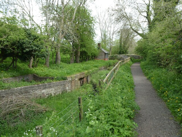
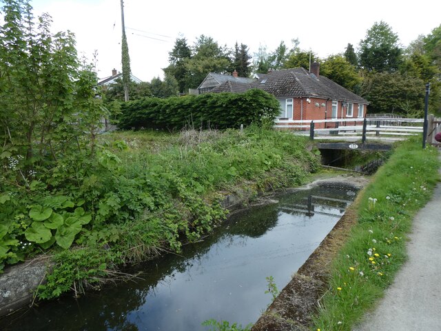
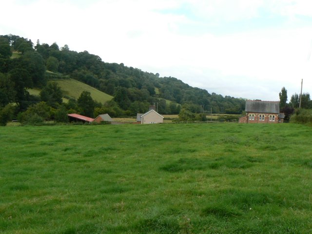
Penarth Images

Images are sourced within 2km of 52.523/-3.26 or Grid Reference SO1492. Thanks to Geograph Open Source API. All images are credited.

Severn Way (NCN81) east of Llanllwchaiarn The National Cycle Network is a network of cycle routes. It was created by the charity Sustrans <span class="nowrap"><a title="http://www.sustrans.org.uk/what-we-do/national-cycle-network" rel="nofollow ugc noopener" href="http://www.sustrans.org.uk/what-we-do/national-cycle-network">Link</a><img style="margin-left:2px;" alt="External link" title="External link - shift click to open in new window" src="https://s1.geograph.org.uk/img/external.png" width="10" height="10"/></span>  (Sustainable Transport), aided by a National Lottery grant.

Many routes aim to minimise contact with motor traffic, though 70% of them are on roads. In some cases the NCN uses pedestrian routes, disused railways, minor roads, canal towpaths, or traffic-calmed routes in towns and cities.
Severn Way (NCN81) east of Llanllwchaiarn
The National Cycle Network is a network of cycle routes. It was created by the charity Sustrans LinkExternal link (Sustainable Transport), aided by a National Lottery grant. Many routes aim to minimise contact with motor traffic, though 70% of them are on roads. In some cases the NCN uses pedestrian routes, disused railways, minor roads, canal towpaths, or traffic-calmed routes in towns and cities.
Severn Way (NCN81) west of Dolfor The National Cycle Network is a network of cycle routes. It was created by the charity Sustrans <span class="nowrap"><a title="http://www.sustrans.org.uk/what-we-do/national-cycle-network" rel="nofollow ugc noopener" href="http://www.sustrans.org.uk/what-we-do/national-cycle-network">Link</a><img style="margin-left:2px;" alt="External link" title="External link - shift click to open in new window" src="https://s1.geograph.org.uk/img/external.png" width="10" height="10"/></span>  (Sustainable Transport), aided by a National Lottery grant.

Many routes aim to minimise contact with motor traffic, though 70% of them are on roads. In some cases the NCN uses pedestrian routes, disused railways, minor roads, canal towpaths, or traffic-calmed routes in towns and cities.
Severn Way (NCN81) west of Dolfor
The National Cycle Network is a network of cycle routes. It was created by the charity Sustrans LinkExternal link (Sustainable Transport), aided by a National Lottery grant. Many routes aim to minimise contact with motor traffic, though 70% of them are on roads. In some cases the NCN uses pedestrian routes, disused railways, minor roads, canal towpaths, or traffic-calmed routes in towns and cities.
Severn Way (NCN81) in riverside woodland west of Dolfor The National Cycle Network is a network of cycle routes. It was created by the charity Sustrans <span class="nowrap"><a title="http://www.sustrans.org.uk/what-we-do/national-cycle-network" rel="nofollow ugc noopener" href="http://www.sustrans.org.uk/what-we-do/national-cycle-network">Link</a><img style="margin-left:2px;" alt="External link" title="External link - shift click to open in new window" src="https://s1.geograph.org.uk/img/external.png" width="10" height="10"/></span>  (Sustainable Transport), aided by a National Lottery grant.

Many routes aim to minimise contact with motor traffic, though 70% of them are on roads. In some cases the NCN uses pedestrian routes, disused railways, minor roads, canal towpaths, or traffic-calmed routes in towns and cities.
Severn Way (NCN81) in riverside woodland west of Dolfor
The National Cycle Network is a network of cycle routes. It was created by the charity Sustrans LinkExternal link (Sustainable Transport), aided by a National Lottery grant. Many routes aim to minimise contact with motor traffic, though 70% of them are on roads. In some cases the NCN uses pedestrian routes, disused railways, minor roads, canal towpaths, or traffic-calmed routes in towns and cities.
Severn Way (NCN81) at Dolfor Lock on Montgomery Canal
Overgrown canal at Dolfor Lock on Montgomery Canal The Severn Way (NCN81) runs beside this.
Overgrown canal at Dolfor Lock on Montgomery Canal
The Severn Way (NCN81) runs beside this.
Dried section of Montgomery Canal at Freestone
Montgomery Canal
Montgomery Canal
Canal bridge at Aberbechan
House and canal bridge at Aberbechan
Severn Way (NCN81) beside Montgomery Canal
Severn Way  (NCN81) and canal bend at Aberbechan
Severn Way (NCN81) and canal bend at Aberbechan
Severn Way and Montgomery Canal
Newhouse Wood and Montgomery Canal by Severn Way
Footbridge over Montgomery Canal near New House NCN81 (Severn Way) runs under the bridge
Footbridge over Montgomery Canal near New House
NCN81 (Severn Way) runs under the bridge
Montgomery Canal at Newhouse Wood The National Cycle Network is a network of cycle routes. It was created by the charity Sustrans <span class="nowrap"><a title="http://www.sustrans.org.uk/what-we-do/national-cycle-network" rel="nofollow ugc noopener" href="http://www.sustrans.org.uk/what-we-do/national-cycle-network">Link</a><img style="margin-left:2px;" alt="External link" title="External link - shift click to open in new window" src="https://s1.geograph.org.uk/img/external.png" width="10" height="10"/></span>  (Sustainable Transport), aided by a National Lottery grant.

Many routes aim to minimise contact with motor traffic, though 70% of them are on roads. In some cases the NCN uses pedestrian routes, disused railways, minor roads, canal towpaths, or traffic-calmed routes in towns and cities.
Montgomery Canal at Newhouse Wood
The National Cycle Network is a network of cycle routes. It was created by the charity Sustrans LinkExternal link (Sustainable Transport), aided by a National Lottery grant. Many routes aim to minimise contact with motor traffic, though 70% of them are on roads. In some cases the NCN uses pedestrian routes, disused railways, minor roads, canal towpaths, or traffic-calmed routes in towns and cities.
Swans nesting by Montgomery Canal
Montgomery Canal south of Newhouse Wood The towpath is part of the Severn Way and NCN81
Montgomery Canal south of Newhouse Wood
The towpath is part of the Severn Way and NCN81
Severn Way between the river and the canal, Aberbechan The National Cycle Network is a network of cycle routes. It was created by the charity Sustrans <span class="nowrap"><a title="http://www.sustrans.org.uk/what-we-do/national-cycle-network" rel="nofollow ugc noopener" href="http://www.sustrans.org.uk/what-we-do/national-cycle-network">Link</a><img style="margin-left:2px;" alt="External link" title="External link - shift click to open in new window" src="https://s1.geograph.org.uk/img/external.png" width="10" height="10"/></span>  (Sustainable Transport), aided by a National Lottery grant.

Many routes aim to minimise contact with motor traffic, though 70% of them are on roads. In some cases the NCN uses pedestrian routes, disused railways, minor roads, canal towpaths, or traffic-calmed routes in towns and cities.
Severn Way between the river and the canal, Aberbechan
The National Cycle Network is a network of cycle routes. It was created by the charity Sustrans LinkExternal link (Sustainable Transport), aided by a National Lottery grant. Many routes aim to minimise contact with motor traffic, though 70% of them are on roads. In some cases the NCN uses pedestrian routes, disused railways, minor roads, canal towpaths, or traffic-calmed routes in towns and cities.
Show me another place!

Penarth is located at Grid Ref: SO1492 (Lat: 52.523, Lng: -3.26)

Unitary Authority: Powys

Police Authority: Dyfed Powys

What 3 Words

///masters.entrusted.shorter. Near Newtown, Powys

Nearby Locations

Nant-y-crach Wood Penarth

Related Wikis

Penarth (Newtown and Llanllwchaiarn)

Penarth is a timber-framed house set back from the A483 road near to Newtown, Wales, close to the banks of the river Severn. It is within the parish...

Aberbechan

Aberbechan was formerly a township in the parish of Llanllwchaearn in the historic county of Montgomeryshire. The township of Aberbechan was transferred...

Llanmerewig

Llanmerewig is a historic parish in Powys, Wales, in the historic county of Montgomeryshire, and is situated between Newtown and Welshpool. The church...

Radio Hafren

Radio Hafren was an Independent Local Radio station in the United Kingdom, serving Mid Wales and the English border counties and broadcasting on 756 AM...

Nearby Amenities

Located within 500m of 52.523,-3.26
Power: tower
Lat/Long: 52.5233416/-3.2664735
Power: tower
Lat/Long: 52.5243534/-3.2652075
Power: tower
Lat/Long: 52.5269563/-3.2619419
Power: tower
Lat/Long: 52.5251465/-3.2641883
Power: pole
Lat/Long: 52.5261665/-3.263398
Power: pole
Lat/Long: 52.5242711/-3.265521
Power: pole
Lat/Long: 52.5234322/-3.2665778
Place: farm
Lat/Long: 52.5222166/-3.2540289
Parking
Layby
Source: Bing
Lat/Long: 52.5254908/-3.2653536
The data included in this document is from www.openstreetmap.org. The data is made available under ODbL.

Have you been to Penarth?

Leave your review of Penarth below (or comments, questions and feedback).