Packhorse Bridge

Heritage Site in Somerset

England

Packhorse Bridge

Barn at Horner Farm
Barn at Horner Farm Credit: John H Darch

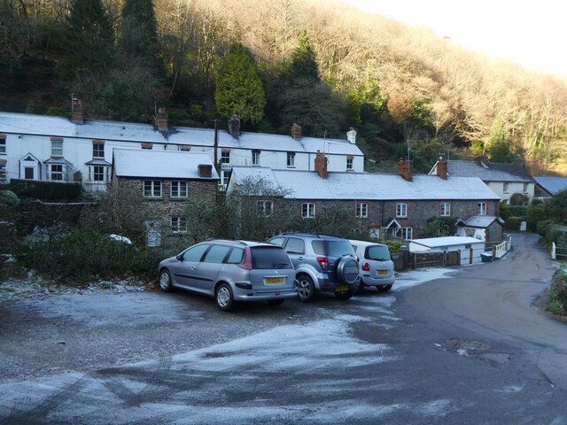
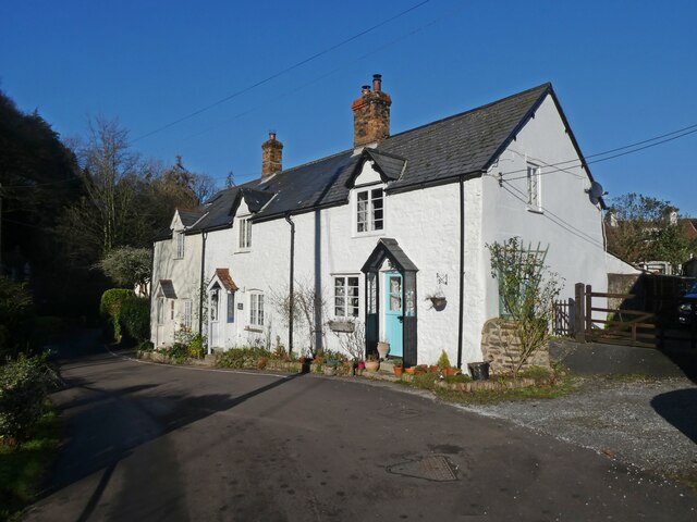
Packhorse Bridge is a historic landmark located in the village of Allerford in Somerset, England. This charming stone bridge dates back to the 15th century and is a well-preserved example of medieval engineering. The bridge spans the River Aller and was originally built to facilitate the transportation of goods and livestock across the river.

The Packhorse Bridge features a single pointed arch and is constructed of local stone, giving it a rustic and picturesque appearance. The bridge is relatively narrow, with a low parapet on either side, making it a quaint and intimate crossing point. The bridge is no longer in use for its original purpose but serves as a popular tourist attraction and a reminder of the area's rich history.

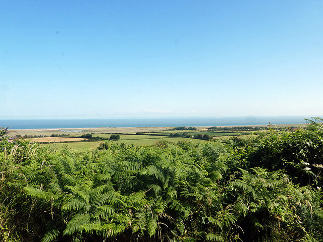
Visitors to Packhorse Bridge can enjoy scenic views of the surrounding countryside and explore the nearby village of Allerford, which is known for its thatched cottages and traditional charm. The bridge is also a popular spot for photographers and artists looking to capture its timeless beauty. Packhorse Bridge is a designated heritage site and is protected for future generations to enjoy and appreciate.

If you have any feedback on the listing, please let us know in the comments section below.

Packhorse Bridge Images

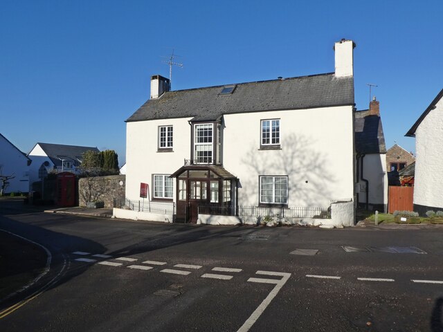
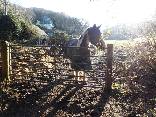
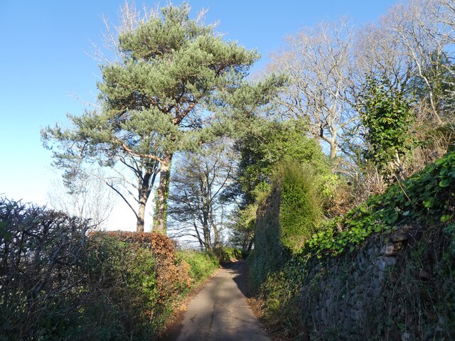
Images are sourced within 2km of 51.207/-3.582 or Grid Reference SS8946. Thanks to Geograph Open Source API. All images are credited.

Barn at Horner Farm
Barn at Horner Farm
Tea gardens, Horner
Tea gardens, Horner
Porlock village
Porlock village
Porlock Hill sign on the A39 west
Thatched cottage at Bossington c.1970
Shrubbery beside New Road Near Porlock with the arable coastal strip beside Porlock Bay in view.
Shrubbery beside New Road
Near Porlock with the arable coastal strip beside Porlock Bay in view.
Dover Court House. Porlock
Looking for company
Looking for company
Lane, above Porlock
Lane, above Porlock
A frosty scene at Hawkcombe
Mill Cottages, Hawkcombe
Interior, St Dubricius's Church, Porlock
All methods of payment accepted! At St Dubricius's Church, Porlock
All methods of payment accepted!
At St Dubricius's Church, Porlock
Porlock : Road Looking along a road through Hawk Combe.
Porlock : Road
Looking along a road through Hawk Combe.
Porlock : Peep Out A house in Hawk Combe.
Porlock : Peep Out
A house in Hawk Combe.
Porlock : Weir A weir in the stream in Hawk Combe.
Porlock : Weir
A weir in the stream in Hawk Combe.
Porlock : Weir Looking towards a weir at Hawk Combe.
Porlock : Weir
Looking towards a weir at Hawk Combe.
Porlock : Stream A stream heads through Hawk Combe.
Porlock : Stream
A stream heads through Hawk Combe.
Show me another place!

Packhorse Bridge is located at Grid Ref: SS8946 (Lat: 51.207, Lng: -3.582)

Police Authority: Avon and Somerset

What 3 Words

///tomb.sizes.crafts. Near Porlock, Somerset

Related Wikis

Coleridge Way

The Coleridge Way is a 51-mile (82 km) long-distance trail in Somerset and Devon, England. It was opened in April 2005, and the route links several sites...

Dovery Manor Museum

Dovery Manor Museum, also known as Porlock Museum, is a local museum in Porlock, Somerset, England. The building was built as a Manor house in the late...

Porlock

Porlock is a coastal village in Somerset, England, 5 miles (8 km) west of Minehead. At the 2011 census, the village had a population of 1,440.In 2017,...

Hawkcombe Woods

Hawkcombe Woods is a national nature reserve near Porlock on Exmoor, Somerset, England.The 101 hectares (250 acres) woodlands are notable for their lichens...

Related Videos

Walking the South West Coast Path (Part 1) Minehead to Bossington

In today's video I walk the South West Coast Path between Minehead and Bossington. I explore the varied path through parks, ...

Hiking 18km on the South West Coastal Path: Porlock to Lynton

Our second day of the South West Coastal Path. We started in Porlock and planned to finish in Lynmouth. The day had forcast rain ...

Walk From Porlock to Selworthy Tea Rooms, Somerset, UK.

Walk from Porlock salt marshes to Selworthy, specifically the Periwinkle Tea Rooms which are in a beautiful National Trust ...

Nearby Amenities

Located within 500m of 51.207,-3.582
Red Post
Junction: yes
Lat/Long: 51.2071326/-3.5803137
Post Box
Brand: Royal Mail
Brand Wikidata: Q638098
Brand Wikipedia: en:Royal Mail
Operator: Royal Mail
Operator Wikidata: Q638098
Post Box Type: wall
Lat/Long: 51.2045619/-3.5768603
Post Box
Brand: Royal Mail
Brand Wikidata: Q638098
Brand Wikipedia: en:Royal Mail
Operator: Royal Mail
Operator Wikidata: Q638098
Post Box Type: lamp
Ref: TA24 108
Royal Cypher: EIIR
Royal Cypher Wikidata: Q33102113
Lat/Long: 51.2079899/-3.5839945
West Luccumbe
Place: hamlet
Lat/Long: 51.2051952/-3.5774424
Exmoor House
Addr City: Minehead
Addr Country: GB
Addr County: Somerset
Addr Postcode: TA24 8EY
Addr Street: Minehead Road
Addr Village: Porlock
Fhrs Authority: West Somerset
Fhrs Id: 160416
Fhrs Local Authority Id: PI/000000016
Tourism: guest_house
Lat/Long: 51.2093334/-3.5867196
Power: pole
Source: bing
Lat/Long: 51.2083185/-3.5832261
Power: pole
Source: bing
Lat/Long: 51.2096577/-3.5848126
Power: pole
Source: bing
Lat/Long: 51.2089788/-3.5840052
Power: pole
Source: bing
Lat/Long: 51.2103735/-3.5857165
Power: pole
Source: bing
Lat/Long: 51.207548/-3.5827205
Power: pole
Source: bing
Switch: yes
Lat/Long: 51.2071892/-3.5817911
Power: pole
Source: bing
Lat/Long: 51.2068994/-3.5810722
Power: pole
Source: bing
Transformer: distribution
Lat/Long: 51.206859/-3.5808778
Power: pole
Source: bing
Lat/Long: 51.2066179/-3.5798585
Power: pole
Source: bing
Lat/Long: 51.2057466/-3.5760096
Power: pole
Source: bing
Lat/Long: 51.2060583/-3.577407
Power: pole
Source: bing
Lat/Long: 51.2064129/-3.5789305
Power: pole
Source: bing
Transformer: distribution
Lat/Long: 51.2042123/-3.5764669
Power: pole
Source: bing
Lat/Long: 51.2085823/-3.5884711
Power: pole
Source: bing
Lat/Long: 51.2083134/-3.5872909
Power: pole
Source: bing
Lat/Long: 51.2081521/-3.5865574
Power: pole
Source: bing
Lat/Long: 51.2078076/-3.5850754
Power: pole
Source: bing
Lat/Long: 51.2074547/-3.5835224
Power: pole
Source: bing
Lat/Long: 51.2071161/-3.5820472
Power: pole
Source: bing
Lat/Long: 51.2067632/-3.580863
Power: pole
Source: bing
Lat/Long: 51.2062927/-3.5792859
Power: pole
Source: bing
Lat/Long: 51.2057894/-3.5776229
Power: pole
Source: bing
Lat/Long: 51.205318/-3.5760525
Power: pole
Lat/Long: 51.2040316/-3.5855261
Power: pole
Lat/Long: 51.2045181/-3.5842064
Power: pole
Lat/Long: 51.2055886/-3.5835533
Power: pole
Lat/Long: 51.2065876/-3.583163
Power: pole
Lat/Long: 51.2073035/-3.582876
The data included in this document is from www.openstreetmap.org. The data is made available under ODbL.

Have you been to Packhorse Bridge?

Leave your review of Packhorse Bridge below (or comments, questions and feedback).