Old Sauchie

Heritage Site in Stirlingshire

Scotland

Old Sauchie

The start of the track to Old Sauchie Sadly marred by dumping and signs of tyre burning.  While the OS marks this as a track all the way to Old Sauchie, it deteriorates into a very poor and boggy path after 100 metres or so.
The start of the track to Old Sauchie Credit: Gordon Brown

Old Sauchie is a historic village located in the Stirlingshire region of Scotland. This charming settlement, known for its rich heritage, is nestled amidst picturesque countryside, offering breathtaking views of the Ochil Hills. With a history dating back centuries, Old Sauchie has preserved its traditional character and serves as a testament to Scotland's past.

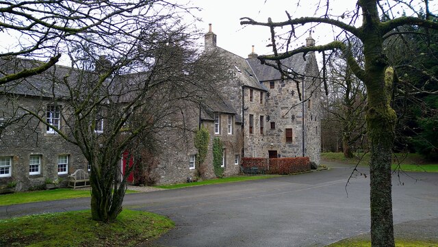
One of the main attractions in Old Sauchie is the Old Sauchie Tower. This impressive structure, dating back to the 15th century, is a remnant of the village's medieval past. The tower stands tall, showcasing its sturdy stone construction and Gothic architecture. Visitors can explore the tower and learn about its history, including its use as a defensive structure during times of conflict.

Another notable feature of Old Sauchie is the St. Serf's Church. This ancient place of worship has stood for over a thousand years and continues to serve as a spiritual center for the local community. The church features a mix of architectural styles, including Norman and Gothic elements, making it a fascinating sight for history and architecture enthusiasts.

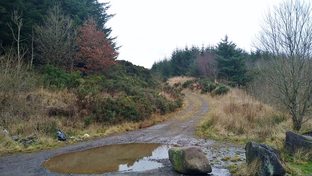
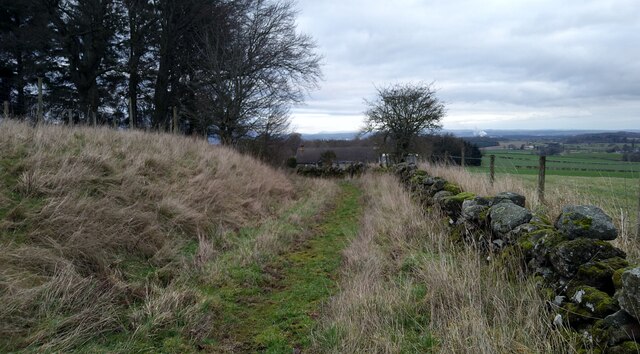
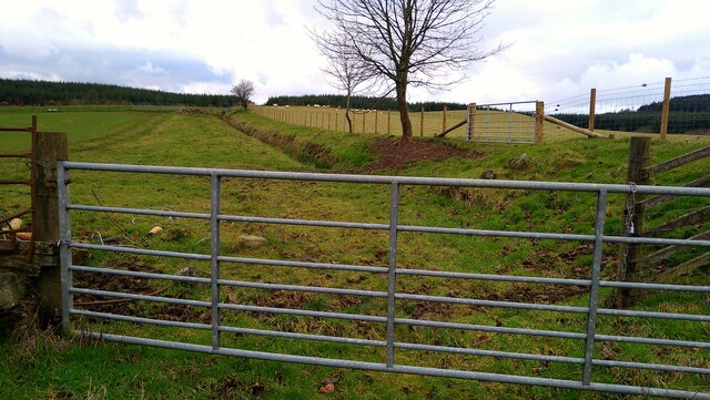
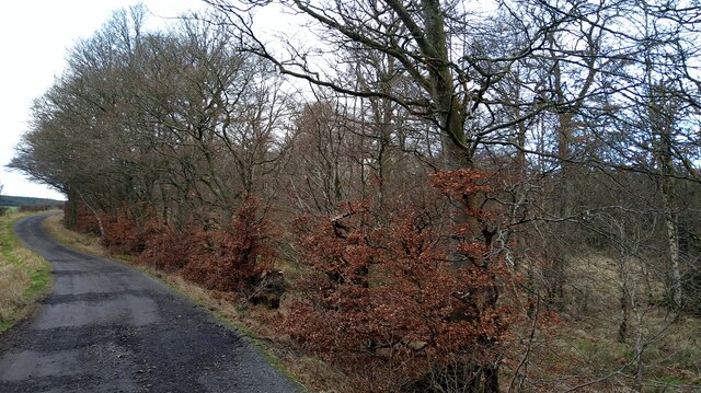
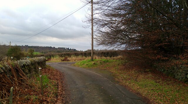
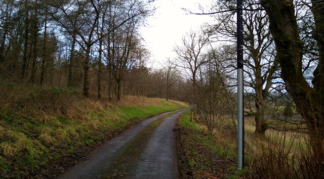
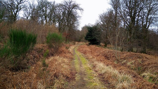
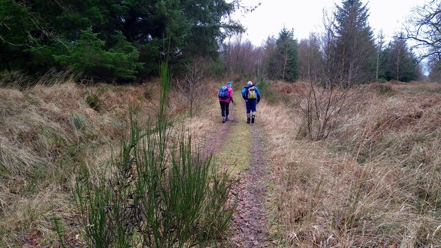
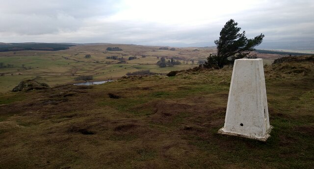
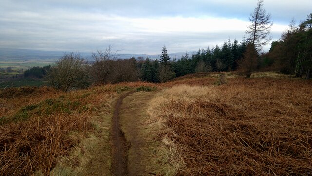
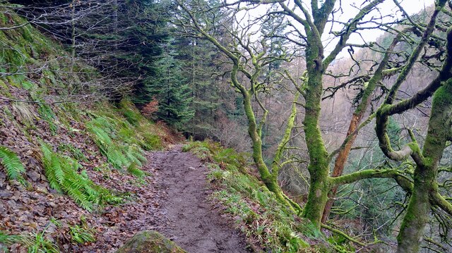
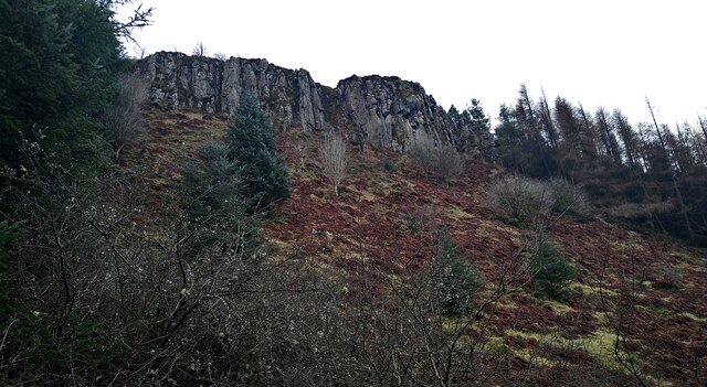
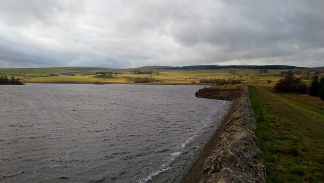
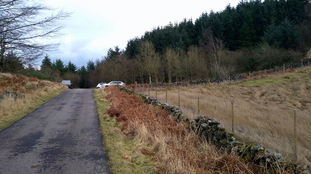
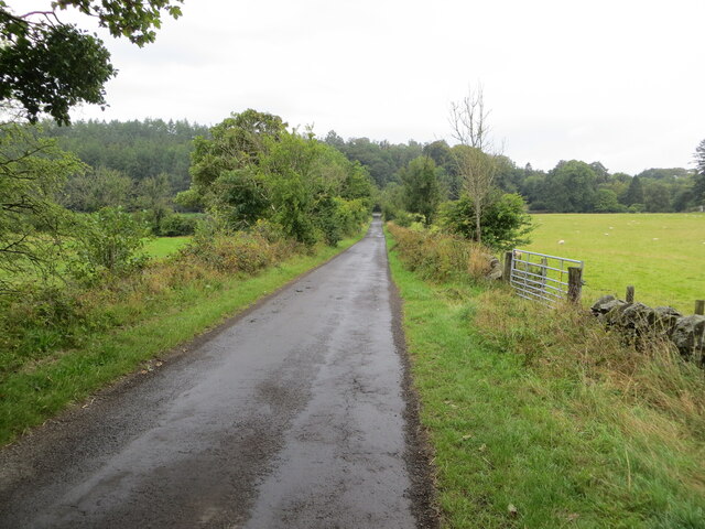
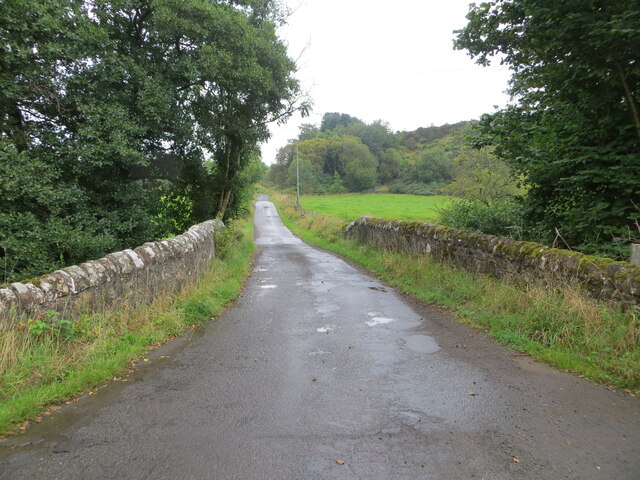
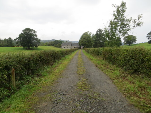
Old Sauchie is also known for its beautiful countryside, which provides ample opportunities for outdoor activities such as walking, hiking, and cycling. The village is surrounded by lush green fields, rolling hills, and scenic landscapes, making it an ideal destination for nature lovers.

Overall, Old Sauchie is a must-visit heritage site for those seeking to immerse themselves in Scotland's history and natural beauty. From its ancient tower to its historic church and stunning countryside, this village offers a glimpse into the past and a chance to connect with the country's rich cultural heritage.

If you have any feedback on the listing, please let us know in the comments section below.

Old Sauchie Images

Images are sourced within 2km of 56.073/-3.968 or Grid Reference NS7788. Thanks to Geograph Open Source API. All images are credited.

The start of the track to Old Sauchie Sadly marred by dumping and signs of tyre burning.  While the OS marks this as a track all the way to Old Sauchie, it deteriorates into a very poor and boggy path after 100 metres or so.
The start of the track to Old Sauchie
Sadly marred by dumping and signs of tyre burning. While the OS marks this as a track all the way to Old Sauchie, it deteriorates into a very poor and boggy path after 100 metres or so.
The track to Old Sauchie This OS marked track varies between a decent track and a boggy faint path as it moves from the single track road in the west and Old Sauchie.
The track to Old Sauchie
This OS marked track varies between a decent track and a boggy faint path as it moves from the single track road in the west and Old Sauchie.
Track through the fields from Old Sauchie
The track from Old Sauchie
Track junction near Old Sauchie
The approach to Old Sauchie
The Great Hall at Old Sauchie "Great Hall" is how the OS describes this fine building.
The Great Hall at Old Sauchie
"Great Hall" is how the OS describes this fine building.
The path from Old Sauchie to Lewis Hill At time of visit the gates on the track at NS7780 8849 were locked by the landowner, complicating access to this route.
The path from Old Sauchie to Lewis Hill
At time of visit the gates on the track at NS7780 8849 were locked by the landowner, complicating access to this route.
Walkers on the track to the Lewis Hill trigpoint
The Lewis Hill trig point The waters of the North Third Reservoir just showing to the left.
The Lewis Hill trig point
The waters of the North Third Reservoir just showing to the left.
The path along the top of Sauchie Craig
Path on the steep descent from Sauchie Craig to Windy Yet Glen
Looking up to the cliffs of Sauchie Craig
Earth dam at North Third Reservoir The water level appears to be fairly low.
Earth dam at North Third Reservoir
The water level appears to be fairly low.
Approaching Weatherlaw Wood The single-track road eventually will bring us back to Stirling.
Approaching Weatherlaw Wood
The single-track road eventually will bring us back to Stirling.
Minor road between Kingsburgh and Craigend Looking south-westward.
Minor road between Kingsburgh and Craigend
Looking south-westward.
Minor road and bridge crossing a small burn near to Milnholm Looking south-eastward.
Minor road and bridge crossing a small burn near to Milnholm
Looking south-eastward.
Hedge-lined track giving access to Old Sauchie Mill and Cottages Looking north-westward.
Hedge-lined track giving access to Old Sauchie Mill and Cottages
Looking north-westward.
Show me another place!

Old Sauchie is located at Grid Ref: NS7788 (Lat: 56.073, Lng: -3.968)

What 3 Words

///outgrown.recording.clutter. Near Bannockburn, Stirling

Nearby Locations

Old Sauchie

Related Wikis

Howietoun Fishery

Howietoun Fishery was created by Sir James Ramsay Gibson Maitland; it is a Victorian fish farm that specialised in the study of trout and salmon farming...

Auchenbowie House

Auchenbowie House is a laird's house (mansion) in Stirling, Scotland. The location is about 3.5 miles (5.6 km) south of Stirling, on minor road west of...

Gillies Hill

Gillies Hill is located west of Stirling and the M9, south of Cambusbarron, and north of the Bannock Burn in Central Scotland. Gillies Hill covers a 140...

Stirling services

Stirling services is a motorway service station near Stirling, Scotland. The service station is located where the M9 motorway and M80 motorway join. It...

Nearby Amenities

Located within 500m of 56.073,-3.968
Power: pole
Lat/Long: 56.0703364/-3.961625
Power: pole
Lat/Long: 56.0709843/-3.9671107
Power: pole
Lat/Long: 56.0713949/-3.9663438
Power: pole
Lat/Long: 56.0718814/-3.9653778
The data included in this document is from www.openstreetmap.org. The data is made available under ODbL.

Have you been to Old Sauchie?

Leave your review of Old Sauchie below (or comments, questions and feedback).