Old Gwernyfed
Heritage Site in Brecknockshire
Wales
Old Gwernyfed

Old Gwernyfed, located in the county of Brecknockshire in Wales, is a historic heritage site of significant cultural and architectural importance. Situated in the heart of the Brecon Beacons National Park, this ancient site has a rich history that dates back to the medieval period.
The main feature of Old Gwernyfed is its imposing castle, which was constructed in the 12th century by the de Lacy family. The castle originally served as a defensive stronghold, protecting the surrounding area from potential threats. Over the centuries, it underwent several modifications and expansions, transforming into a grand residence.
The architecture of the castle is a wonderful blend of Norman and Gothic styles. Its sturdy stone walls, imposing towers, and intricate carvings showcase the craftsmanship of the medieval period. Inside, visitors can explore the Great Hall, which still retains its original timber roof and medieval fireplace.
Surrounding the castle is a beautifully landscaped garden, adorned with vibrant flowers and ancient trees. The garden offers picturesque views of the rolling hills and tranquil countryside, providing a peaceful retreat for visitors.
Today, Old Gwernyfed is open to the public as a heritage site and welcomes visitors to explore its fascinating history. Guided tours are available, offering insights into the castle's historical significance and architectural features. The site also hosts various cultural events and exhibitions, allowing visitors to immerse themselves in the rich heritage of Brecknockshire.
Old Gwernyfed is a must-visit destination for history enthusiasts, offering a glimpse into the medieval past of Wales and the architectural splendor of the era.
If you have any feedback on the listing, please let us know in the comments section below.
Old Gwernyfed Images
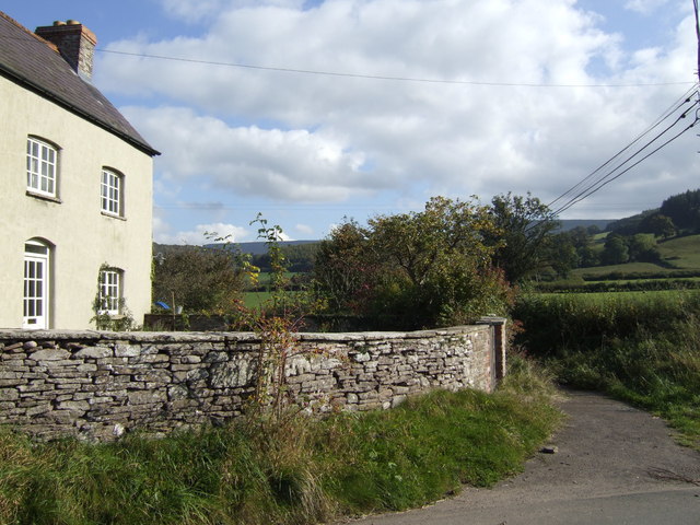
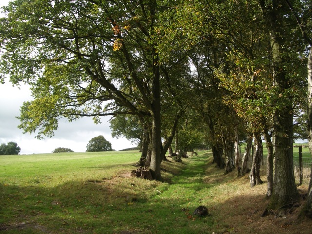
Images are sourced within 2km of 52.02/-3.188 or Grid Reference SO1836. Thanks to Geograph Open Source API. All images are credited.


Old Gwernyfed is located at Grid Ref: SO1836 (Lat: 52.02, Lng: -3.188)
Unitary Authority: Powys
Police Authority: Dyfed Powys
What 3 Words
///clings.stems.tinted. Near Talgarth, Powys
Nearby Locations
Related Wikis
Gwernyfed
Gwernyfed is a community in Powys, Wales, centred on the village of Aberllynfi. It takes its name from Gwernyfed Park, a medieval deer park within the...
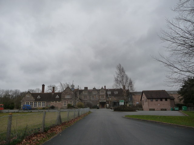
Gwernyfed High School
Gwernyfed High School is a high school in the village of Three Cocks, Brecon, Powys, Wales. The school is an English-medium school educating students between...

Afon Llynfi (Wye)
The Afon Llynfi is a short river in the county of Powys, south Wales. A tributary of the River Wye, it runs approximately south to north just to the west...
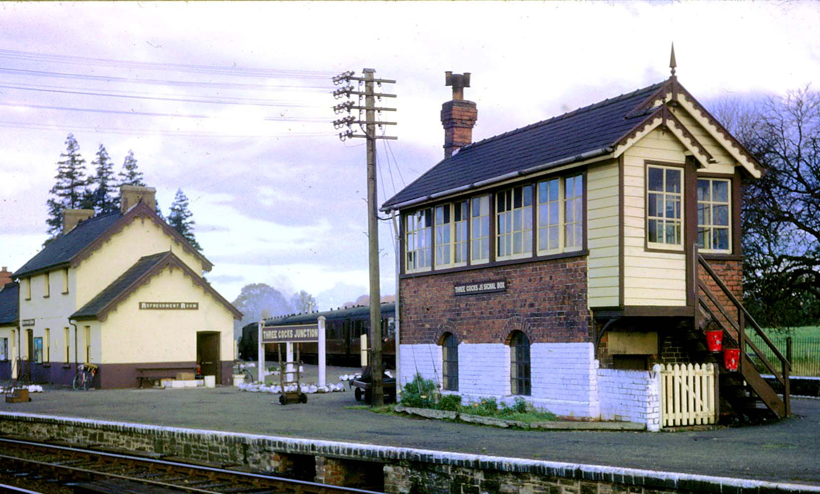
Three Cocks Junction railway station
Three Cocks Junction railway station (colloquially as Lucky Man Junction) was a station in Three Cocks, Powys, Wales. The station closed in 1962. The station...
Nearby Amenities
Located within 500m of 52.02,-3.188Have you been to Old Gwernyfed?
Leave your review of Old Gwernyfed below (or comments, questions and feedback).