Felindre
Settlement in Brecknockshire
Wales
Felindre

The requested URL returned error: 429 Too Many Requests
If you have any feedback on the listing, please let us know in the comments section below.
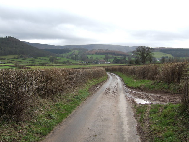
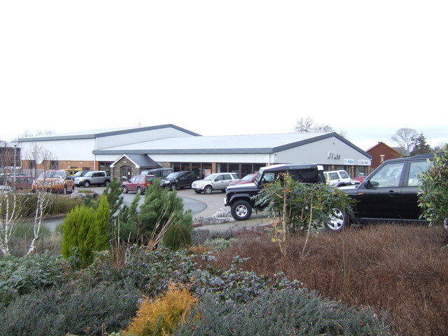
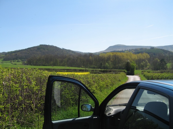
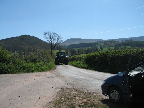
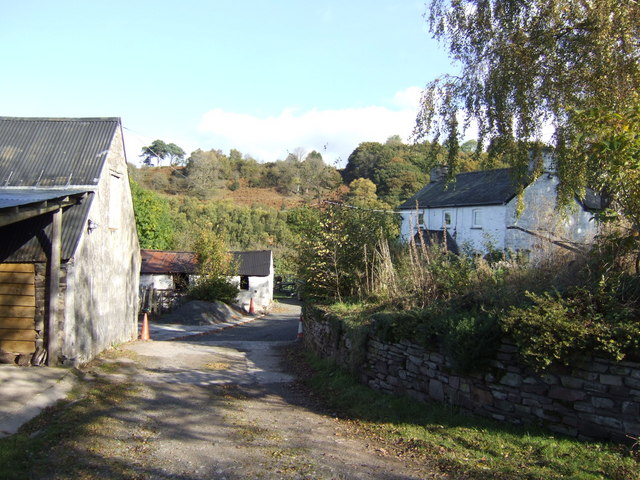
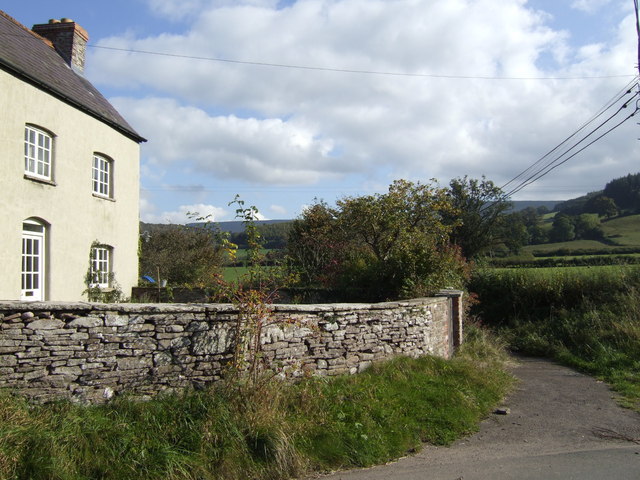
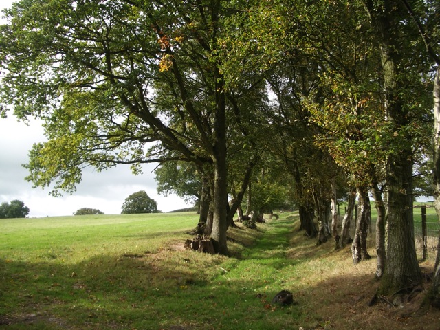
Felindre Images
Images are sourced within 2km of 52.022618/-3.185563 or Grid Reference SO1836. Thanks to Geograph Open Source API. All images are credited.


Felindre is located at Grid Ref: SO1836 (Lat: 52.022618, Lng: -3.185563)
Unitary Authority: Powys
Police Authority: Dyfed Powys
Also known as: Velindre
What 3 Words
///puffed.remarried.palettes. Near Talgarth, Powys
Nearby Locations
Related Wikis
Gwernyfed
Gwernyfed is a community in Powys, Wales, centred on the village of Aberllynfi. It takes its name from Gwernyfed Park, a medieval deer park within the...
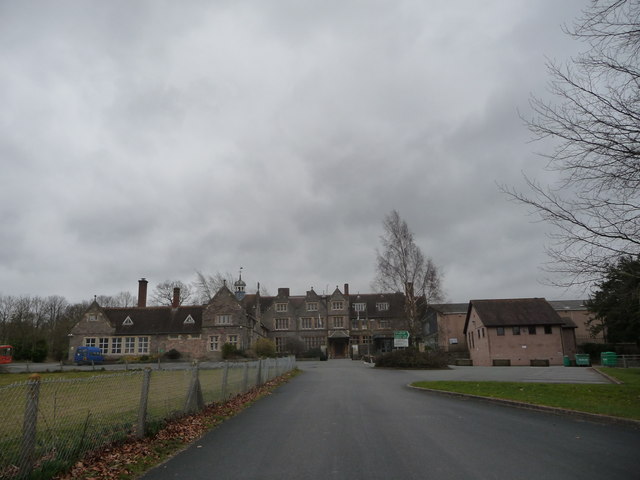
Gwernyfed High School
Gwernyfed High School is a high school in the village of Three Cocks, Brecon, Powys, Wales. The school is an English-medium school educating students between...

Afon Llynfi (Wye)
The Afon Llynfi is a short river in the county of Powys, south Wales. A tributary of the River Wye, it runs approximately south to north just to the west...
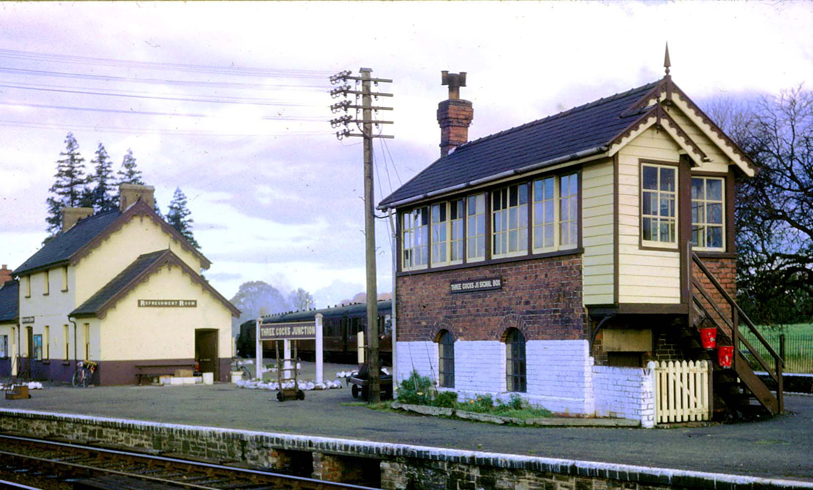
Three Cocks Junction railway station
Three Cocks Junction railway station (colloquially as Lucky Man Junction) was a station in Three Cocks, Powys, Wales. The station closed in 1962. The station...
Nearby Amenities
Located within 500m of 52.022618,-3.185563Have you been to Felindre?
Leave your review of Felindre below (or comments, questions and feedback).