Ogbury
Heritage Site in Wiltshire
England
Ogbury
Ogbury, located in the county of Wiltshire, England, is a renowned heritage site that holds immense historical significance. Situated near the village of Ogbourne St. Andrew, it is a well-preserved Iron Age hillfort that dates back to the late Bronze Age, approximately 2500 years ago.
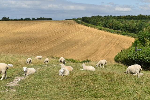
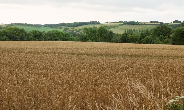
The hillfort at Ogbury covers an area of approximately 5 hectares and is surrounded by impressive earthworks and ramparts. It is believed to have been occupied during the Iron Age by a community of people who sought refuge within its walls. The fortifications consist of a series of ditches and banks, which were strategically designed to defend the inhabitants from potential attackers.
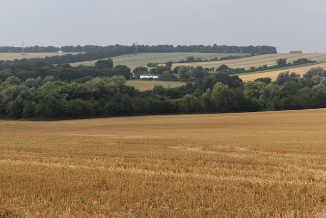
Archaeological excavations carried out at Ogbury have revealed numerous artifacts that provide insight into the daily lives of the Iron Age people who resided here. These findings include pottery fragments, tools, and evidence of metalworking activities. The hillfort's location atop a prominent hill also offers breathtaking views of the surrounding countryside, adding to its allure.
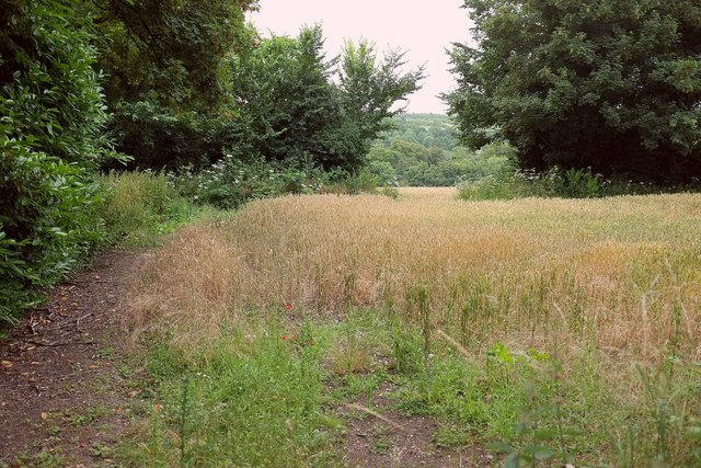
Today, Ogbury is a popular destination for history enthusiasts, archaeologists, and tourists alike. It offers visitors a chance to explore and appreciate the rich cultural heritage of the region. The site is open to the public, and there are information boards and guided tours available to provide a deeper understanding of its historical significance.
Ogbury stands as a testament to the ingenuity and resourcefulness of the Iron Age people, providing a glimpse into their way of life and the challenges they faced. It serves as a valuable educational resource and a reminder of the enduring legacy of our ancestors.
If you have any feedback on the listing, please let us know in the comments section below.
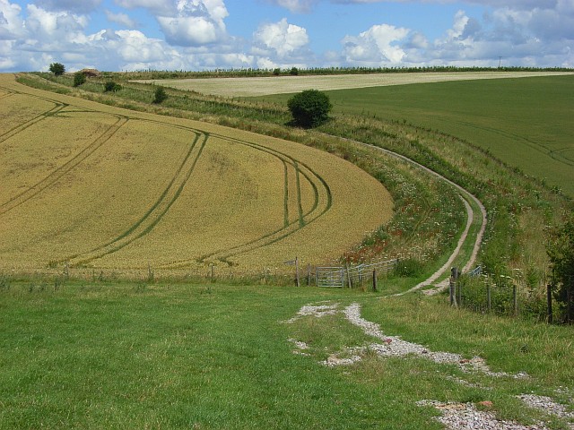
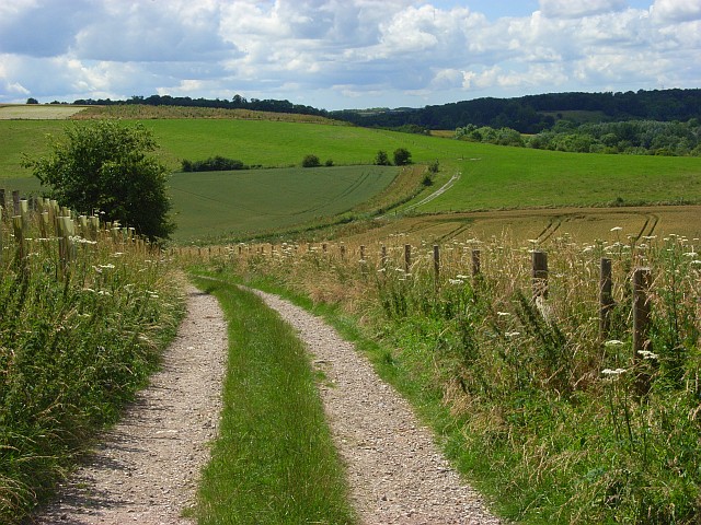
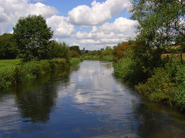
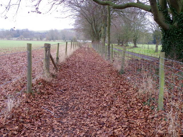
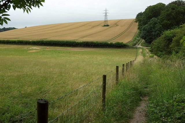
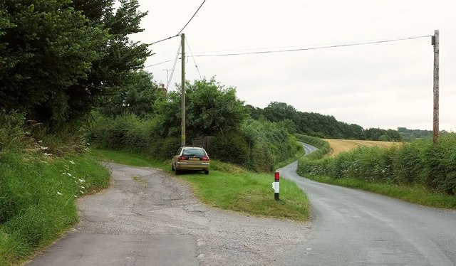
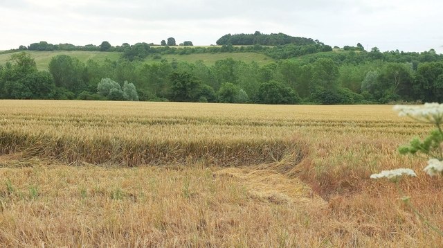
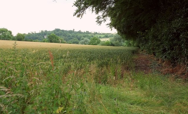
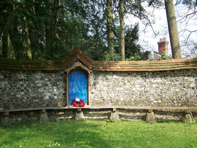
Ogbury Images
Images are sourced within 2km of 51.145/-1.792 or Grid Reference SU1438. Thanks to Geograph Open Source API. All images are credited.


Ogbury is located at Grid Ref: SU1438 (Lat: 51.145, Lng: -1.792)
Unitary Authority: Wiltshire
Police Authority: Wiltshire
What 3 Words
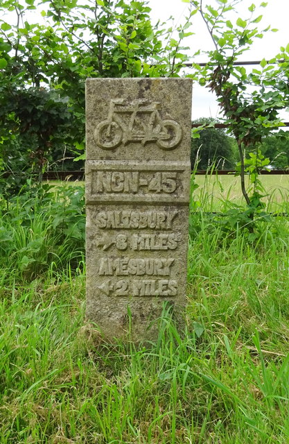
///decks.hospitals.sprinkler. Near Durnford, Wiltshire
Nearby Locations
Related Wikis
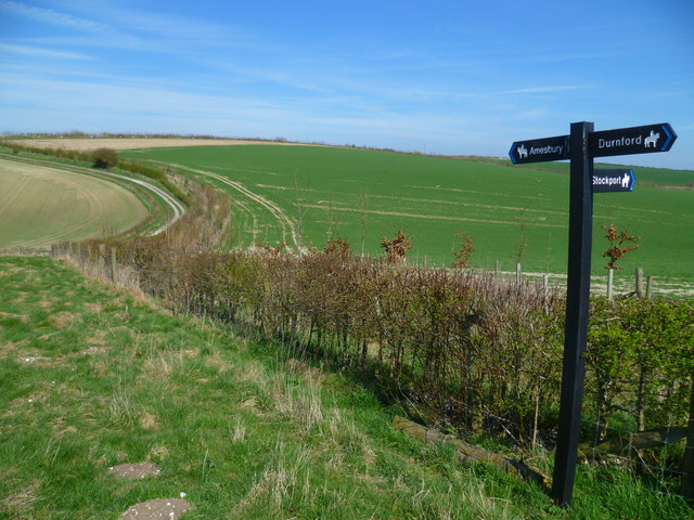
Durnford, Wiltshire
Durnford is a civil parish in Wiltshire, England, between Salisbury and Amesbury. It lies in the Woodford Valley and is bounded to the west by the Salisbury...

Lake House
Lake House is an Elizabethan country house dating from 1578, in Wilsford cum Lake in Wiltshire, England, about seven miles north of Salisbury. It is a...

Salisbury Plain
Salisbury Plain is a chalk plateau in southern England covering 300 square miles (780 km2). It is part of a system of chalk downlands throughout eastern...
Wilsford cum Lake
Wilsford cum Lake is a civil parish in the Woodford valley in Wiltshire, England. The parish is bounded to the east by the Salisbury Avon and contains...

Woodford, Wiltshire
Woodford is a civil parish in southern-central Wiltshire, England, on the west bank of the Salisbury Avon, about 4 miles (6 km) north of Salisbury. Its...
Bluestonehenge
Bluestonehenge or Bluehenge (also known as West Amesbury Henge) is a prehistoric henge and stone circle monument that was discovered by the Stonehenge...

Amesbury Abbey
Amesbury Abbey was a Benedictine abbey of women at Amesbury in Wiltshire, England, founded by Queen Ælfthryth in about the year 979 on what may have been...

Church of St Mary and St Melor, Amesbury
The Church of St Mary and St Melor is the parish church of the town of Amesbury, Wiltshire. The Grade I listed church dates from the 12th century and may...
Nearby Amenities
Located within 500m of 51.145,-1.792Have you been to Ogbury?
Leave your review of Ogbury below (or comments, questions and feedback).