Offerton Hall
Heritage Site in Derbyshire
England
Offerton Hall

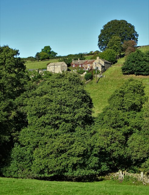
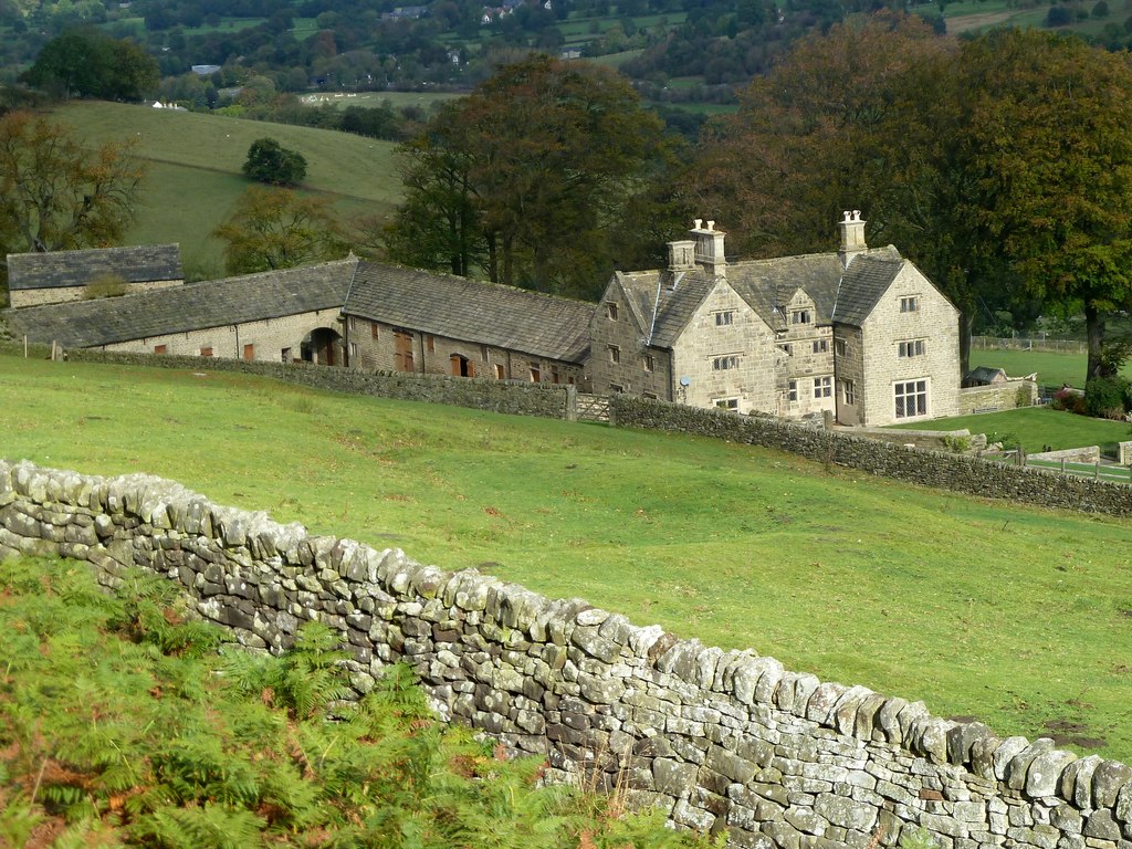
Offerton Hall is a historic manor house located in the picturesque village of Offerton, Derbyshire, England. Dating back to the 16th century, the hall is a fine example of Elizabethan architecture and is designated as a Grade II* listed building, recognizing its significance and historical value.
The hall was originally built by the influential Vernon family, who were prominent landowners in the area. It features a distinctive timber-framed structure with a stone base and a steeply pitched roof. The exterior is adorned with decorative gables, mullion windows, and a grand entrance porch, showcasing the craftsmanship of the era.
Inside, visitors can explore the hall's well-preserved interiors, which include oak-paneled rooms, ornate plasterwork ceilings, and intricate stone fireplaces. The Great Hall stands out with its impressive timber roof, a testament to the hall's grandeur and the social status of its former inhabitants.
Surrounded by beautifully landscaped gardens and a moat, Offerton Hall offers a serene and tranquil setting. The gardens feature manicured lawns, flower beds, and a variety of trees, providing a charming backdrop for visitors to enjoy.
Throughout its history, Offerton Hall has undergone several modifications and renovations, notably in the 19th century when it was restored by renowned architect George Devey. Today, the hall is privately owned and not open to the public. However, its exterior can still be admired from the road, offering a glimpse into the rich heritage of the area and the architectural splendor of the Elizabethan era.
If you have any feedback on the listing, please let us know in the comments section below.
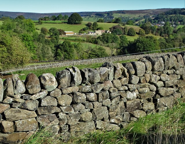
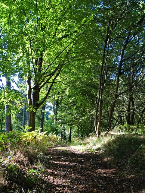
Offerton Hall Images
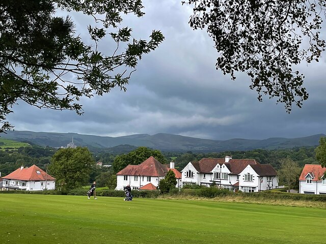
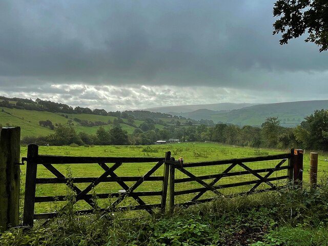
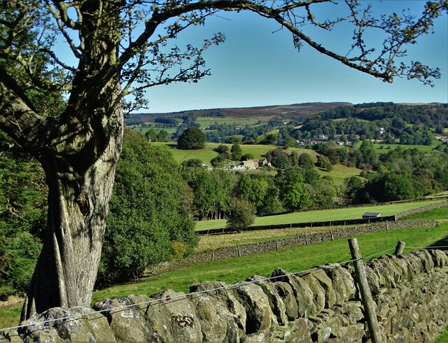
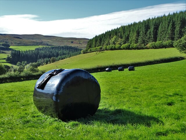
Images are sourced within 2km of 53.33/-1.677 or Grid Reference SK2181. Thanks to Geograph Open Source API. All images are credited.


Offerton Hall is located at Grid Ref: SK2181 (Lat: 53.33, Lng: -1.677)
Police Authority: Derbyshire
What 3 Words
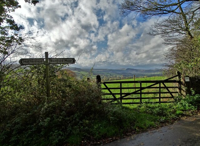
///crowns.corrode.ample. Near Hathersage, Derbyshire
Nearby Locations
Related Wikis
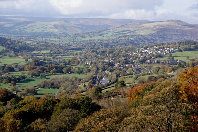
Offerton, Derbyshire
Offerton is a hamlet and civil parish in the Derbyshire Dales district, in Derbyshire, England. It lies on the River Derwent. The village features Offerton...

Hathersage
Hathersage ( HATHə-sidge) is a village and civil parish in the Peak District in Derbyshire, England. It lies slightly to the north of the River Derwent...
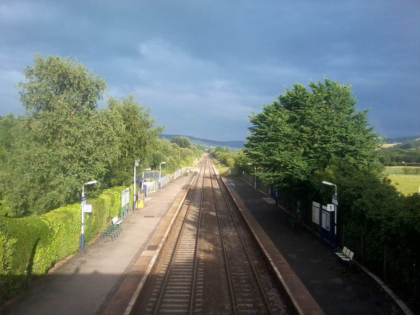
Bamford railway station
Bamford railway station serves the village of Bamford in the Derbyshire Peak District, in England and is managed by Northern Trains. It is located 13 miles...
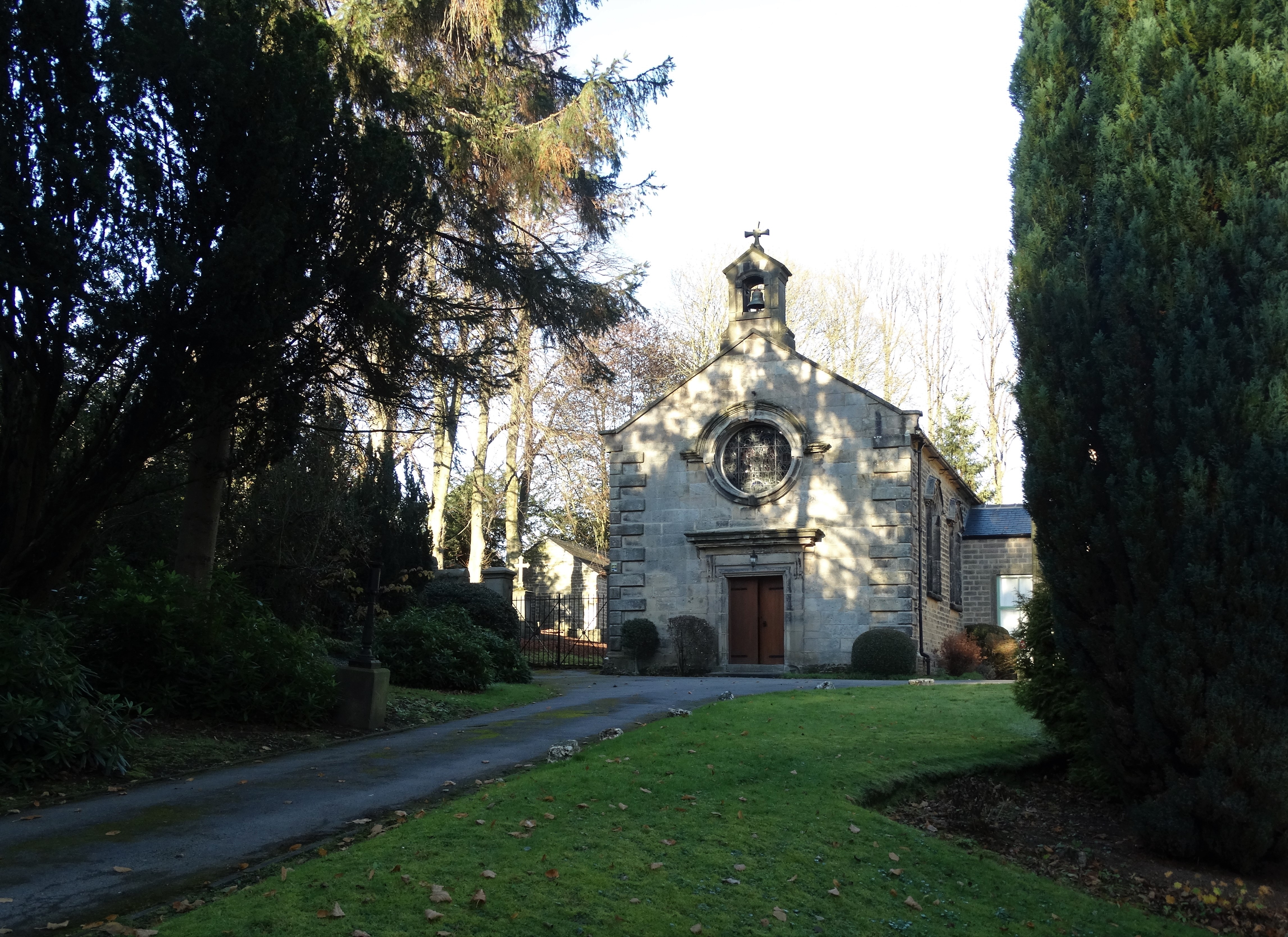
St Michael the Archangel Roman Catholic Church, Hathersage
St Michael the Archangel Roman Catholic Church, Hathersage is a Grade II* listed Roman Catholic church in Hathersage, Derbyshire.The building dates back...
Related Videos

5km solo sunrise hike in the Peak District #mamtor #hiking #peakdistrict #mamtorsunrise #solohike
I decided to watch the sunrise over mam tor. Waking up at 4am was a struggle but 100% worth it for this incredible view! Hope you ...
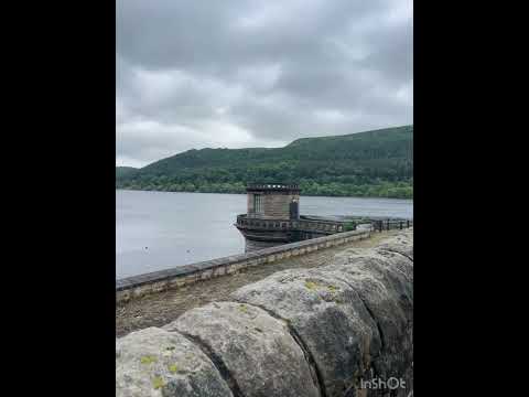

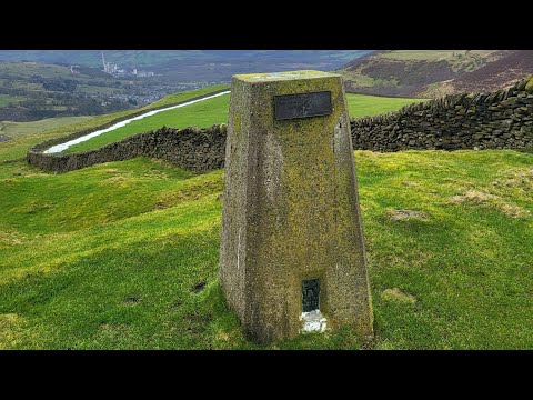
Abney Moor #peakdistrict #summit #nature #trig #photography #travel #hiking
Abney Moor Trig #peakdistrict #summit #nature #trig #photography.
Nearby Amenities
Located within 500m of 53.33,-1.677Have you been to Offerton Hall?
Leave your review of Offerton Hall below (or comments, questions and feedback).