Nunnington Hall
Heritage Site in Yorkshire Ryedale
England
Nunnington Hall
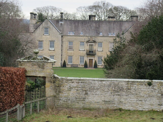
Nunnington Hall is a historic country house located in the picturesque village of Nunnington, North Yorkshire, England. This stunning heritage site dates back to the 17th century and is nestled within a beautiful landscape, offering visitors a glimpse into the region's rich history and architectural beauty.
The hall itself is an outstanding example of a traditional English manor house, featuring a striking mix of architectural styles, including medieval and Jacobean influences. Built from local stone, it boasts a charming red-brick façade, mullioned windows, and a steeply pitched roof, which adds to its overall grandeur.
Inside, the hall showcases a range of period rooms, each meticulously restored to reflect different eras and styles. Visitors can explore the opulent Long Gallery, adorned with magnificent tapestries and antique furniture, as well as the elegant drawing room and dining room, which boast intricate plasterwork and original fireplaces. The hall also houses an extensive collection of fine art and historic artifacts, including portraits, ceramics, and textiles.
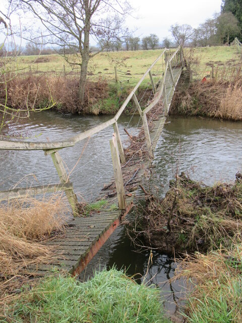
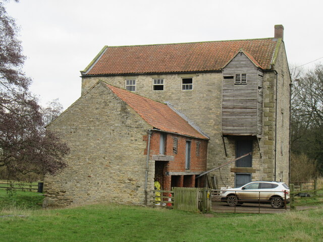
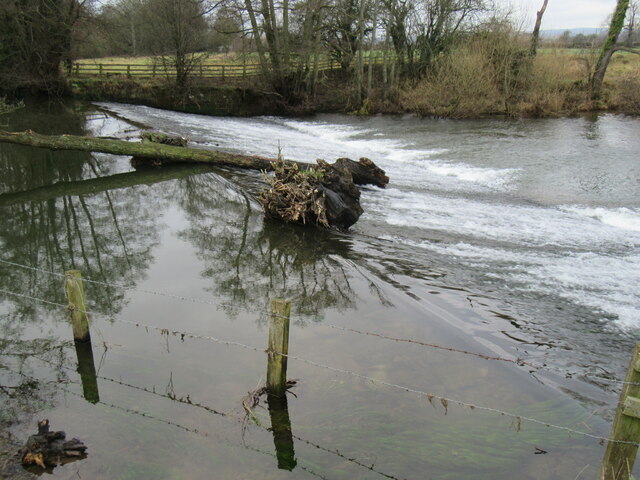
The beautiful walled gardens surrounding Nunnington Hall are a must-see attraction. Here, visitors can wander through colorful flower beds, immaculate lawns, and enjoy the tranquil ambience of the herbaceous borders. A picturesque river, complete with a watermill, runs alongside the gardens, providing a serene backdrop for a leisurely stroll or a picnic.
Nunnington Hall offers an array of activities and events throughout the year, including guided tours, craft workshops, and outdoor theater performances. With its rich history, stunning architecture, and idyllic surroundings, Nunnington Hall is a captivating destination for history enthusiasts, art lovers, and nature admirers alike.
If you have any feedback on the listing, please let us know in the comments section below.
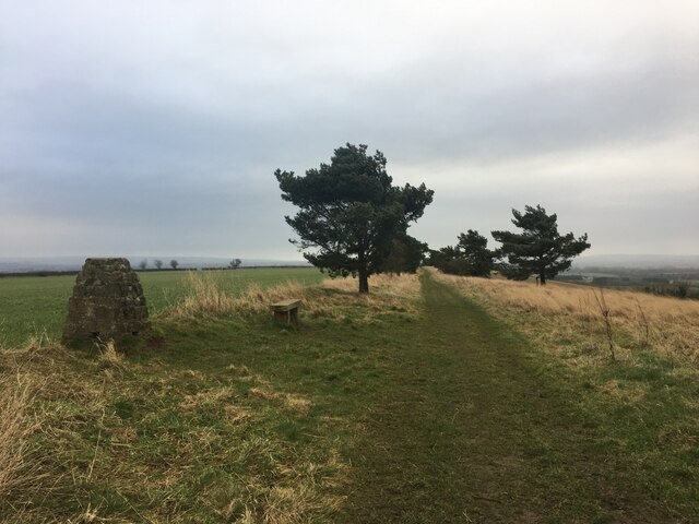
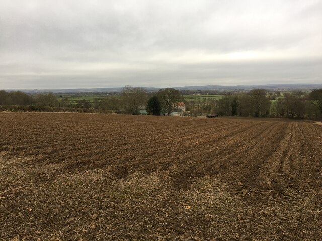
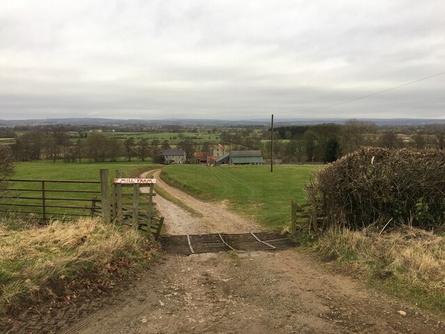
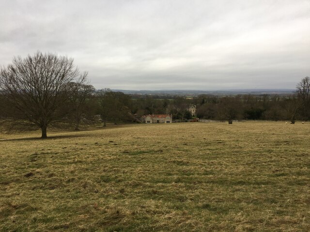
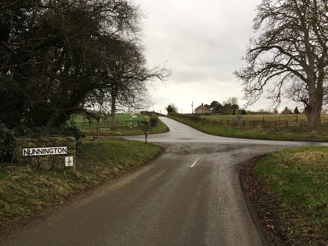
Nunnington Hall Images
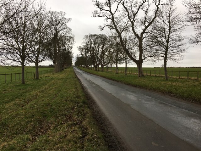
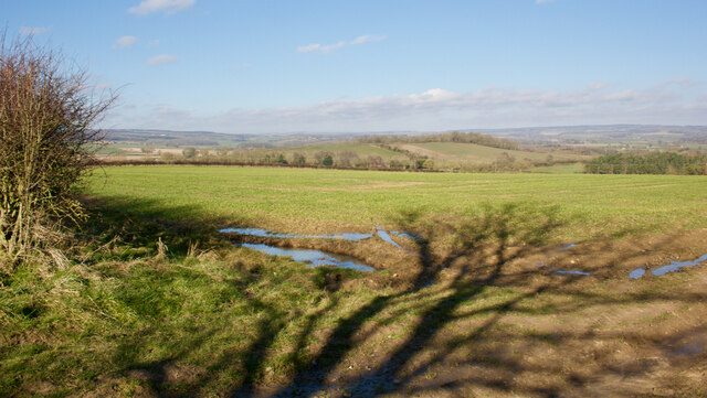
Images are sourced within 2km of 54.207/-0.974 or Grid Reference SE6779. Thanks to Geograph Open Source API. All images are credited.
Nunnington Hall is located at Grid Ref: SE6779 (Lat: 54.207, Lng: -0.974)
Division: North Riding
Administrative County: North Yorkshire
District: Ryedale
Police Authority: North Yorkshire
What 3 Words
///pursue.crusaders.tapes. Near Helmsley, North Yorkshire
Nearby Locations
Related Wikis

Nunnington Hall
Nunnington Hall is a country house situated in the English county of North Yorkshire. The river Rye, which gives its name to the local area, Ryedale, runs...

Nunnington
Nunnington is a village and civil parish in North Yorkshire, England. The River Rye runs through. Its population, including Stonegrave, taken at the 2011...

Muscoates
Muscoates is a hamlet and former civil parish, now in the parish of Nunnington, in North Yorkshire, England. It lies on the River Riccal, 4 miles (6 km...

Harome
Harome is a small village and civil parish in the Ryedale district of North Yorkshire, England, around 2 miles (3.2 km) south-east of the market town of...
Related Videos

Our visit to Fairy Woods
Outside York... Video taken by Sara Rushworth https://www.northwoodtrail.co.uk/
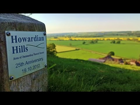
Holvingham & Nunnington, Howardian Hills - 5 June 2021
A 13.7 mile walk from Hovingham in the Howardian Hills. The route heads north towards Stonegrave and then crosses Caulkleys ...

Hovingham North Yorkshire Best place to live in England
Hovingham is situated within the Howardian Hills Area of Outstanding Natural Beauty in the Ryedale District of North Yorkshire, ...
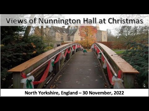
Views of Nunnington Hall at Christmas, North Yorkshire, England - 30 November, 2022
Views of Nunnington Hall at Christmas, North Yorkshire, England - 30 November, 2022: https://youtu.be/nmvKgqD5U7k .
Nearby Amenities
Located within 500m of 54.207,-0.974Have you been to Nunnington Hall?
Leave your review of Nunnington Hall below (or comments, questions and feedback).