Mullach Clach à Bhlàir

Heritage Site in Inverness-shire

Scotland

Mullach Clach à Bhlàir

Cairn on the summit plateau of Mullach Clach a' Bhlair
Cairn on the summit plateau of Mullach Clach a' Bhlair Credit: Steven Brown

Mullach Clach à Bhlàir, located in Inverness-shire, Scotland, is a significant heritage site renowned for its historical and cultural importance. This site, also known as the "Cairn of Blair," is an ancient burial mound dating back to the Neolithic period, approximately 4,000 to 6,000 years ago.

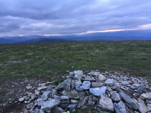
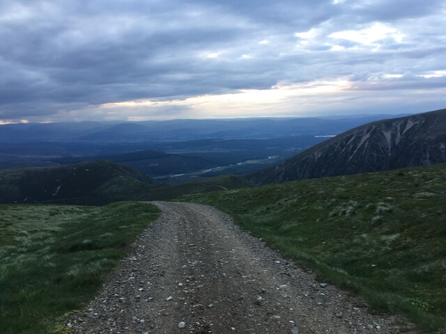
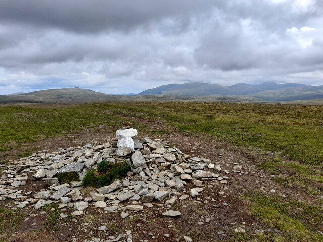
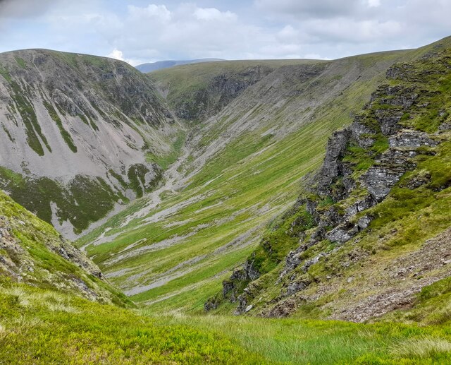
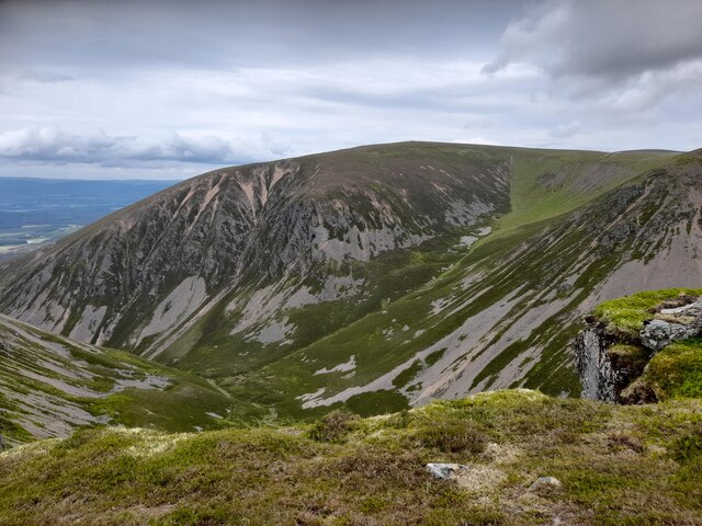
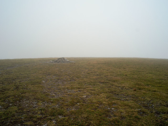
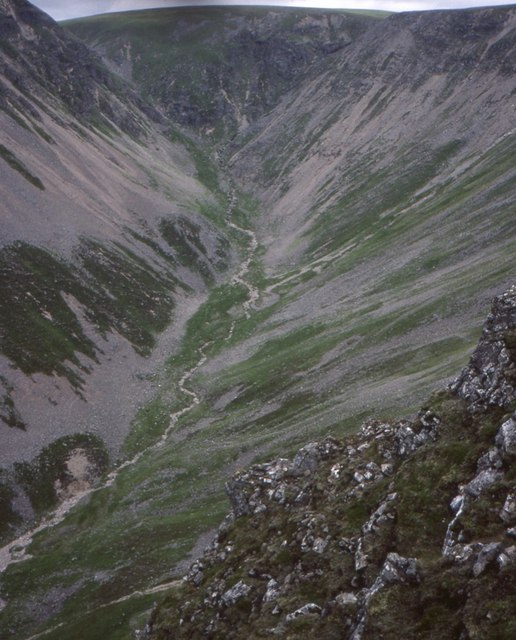
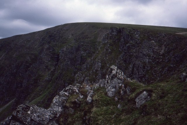
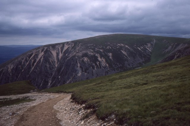
The cairn stands atop a hill, offering breathtaking views of the surrounding landscape. It is constructed using large stones, carefully arranged to form a circular structure with a diameter of about 50 feet. The cairn is approximately 12 feet high, and its exterior is covered in vegetation, giving it a natural and rustic appearance.

Excavations carried out in the mid-20th century unearthed a series of burial chambers within the cairn. These chambers revealed human remains, pottery, and various artifacts, shedding light on the burial practices and customs of the Neolithic people who inhabited the area.

Mullach Clach à Bhlàir is recognized as an important archaeological site, providing valuable insights into Scotland's prehistoric past. It is also considered a sacred place by some, with local folklore and legends surrounding the cairn.

The site is open to the public, allowing visitors to explore its ancient chambers and soak in the stunning panoramic views. Interpretative panels provide detailed information about the history and significance of Mullach Clach à Bhlàir, enhancing the visitor experience.

Mullach Clach à Bhlàir is a remarkable heritage site, offering a glimpse into Scotland's ancient past and captivating visitors with its beauty and historical significance.

If you have any feedback on the listing, please let us know in the comments section below.

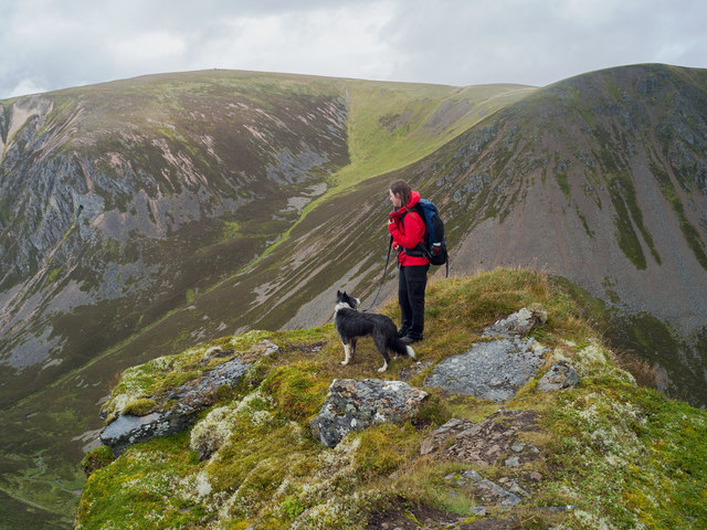
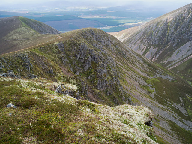
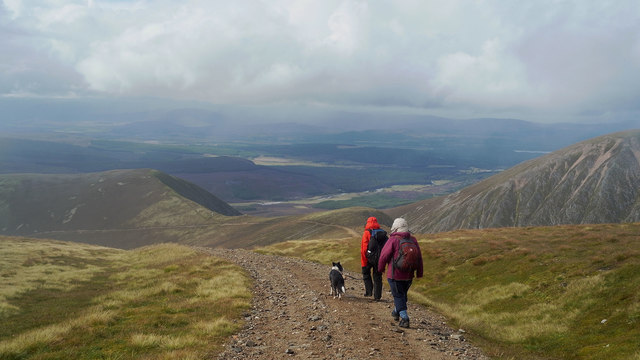
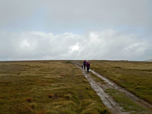
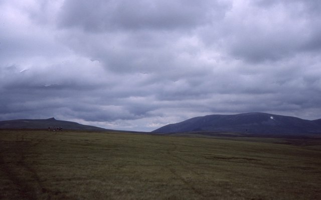
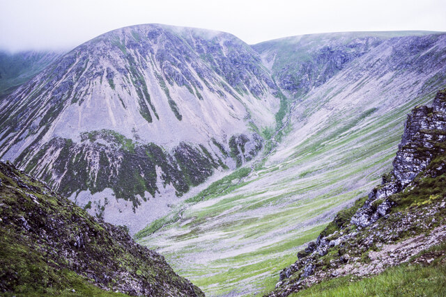
Mullach Clach à Bhlàir Images

Images are sourced within 2km of 57.01/-3.837 or Grid Reference NN8892. Thanks to Geograph Open Source API. All images are credited.

Cairn on the summit plateau of Mullach Clach a' Bhlair
Track high above Glen Feshie
Moine Mhor Cotton grass in flower at this time of year.
Moine Mhor
Cotton grass in flower at this time of year.
Ford on Moine Mhor A small burn easily forded on the Moine Mhor.
Ford on Moine Mhor
A small burn easily forded on the Moine Mhor.
Summit Cairn, Mullach Clach a Bhlair The summit cairn of this Munro in the Cairngorms.
Summit Cairn, Mullach Clach a Bhlair
The summit cairn of this Munro in the Cairngorms.
Coire Garbhlach
Coire Garbhlach
Coire Garbhlach
Coire Garbhlach
Cloud over Coire Garbhlach The bulldozed road passes close to the steep escarpment of Coire Garbhlach.
Cloud over Coire Garbhlach
The bulldozed road passes close to the steep escarpment of Coire Garbhlach.
Taking in the view of Coire Garbhlach A small promontory on the ridge beside the Land Rover track
Taking in the view of Coire Garbhlach
A small promontory on the ridge beside the Land Rover track
The rim of Coire Garbhlach GPS located to be within the Grid Square - by 17 m - exceeding the potential uncertainty of a position on my Garmin GPS.
The rim of Coire Garbhlach
GPS located to be within the Grid Square - by 17 m - exceeding the potential uncertainty of a position on my Garmin GPS.
Descending from Moine Mhor Beneath cloud level and a vista ahead. The bulldozed track can be seen for miles on its even descent to Glen Feshie.
Descending from Moine Mhor
Beneath cloud level and a vista ahead. The bulldozed track can be seen for miles on its even descent to Glen Feshie.
The plateau close to Mullach Clach a Bhlair A mountain expedition that benefits from a route along a bulldozed Land Rover track.
The plateau close to Mullach Clach a Bhlair
A mountain expedition that benefits from a route along a bulldozed Land Rover track.
Summit cairn of Mullach Clach a Bhlair What could be more in keeping with the topography?  A flattened cairn on the flattest of pimples on a flat plateau.  Perhaps the cairn has been modified by heavy winter snow!
Summit cairn of Mullach Clach a Bhlair
What could be more in keeping with the topography? A flattened cairn on the flattest of pimples on a flat plateau. Perhaps the cairn has been modified by heavy winter snow!
Coire Garbhlach Not your usual corrie, but a striking box canyon in the side of Glen Feshie.
Coire Garbhlach
Not your usual corrie, but a striking box canyon in the side of Glen Feshie.
Crags, Coire Garbhlach The abrupt end of the plateau at the curious and striking Coire Garbhlach canyon.
Crags, Coire Garbhlach
The abrupt end of the plateau at the curious and striking Coire Garbhlach canyon.
Road on Mullach Clach a' Blàir The notorious scar of a bulldozed road between Glen Feshie and the Moine Mhòr does have the side effect of speeding access to and from the plateau with good views of Coire Gharblach.  The hill on the other side of Garbhlach is Meall Dubhag, once a munro.
Road on Mullach Clach a' Blàir
The notorious scar of a bulldozed road between Glen Feshie and the Moine Mhòr does have the side effect of speeding access to and from the plateau with good views of Coire Gharblach. The hill on the other side of Garbhlach is Meall Dubhag, once a munro.
Moine Mhòr, Mullach Clach a' Bhlàir The plateau above Glen Feshie with Sgòr Gaoith and Braigh Riabhach (big) in the distance.
Moine Mhòr, Mullach Clach a' Bhlàir
The plateau above Glen Feshie with Sgòr Gaoith and Braigh Riabhach (big) in the distance.
Rocks at gully head overlooking Coire Garbhlach The view across the head of the corrie from a gully head on its south side where there runs a hill road.
The hill domes across the corrie each rise to around 950 m. beyond which, unseen in the image, easy ground continues to Carn Bàn Mòr.
Rocks at gully head overlooking Coire Garbhlach
The view across the head of the corrie from a gully head on its south side where there runs a hill road. The hill domes across the corrie each rise to around 950 m. beyond which, unseen in the image, easy ground continues to Carn Bàn Mòr.
Show me another place!

Mullach Clach à Bhlàir is located at Grid Ref: NN8892 (Lat: 57.01, Lng: -3.837)

Unitary Authority: Highland

Police Authority: Highlands and Islands

What 3 Words

///otter.lightly.likewise. Near Kingussie, Highland

Related Wikis

Mullach Clach a' Bhlàir

Mullach Clach a' Bhlàir or Meall Tional is a Munro in the Cairngorm mountain range of Scotland. == Sources ==

Battle of Craig Cailloch

The Battle of Craig Cailloch was a Scottish clan battle fought in 1441 between the Clan Cameron and Clan Mackintosh (who were part of the Chattan Confederation...

Monadh Mòr

Monadh Mòr (Scottish Gaelic: Big Hill) is a mountain in the Cairngorms region of the Highlands of Scotland. A pass connects it with Beinn Bhrotain. �...

Falls of Dee

Falls of Dee is a waterfall on Braeriach in the Cairngorms, Scotland. == See also == Waterfalls of Scotland == References ==

Related Videos

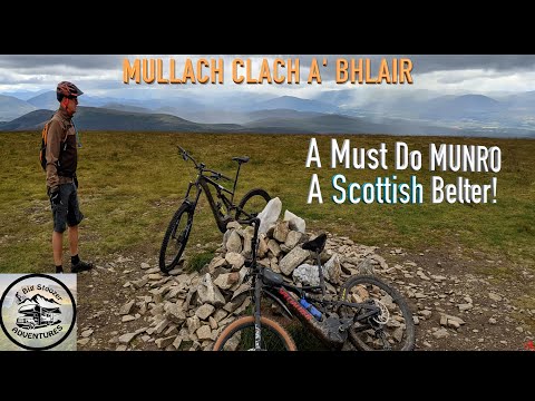
Mullach Clach a'Bhlair Munros eMTB - TREK RAIL 5

Another great eMTB up 2 Munros at GlenFeshie - Mullach Clach a'Bhlair These 2 hils are ideally suited to bike as a lot of accent ...

GLORIOUS GLEN FESHIE. Mullach Clach a Bhlair. Munro mtb. Cairngorms mtb. Scottish Highlands. #mtb

GLEN FESHIE. Mullach Clach a Bhlair. Munro mtb. GPX ROUTES INCLUDED. #mtb Cairngorms National Park. Cairngorms ...

WE DID IT! Mullach Clach a Bhlair. Munro mtb. The Summit. Cairngorms mtb. Scottish Highlands.

Mullach Clach a Bhlair. Munro mtb. GPX ROUTES INCLUDED. Cairngorms National Park. Cairngorms mountain biking. Scottish ...

Mullach Clach a Bhlair. Munro mtb. Scottish Highlands Mountain Biking. Scotland mtb. #shorts

Mullach Clach a Bhlair. Munro mtb. 3343 feet. STRAVA - GPX ROUTES INCLUDED. #shorts Cairngorms National Park.

Nearby Amenities

Located within 500m of 57.01,-3.837
Mullach Clach a'Bhlair
Description: Summit of the stone of the plain
Ele: 1019
Munro: yes
Munro Number: M114
Natural: peak
Source: GPS survey
Source Name: NPE
Wikidata: Q19460443
Wikipedia: en:Mullach Clach a' Bhlàir
Lat/Long: 57.0119137/-3.8412449
Coire Bhlair
Place: locality
Source: OS7
Lat/Long: 57.00723/-3.8309609
The data included in this document is from www.openstreetmap.org. The data is made available under ODbL.

Have you been to Mullach Clach à Bhlàir?

Leave your review of Mullach Clach à Bhlàir below (or comments, questions and feedback).