Minsden Chapel
Heritage Site in Hertfordshire North Hertfordshire
England
Minsden Chapel
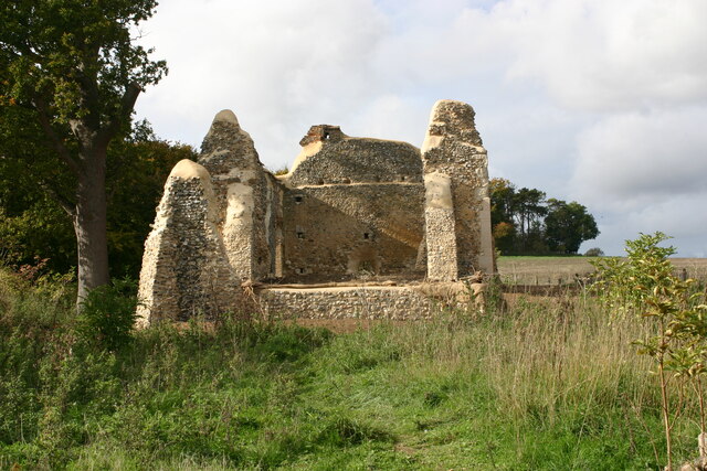
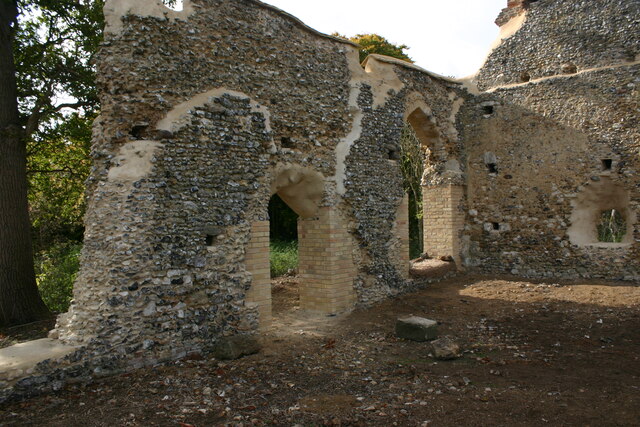
Minsden Chapel, located in Hertfordshire, England, is a historic site that has captured the imagination of locals and visitors alike. It is an atmospheric ruin, nestled amidst the rolling hills of the county, and holds a significant place in the region's architectural and cultural heritage.
The chapel, believed to have been originally constructed in the 14th century, served as a place of worship for the local community for several centuries. It was dedicated to St. Nicholas, the patron saint of sailors, and was known for its striking Gothic architecture.
Unfortunately, the chapel fell into disrepair over time and was eventually abandoned in the 18th century. Today, all that remains are the hauntingly beautiful ruins of the chapel, comprising a partially collapsed nave, remnants of an arched entrance, and fragments of stained glass windows.
Despite its dilapidated state, Minsden Chapel continues to attract visitors who are drawn to its eerie charm and rich history. Many tales and legends surround the site, including stories of ghostly apparitions and mysterious happenings. These legends, combined with the chapel's picturesque location, make it a popular spot for photographers, artists, and history enthusiasts.
Efforts have been made to preserve the ruins of Minsden Chapel, with ongoing restoration work taking place to ensure its longevity. The site is protected as a heritage asset, and visitors are advised to respect its historical significance and fragile state. Whether you visit for its architectural beauty or to explore the legends that surround it, Minsden Chapel offers a captivating glimpse into Hertfordshire's past.
If you have any feedback on the listing, please let us know in the comments section below.
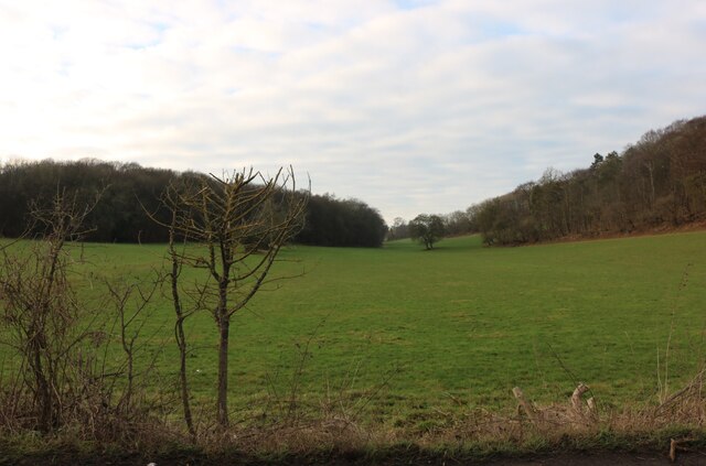
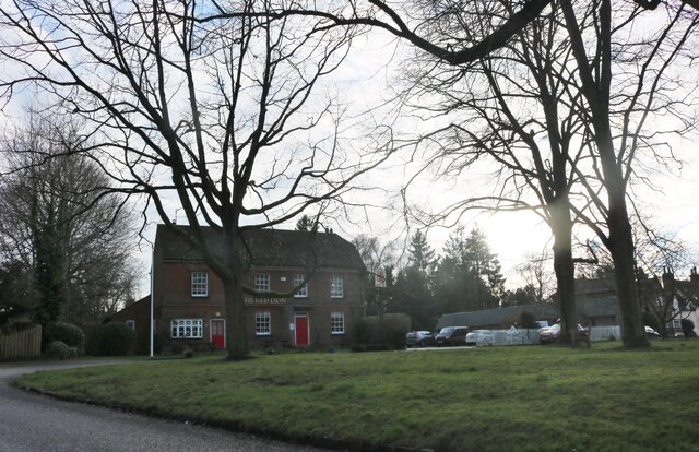
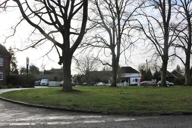
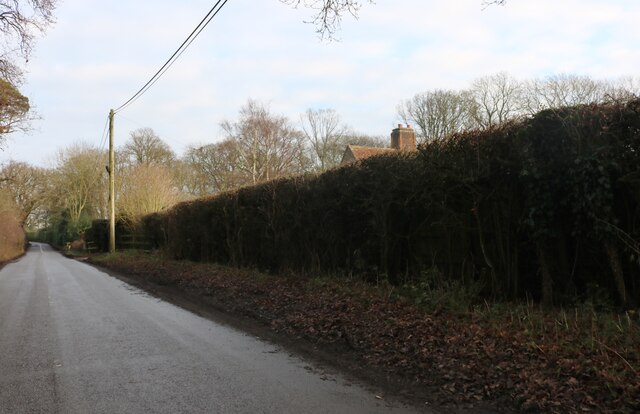
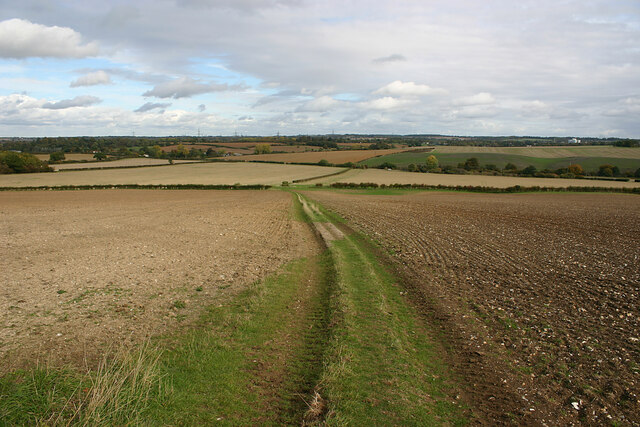
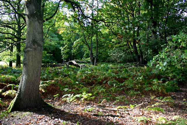
Minsden Chapel Images
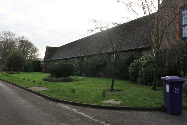
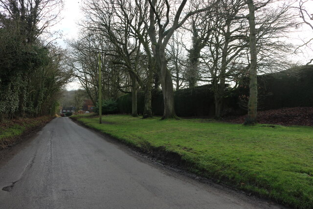
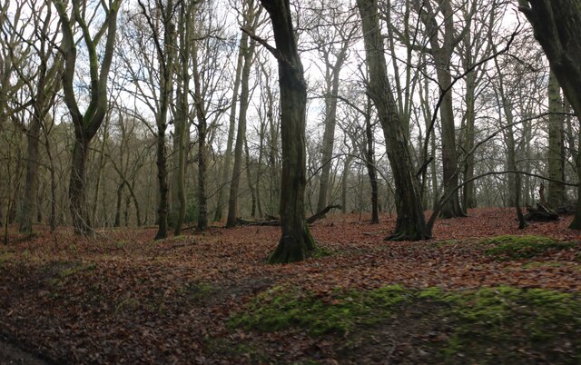
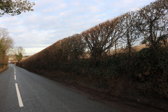
Images are sourced within 2km of 51.905/-0.263 or Grid Reference TL1924. Thanks to Geograph Open Source API. All images are credited.


Minsden Chapel is located at Grid Ref: TL1924 (Lat: 51.905, Lng: -0.263)
Administrative County: Hertfordshire
District: North Hertfordshire
Police Authority: Hertfordshire
What 3 Words
///drove.lion.apply. Near Stevenage, Hertfordshire
Nearby Locations
Related Wikis

Minsden Chapel
Minsden Chapel is an isolated ruined chapel in the fields above the hamlet of Chapelfoot, near Preston, Hertfordshire. Today it is a roofless shell, partly...

Hill End Pit
Hill End Pit (also called Hill End Farm Pit or Hitch Wood Pit) is a 0.7-hectare (1.7-acre) nature reserve on the site of a former chalk pit, in St Paul...

Princess Helena College
PHC was a co-educational independent day and boarding school for students aged 11 to 18 in Preston near Hitchin in Hertfordshire, England. The school was...

Preston, Hertfordshire
Preston is a village and civil parish about 3 miles (4.8 km) south of Hitchin in Hertfordshire, England. At the 2011 Census the population was 420.The...

Stagenhoe
Stagenhoe is a Grade II listed stately home and surrounding gardens located in the village of St Paul's Walden in Hertfordshire. It is approximately 6...

Wain Wood
Wain Wood is an ancient woodland extending to 19.2 hectares (47 acres) near Preston in North Hertfordshire. The site is a Site of Special Scientific Interest...

St Paul's Walden
St Paul's Walden is a village about 5 miles (8 km) south of Hitchin in Hertfordshire, England. The civil parish of St Paul's Walden also includes the village...
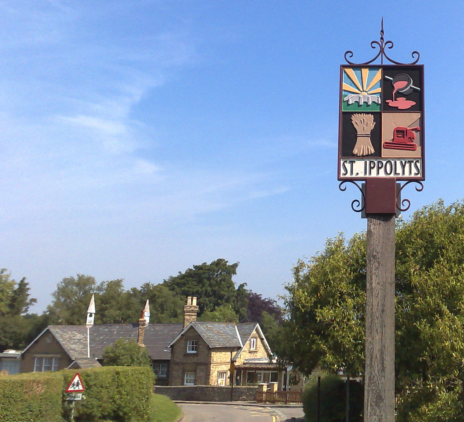
St Ippolyts
St Ippolyts (or St Ippollitts) is a village and civil parish on the southern edge of Hitchin in Hertfordshire, England. It has a population of approximately...
Nearby Amenities
Located within 500m of 51.905,-0.263Have you been to Minsden Chapel?
Leave your review of Minsden Chapel below (or comments, questions and feedback).