Mill Mound
Heritage Site in Somerset Somerset West and Taunton
England
Mill Mound

Mill Mound is a historic site located in Somerset, England. It is a designated heritage site due to its historical and cultural significance. The mound is believed to have been constructed during the Bronze Age, around 2000 BCE, making it over 4,000 years old.
The mound is situated on a slightly elevated area of land, offering panoramic views of the surrounding countryside. It measures approximately 15 meters in height and has a circular base with a diameter of about 50 meters. The mound is made up of layers of earth and stone, which were carefully piled up to create its distinctive shape.
The purpose of Mill Mound is still debated among archaeologists and historians. Some theories suggest that it may have been used as a burial mound, as human remains and pottery fragments have been found in the vicinity. Others argue that it could have served as a defensive structure or a ceremonial site for early communities in the area.
Today, Mill Mound is a popular tourist attraction and a testament to the ancient history of Somerset. Visitors can explore the site and learn about the region's early inhabitants. Interpretive signs provide information about the mound's construction, its possible uses, and the archaeological discoveries made in the area. The site is also surrounded by beautiful countryside, making it a picturesque spot for nature walks and picnics.
If you have any feedback on the listing, please let us know in the comments section below.
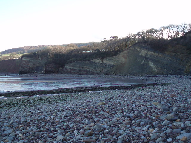
Mill Mound Images
Images are sourced within 2km of 51.183/-3.267 or Grid Reference ST1143. Thanks to Geograph Open Source API. All images are credited.


Mill Mound is located at Grid Ref: ST1143 (Lat: 51.183, Lng: -3.267)
Administrative County: Somerset
District: Somerset West and Taunton
Police Authority: Avon and Somerset
What 3 Words
///notices.mysteries.cracker. Near Williton, Somerset
Nearby Locations
Related Wikis

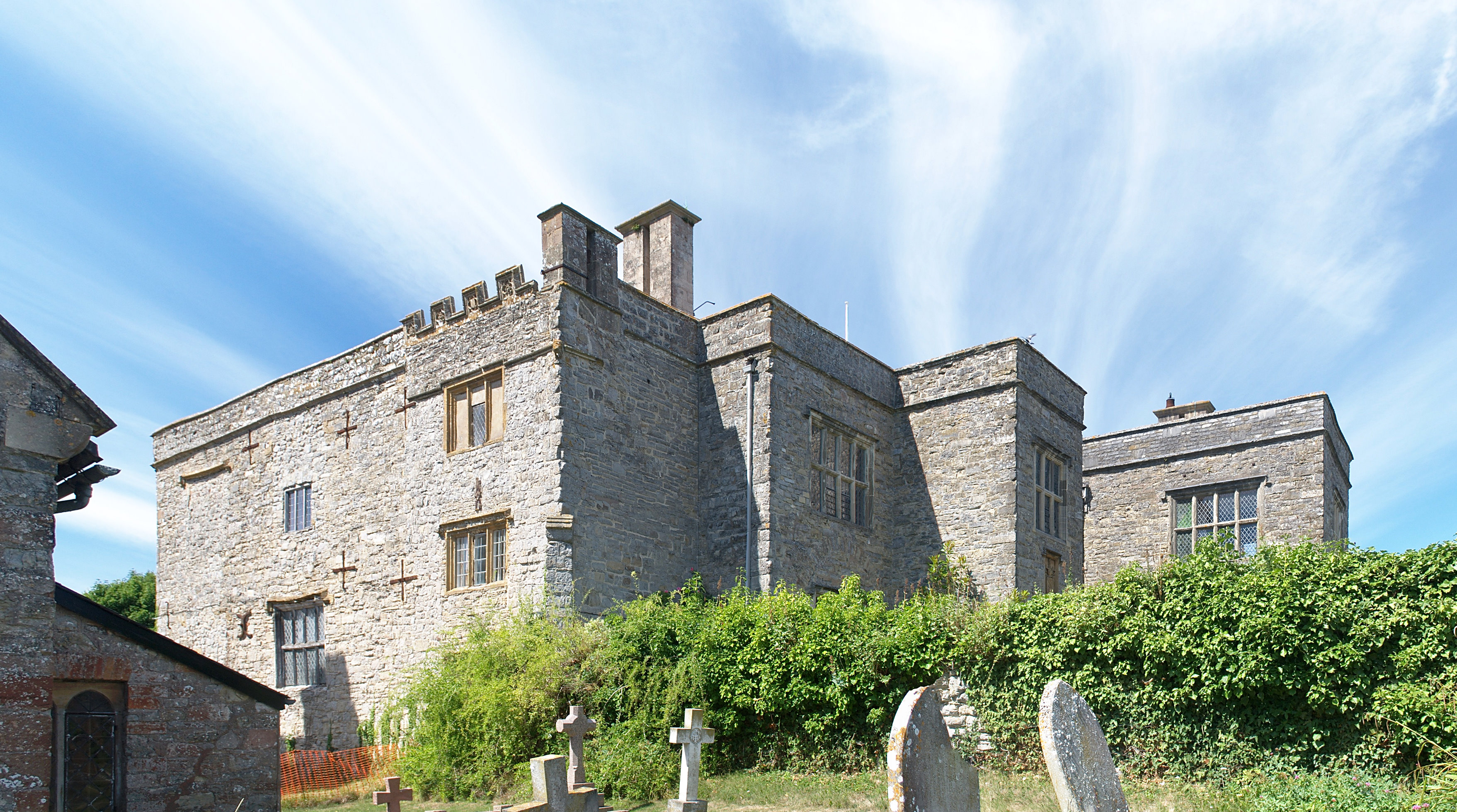
St Audries Park
St Audries Park Manor house at West Quantoxhead in the Quantock Hills of Somerset, England, was the manor house of the Acland family. It was rebuilt on...

West Quantoxhead
West Quantoxhead is a small village and civil parish in the Somerset West and Taunton district of Somerset, England. It lies on the route of the Coleridge...

Church of St Etheldreda, West Quantoxhead
The Church of St Etheldreda, also known as the Church of St Audries, is a Church of England parish church in West Quantoxhead, Somerset, England. Designed...

East Quantoxhead
East Quantoxhead is a village in the district of Somerset West and Taunton, 3 miles (5 km) from West Quantoxhead, 4 miles (6 km) east of Williton, and...
Court House, East Quantoxhead
The Court House in East Quantoxhead, Somerset, England has a medieval tower and other parts of the building which date from the 17th century. It has been...

Church of St Mary, East Quantoxhead
The Anglican Church of St Mary in East Quantoxhead, Somerset, England was built in the 14th century. It is a Grade II* listed building. == History == The...

Lilstock Formation
The Lilstock Formation is a geologic formation in England. It preserves bivalve, insect and other invertebrate fossils, as well as fossil fish of Agkistracanthus...
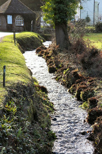
River Holford
The River Holford is located in the east Quantock Hills Area of Outstanding Natural Beauty in Somerset England. It is approximately 4.5 miles (7 km) long...
Nearby Amenities
Located within 500m of 51.183,-3.267Have you been to Mill Mound?
Leave your review of Mill Mound below (or comments, questions and feedback).