Matson House
Heritage Site in Gloucestershire Gloucester
England
Matson House
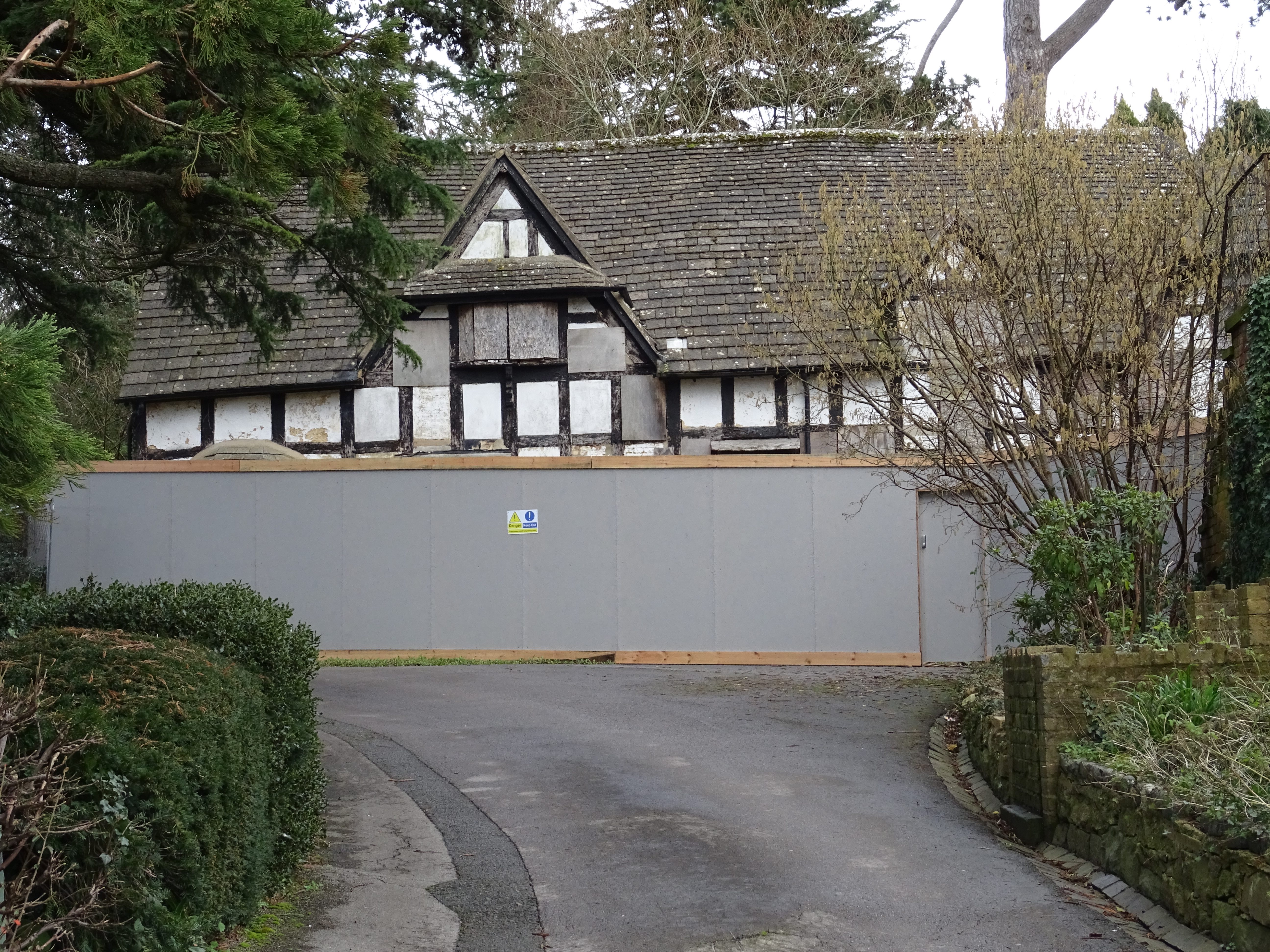
Matson House, located in Gloucestershire, England, is a notable heritage site that holds significant historical and architectural value. Constructed in the early 1700s, the house stands as a testament to the grandeur and craftsmanship of the Georgian era.
The architectural style of Matson House is predominantly Georgian, characterized by symmetrical proportions, sash windows, and a classical façade. The building boasts a stunning red brick exterior, complemented by white stone detailing and a grand entrance portico. The interior of the house features high ceilings, intricate plasterwork, and elegant period features, reflecting the opulence of its time.
The estate surrounding Matson House is equally impressive, with well-manicured gardens and sprawling grounds. The gardens are a mix of formal and informal designs, showcasing a variety of plants, flowers, and ornamental features. The estate also includes a picturesque lake, providing a tranquil setting for visitors to enjoy.
Over the years, Matson House has been occupied by several notable families, each leaving their mark on the property. It has also served various purposes, including a residence, a school, and a meeting place during World War II.
Today, Matson House is open to the public as a heritage site, offering visitors the opportunity to explore its rich history and architectural beauty. Guided tours are available, providing insights into the house's past and its significance in the local community. The site also hosts events and educational programs, aiming to preserve and promote the historical and cultural heritage of Gloucestershire.
If you have any feedback on the listing, please let us know in the comments section below.
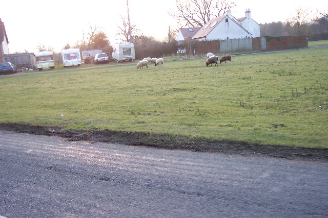
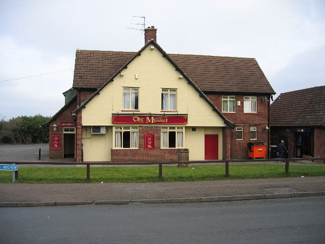
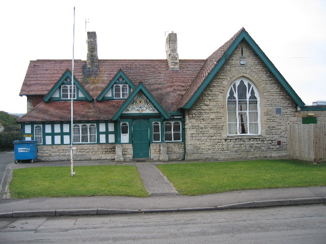
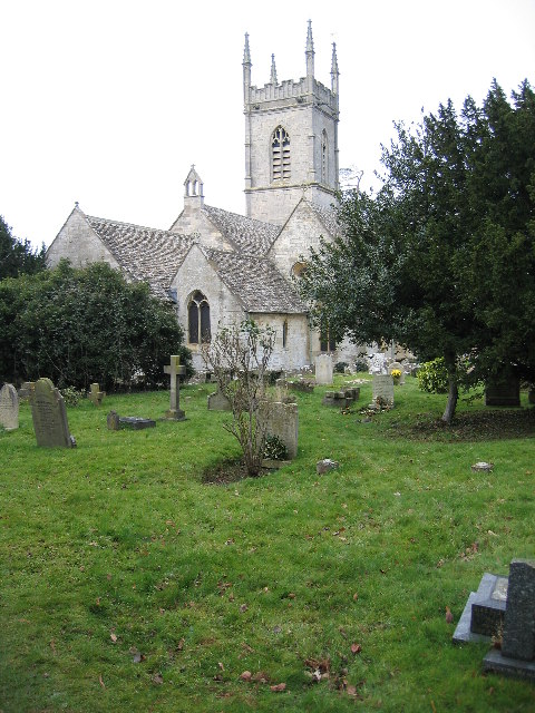
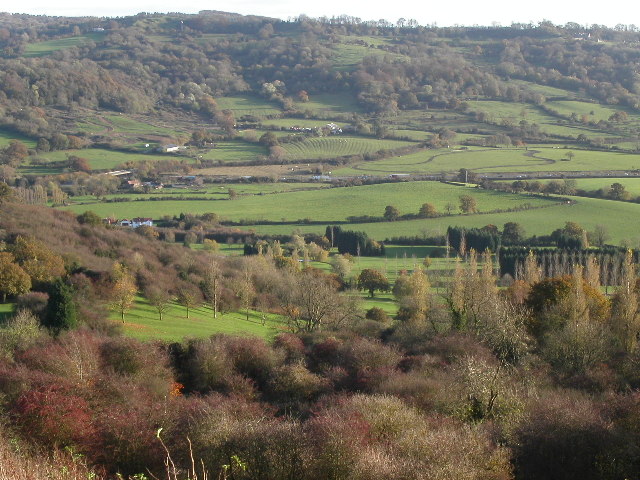
Matson House Images
Images are sourced within 2km of 51.837/-2.225 or Grid Reference SO8415. Thanks to Geograph Open Source API. All images are credited.


Matson House is located at Grid Ref: SO8415 (Lat: 51.837, Lng: -2.225)
Administrative County: Gloucestershire
District: Gloucester
Police Authority: Gloucestershire
What 3 Words
///drums.digit.dance. Near Gloucester, Gloucestershire
Nearby Locations
Related Wikis
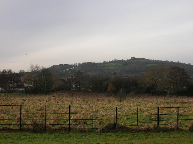
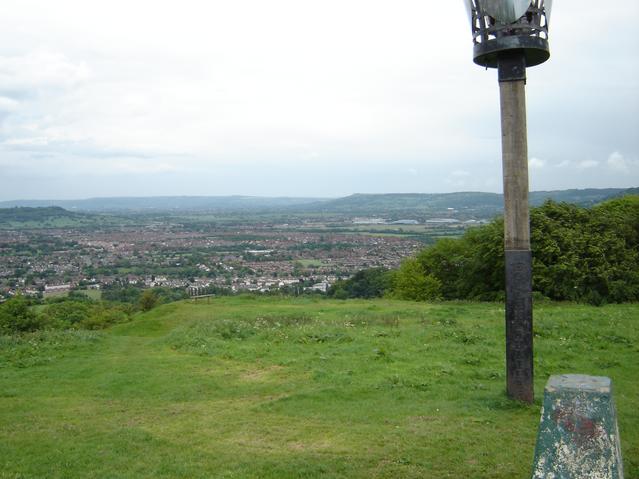
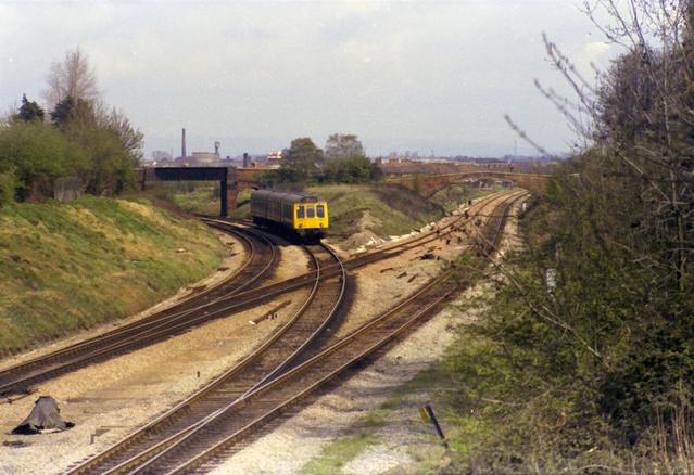
Robinswood Hill
Robinswood Hill (grid reference SO840150) is a hill and country park to the south of the city centre of Gloucester, close to the Stroud Road (A4173). It...

Gloucestershire Wildlife Trust
The Gloucestershire Wildlife Trust is the Gloucestershire local partner in a conservation network of 46 Wildlife Trusts. The Wildlife Trusts are local...

Matson, Gloucester
Matson is a suburb of Gloucester, in the county of Gloucestershire, England. In 1931 the parish had a population of 40. == History == Unlike neighbouring...
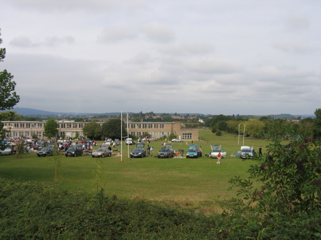
Gloucester Academy
Gloucester Academy, was formed as a merger of Bishop's College, a mixed CofE school and Central Technology College, a boys school, starting life on the...

Robin's Wood Hill Quarry
Robin's Wood Hill Quarry (grid reference SO836148) is a 1.67-hectare (4.1-acre) geological Site of Special Scientific Interest in Gloucestershire, on Robinswood...
White City, Gloucester
White City is an estate in the City of Gloucester. It takes its name from the original white concrete houses.Following World War I, there was a national...
333 Stroud Road
333 Stroud Road is a former farmhouse on Stroud Road, Tuffley, Gloucester. It became a Grade II listed building on 12 March 1973. == History == It was...

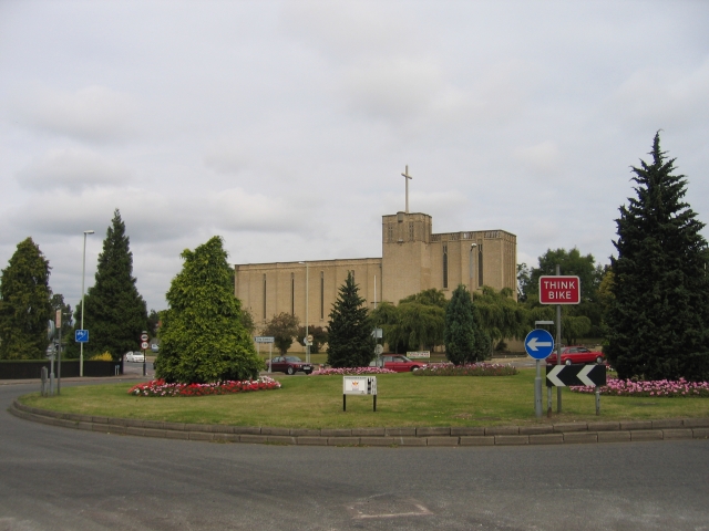
St Barnabas Church, Gloucester
St Barnabas Church is a Grade II listed building located in Stroud Road, Gloucester, Gloucestershire, England. It was built in 1938–40 and obtained its...
Nearby Amenities
Located within 500m of 51.837,-2.225Have you been to Matson House?
Leave your review of Matson House below (or comments, questions and feedback).