Matson Wood

Wood, Forest in Gloucestershire Gloucester

England

Matson Wood

Gloucester Services, Southbound On the M5 and operated by the same group that own Tebay Services on the M6. A quick breakfast stop.
Gloucester Services, Southbound Credit: Chris Allen

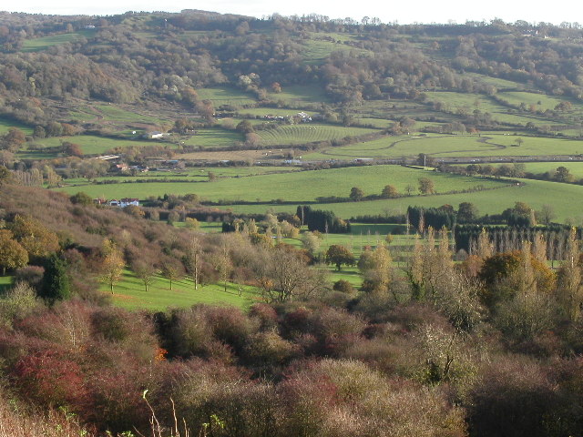
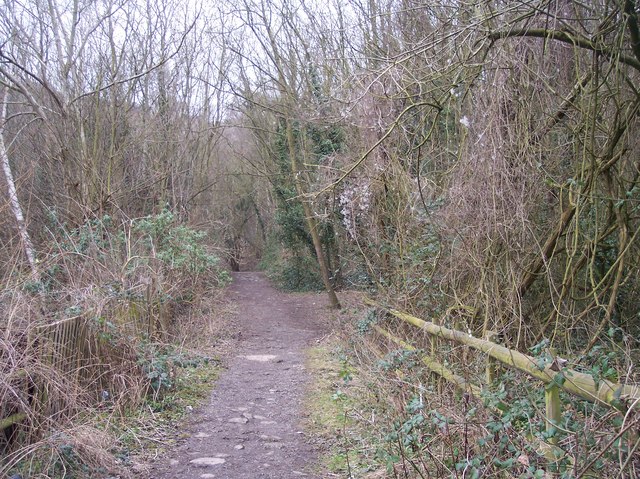
Matson Wood is a picturesque area located in Gloucestershire, England. Situated within the larger Forest of Dean, this woodland is known for its natural beauty and diverse wildlife. Covering an area of approximately 300 acres, Matson Wood offers visitors a tranquil escape from the hustle and bustle of city life.

The wood is predominantly composed of oak and beech trees, creating a rich and vibrant canopy. Walking through this ancient woodland, one can witness a stunning display of seasonal colors, from the vibrant greens of spring to the fiery reds and oranges of autumn. The forest floor is carpeted with bluebells and wildflowers during the spring, adding to the enchanting atmosphere.

Matson Wood is home to a wide range of wildlife, including several species of birds, deer, and even the occasional wild boar. Birdwatchers can spot woodpeckers, jays, and various songbirds, making it a popular destination for nature enthusiasts. Additionally, the wood is known for its population of elusive and captivating butterflies, including the silver-washed fritillary and purple hairstreak.

The wood offers several walking trails, allowing visitors to explore its beauty at their own pace. These trails are well-marked and range in length and difficulty, catering to all levels of fitness. A visit to Matson Wood provides an opportunity to connect with nature, breathe fresh air, and appreciate the serene surroundings.

In summary, Matson Wood in Gloucestershire is a natural gem within the Forest of Dean. With its diverse flora and fauna, it offers visitors a chance to immerse themselves in the beauty of an ancient woodland and experience the tranquility of nature.

If you have any feedback on the listing, please let us know in the comments section below.
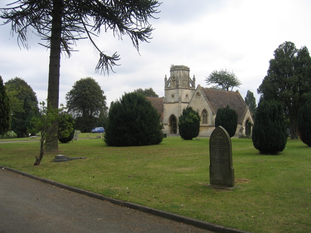
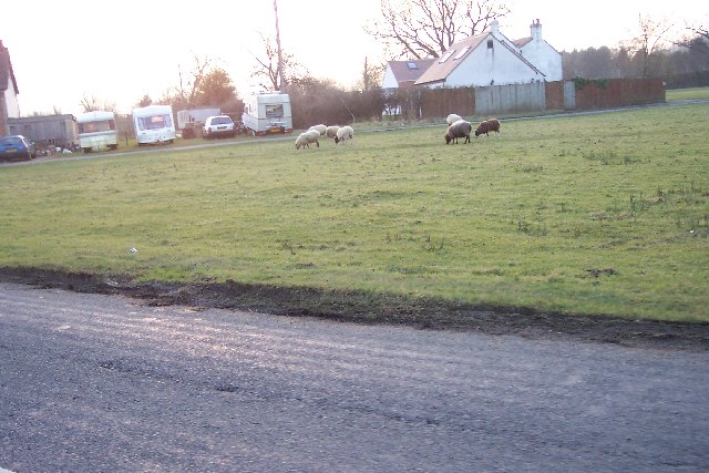
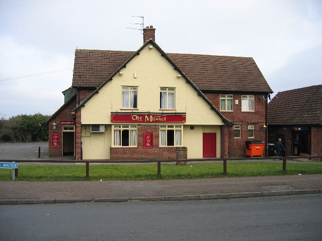
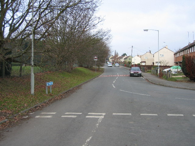
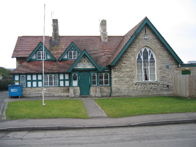
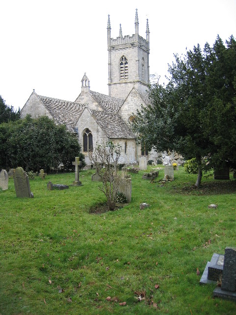
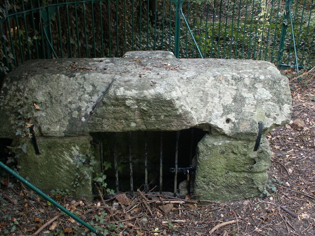
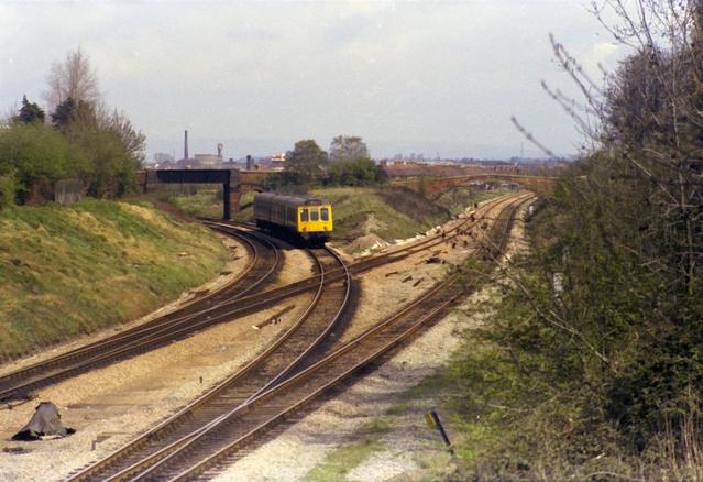
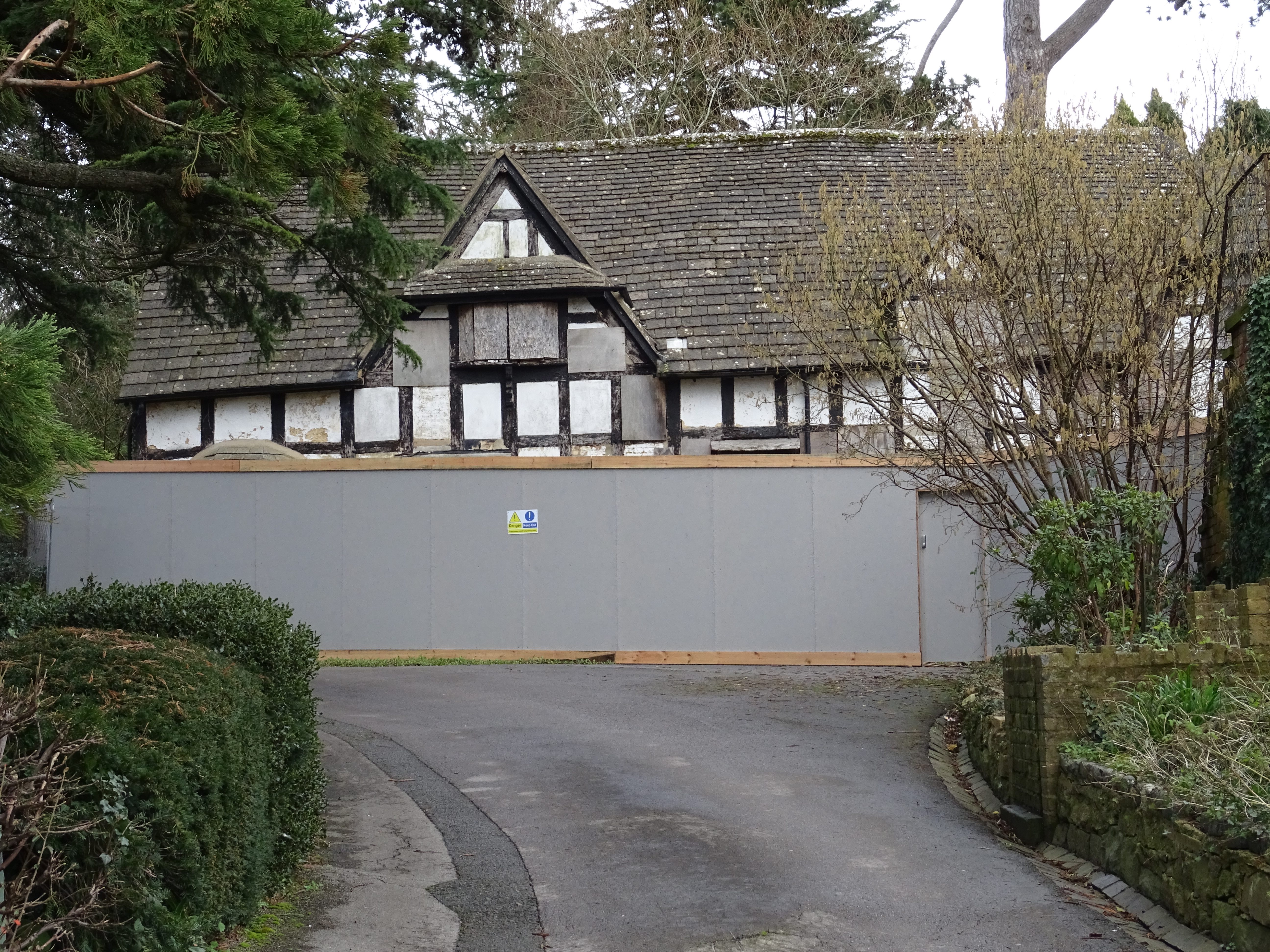
Matson Wood Images

Images are sourced within 2km of 51.834054/-2.223823 or Grid Reference SO8415. Thanks to Geograph Open Source API. All images are credited.

Gloucester Services, Southbound On the M5 and operated by the same group that own Tebay Services on the M6. A quick breakfast stop.
Gloucester Services, Southbound
On the M5 and operated by the same group that own Tebay Services on the M6. A quick breakfast stop.
Trigpoint, Robinswood Hill, Gloucestershire This is the trigpoint at the top of Robinswood Hill, Gloucester and Cheltenham are visible in the distance. The beacon was used during the Golden Jubilee.
Trigpoint, Robinswood Hill, Gloucestershire
This is the trigpoint at the top of Robinswood Hill, Gloucester and Cheltenham are visible in the distance. The beacon was used during the Golden Jubilee.
The Crypt School, Gloucester. The school was founded in 1539 at the Church of St Mary de Crypt in the centre of Gloucester (see <a href="https://www.geograph.org.uk/photo/61705">SO8318 : The Old Crypt School Room</a>).  The school moved to these premises in 1944 as the Crypt Grammar School, and today has a special status in Science.  See:- <span class="nowrap"><a title="http://www.cryptschool.org/" rel="nofollow ugc noopener" href="http://www.cryptschool.org/">Link</a><img style="margin-left:2px;" alt="External link" title="External link - shift click to open in new window" src="https://s1.geograph.org.uk/img/external.png" width="10" height="10"/></span> On the day the photograph was taken a bring and buy sale was in full swing on the playing fields.  In the distance the clump of trees on the top of May Hill can be seen.
The Crypt School, Gloucester.
The school was founded in 1539 at the Church of St Mary de Crypt in the centre of Gloucester (see SO8318 : The Old Crypt School Room). The school moved to these premises in 1944 as the Crypt Grammar School, and today has a special status in Science. See:- LinkExternal link On the day the photograph was taken a bring and buy sale was in full swing on the playing fields. In the distance the clump of trees on the top of May Hill can be seen.
St Barnabas's Church, Gloucester By the roundabout at the junction of Stroud Road and Cole Avenue.
St Barnabas's Church, Gloucester
By the roundabout at the junction of Stroud Road and Cole Avenue.
Tredworth Cemetery, Gloucester The chapel in this large cemetery near the old Gloucester bypass.
Tredworth Cemetery, Gloucester
The chapel in this large cemetery near the old Gloucester bypass.
Tuffley Avenue, Gloucester The house on the left is typical of many in this part of this mainly residential square.  The building on the right replaced a house demolished when a 'plane crashed into it on the 27th March 1963.  A twin engined Vickers Varsity aircraft crashed onto the house. The three elderly occupants survived unhurt apart from shock and scratches, however the house and the neighbouring property that the Drury family also owned were flooded with aviation fuel.  The plane was on a training run from Staverton Airport and tragically the crew of two were killed. See:- <span class="nowrap"><a title="http://aviation-safety.net/database/record.php?id=19630327-0" rel="nofollow ugc noopener" href="http://aviation-safety.net/database/record.php?id=19630327-0">Link</a><img style="margin-left:2px;" alt="External link" title="External link - shift click to open in new window" src="https://s1.geograph.org.uk/img/external.png" width="10" height="10"/></span> and <span class="nowrap"><a title="http://www.visit-gloucestershire.co.uk/boards/topic/72-g-apaz-the-tuffley-varsity/" rel="nofollow ugc noopener" href="http://www.visit-gloucestershire.co.uk/boards/topic/72-g-apaz-the-tuffley-varsity/">Link</a><img style="margin-left:2px;" alt="External link" title="External link - shift click to open in new window" src="https://s1.geograph.org.uk/img/external.png" width="10" height="10"/></span> .
From a personal perspective I remember cycling home from school nearby and seeing the area cordonned off and the remains of the fuselage embedded in the top half of the house.
Tuffley Avenue, Gloucester
The house on the left is typical of many in this part of this mainly residential square. The building on the right replaced a house demolished when a 'plane crashed into it on the 27th March 1963. A twin engined Vickers Varsity aircraft crashed onto the house. The three elderly occupants survived unhurt apart from shock and scratches, however the house and the neighbouring property that the Drury family also owned were flooded with aviation fuel. The plane was on a training run from Staverton Airport and tragically the crew of two were killed. See:- LinkExternal link and LinkExternal link . From a personal perspective I remember cycling home from school nearby and seeing the area cordonned off and the remains of the fuselage embedded in the top half of the house.
Tuffley Junction This used to be four tracks.  The right hand two line were the former GWR main line to Paddington, whilst the left hand pair were the ex-LMS main line to Bristol.  Whilst the two routes ran parallel south from here to Standish Junction, there was no connection between them at this point.  The LMS line curved left beyond the bridge in the distance along the now abandoned route into Gloucester Eastgate Station.  Just beyond the point at which the bank on the left finishes a single track branch from Hempsted and the Gas Works converged with the LMS lines.  The tracks were reduced to the current two in the 1960s and the route to Eastgate closed in the 1970s.
Tuffley Junction
This used to be four tracks. The right hand two line were the former GWR main line to Paddington, whilst the left hand pair were the ex-LMS main line to Bristol. Whilst the two routes ran parallel south from here to Standish Junction, there was no connection between them at this point. The LMS line curved left beyond the bridge in the distance along the now abandoned route into Gloucester Eastgate Station. Just beyond the point at which the bank on the left finishes a single track branch from Hempsted and the Gas Works converged with the LMS lines. The tracks were reduced to the current two in the 1960s and the route to Eastgate closed in the 1970s.
Sneedham's Green Sneedham's Green is common land with sheep grazing. These sheep have no fences or animal grids to enclose them. Apparently the flock has learned where it is allowed to go.
Sneedham's Green
Sneedham's Green is common land with sheep grazing. These sheep have no fences or animal grids to enclose them. Apparently the flock has learned where it is allowed to go.
Curlew Road Gloucester The houses in this part of town all face onto the wrong road, the address being the vehicle access at the back, very confusing for visitors and deliverymen.
Curlew Road Gloucester
The houses in this part of town all face onto the wrong road, the address being the vehicle access at the back, very confusing for visitors and deliverymen.
The Musket Matson
The Musket Matson
Matson Lane Looking North A large housing estate to the right and a country park to the left
Matson Lane Looking North
A large housing estate to the right and a country park to the left
The Village Institute Upton St Leonards
Parish Church Upton St Leonards
M5 motorway bisects Gloucestershire farmland Taken from Robinswood golf course looking south-east the M5 bisects the frame just above centre. This section is midway between Jct.12 and Jct.11A as it passes by Gloucester.
M5 motorway bisects Gloucestershire farmland
Taken from Robinswood golf course looking south-east the M5 bisects the frame just above centre. This section is midway between Jct.12 and Jct.11A as it passes by Gloucester.
Footpath up Robins Wood Hill Looking north east up the hill.
Footpath up Robins Wood Hill
Looking north east up the hill.
Robins Wood Hill Spring Cross The spring provided water to the city of Gloucester for more than 400 years. in the reign of Edward 3rd, it became the subject of a dispute between the Grey Friars and St Peters Abbey, concerning the quantity of water the former was to receive, which was settled by the King in 1350.
Robins Wood Hill Spring Cross
The spring provided water to the city of Gloucester for more than 400 years. in the reign of Edward 3rd, it became the subject of a dispute between the Grey Friars and St Peters Abbey, concerning the quantity of water the former was to receive, which was settled by the King in 1350.
Tuffley Junction A DMU from Gloucester Eastgate approaches Tuffley Junction on the former Midland Railway line.  This line was plagued with level crossings and was eventually closed and lifted in the 1970s when all traffic was diverted into Gloucester Central.  The line on the right, today's main line, is the former Great Western Main line from Gloucester South Junction.  The course of line can be seen on the OS maps by examining the fence lines behind the buildings on Stroud Road.
Tuffley Junction
A DMU from Gloucester Eastgate approaches Tuffley Junction on the former Midland Railway line. This line was plagued with level crossings and was eventually closed and lifted in the 1970s when all traffic was diverted into Gloucester Central. The line on the right, today's main line, is the former Great Western Main line from Gloucester South Junction. The course of line can be seen on the OS maps by examining the fence lines behind the buildings on Stroud Road.
Former Tuffley Junction The railway line once split off to the left as can be seen in another image on this gridsquare. The location is now growing birches and brambles but just beyond the photo the house of Larkspear Close have been built on the route of the old track. Viewed from the Stroud Road bridge.
Former Tuffley Junction
The railway line once split off to the left as can be seen in another image on this gridsquare. The location is now growing birches and brambles but just beyond the photo the house of Larkspear Close have been built on the route of the old track. Viewed from the Stroud Road bridge.
Show me another place!

Matson Wood is located at Grid Ref: SO8415 (Lat: 51.834054, Lng: -2.223823)

Administrative County: Gloucestershire

District: Gloucester

Police Authority: Gloucestershire

What 3 Words

///cheat.haven.habit. Near Gloucester, Gloucestershire

Related Wikis

Matson, Gloucester

Matson is a suburb of Gloucester, in the county of Gloucestershire, England. In 1931 the parish had a population of 40. == History == Unlike neighbouring...
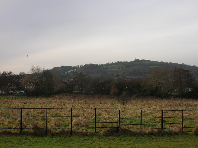
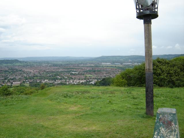
Robinswood Hill

Robinswood Hill (grid reference SO840150) is a hill and country park to the south of the city centre of Gloucester, close to the Stroud Road (A4173). It...

Gloucestershire Wildlife Trust

The Gloucestershire Wildlife Trust is the Gloucestershire local partner in a conservation network of 46 Wildlife Trusts. The Wildlife Trusts are local...

Robin's Wood Hill Quarry

Robin's Wood Hill Quarry (grid reference SO836148) is a 1.67-hectare (4.1-acre) geological Site of Special Scientific Interest in Gloucestershire, on Robinswood...
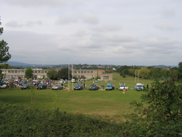
Gloucester Academy

Gloucester Academy, was formed as a merger of Bishop's College, a mixed CofE school and Central Technology College, a boys school, starting life on the...

333 Stroud Road

333 Stroud Road is a former farmhouse on Stroud Road, Tuffley, Gloucester. It became a Grade II listed building on 12 March 1973. == History == It was...

White City, Gloucester

White City is an estate in the City of Gloucester. It takes its name from the original white concrete houses.Following World War I, there was a national...

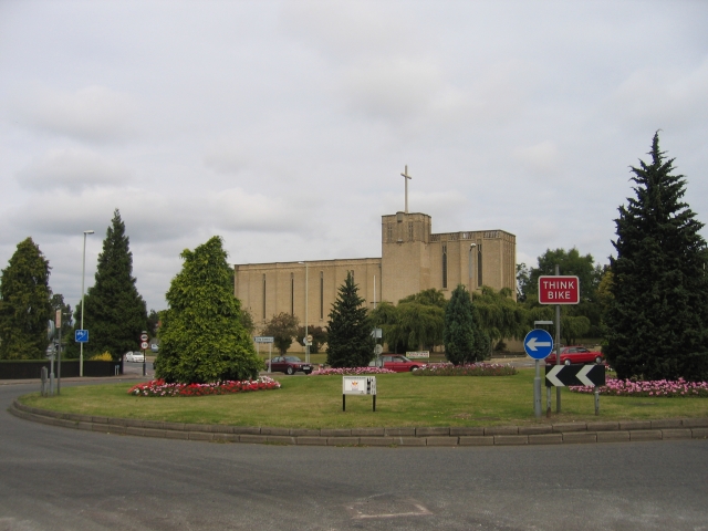
St Barnabas Church, Gloucester

St Barnabas Church is a Grade II listed building located in Stroud Road, Gloucester, Gloucestershire, England. It was built in 1938–40 and obtained its...

Nearby Amenities

Located within 500m of 51.834054,-2.223823
Parking
Lat/Long: 51.8339469/-2.2298383
Post Box
Collection Times: Mo-Fr 09:00; Sa 07:00; Su off
Operator: Royal Mail
Ref: GL4 111D
Source: survey
Lat/Long: 51.8313842/-2.2199175
Matson RFC
Description: Matson Rugby Football Club
Sport: rugby
Lat/Long: 51.8334439/-2.2171837
Note: Parish boundary marker
Lat/Long: 51.8379888/-2.2224476
Power: substation
Ref: 5136
Lat/Long: 51.8318449/-2.2207034
Barrier: stile
Source: survey
Lat/Long: 51.8334276/-2.221349
Addr City: Gloucester
Addr Housenumber: 13-18
Addr Street: Block 10, Bazeley Road, Matson
Lat/Long: 51.8324626/-2.2205566
Addr City: Gloucester
Addr Housenumber: 7-12
Addr Street: Block 10, Bazeley Road, Matson
Lat/Long: 51.8326574/-2.2204976
Addr City: Gloucester
Addr Housenumber: 1-6
Addr Street: Block 10, Bazeley Road, Matson
Lat/Long: 51.8328496/-2.2204239
Bus Stop
Caledonian Road
Loc Name: The Top
Naptan AtcoCode: 1600GL3196
Naptan Bearing: NE
Naptan CommonName: Caledonian Road
Naptan Indicator: Opp
Naptan NaptanCode: glodgdpa
Naptan Street: Matson Ave
Naptan Verified: yes
Note: Merged in data from pre-existing OSM bus stop but kept NaPTAN positioning
Operator: Stagecoach
Shelter: yes
Source: naptan_import;osm
Wheelchair: yes
Lat/Long: 51.8318848/-2.2185071
Barrier: cattle_grid
Lat/Long: 51.8313568/-2.2214992
Street Lamp
Source: Bing + survey
Lat/Long: 51.8304846/-2.2197571
Street Lamp
Source: Bing + survey
Lat/Long: 51.8308886/-2.2197571
Power: pole
Source: Bing
Lat/Long: 51.8310278/-2.2199737
Street Lamp
Source: Bing
Lat/Long: 51.8310641/-2.2188085
Street Lamp
Source: Bing
Lat/Long: 51.8330672/-2.2205716
Street Lamp
Source: Bing
Lat/Long: 51.8316538/-2.2187712
Street Lamp
Source: Bing
Lat/Long: 51.831377/-2.2189842
Street Lamp
Source: Bing
Lat/Long: 51.8310612/-2.2187006
Street Lamp
Source: Bing
Lat/Long: 51.8327614/-2.2201759
Street Lamp
Source: Bing
Lat/Long: 51.8325853/-2.2201954
Power: pole
Source: Bing
Lat/Long: 51.8328376/-2.2202732
Street Lamp
Source: Bing
Lat/Long: 51.8332056/-2.2210262
Street Lamp
Source: Bing
Lat/Long: 51.8330386/-2.2201498
Street Lamp
Source: Bing
Lat/Long: 51.8316755/-2.2204855
Power: pole
Source: Bing
Lat/Long: 51.8320513/-2.220112
Street Lamp
Source: Bing
Lat/Long: 51.8316328/-2.2209314
Power: pole
Source: Bing
Lat/Long: 51.8315478/-2.2211507
Power: pole
Source: Bing
Lat/Long: 51.8317558/-2.2202085
Street Lamp
Source: Bing
Lat/Long: 51.8379668/-2.2225837
Source: Bing
Traffic Calming: hump
Lat/Long: 51.8382448/-2.2224455
Street Lamp
Source: Bing
Lat/Long: 51.836963/-2.2217603
Street Lamp
Source: Bing
Lat/Long: 51.8382652/-2.222518
Addr Housenumber: 2
Addr Street: The Oaks
Source: survey
Lat/Long: 51.8350323/-2.2199393
Addr Housenumber: 10
Addr Street: The Oaks
Source: survey
Lat/Long: 51.8348293/-2.2196765
Addr Housenumber: 8
Addr Street: The Oaks
Source: survey
Lat/Long: 51.8348872/-2.2197194
Addr Housenumber: 6
Addr Street: The Oaks
Source: survey
Lat/Long: 51.83498/-2.2197724
Addr Housenumber: 4
Addr Street: The Oaks
Source: survey
Lat/Long: 51.8350368/-2.2198435
Fee: no
Lat/Long: 51.8338421/-2.2173302
Addr City: Gloucester
Addr Housenumber: 9
Addr Street: Larkham Place
Building: residential
Source: DigitalGlobe-Premium + survey
Lat/Long: 51.8332975/-2.2209768
Waste Basket
Operator: Gloucester City Council
Source: survey;gps
Waste: trash;dog_excrement
Lat/Long: 51.8310201/-2.2209631
Waste Basket
Operator: Gloucester City Council
Source: survey
Waste: trash
Lat/Long: 51.8318597/-2.2185301
The data included in this document is from www.openstreetmap.org. The data is made available under ODbL.

Have you been to Matson Wood?

Leave your review of Matson Wood below (or comments, questions and feedback).