Manor House
Heritage Site in Somerset South Somerset
England
Manor House

Manor House, Somerset is a historic heritage site located in the picturesque village of Ditcheat, Somerset, England. This Grade II* listed building is a fine example of a medieval manor house, dating back to the 14th century.
The manor house is constructed of local Ham stone and exhibits a beautiful mix of architectural styles, including Gothic and Tudor influences. It is renowned for its perfectly preserved timber-framed interior, showcasing intricate carvings and original features. The building underwent extensive renovations in the 19th century, ensuring its preservation and showcasing its historical significance.
Visitors to Manor House, Somerset can explore its well-preserved rooms, including the grand entrance hall, drawing room, and dining room. The house also boasts a stunning medieval chapel, adorned with beautiful stained glass windows and ornate woodwork.
The grounds surrounding Manor House, Somerset are equally impressive, featuring a picturesque walled garden, herbaceous borders, and a tranquil orchard. The site offers visitors the opportunity to stroll along ancient pathways and soak in the serene beauty of the English countryside.
Throughout the year, Manor House, Somerset hosts a variety of events and exhibitions, providing visitors with a deeper insight into its rich history. From guided tours to educational workshops, there is something for everyone to enjoy and learn from at this remarkable heritage site.
Overall, Manor House, Somerset is a captivating destination that offers visitors a unique opportunity to step back in time and immerse themselves in the rich history and architectural beauty of medieval England.
If you have any feedback on the listing, please let us know in the comments section below.
Manor House Images
Images are sourced within 2km of 50.988/-2.962 or Grid Reference ST3221. Thanks to Geograph Open Source API. All images are credited.


Manor House is located at Grid Ref: ST3221 (Lat: 50.988, Lng: -2.962)
Administrative County: Somerset
District: South Somerset
Police Authority: Avon and Somerset
What 3 Words
///prefix.carpeted.disposal. Near Creech St Michael, Somerset
Nearby Locations
Related Wikis

Curry Mallet
Curry Mallet (anciently "Cory Mallett") is a village and parish in Somerset, England. It is on the Fivehead River (also known as the River Ile), 7 miles...

Beercrocombe
Beercrocombe (also known as Beer Crocombe) is a village and civil parish in Somerset, England, 1 mile (1.6 km) south of Curry Mallet and 7 miles (11.3...
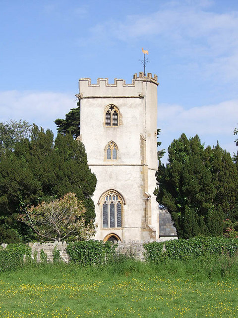
Church of St James, Curry Mallet
The Church of St James is a Church of England parish church in Curry Mallet, Somerset. It has 13th-century origins and has been designated as a Grade I...
Church of St James, Beercrocombe
The Church of St James in Beercrocombe, Somerset, England, dates from the 13th century but the current building is predominantly from the 15th. It was...

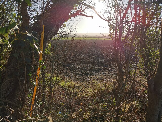
Fivehead Arable Fields
Fivehead Arable Fields (grid reference ST337224) is a 10.3 hectare (25.4 acre) biological Site of Special Scientific Interest near the village of Fivehead...
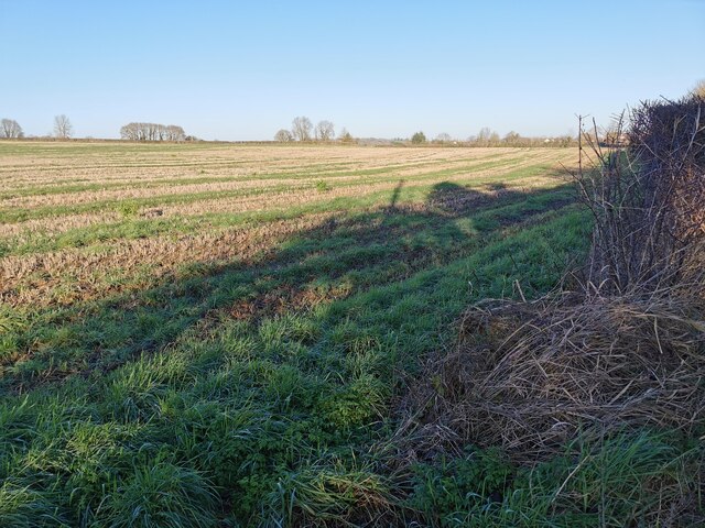
Fivehead Woods and Meadow
Fivehead Woods and Meadow (grid reference ST331231) is a 62.4 hectare (154.2 acre) biological Site of Special Scientific Interest near the village of Fivehead...

Hatch Beauchamp
Hatch Beauchamp is a village and civil parish in Somerset, England, situated 5 miles (8.0 km) south east of Taunton. The village has a population of 620...
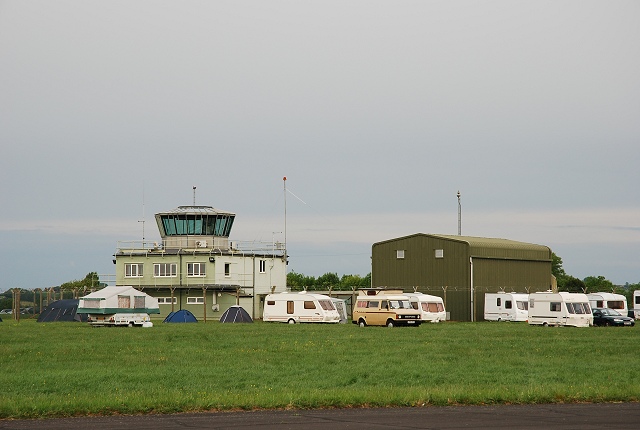
RNAS Merryfield
Royal Naval Air Station Merryfield, commonly known as RNAS Merryfield, is an air station of the Royal Navy's Fleet Air Arm located 2.7 miles (4 kilometres...
Nearby Amenities
Located within 500m of 50.988,-2.962Have you been to Manor House?
Leave your review of Manor House below (or comments, questions and feedback).