Manor House

Heritage Site in Huntingdonshire Huntingdonshire

England

Manor House

Apartment block, Alconbury Weald
Apartment block, Alconbury Weald Credit: Jonathan Thacker

Manor House, located in the picturesque town of Huntingdonshire, is a prominent heritage site that holds significant historical and architectural value. This magnificent manor dates back to the 16th century and stands as a testament to the rich cultural heritage of the region.

The Manor House boasts a stunning Tudor-style façade, characterized by its intricately carved timber frames and mullioned windows. The building's well-preserved architectural features serve as a visual representation of the craftsmanship of the era. Inside, visitors can explore various rooms, each offering a glimpse into the past with original fireplaces, exposed beams, and period furniture.

The manor's grounds are equally captivating, featuring beautifully manicured gardens and a charming courtyard. This outdoor space provides visitors with an opportunity to relax and appreciate the serene surroundings while taking in the splendor of the architecture.

Moreover, Manor House has played a significant role in the region's history. It has witnessed the passage of time and the lives of several notable individuals who have resided within its walls. The manor has also been used for various purposes throughout the years, including as a school and a courthouse, adding to its historical significance.

Today, Manor House serves as a cultural center and museum, offering a range of educational programs, exhibitions, and events. It provides a unique opportunity for visitors to immerse themselves in the region's rich heritage, appreciate the architectural marvels of the past, and gain a deeper understanding of the historical significance of Huntingdonshire.

If you have any feedback on the listing, please let us know in the comments section below.

Manor House Images

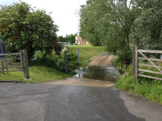
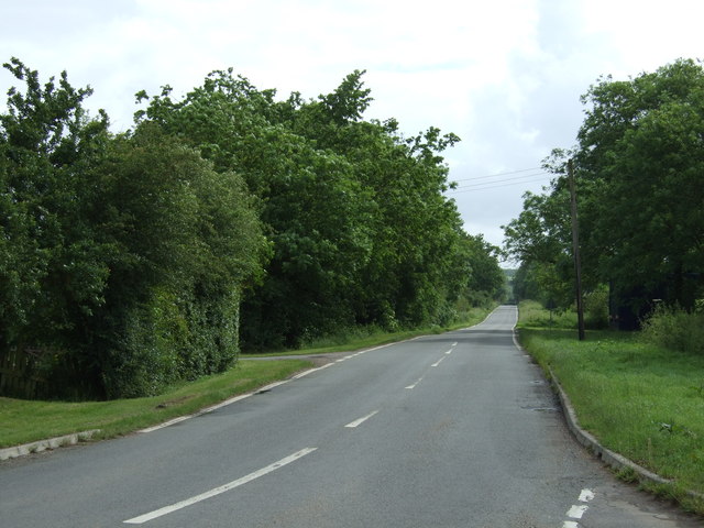
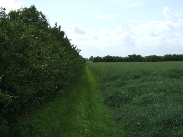
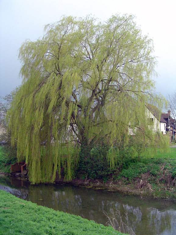
Images are sourced within 2km of 52.373/-0.258 or Grid Reference TL1876. Thanks to Geograph Open Source API. All images are credited.

Apartment block, Alconbury Weald
Milestone, Alconbury Hill Dates from about 1770 <span class="nowrap"><a title="https://historicengland.org.uk/listing/the-list/list-entry/1130211" rel="nofollow ugc noopener" href="https://historicengland.org.uk/listing/the-list/list-entry/1130211">Link</a><img style="margin-left:2px;" alt="External link" title="External link - shift click to open in new window" src="https://s1.geograph.org.uk/img/external.png" width="10" height="10"/></span> The A1(M) thunders behind.
Milestone, Alconbury Hill
Dates from about 1770 LinkExternal link The A1(M) thunders behind.
Old Milestone, Ermine Street On the Great North Road (ex A1). On the NE side of the road.

Inscription: from / London / 66 / Miles / to / Stilton / 9 / Miles

Milestone Society National ID:  HU_LY66
Old Milestone, Ermine Street
On the Great North Road (ex A1). On the NE side of the road. Inscription: from / London / 66 / Miles / to / Stilton / 9 / Miles Milestone Society National ID: HU_LY66
Bridge at Alconbury, A14
Joining the A1(M) The junction of the A1(M) and A14.
Joining the A1(M)
The junction of the A1(M) and A14.
A1(M), Alconbury Hill The A1 is the longest numbered road in the UK at 410 miles long. It connects London with Edinburgh, via the east of England. 
For much of its path it follows the Great North Road the old coaching route between London and Edinburgh. Several sections of the route are classified as motorway A1(M). The modern A1 bypasses the towns the Great North Road passed through and is dual carriageway for most of its route through England.
A1(M), Alconbury Hill
The A1 is the longest numbered road in the UK at 410 miles long. It connects London with Edinburgh, via the east of England. For much of its path it follows the Great North Road the old coaching route between London and Edinburgh. Several sections of the route are classified as motorway A1(M). The modern A1 bypasses the towns the Great North Road passed through and is dual carriageway for most of its route through England.
A14 exit  to B1043 Contrary to usual practice for motorways and trunk roads, this junction is apparently not numbered.
A14 exit to B1043
Contrary to usual practice for motorways and trunk roads, this junction is apparently not numbered.
B1043 bridge over A14(M) There is only about a mile of A14(M) before it joins the A1(M).
B1043 bridge over A14(M)
There is only about a mile of A14(M) before it joins the A1(M).
The A14(M) joins the A1(M) North of the junction the A1(M) has eight lanes for some distance.
The A14(M) joins the A1(M)
North of the junction the A1(M) has eight lanes for some distance.
Alconbury Brook The ford on Alconbury Brook at Alconbury Weston
Alconbury Brook
The ford on Alconbury Brook at Alconbury Weston
Footpath to Park Farm Footpath to Park Farm off the Buckworth Road
Footpath to Park Farm
Footpath to Park Farm off the Buckworth Road
Ford at Alconbury Weston This gated ford is found in Alconbury Weston. The ford on the Alconbury Brook provides access between High Street and Hamerton Road.
Ford at Alconbury Weston
This gated ford is found in Alconbury Weston. The ford on the Alconbury Brook provides access between High Street and Hamerton Road.
Alconbury Ford This gated ford is found in Alconbury.
Alconbury Ford
This gated ford is found in Alconbury.
Footpath near Corner Farm
Road towards Alconbury
Corner Farm
Corner Farm
Buckworth Road towards Alconbury
Hedgerow and field
Hedgerow and field
Show me another place!

Manor House is located at Grid Ref: TL1876 (Lat: 52.373, Lng: -0.258)

Administrative County: Cambridgeshire

District: Huntingdonshire

Police Authority: Cambridgeshire

What 3 Words

///mailbox.remarking.rarely. Near Alconbury, Cambridgeshire

Nearby Locations

Manor House Cade's Hill

Related Wikis

Alconbury Weston

Alconbury Weston – in Huntingdonshire (now part of Cambridgeshire), England – is a village and civil parish, lying just outside of the Fens, having just...

Alconbury Weald

Alconbury Weald is a new settlement in Cambridgeshire, England, lying to the north-west of the town of Huntingdon. The site was previously part of RAF...

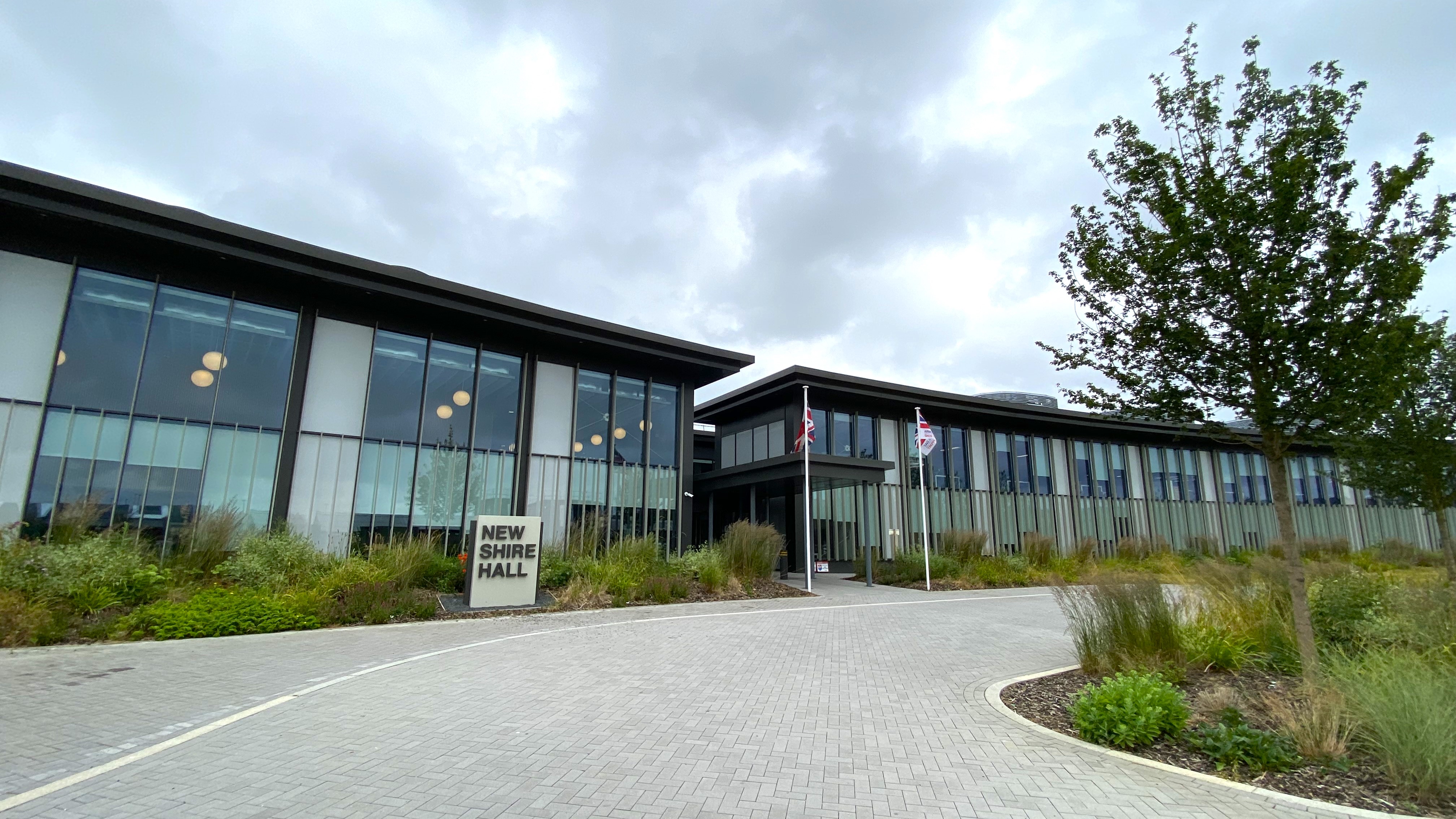
New Shire Hall, Alconbury Weald

New Shire Hall is a municipal building on Emery Crescent, Alconbury Weald, Cambridgeshire, England, built in 2019–2020. It is the headquarters of Cambridgeshire...

Alconbury

Alconbury is a village and civil parish in Cambridgeshire, England. Alconbury is situated within Huntingdonshire which is a non-metropolitan district of...

Little Stukeley

Little Stukeley is a village and former civil parish, now in the parish of The Stukeleys, in Cambridgeshire, England. Little Stukeley lies approximately...

Upton, Huntingdonshire

Upton is a village and former civil parish, now in the parish of Upton and Coppingford, in the Huntingdonshire district, in the county of Cambridgeshire...

RAF Alconbury

Royal Air Force Alconbury, or more simply RAF Alconbury, is an active Royal Air Force station near Huntingdon, England. The airfield is in the civil parish...

Alconbury High School

Alconbury High School is a public high school located in Alconbury, England, operated by the Department of Defense Education Activity (DoDEA). It is a...

Nearby Amenities

Located within 500m of 52.373,-0.258
Post Box
Postal Code: PE28
Ref: PE28 149
Source: survey
Lat/Long: 52.368718/-0.2598637
Post Office
Alconbury Post Office
Addr Country: GB
Addr Postcode: PE28 4DU
Brand: Post Office
Brand Wikidata: Q1783168
Contact Website: https://www.postoffice.co.uk/branch-finder/2732300/alconbury
Ref Pol Id: 10896
Lat/Long: 52.3686982/-0.2597317
Created By: Merkaartor 0.12
Lat/Long: 52.3719819/-0.2636519
Created By: Merkaartor 0.12
Lat/Long: 52.3720818/-0.2634787
Created By: Merkaartor 0.12
Lat/Long: 52.3722193/-0.2632856
Phone
Check Date: 2023-12-22
Emergency: phone
Lat/Long: 52.3715751/-0.2530483
Phone
Check Date: 2023-12-22
Emergency: phone
Lat/Long: 52.3715217/-0.252487
Bus Stop
Manor Lane
Bus: yes
Naptan AtcoCode: 0500HALCY006
Naptan Bearing: NW
Naptan CommonName: Manor Lane
Naptan Indicator: o/s No 2
Naptan Landmark: Manor Lane
Naptan NaptanCode: cmbdmpjw
Naptan ShortCommonName: Manor Lane
Naptan Street: Manor Lane
Naptan Verified: no
Public Transport: platform
Source: naptan_import
Lat/Long: 52.371372/-0.2569075
Bus Stop
Spinney Lane
Bus: yes
Naptan AtcoCode: 0500HALCY007
Naptan Bearing: NE
Naptan CommonName: Spinney Lane
Naptan Indicator: near
Naptan Landmark: Spinney Lane
Naptan NaptanCode: cmbdmpma
Naptan ShortCommonName: Spinney Lane
Naptan Street: Manor Lane
Naptan Verified: no
Public Transport: platform
Source: naptan_import
Lat/Long: 52.3698311/-0.2548529
Bus Stop
Spinney Lane
Bus: yes
Naptan AtcoCode: 0500HALCY008
Naptan Bearing: SE
Naptan CommonName: Spinney Lane
Naptan Indicator: opp
Naptan Landmark: Spinney Lane
Naptan NaptanCode: cmbdmpmd
Naptan ShortCommonName: Spinney Lane
Naptan Street: Manor Lane
Naptan Verified: no
Public Transport: platform
Source: naptan_import
Lat/Long: 52.369539/-0.2545559
Bus Stop
The Maltings
Bus: yes
Naptan AtcoCode: 0500HALCY010
Naptan Bearing: NE
Naptan CommonName: The Maltings
Naptan Indicator: near
Naptan Landmark: The Maltings
Naptan NaptanCode: cmbdmpmj
Naptan ShortCommonName: The Maltings
Naptan Street: Chapel Street
Naptan Verified: no
Public Transport: platform
Source: naptan_import
Lat/Long: 52.3697177/-0.2593524
Bus Stop
The Maltings
Bus: yes
Naptan AtcoCode: 0500HALCY011
Naptan Bearing: SW
Naptan CommonName: The Maltings
Naptan Indicator: opp
Naptan Landmark: The Maltings
Naptan NaptanCode: cmbdmpmp
Naptan ShortCommonName: The Maltings
Naptan Street: Chapel Street
Naptan Verified: no
Public Transport: platform
Source: naptan_import
Lat/Long: 52.3695211/-0.2594335
Bus Stop
Manor Lane
Bus: yes
Naptan AtcoCode: 0500HALCY012
Naptan Bearing: NE
Naptan CommonName: Manor Lane
Naptan Indicator: opp
Naptan Landmark: Manor Lane
Naptan NaptanCode: cmbdmpmt
Naptan ShortCommonName: Manor Lane
Naptan Street: School Lane
Naptan Verified: no
Public Transport: platform
Source: naptan_import
Lat/Long: 52.3716463/-0.2578222
Noexit: yes
Lat/Long: 52.3716122/-0.2541798
Power: pole
Lat/Long: 52.3762591/-0.2628513
Power: pole
Lat/Long: 52.3727205/-0.2637284
Power: pole
Lat/Long: 52.3743237/-0.2570898
Power: pole
Lat/Long: 52.3726011/-0.2640959
Power: pole
Lat/Long: 52.3746512/-0.2557943
Power: pole
Lat/Long: 52.3745987/-0.2595764
Power: pole
Lat/Long: 52.373983/-0.2584874
Power: pole
Lat/Long: 52.3749443/-0.2545659
Power: pole
Lat/Long: 52.3731398/-0.2619233
Power: pole
Lat/Long: 52.3756664/-0.2617087
Power: pole
Lat/Long: 52.3735672/-0.2601611
Power: pole
Lat/Long: 52.375208/-0.2606922
Power: pole
Lat/Long: 52.3754423/-0.2522942
Power: pole
Lat/Long: 52.3753144/-0.2529755
Power: pole
Lat/Long: 52.3725206/-0.2586429
Power: pole
Lat/Long: 52.3732919/-0.258557
Power: pole
Lat/Long: 52.3717575/-0.2586697
Man Made: water_well
Lat/Long: 52.3689988/-0.2601208
Nisa Local
Brand: Nisa Local
Brand Wikidata: Q16999069
Brand Wikipedia: en:Nisa (retailer)
Payment Cash: yes
Payment Credit Cards: yes
Payment Debit Cards: yes
Shop: convenience
Lat/Long: 52.3686621/-0.2597967
Noexit: yes
Lat/Long: 52.3716212/-0.2543128
The data included in this document is from www.openstreetmap.org. The data is made available under ODbL.

Have you been to Manor House?

Leave your review of Manor House below (or comments, questions and feedback).