Maengwyngweddw

Heritage Site in Radnorshire

Wales

Maengwyngweddw

Farm track on Moel Geufron
Farm track on Moel Geufron Credit: Steven Brown

Maengwyngweddw, located in Radnorshire, is a notable heritage site steeped in history and cultural significance. This ancient site, also known as the Maengwyngweddw Stone Circle, is situated in the picturesque countryside of mid-Wales.

The stone circle is believed to date back to the Bronze Age, making it over 4,000 years old. It consists of a circular arrangement of large standing stones, with some measuring up to 3 meters in height. While the original purpose of the stone circle remains a mystery, it is widely believed to have had significant religious or ceremonial importance to the ancient inhabitants of the area.

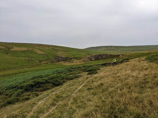
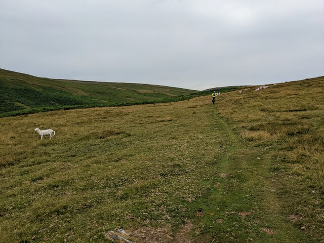
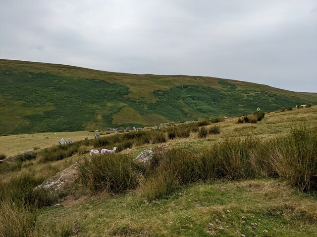
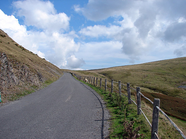
Maengwyngweddw is not only remarkable for its age and size but also for its stunning natural setting. Surrounded by rolling hills and lush greenery, the site offers breathtaking views of the Radnorshire landscape. Visitors can take a leisurely stroll around the stone circle, taking in the tranquil atmosphere and imagining what life was like for the people who once gathered here.

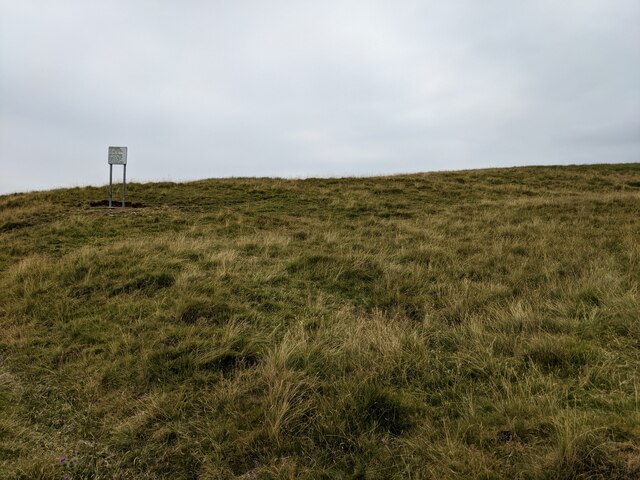
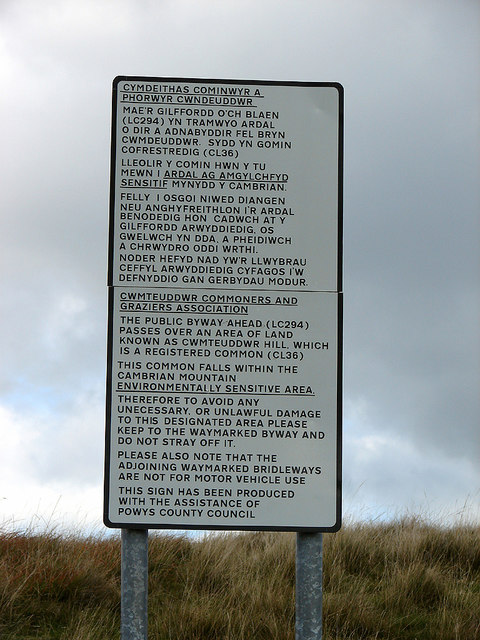
The site is well-preserved and managed by local authorities, with information boards providing historical context and details about the stones themselves. It is a popular destination for tourists and history enthusiasts who are keen to explore the rich heritage of the region.

Visiting Maengwyngweddw provides a unique opportunity to step back in time and connect with the ancient past. Whether you are interested in archaeology, spirituality, or simply appreciating the beauty of the Welsh countryside, this heritage site offers a fascinating and enriching experience for all who venture there.

If you have any feedback on the listing, please let us know in the comments section below.

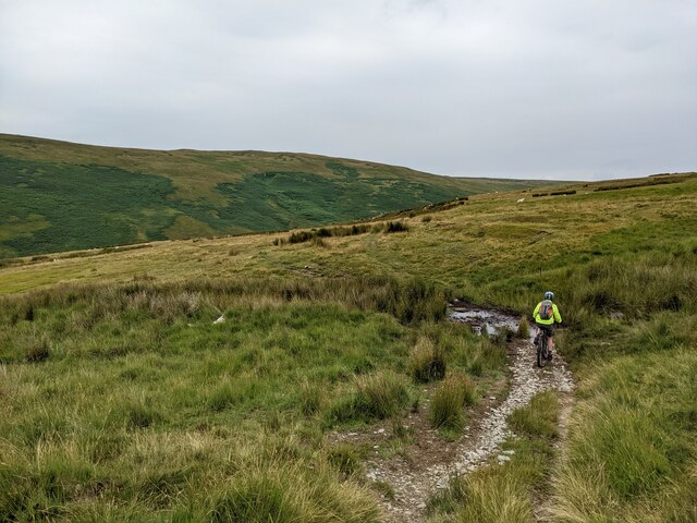
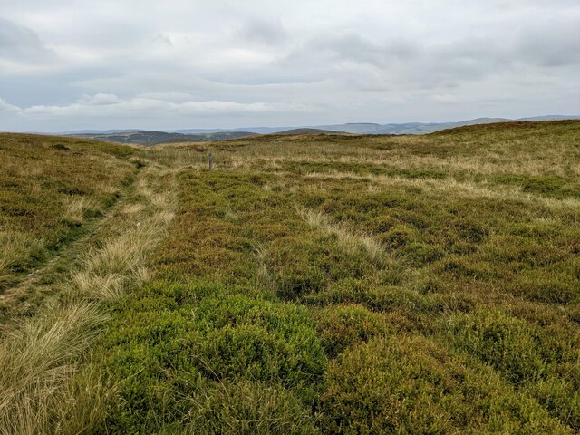
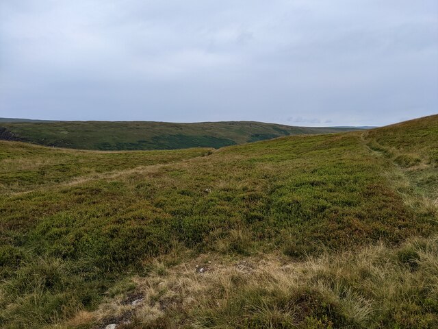
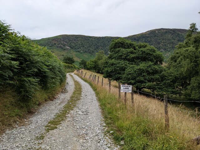
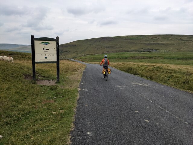
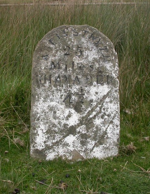
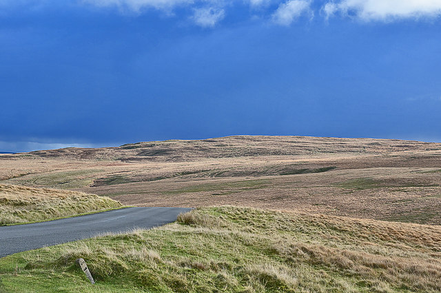
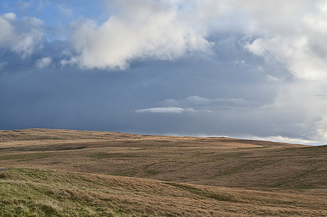
Maengwyngweddw Images

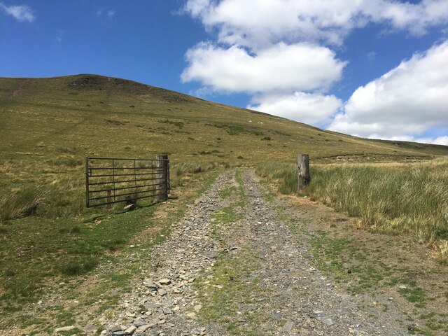
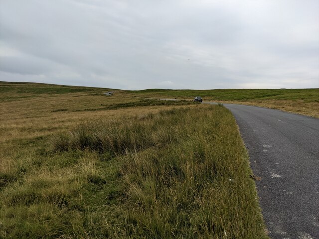
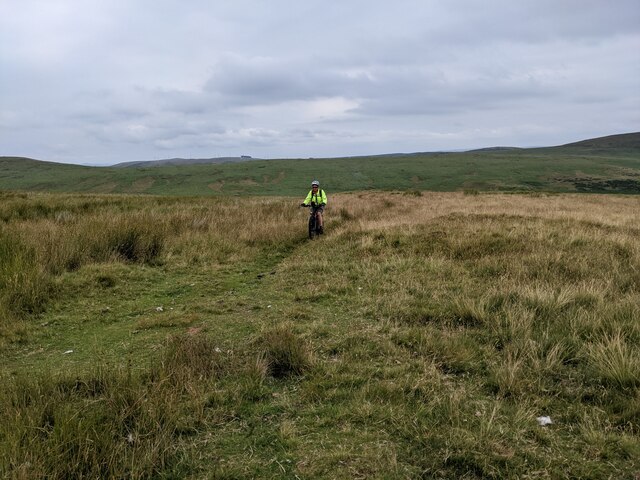
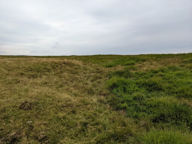
Images are sourced within 2km of 52.322/-3.577 or Grid Reference SN9270. Thanks to Geograph Open Source API. All images are credited.

Farm track on Moel Geufron
The road across Blaen Fign moor
The bridleway? This well established track is not classified on the map, but the bridleway which is shown on the map, 300m north, does not exist on the ground. An error or a conflict between history and reality?
The bridleway?
This well established track is not classified on the map, but the bridleway which is shown on the map, 300m north, does not exist on the ground. An error or a conflict between history and reality?
Rough ground on Blaen Fign moor
Penrhiw-wen moors The sign post warns motorised vehicle drivers to stay on the nearby tarmac.
Penrhiw-wen moors
The sign post warns motorised vehicle drivers to stay on the nearby tarmac.
The bridleway heading for Rhyd Garreg-lwyd
The bridleway above Nant y Sarn
The hillside above Lluest-pen-rhiw Note the stone 'wall' running from left to right, with its unusual construction of flat 'flagstones'.
The hillside above Lluest-pen-rhiw
Note the stone 'wall' running from left to right, with its unusual construction of flat 'flagstones'.
Crossing the Trawsnant ford
The bridleway across Moelfryn moor
The bridleway above Llofftyddgleision
The track to Fergwm No access without permission!
The track to Fergwm
No access without permission!
Welcome to the Elan valley
Old Milestone on Moel Geufron mountain road, Rhayader parish Milestone by the UC, in parish of Rhayader (Powys District), mountain road; Moel Geufron, at track to sheepfold, on verge, North side of road.

Inscription reads:-
ABERYSTWYTH
25
Miles
RHAYADER
4½

Grade II listed by Cadw.
Reference Number: 16229 <span class="nowrap"><a title="https://cadwpublic-api.azurewebsites.net/reports/listedbuilding/FullReport?lang=&id=16229" rel="nofollow ugc noopener" href="https://cadwpublic-api.azurewebsites.net/reports/listedbuilding/FullReport?lang=&id=16229">Link</a><img style="margin-left:2px;" alt="External link" title="External link - shift click to open in new window" src="https://s1.geograph.org.uk/img/external.png" width="10" height="10"/></span>

Surveyed

Milestone Society National ID: RAD_AYMRY25
Old Milestone on Moel Geufron mountain road, Rhayader parish
Milestone by the UC, in parish of Rhayader (Powys District), mountain road; Moel Geufron, at track to sheepfold, on verge, North side of road. Inscription reads:- ABERYSTWYTH 25 Miles RHAYADER 4½ Grade II listed by Cadw. Reference Number: 16229 LinkExternal link Surveyed Milestone Society National ID: RAD_AYMRY25
Sunshine and showers on the Elan Moors Rain is falling beyond Esgair Penygarreg.
Sunshine and showers on the Elan Moors
Rain is falling beyond Esgair Penygarreg.
Looking across the valley of the Nant Gwynllyn Slopes rise up to Esgair Penygarreg beyond. On the horizon to the right of centre the cairn of Crugyn Gwyddel can be made out.

On the slopes on the right the square outline of the Roman marching camp can be made out.
Looking across the valley of the Nant Gwynllyn
Slopes rise up to Esgair Penygarreg beyond. On the horizon to the right of centre the cairn of Crugyn Gwyddel can be made out. On the slopes on the right the square outline of the Roman marching camp can be made out.
Road climbing from the Elan Valley Beside Moel Geufron.
Road climbing from the Elan Valley
Beside Moel Geufron.
Notice by Penrhiwen Refers to a bridleway crossing common land on Cwmteuddwr Hill that falls within the Cambrian Mountain Sensitive Area.
Notice by Penrhiwen
Refers to a bridleway crossing common land on Cwmteuddwr Hill that falls within the Cambrian Mountain Sensitive Area.
Show me another place!

Maengwyngweddw is located at Grid Ref: SN9270 (Lat: 52.322, Lng: -3.577)

Unitary Authority: Powys

Police Authority: Dyfed Powys

What 3 Words

///starfish.bunny.icons. Near Rhayader, Powys

Nearby Locations

Maengwyngweddw Penrhiw-wen

Related Wikis

Marteg Halt railway station

Marteg Halt railway station was a station to the northwest of Rhayader, Powys, Wales. The station closed in 1962. == References == == Further reading... ==

Principality of Wales

The Principality of Wales (Welsh: Tywysogaeth Cymru) was originally the territory of the native Welsh princes of the House of Aberffraw from 1216 to 1283...

Afon Marteg

The Afon Marteg is a river in Powys, Wales. It is about 15 km long, flowing roughly south-west to join the Wye at Pont Marteg (grid reference SN952714...

Garreg Lwyd (Rhayader)

Garreg Lwyd is a hill in Mid Wales, between the towns of Rhayader and Llangurig. It rises to the east above the A470 as it follows the Wye Valley. The...

Have you been to Maengwyngweddw?

Leave your review of Maengwyngweddw below (or comments, questions and feedback).