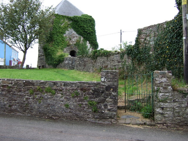
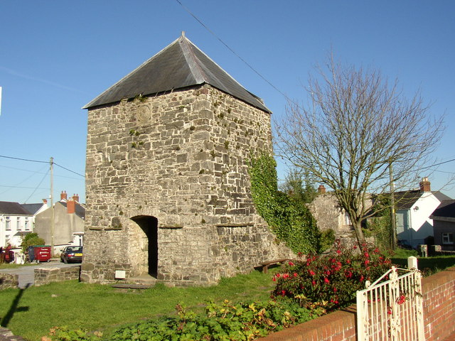
Maen Melyn

Heritage Site in Carmarthenshire

Wales

Maen Melyn

Orchard House, Llansteffan In the 1950-60s, this was the home of the artist and illustrator Stanley Lewis MBE, ARCA, FRSA, NDD.
Web site:  <span class="nowrap"><a title="www.virtuallyhere.co.uk/story.php?story_id=1" rel="nofollow ugc noopener" href="http://www.virtuallyhere.co.uk/story.php?story_id=1">Link</a><img style="margin-left:2px;" alt="External link" title="External link - shift click to open in new window" src="https://s1.geograph.org.uk/img/external.png" width="10" height="10"/></span>
Orchard House, Llansteffan Credit: Gethin Evans

The requested URL returned error: 429 Too Many Requests

If you have any feedback on the listing, please let us know in the comments section below.
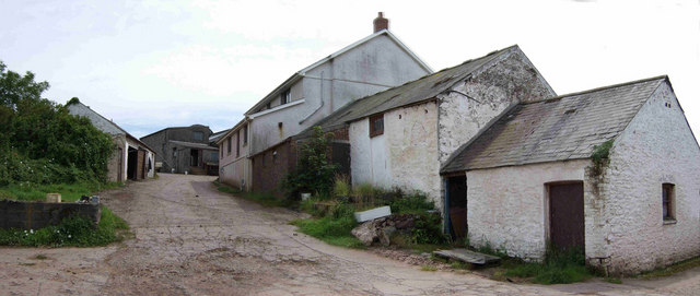
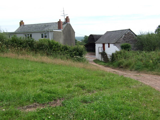
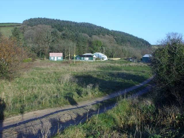
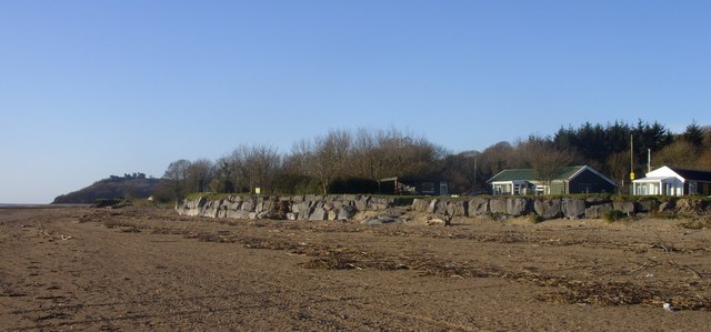
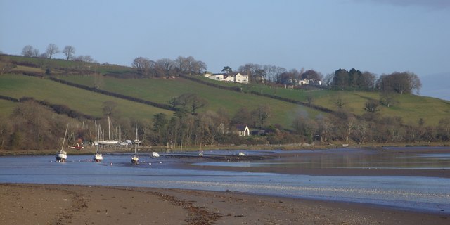
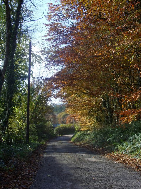
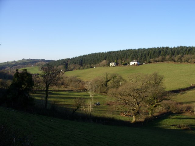
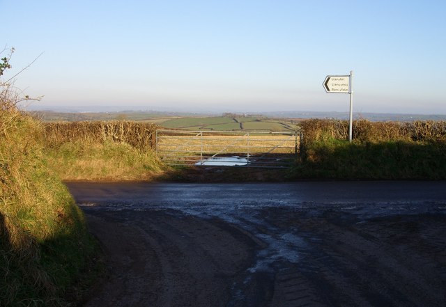
Maen Melyn Images

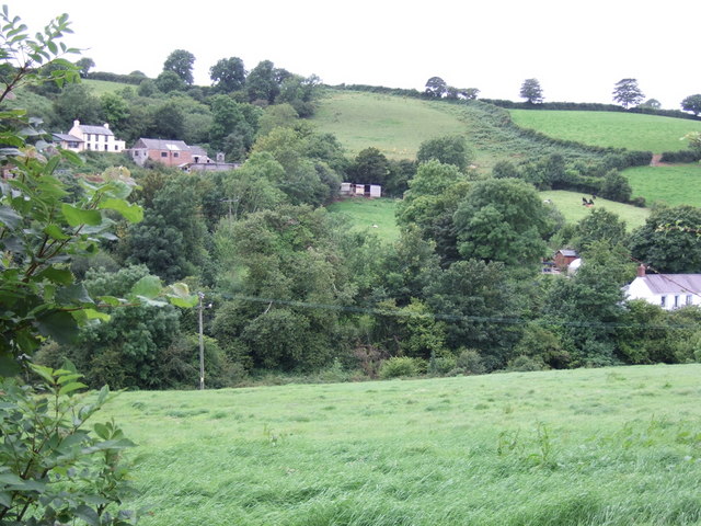
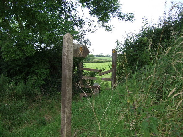
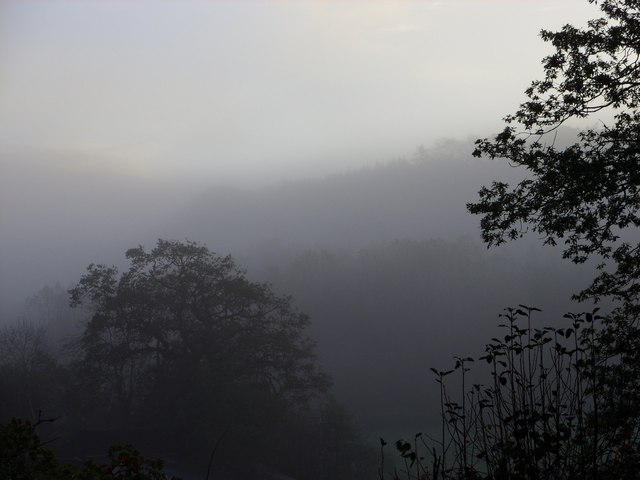
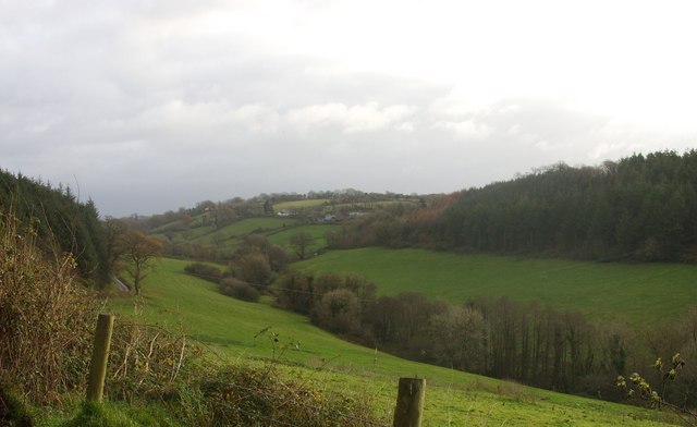
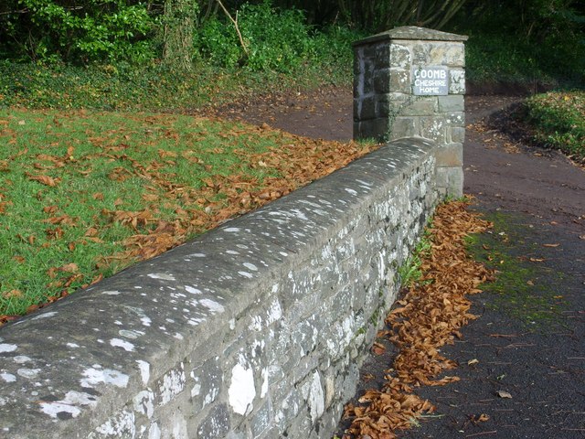
Images are sourced within 2km of 51.787/-4.4 or Grid Reference SN3412. Thanks to Geograph Open Source API. All images are credited.

Orchard House, Llansteffan In the 1950-60s, this was the home of the artist and illustrator Stanley Lewis MBE, ARCA, FRSA, NDD.
Web site:  <span class="nowrap"><a title="www.virtuallyhere.co.uk/story.php?story_id=1" rel="nofollow ugc noopener" href="http://www.virtuallyhere.co.uk/story.php?story_id=1">Link</a><img style="margin-left:2px;" alt="External link" title="External link - shift click to open in new window" src="https://s1.geograph.org.uk/img/external.png" width="10" height="10"/></span>
Orchard House, Llansteffan
In the 1950-60s, this was the home of the artist and illustrator Stanley Lewis MBE, ARCA, FRSA, NDD. Web site: LinkExternal link
Cwmllyfri Farm Some 50 years ago, Welsh artist, Stanley Lewis, painted this very scene entitled 'Welsh Hill Farm, Cwmllyfri' (Carmarthen Museum Art Collection)
Cwmllyfri Farm
Some 50 years ago, Welsh artist, Stanley Lewis, painted this very scene entitled 'Welsh Hill Farm, Cwmllyfri' (Carmarthen Museum Art Collection)
Maen Llwyd standing stone This is one of many ancient standing stones throughout Wales called Maen Llwyd (Grey Stone). This one is on a hilltop overlooking the Tywi valley near Llansteffan.
Maen Llwyd standing stone
This is one of many ancient standing stones throughout Wales called Maen Llwyd (Grey Stone). This one is on a hilltop overlooking the Tywi valley near Llansteffan.
Maesgwyn Farm View of the back of the house from the north west.
Maesgwyn Farm
View of the back of the house from the north west.
Hillside farm Typical hillside farm near Llansteffan
Hillside farm
Typical hillside farm near Llansteffan
Hen Gapel, Llanybri The ruins of Old Chapel in the village of Llanybri. An ancient church, last used as a Nonconformist chapel for over 200 years until 1960.
Hen Gapel, Llanybri
The ruins of Old Chapel in the village of Llanybri. An ancient church, last used as a Nonconformist chapel for over 200 years until 1960.
Stile near Maen Melyn
The tower of the old chapel, Llanybri, Llansteffan This is a low tower with thick walls. An interesting feature is the clock, carved in stone where a real clock might be.
The tower of the old chapel, Llanybri, Llansteffan
This is a low tower with thick walls. An interesting feature is the clock, carved in stone where a real clock might be.
Morning mist over Allt y Ricet
Coomb Cheshire Home Cwm (Coomb) <span class="nowrap"><a title="http://carmarthenshirehistorian.org/cgi-bin/twiki/view/Historian/CwmCoombACarmarthenshireHouseAndItsFamilies" rel="nofollow ugc noopener" href="http://carmarthenshirehistorian.org/cgi-bin/twiki/view/Historian/CwmCoombACarmarthenshireHouseAndItsFamilies">Link</a><img style="margin-left:2px;" alt="External link" title="External link - shift click to open in new window" src="https://s1.geograph.org.uk/img/external.png" width="10" height="10"/></span> , between Llangynog and Llanybri. At the time that this photo was taken it was a Leonard Cheshire residential care home <span class="nowrap"><a title="http://www.lcdisability.org/" rel="nofollow ugc noopener" href="http://www.lcdisability.org/">Link</a><img style="margin-left:2px;" alt="External link" title="External link - shift click to open in new window" src="https://s1.geograph.org.uk/img/external.png" width="10" height="10"/></span> . It is soon to be re-developed for residential flats and housing now that the care home has re-located to new purpose built facilities in Carmarthen.
Coomb Cheshire Home
Cwm (Coomb) LinkExternal link , between Llangynog and Llanybri. At the time that this photo was taken it was a Leonard Cheshire residential care home LinkExternal link . It is soon to be re-developed for residential flats and housing now that the care home has re-located to new purpose built facilities in Carmarthen.
Valley View Looking towards Dre-fach farm from the entrance to Coomb Cheshire with Allt y Brain (woods) to the right.
Valley View
Looking towards Dre-fach farm from the entrance to Coomb Cheshire with Allt y Brain (woods) to the right.
Stone Wall Stone wall and sign at the eastern entrance to Coomb Cheshire Home.
Stone Wall
Stone wall and sign at the eastern entrance to Coomb Cheshire Home.
The track to Ferry Point Some of the cottages at Ferry Point which is located between the River Tawe (Afon Tywi) and the road to Llansteffan.
The track to Ferry Point
Some of the cottages at Ferry Point which is located between the River Tawe (Afon Tywi) and the road to Llansteffan.
Sea defences and cottages at Ferry Point At one time a ferry crossed the River Towy to Ferryside from here.Llanstephan Castle can be seen in the left side of the photo.
Sea defences and cottages at Ferry Point
At one time a ferry crossed the River Towy to Ferryside from here.Llanstephan Castle can be seen in the left side of the photo.
The Towy The Towy Boat Club on a bend in the river with Pant yr Athro holiday centre on the hill above.
The Towy
The Towy Boat Club on a bend in the river with Pant yr Athro holiday centre on the hill above.
Lane towards Coomb Mill Lane towards Coomb Mill (farm) with Coed Hendre (Hendre Woods) just visible in the distance.
Lane towards Coomb Mill
Lane towards Coomb Mill (farm) with Coed Hendre (Hendre Woods) just visible in the distance.
Allt Ysgubog A view of Ysgubog Woods and the valley towards Coomb. For a view from the opposite direction see <a title="https://www.geograph.org.uk/photo/1054244" href="https://www.geograph.org.uk/photo/1054244">Link</a> .
Allt Ysgubog
A view of Ysgubog Woods and the valley towards Coomb. For a view from the opposite direction see Link .
Gate on the road to Llanybri Facing towards Carmarthen and taken from the lane leading to Down Farm.
Gate on the road to Llanybri
Facing towards Carmarthen and taken from the lane leading to Down Farm.
Show me another place!

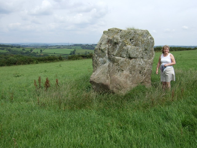
Maen Melyn is located at Grid Ref: SN3412 (Lat: 51.787, Lng: -4.4)

Unitary Authority: Carmarthenshire

Police Authority: Dyfed Powys

What 3 Words

///outs.unless.claw. Near Llansteffan, Carmarthenshire

Nearby Locations

Maen Melyn

Related Wikis

Llanybri

Llanybri is a rural farming village situated between the estuaries of the River Tywi and River Taf in Carmarthenshire, Wales. It is one of two villages...

Yr Hen Gapel, Llanybri

Yr Hen Gapel (Welsh for The Old Chapel) is a now ruined religious building and scheduled ancient monument in the village of Llanybri, Carmarthenshire,...
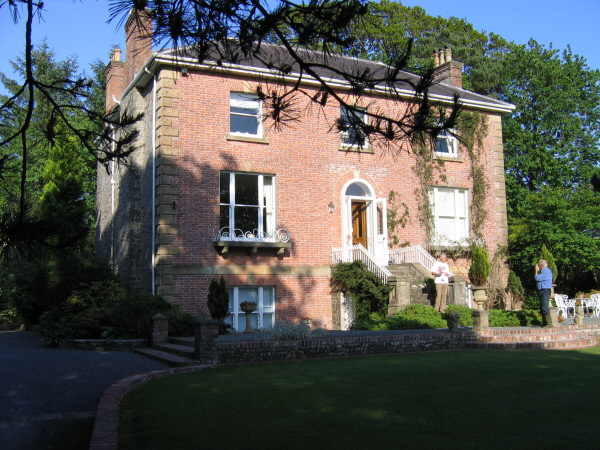
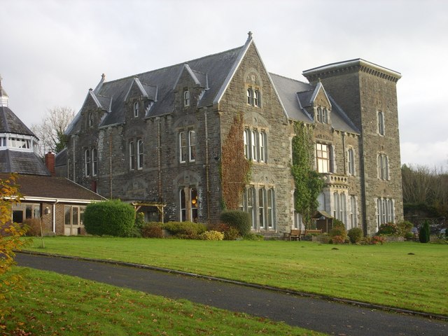
Plas Llanstephan

Plas Llanstephan is a mansion in the county of Carmarthenshire, Wales. It is set well back from the public road among pasture fields and is reached by...

Llansteffan

Llansteffan, is a village and community situated on the south coast of Carmarthenshire, Wales, lying on the estuary of the River Tywi, 7 miles (11 km)...

Nearby Amenities

Located within 500m of 51.787,-4.4
Give Way
Direction: forward
Lat/Long: 51.7863404/-4.398736
Give Way
Direction: backward
Lat/Long: 51.789951/-4.396749
The data included in this document is from www.openstreetmap.org. The data is made available under ODbL.

Have you been to Maen Melyn?

Leave your review of Maen Melyn below (or comments, questions and feedback).