Ludgershall Castle

Heritage Site in Wiltshire

England

Ludgershall Castle

Ludgershall, Wiltshire Looking over farmland in the vicinity of Ludgershall towards Crawlboy's Farm.
Ludgershall, Wiltshire Credit: Rebecca A Wills

Ludgershall Castle, located in the county of Wiltshire, England, is a historic site of great significance. The castle dates back to the 12th century and is considered one of the best-preserved examples of a Norman motte-and-bailey castle in the country.

The castle was built by the Bishop of Salisbury, Bishop Roger, in the late 11th or early 12th century. It was strategically positioned to oversee the border between England and Wales and served as a defensive stronghold. The castle underwent several modifications and expansions over the years, with the addition of a stone keep and a curtain wall in the 13th century.

The main feature of Ludgershall Castle is its imposing motte, a large man-made mound, which stands at around 12 meters in height. The motte is surrounded by a deep ditch, offering further protection. The bailey, an enclosed area adjacent to the motte, housed various buildings including a great hall, stables, and living quarters.

During the medieval period, the castle played an important role as a royal residence and administrative center. It also served as a hunting lodge for the kings of England. However, by the 16th century, Ludgershall Castle fell into disrepair and was eventually abandoned.

Today, Ludgershall Castle is a designated heritage site managed by English Heritage. Visitors can explore the remains of the castle, including the motte, ditch, and sections of the curtain wall. Interpretive panels provide historical information, allowing visitors to understand the castle's significance and its role in medieval times.

If you have any feedback on the listing, please let us know in the comments section below.

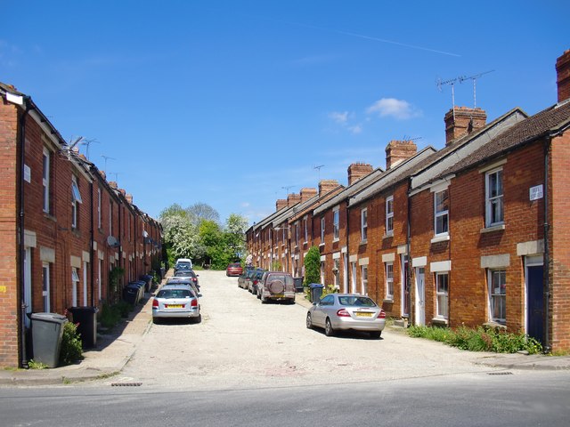
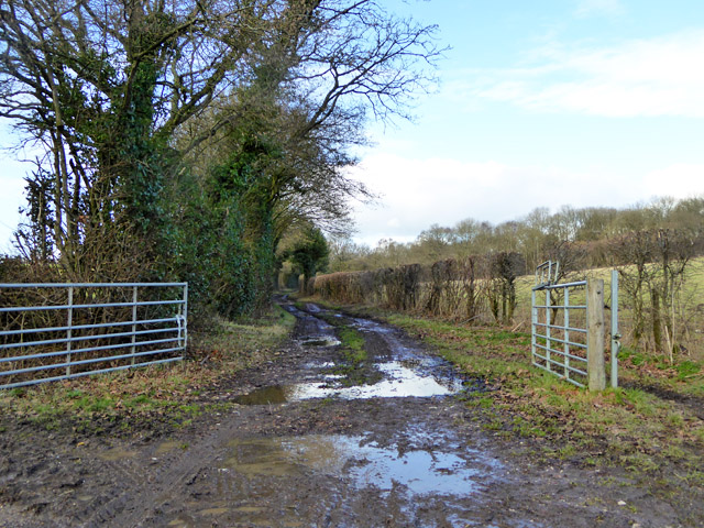
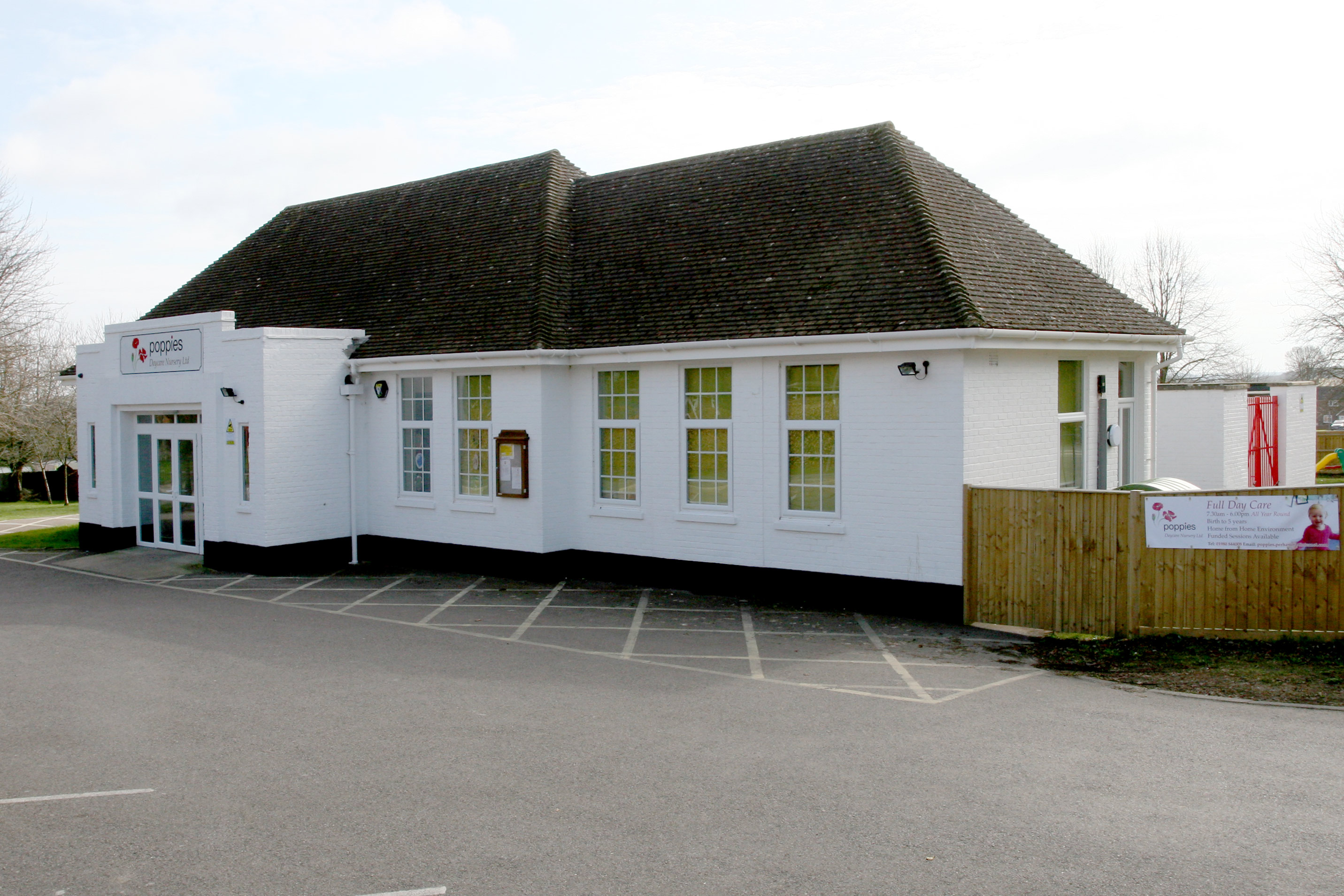
Ludgershall Castle Images

Images are sourced within 2km of 51.262/-1.62 or Grid Reference SU2651. Thanks to Geograph Open Source API. All images are credited.

Ludgershall, Wiltshire Looking over farmland in the vicinity of Ludgershall towards Crawlboy's Farm.
Ludgershall, Wiltshire
Looking over farmland in the vicinity of Ludgershall towards Crawlboy's Farm.
Windmillhill Down, Wiltshire Windmillhill after a rain storm.
Windmillhill Down, Wiltshire
Windmillhill after a rain storm.
Water towers at Faberstown
Andover Road, Faberstown
Farmland, Collingbourne Ducis A bridleway heading along the westernmost extremity of Collinbourne Wood approaches a field of cattle.
Farmland, Collingbourne Ducis
A bridleway heading along the westernmost extremity of Collinbourne Wood approaches a field of cattle.
Bulls Drove
Bulls Drove
Trees and housing beside Wood Park
Field edge path towards Oxdown Copse
Field east of Crawlboys Road
Line of trees leading to Stert Copse A thin line of trees dividing the fields and providing a corridor between two copses.
Line of trees leading to Stert Copse
A thin line of trees dividing the fields and providing a corridor between two copses.
Edge of Fairoak Copse Taken just as the footpath emerges from the woodland and continues southwards along the edge of the field.
Edge of Fairoak Copse
Taken just as the footpath emerges from the woodland and continues southwards along the edge of the field.
Bell Street, Ludgershall I am not the first member of the Geograph community to notice this street - and I think I know why.  It is situated about half a mile east of the town centre, and most of the housing stock along that stretch of the A342 looks more recent - either post-1950 or drastically modernised.

I wonder whether Bell Street was built by some industrial employer.  For instance, the Midland & South Western Junction Railway ran close by, and had a depot in Ludgershall.
Bell Street, Ludgershall
I am not the first member of the Geograph community to notice this street - and I think I know why. It is situated about half a mile east of the town centre, and most of the housing stock along that stretch of the A342 looks more recent - either post-1950 or drastically modernised. I wonder whether Bell Street was built by some industrial employer. For instance, the Midland & South Western Junction Railway ran close by, and had a depot in Ludgershall.
Remains of earthworks at Ludgershall Castle
The Queens Head, Ludgershall
Flint and brick houses at Ludgershall
High Street, Ludgershall
Bulls Drove A public bridleway giving access to an extensive network of public tracks and paths rather remote from surfaced roads.
Bulls Drove
A public bridleway giving access to an extensive network of public tracks and paths rather remote from surfaced roads.
In search of the M&SWJ: northward towards Collingbourne Ducis Photo taken from what was once a hump-back bridge over a railway line.  The track was lifted in 1961, and the arch of the bridge filled in, leaving a chalky mound.  The track alignment must - I think - have run along the low embankment on the left.  A well-used path (not shown by the OS as a right of way) runs parallel to the embankment on its eastern side.

The Midland & South Western Junction Railway existed as an independent entity from 1884 until 1923, when it was absorbed into the Great Western.  Its main line (if 'main line' you could call it) ran cross-country from Swindon south to Andover and north-west to reach Cheltenham. No doubt its busiest times were during the two world wars.

Looking at this stretch of countryside in 2017, I find it hard to believe that once - as a boy - I made a train journey that took me past this very spot.  But I did, and somewhere I still have the ticket to prove it.
In search of the M&SWJ: northward towards Collingbourne Ducis
Photo taken from what was once a hump-back bridge over a railway line. The track was lifted in 1961, and the arch of the bridge filled in, leaving a chalky mound. The track alignment must - I think - have run along the low embankment on the left. A well-used path (not shown by the OS as a right of way) runs parallel to the embankment on its eastern side. The Midland & South Western Junction Railway existed as an independent entity from 1884 until 1923, when it was absorbed into the Great Western. Its main line (if 'main line' you could call it) ran cross-country from Swindon south to Andover and north-west to reach Cheltenham. No doubt its busiest times were during the two world wars. Looking at this stretch of countryside in 2017, I find it hard to believe that once - as a boy - I made a train journey that took me past this very spot. But I did, and somewhere I still have the ticket to prove it.
Show me another place!

Ludgershall Castle is located at Grid Ref: SU2651 (Lat: 51.262, Lng: -1.62)

Unitary Authority: Wiltshire

Police Authority: Wiltshire

What 3 Words

///wrenching.earlobes.port. Near Ludgershall, Wiltshire

Related Wikis

Ludgershall Castle

Ludgershall Castle is a ruined 12th-century fortified royal residence at Ludgershall in Wiltshire, England. Three large walls still remain of the castle...

Ludgershall, Wiltshire

Ludgershall ( LUG-ər-shawl, with a hard g) is a town and civil parish 16 miles (26 km) north east of Salisbury, Wiltshire, England. It is on the A342 road...

Perriam Down

Perriam Down or Perriam Downs, near Ludgershall, Wiltshire, England was a venue for five first-class cricket matches and at least three other matches between...

Ludgershall railway station, Wiltshire

Ludgershall railway station was a railway station which served the town of Ludgershall in Wiltshire, England from 1882 to 1961. == History == The station...

Faberstown

Faberstown is a settlement in the civil parish of Ludgershall, Wiltshire, England. Its nearest town is Andover, approximately 6 miles (9.7 km) to the...

Perham Down

Perham Down is a village in Wiltshire, England, in Tidworth parish on the eastern edge of Salisbury Plain. It lies on a minor road about 1+1⁄2 miles (2...

Swinton Barracks

Swinton Barracks is a military installation accommodating two engineer regiments at Perham Down in Wiltshire, England. The site is on the east edge of...

Biddesden House

Biddesden House (or Biddesden Park) is a Grade I listed English country house in east Wiltshire, about 5 miles (8 km) north-west of Andover, Hampshire...

Nearby Amenities

Located within 500m of 51.262,-1.62
Power: pole
Lat/Long: 51.2587257/-1.6164386
Power: pole
Lat/Long: 51.2592226/-1.6156769
Power: pole
Lat/Long: 51.2596926/-1.6149366
Power: pole
Lat/Long: 51.2601693/-1.6141802
Power: pole
Lat/Long: 51.2606594/-1.6134667
Power: pole
Lat/Long: 51.2589775/-1.6163313
Power: pole
Lat/Long: 51.2596959/-1.6179085
Power: pole
Lat/Long: 51.2599208/-1.6256172
Power: pole
Lat/Long: 51.2608675/-1.6253972
Power: pole
Lat/Long: 51.2618679/-1.6251719
Power: pole
Lat/Long: 51.2582457/-1.6171414
Power: pole
Lat/Long: 51.2587325/-1.6179353
Power: pole
Lat/Long: 51.2591521/-1.6187239
Power: pole
Lat/Long: 51.2596355/-1.6195017
Power: pole
Lat/Long: 51.2601122/-1.6203171
Power: pole
Lat/Long: 51.2605385/-1.6210467
Power: pole
Lat/Long: 51.2609951/-1.6218084
Power: pole
Lat/Long: 51.2614617/-1.6226131
Power: pole
Lat/Long: 51.2619115/-1.6234177
Power: pole
Lat/Long: 51.2624016/-1.6241473
Power: pole
Lat/Long: 51.2628313/-1.6249251
Power: pole
Lat/Long: 51.2633146/-1.6257298
Power: pole
Lat/Long: 51.2637208/-1.6264165
Power: pole
Lat/Long: 51.2604177/-1.6194964
Power: pole
Lat/Long: 51.2609716/-1.6208106
Power: pole
Lat/Long: 51.2616732/-1.622377
Power: pole
Lat/Long: 51.2624889/-1.623745
Generator Output Electricity: yes
Generator Source: solar
Generator Type: solar_photovoltaic_panel
Location: roof
Power: generator
Lat/Long: 51.2578915/-1.6174525
Generator Output Electricity: yes
Generator Source: solar
Generator Type: solar_photovoltaic_panel
Location: roof
Power: generator
Lat/Long: 51.257863/-1.6175625
Generator Output Electricity: yes
Generator Source: solar
Generator Type: solar_photovoltaic_panel
Location: roof
Power: generator
Lat/Long: 51.2578411/-1.6177797
Generator Output Electricity: yes
Generator Source: solar
Generator Type: solar_photovoltaic_panel
Location: roof
Power: generator
Lat/Long: 51.2578562/-1.6178951
Generator Output Electricity: yes
Generator Source: solar
Generator Type: solar_photovoltaic_panel
Location: roof
Power: generator
Lat/Long: 51.2578848/-1.6180399
Generator Output Electricity: yes
Generator Source: solar
Generator Type: solar_photovoltaic_panel
Location: roof
Power: generator
Lat/Long: 51.2579032/-1.618174
Generator Output Electricity: yes
Generator Source: solar
Generator Type: solar_photovoltaic_panel
Location: roof
Power: generator
Lat/Long: 51.2582641/-1.6228598
Generator Output Electricity: yes
Generator Source: solar
Generator Type: solar_photovoltaic_panel
Location: roof
Power: generator
Lat/Long: 51.2582692/-1.6227901
The data included in this document is from www.openstreetmap.org. The data is made available under ODbL.

Have you been to Ludgershall Castle?

Leave your review of Ludgershall Castle below (or comments, questions and feedback).