Lodge Fm
Heritage Site in Dorset
England
Lodge Fm
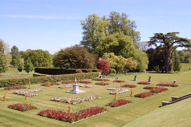
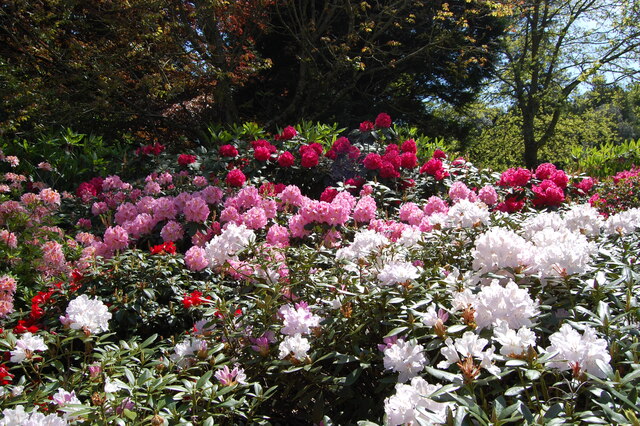
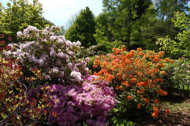
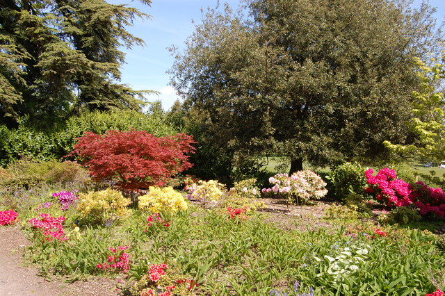
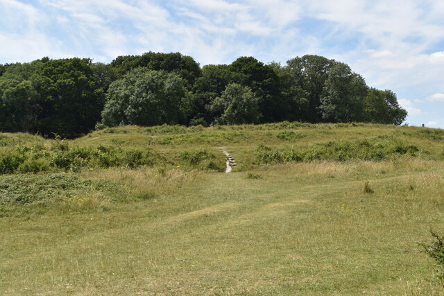
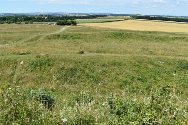
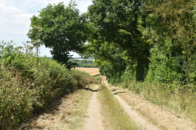
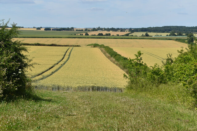
Lodge Farm, located in Dorset, England, is a historic heritage site that holds significant cultural and historical value. The farm is situated in a rural setting, surrounded by picturesque landscapes and rolling hills, providing visitors with a tranquil and idyllic atmosphere.
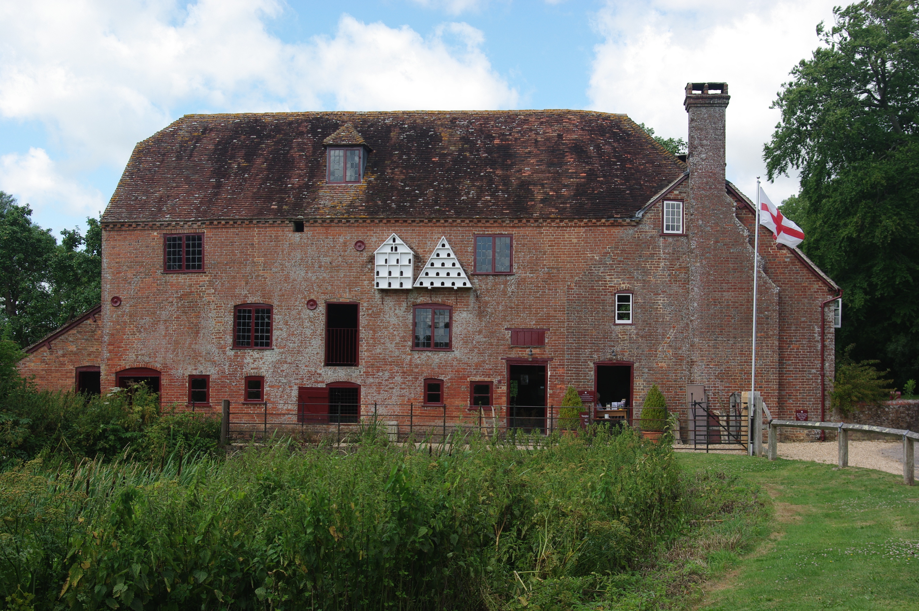
Dating back to the 16th century, Lodge Farm has been meticulously preserved and showcases the architectural style and agricultural practices of the period. The main farmhouse is a stunning example of a traditional Dorset longhouse, featuring a thatched roof and exposed timber frames. The interior of the house has been carefully restored to reflect the original layout and design, offering visitors a glimpse into daily life during the time.
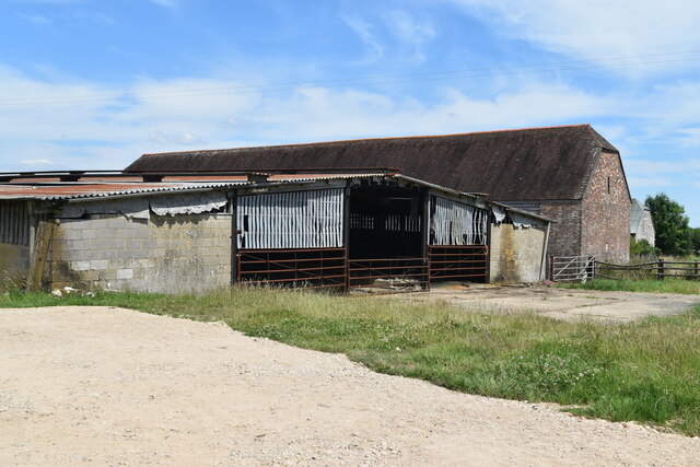
In addition to the farmhouse, Lodge Farm boasts a range of outbuildings, including barns, stables, and granaries, all of which are indicative of the farm's historical importance and its role in the local economy. These structures have been expertly maintained, allowing visitors to appreciate the craftsmanship and functionality of the buildings.
The farm also features a small museum that houses a collection of artifacts and exhibits detailing the history of Lodge Farm and its surrounding area. Visitors can learn about the evolution of farming techniques, the local community's way of life, and the various industries that have thrived in the region over the centuries.
Lodge Farm in Dorset provides a unique opportunity for visitors to immerse themselves in the rich history and heritage of the area. The site offers guided tours, educational programs, and special events throughout the year, ensuring that both locals and tourists can appreciate the significance of this remarkable heritage site.
If you have any feedback on the listing, please let us know in the comments section below.
Lodge Fm Images
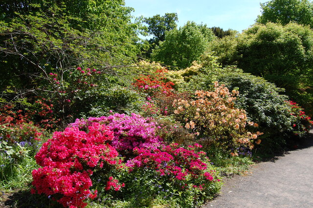
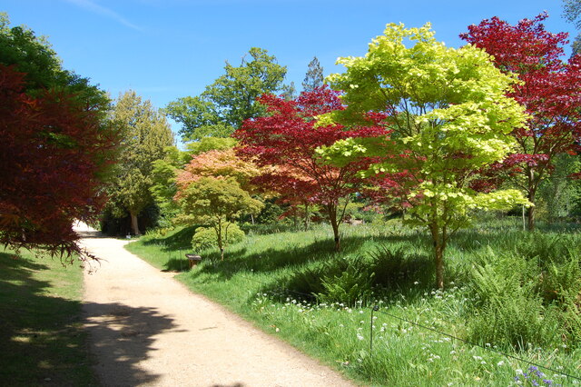
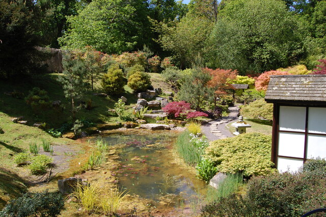
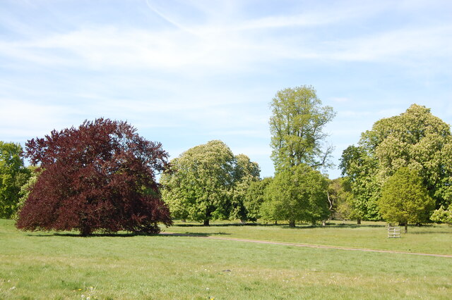
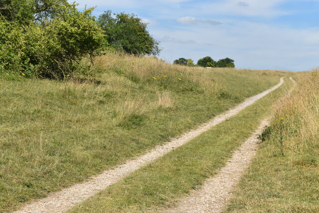
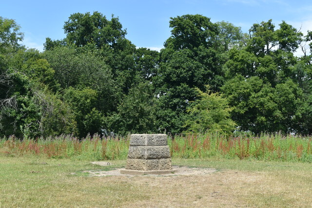
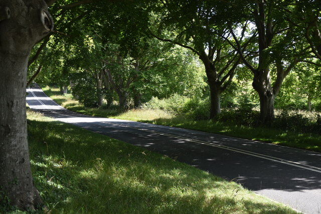
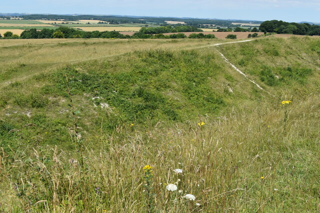
Images are sourced within 2km of 50.822/-2.035 or Grid Reference ST9702. Thanks to Geograph Open Source API. All images are credited.
Lodge Fm is located at Grid Ref: ST9702 (Lat: 50.822, Lng: -2.035)
What 3 Words
///beauty.shadow.plans. Near Sturminster Marshall, Dorset
Nearby Locations
Related Wikis

Kingston Lacy
Kingston Lacy is a country house and estate near Wimborne Minster, Dorset, England. It was for many years the family seat of the Bankes family who lived...

Badbury Rings
Badbury Rings is an Iron Age hill fort and Scheduled Monument in east Dorset, England. It was in the territory of the Durotriges. In the Roman era a temple...

Philae obelisk
The Philae obelisk is one of a pair of twin obelisks erected at Philae in Upper Egypt in the second century BC. It was discovered by William John Bankes...

St Stephen's Church, Pamphill
St Stephen's is the parish church of Pamphill in Dorset, England.The current church lies on the site of a former church dating from 1229. The current church...
White Mill, Sturminster Marshall
White Mill is an 18th-century water powered corn mill near Sturminster Marshall in Dorset on the River Stour which is in the care of the National Trust...

Badbury Hundred
Badbury Hundred was a hundred in the county of Dorset, England, which took its name from the earthwork of Badbury Rings. It contained the following parishes...
Pamphill
Pamphill is a village in south-east Dorset, England, just outside Wimborne Minster, four miles north of Poole. The village has a population of 704 (2001...

The Vine, Pamphill
The Vine Inn is a public house at Vine Hill, Pamphill, Dorset BH21 4EE. It is on the Campaign for Real Ale's National Inventory of Historic Pub Interiors...
Nearby Amenities
Located within 500m of 50.822,-2.035Have you been to Lodge Fm?
Leave your review of Lodge Fm below (or comments, questions and feedback).