Llwyn-bedw
Heritage Site in Caernarfonshire
Wales
Llwyn-bedw
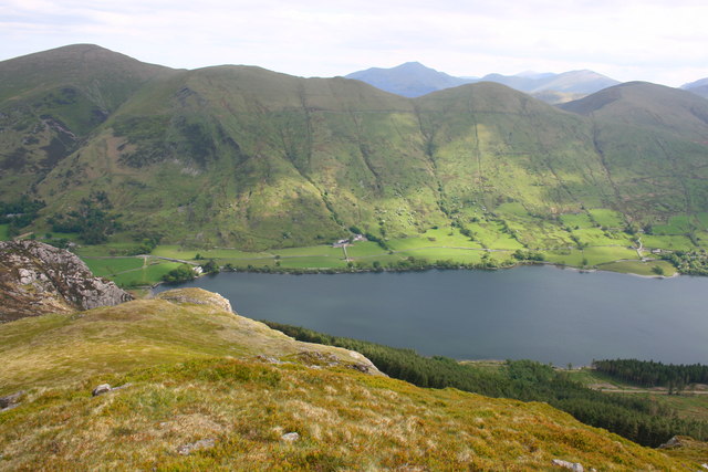
Llwyn-bedw is a historic site located in Caernarfonshire, Wales. It is recognized as a heritage site due to its cultural and historical significance. The site is situated amidst the picturesque Snowdonia National Park, offering breathtaking views of the surrounding mountains and landscapes.
Llwyn-bedw is renowned for its well-preserved ancient stone circle, which dates back to the late Neolithic or early Bronze Age period. The stone circle consists of approximately 30 stones, standing upright in a circular formation. The purpose and meaning behind the stone circle remain a subject of speculation and intrigue, adding to its allure.
In addition to the stone circle, Llwyn-bedw features several burial cairns and standing stones in its vicinity, providing insights into the burial customs and rituals of the ancient inhabitants of the region. Archaeological excavations have revealed various artifacts and remains, shedding light on the lives and practices of these early settlers.
The site is accessible to the public, allowing visitors to explore and appreciate its historical significance. Interpretive information boards are strategically placed throughout the site, providing visitors with valuable insights into the site's history, archaeological discoveries, and cultural importance.
Llwyn-bedw offers a unique opportunity for visitors to immerse themselves in the rich heritage of Caernarfonshire and engage with the ancient past. The site's tranquility and natural beauty make it an ideal destination for history enthusiasts, nature lovers, and those seeking a peaceful retreat in the heart of the Welsh countryside.
If you have any feedback on the listing, please let us know in the comments section below.
Llwyn-bedw Images
Images are sourced within 2km of 53.103/-4.188 or Grid Reference SH5358. Thanks to Geograph Open Source API. All images are credited.
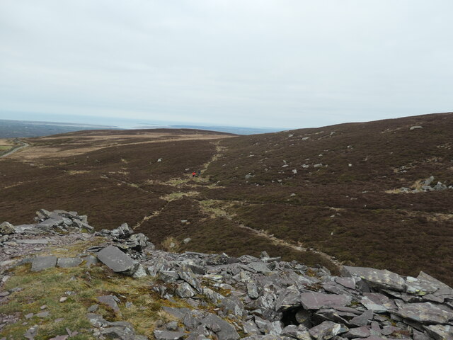
![Diwedd y domen lechi / the end of the slate tip The tipping point on one of the slate tips on the south side of Cefn Du. Waste slate from Chwarel Fawr [Cefn Du] was dumped here off the end of each tip. The tramway on this particular tip was not mapped by the OS in 1888, but was mapped in 1899. It had disappeared by 1913, but the tip itself still remains.](https://s1.geograph.org.uk/geophotos/07/42/84/7428437_e533fc93.jpg)
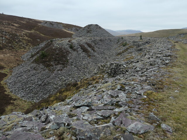
![Y man gollwng ar y domen lechi / The slate tip's tipping point [1] Built up so the wagon can tip up. Waste slate from Chwarel Fawr [Cefn Du] was dumped here off the end of each tip. The tramway on this particular tip was not mapped by the OS in 1888, but was mapped in 1899. It had disappeared by 1913, but the tip itself still remains.](https://s2.geograph.org.uk/geophotos/07/42/84/7428442_da1d5d5e.jpg)
![Coeden ar y domen lechi / Tree on the slate tip It's common enough to see small conifers growing on the Chwarel Fawr [Cefn Du] slate tips, but very unusual to see a deciduous tree.](https://s3.geograph.org.uk/geophotos/07/42/86/7428627_c55f6f6a.jpg)
![Coeden binwydd ar y domen lechi / Pine tree on the slate tip Small conifers are beginning to colonise the slate tips of Chwarel Fawr [Cefn Du].](https://s2.geograph.org.uk/geophotos/07/42/86/7428634_03daf28f.jpg)
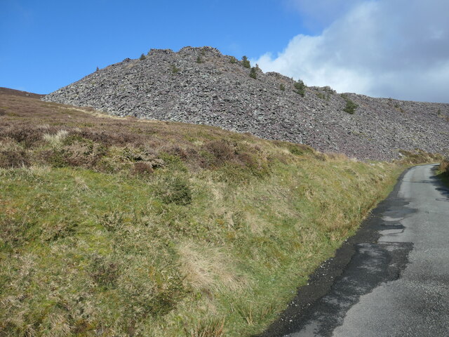
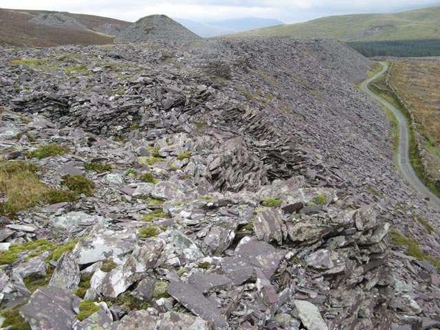
![Diwedd y domen llechen hir / The end of the long slate tip Built up so the wagon can tip up. Waste slate from Chwarel Fawr [Cefn Du] was dumped here off the end of each tip. The tramway on this particular tip was mapped by the OS in 1888 and 1899. It had disappeared by 1913, but the tip itself still remains.](https://s1.geograph.org.uk/geophotos/07/42/86/7428637_16f9bd34.jpg)


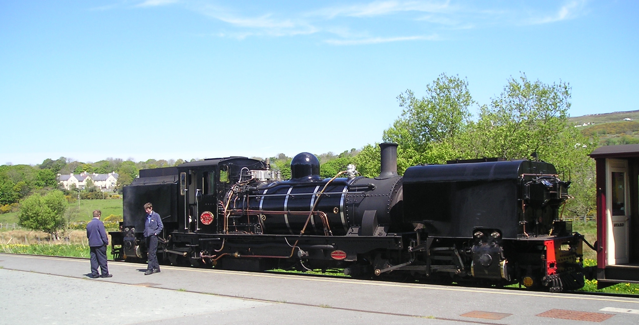
![Caernarfon bound train at Waunfawr The train is being hauled by an ex South African railways Garratt type [2-6-2 + 2-6-2] locomotive built in Manchester in 1958.](https://s3.geograph.org.uk/geophotos/05/56/32/5563239_4a39f073.jpg)
Llwyn-bedw is located at Grid Ref: SH5358 (Lat: 53.103, Lng: -4.188)
What 3 Words
///shopping.basically.list. Near Llanberis, Gwynedd
Nearby Locations
Related Wikis

Betws Garmon
Betws Garmon is a community and small hamlet outside Waunfawr and near Beddgelert in Gwynedd, Wales. It has a population of 249.The summit of Snowdon...
Waunfawr railway station
Waunfawr is a station on the narrow gauge Welsh Highland Railway, which was built in 1877 as the North Wales Narrow Gauge Railways Moel Tryfan Undertaking...

Waunfawr
Waunfawr (gwaun + mawr, English: large moorland/meadow) is a village and community, 6 kilometres (3.7 mi) SE of Caernarfon, near the Snowdonia National...

Moel Eilio
Moel Eilio is a mountain in Snowdonia, North Wales, that is situated approximately 3 miles north-west of Snowdon itself. It has two subsidiary tops, Foel...

Plas-y-Nant railway station
Plas-y-Nant is an unstaffed halt on the narrow gauge Welsh Highland Railway. == History == A halt at Plas-y-Nant was first used in the 1920s but closed...

Alexandra quarry
Alexandra quarry was a slate quarry in North Wales, on the slopes of Moel Tryfan in north Gwynedd. It was part of one of the major slate quarrying regions...
Foel Gron
Foel Gron is a peak on the Moel Eilio ridge of hills/mountains in Snowdonia, North Wales. This ridge is used as a hiker's route from Llanberis to the summit...

Moel Tryfan
Moel Tryfan (429 m / 1407 ft) is a small mountain near the villages of Rhosgadfan, Y Fron and Betws Garmon, in northern Gwynedd. The higher and more famous...
Nearby Amenities
Located within 500m of 53.103,-4.188Have you been to Llwyn-bedw?
Leave your review of Llwyn-bedw below (or comments, questions and feedback).