Llancaiach Fawr

Heritage Site in Glamorgan

Wales

Llancaiach Fawr

Ysgol Rhyd Y Grug This school is the Welsh Medium Primary School for the lower Merthyr Valley and is situated at the confluence of the Taff and Taff Bargoed Rivers
Ysgol Rhyd Y Grug Credit: nantcoly

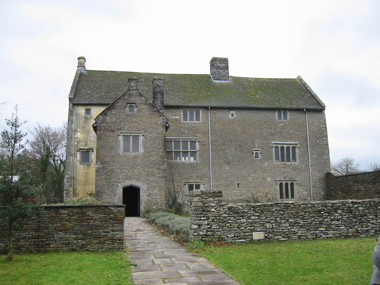
Llancaiach Fawr is a historic manor house located in the county of Glamorgan, Wales. This well-preserved heritage site offers visitors a unique opportunity to step back in time and experience life in the 17th century.

Built in 1550, Llancaiach Fawr was originally home to the Prichard family, who were staunch supporters of the Royalist cause during the English Civil War. The manor house played a significant role during this turbulent period and was visited by important figures such as King Charles I and Sir Henry Herbert, the King's Master of the Horse.

Today, Llancaiach Fawr has been carefully restored to its original condition, providing an authentic glimpse into the past. Visitors can explore the house and its surrounding gardens, which offer a tranquil setting and stunning views of the surrounding countryside.

Inside the manor house, visitors are greeted by costumed guides who bring the 17th-century experience to life. They provide fascinating insights into the daily lives of the Prichard family and the challenges they faced during the Civil War. The rooms are furnished with period-appropriate furniture, artwork, and artifacts, allowing visitors to immerse themselves in the atmosphere of the time.

In addition to the guided tours, Llancaiach Fawr hosts a variety of events and activities throughout the year, including reenactments, traditional crafts demonstrations, and educational workshops. The site also features a gift shop and a café, where visitors can relax and enjoy refreshments.

Overall, Llancaiach Fawr offers a captivating journey through history, providing an invaluable opportunity to learn about and appreciate Wales' rich cultural heritage.

If you have any feedback on the listing, please let us know in the comments section below.

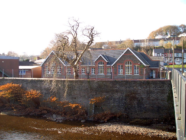
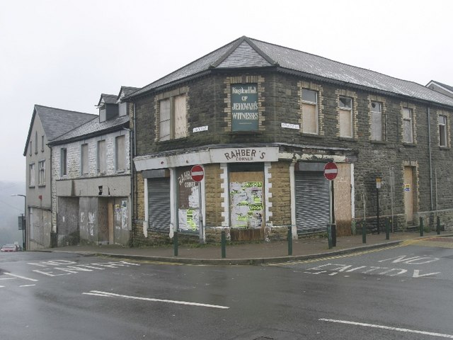
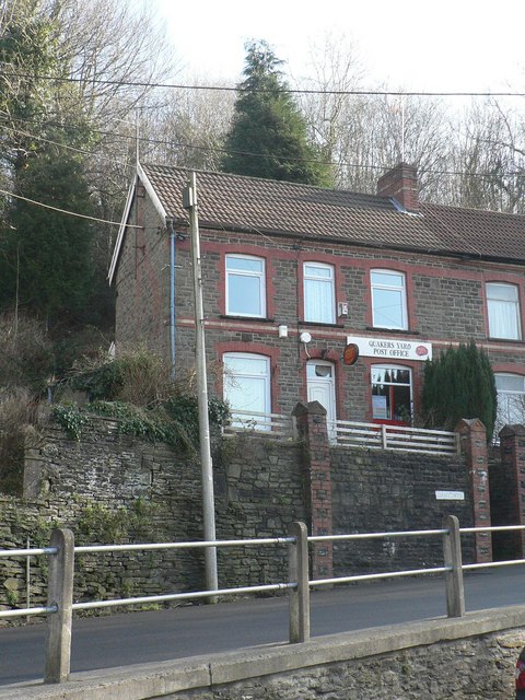
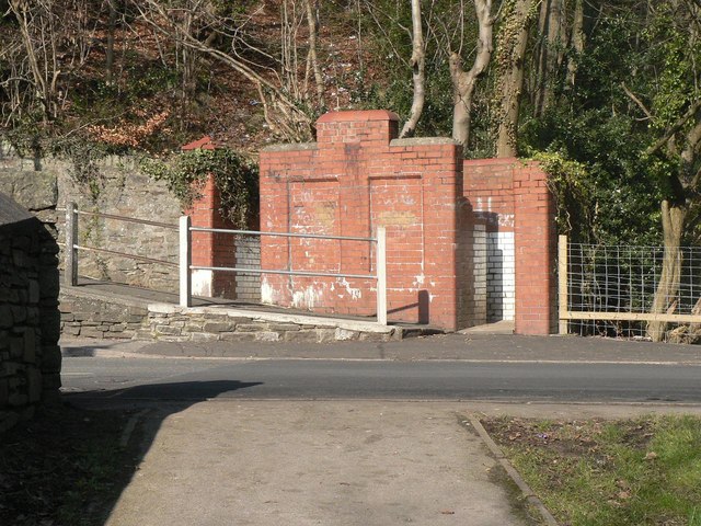
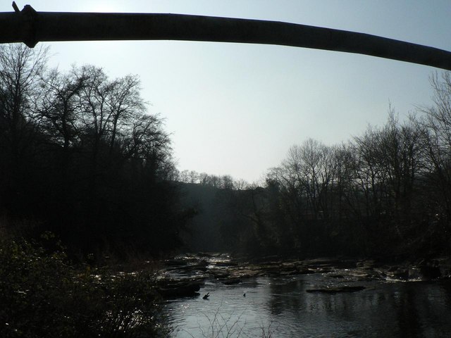
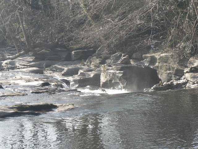
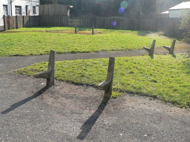
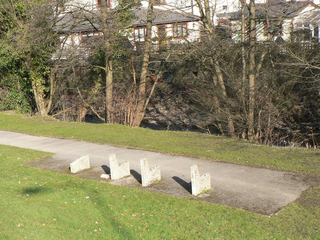
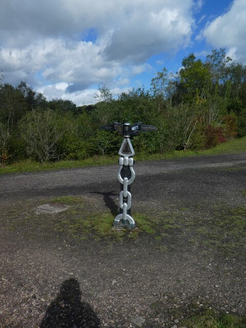
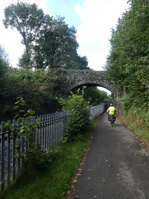
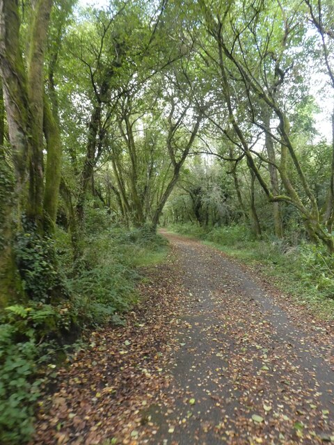
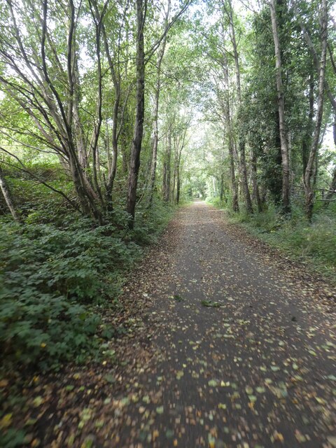
Llancaiach Fawr Images

Images are sourced within 2km of 51.66/-3.28 or Grid Reference ST1196. Thanks to Geograph Open Source API. All images are credited.

Ysgol Rhyd Y Grug This school is the Welsh Medium Primary School for the lower Merthyr Valley and is situated at the confluence of the Taff and Taff Bargoed Rivers
Ysgol Rhyd Y Grug
This school is the Welsh Medium Primary School for the lower Merthyr Valley and is situated at the confluence of the Taff and Taff Bargoed Rivers
Cardiff Road / Perrott Street Junction, Treharris Formerly occupied by the Salvation Army (top floor) and previously by a billiards hall and hairdresser (1950s) Pearks (sp) had a groceries store on the ground floor.
Cardiff Road / Perrott Street Junction, Treharris
Formerly occupied by the Salvation Army (top floor) and previously by a billiards hall and hairdresser (1950s) Pearks (sp) had a groceries store on the ground floor.
Treharris Fire Station Treharris Fire Station, Thomas Street, Treharris
Treharris Fire Station
Treharris Fire Station, Thomas Street, Treharris
Quakers’ Yard: post office This branch will close down at the end of February 2008.
Quakers’ Yard: post office
This branch will close down at the end of February 2008.
Quakers’ Yard: gents’ toilet This most basic of toilet facilities, a steel trough-like urinal is against the back of the central wall, accessible from either entrance. It is open-air and has no facilities for hand washing and there is no equivalent for ladies, as far as I could see. It is made from the finest red sandstone and the design and materials were replicated in other parts of the village.
Quakers’ Yard: gents’ toilet
This most basic of toilet facilities, a steel trough-like urinal is against the back of the central wall, accessible from either entrance. It is open-air and has no facilities for hand washing and there is no equivalent for ladies, as far as I could see. It is made from the finest red sandstone and the design and materials were replicated in other parts of the village.
Quakers’ Yard: pipeline over the Taff A pipe crosses the River Taff (Afon Taf) near the confluence of the Bargoed Taff (Bargod Taf – only the Welsh version is named on the map, unlike the Taff itself).
Quakers’ Yard: pipeline over the Taff
A pipe crosses the River Taff (Afon Taf) near the confluence of the Bargoed Taff (Bargod Taf – only the Welsh version is named on the map, unlike the Taff itself).
Quakers’ Yard: rapids on the Taff Rocky waterfalls where the rivers Taff and Bargoed Taff meet, at Quakers’ Yard.
Quakers’ Yard: rapids on the Taff
Rocky waterfalls where the rivers Taff and Bargoed Taff meet, at Quakers’ Yard.
Quakers’ Yard: standing room only The woodwork of these seats on a small green in Quakers’ Yard has been removed. The concrete remnants look rather alien-like.
Quakers’ Yard: standing room only
The woodwork of these seats on a small green in Quakers’ Yard has been removed. The concrete remnants look rather alien-like.
Quakers’ Yard: riverside path The paved part of this path, between the Bargoed Taff and the main road, comes to an abrupt end, although one can walk on, under the main road to the River Taff. The seats have lost their wooden struts, rendering them useless – this appears to be a local custom: see <a href="https://www.geograph.org.uk/photo/696119">ST0996 : Quakers’ Yard: standing room only</a>.
Quakers’ Yard: riverside path
The paved part of this path, between the Bargoed Taff and the main road, comes to an abrupt end, although one can walk on, under the main road to the River Taff. The seats have lost their wooden struts, rendering them useless – this appears to be a local custom: see ST0996 : Quakers’ Yard: standing room only.
Hole in the river bank at Quakers Yard A small hole bored in the river bank by the current adjacent to the falls at Quakers yard
Hole in the river bank at Quakers Yard
A small hole bored in the river bank by the current adjacent to the falls at Quakers yard
Deep Navigation Colliery, Treharris, view up Fox Street This photograph is taken facing up Fox Street from the entrance gate to the Deep Navigation Colliery in Treharris. See <a href="https://www.geograph.org.uk/photo/1728328">ST1097 : Deep Navigation Colliery, Treharris, South Wales</a>.  This photo was taken during the miners' dispute in 1984.
Deep Navigation Colliery, Treharris, view up Fox Street
This photograph is taken facing up Fox Street from the entrance gate to the Deep Navigation Colliery in Treharris. See ST1097 : Deep Navigation Colliery, Treharris, South Wales. This photo was taken during the miners' dispute in 1984.
Shared path in Penallta Country Park
Protecting wild plants in Penallta Country Park A hillside country park in Caerphilly County - 180 ha of landscaped colliery waste and derelict land incorporating grasslands, woodland, ponds, cycle tracks and footpaths.
Penallta Colliery closed in 1991.
Protecting wild plants in Penallta Country Park
A hillside country park in Caerphilly County - 180 ha of landscaped colliery waste and derelict land incorporating grasslands, woodland, ponds, cycle tracks and footpaths. Penallta Colliery closed in 1991.
Artwork in Penallta Country Park A hillside country park in Caerphilly County - 180 ha of landscaped colliery waste and derelict land incorporating grasslands, woodland, ponds, cycle tracks and footpaths.
Penallta Colliery closed in 1991.
Artwork in Penallta Country Park
A hillside country park in Caerphilly County - 180 ha of landscaped colliery waste and derelict land incorporating grasslands, woodland, ponds, cycle tracks and footpaths. Penallta Colliery closed in 1991.
Bridge over railway and cycle route The National Cycle Network is a network of cycle routes. It was created by the charity Sustrans <span class="nowrap"><a title="http://www.sustrans.org.uk/what-we-do/national-cycle-network" rel="nofollow ugc noopener" href="http://www.sustrans.org.uk/what-we-do/national-cycle-network">Link</a><img style="margin-left:2px;" alt="External link" title="External link - shift click to open in new window" src="https://s1.geograph.org.uk/img/external.png" width="10" height="10"/></span>  (Sustainable Transport), aided by a National Lottery grant.

Many routes aim to minimise contact with motor traffic, though 70% of them are on roads. In some cases the NCN uses pedestrian routes, disused railways, minor roads, canal towpaths, or traffic-calmed routes in towns and cities.
Bridge over railway and cycle route
The National Cycle Network is a network of cycle routes. It was created by the charity Sustrans LinkExternal link (Sustainable Transport), aided by a National Lottery grant. Many routes aim to minimise contact with motor traffic, though 70% of them are on roads. In some cases the NCN uses pedestrian routes, disused railways, minor roads, canal towpaths, or traffic-calmed routes in towns and cities.
NCN47 in woodland east of Nelson The National Cycle Network is a network of cycle routes. It was created by the charity Sustrans <span class="nowrap"><a title="http://www.sustrans.org.uk/what-we-do/national-cycle-network" rel="nofollow ugc noopener" href="http://www.sustrans.org.uk/what-we-do/national-cycle-network">Link</a><img style="margin-left:2px;" alt="External link" title="External link - shift click to open in new window" src="https://s1.geograph.org.uk/img/external.png" width="10" height="10"/></span>  (Sustainable Transport), aided by a National Lottery grant.

Many routes aim to minimise contact with motor traffic, though 70% of them are on roads. In some cases the NCN uses pedestrian routes, disused railways, minor roads, canal towpaths, or traffic-calmed routes in towns and cities.
NCN47 in woodland east of Nelson
The National Cycle Network is a network of cycle routes. It was created by the charity Sustrans LinkExternal link (Sustainable Transport), aided by a National Lottery grant. Many routes aim to minimise contact with motor traffic, though 70% of them are on roads. In some cases the NCN uses pedestrian routes, disused railways, minor roads, canal towpaths, or traffic-calmed routes in towns and cities.
NCN47 in woodland north of Nelson The National Cycle Network is a network of cycle routes. It was created by the charity Sustrans <span class="nowrap"><a title="http://www.sustrans.org.uk/what-we-do/national-cycle-network" rel="nofollow ugc noopener" href="http://www.sustrans.org.uk/what-we-do/national-cycle-network">Link</a><img style="margin-left:2px;" alt="External link" title="External link - shift click to open in new window" src="https://s1.geograph.org.uk/img/external.png" width="10" height="10"/></span>  (Sustainable Transport), aided by a National Lottery grant.

Many routes aim to minimise contact with motor traffic, though 70% of them are on roads. In some cases the NCN uses pedestrian routes, disused railways, minor roads, canal towpaths, or traffic-calmed routes in towns and cities.
NCN47 in woodland north of Nelson
The National Cycle Network is a network of cycle routes. It was created by the charity Sustrans LinkExternal link (Sustainable Transport), aided by a National Lottery grant. Many routes aim to minimise contact with motor traffic, though 70% of them are on roads. In some cases the NCN uses pedestrian routes, disused railways, minor roads, canal towpaths, or traffic-calmed routes in towns and cities.
Sustrans milestone on NCN47 with NHS decoration Not sure if the colouring is by Sustrans, but it has been done very skilfully!
Sustrans milestone on NCN47 with NHS decoration
Not sure if the colouring is by Sustrans, but it has been done very skilfully!
Show me another place!

Llancaiach Fawr is located at Grid Ref: ST1196 (Lat: 51.66, Lng: -3.28)

Unitary Authority: Caerphilly

Police Authority: Gwent

What 3 Words

///toffee.microfilm.flexibly. Near Nelson, Caerphilly

Related Wikis

Llancaiach Fawr

Llancaiach Fawr Manor is a Tudor manor house near the village of Nelson, located just to the north of the site of the former Llancaiach Colliery in the...

Llancaiach Colliery

Llancaiach Colliery was a coal mine in the South Wales Valleys, located just to the north of the village of Nelson and just to the south of Llancaiach...

Llancaiach

Llancaiach is a hamlet just north of the village of Nelson, Caerphilly, Wales. It is close to Llancaiach Fawr Manor, a Tudor manor house and living history...

Nelson and Llancaiach railway station

Nelson and Llancaiach railway station served the village of Nelson and the hamlet of Llancaiach in the historic county of Caerphilly, Wales, from 1912...

Nearby Amenities

Located within 500m of 51.66,-3.28
The data included in this document is from www.openstreetmap.org. The data is made available under ODbL.

Have you been to Llancaiach Fawr?

Leave your review of Llancaiach Fawr below (or comments, questions and feedback).