Middle Littleton
Settlement in Worcestershire Wychavon
England
Middle Littleton

Middle Littleton is a quaint village located in the county of Worcestershire, England. Situated just two miles south-west of Evesham, it is a picturesque rural settlement with a population of around 400 residents. This idyllic village is nestled amidst the lush green countryside, with the nearby River Avon adding to its natural charm.
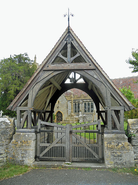
The heart of Middle Littleton is dominated by St. Nicholas Church, a beautiful Grade I listed building that dates back to the 12th century. This historic church serves as a focal point for the community, hosting regular services and various community events throughout the year.
The village itself is characterized by its traditional English cottages, many of which boast charming thatched roofs. These picturesque homes lend a timeless appeal to the area and add to its quaint atmosphere. The surrounding countryside offers a wealth of scenic walking and cycling routes, allowing residents and visitors to fully appreciate the natural beauty of the region.
Middle Littleton benefits from a close-knit community spirit, with several local clubs and societies catering to a range of interests. The village hall serves as a hub for these activities, hosting events such as art exhibitions, fitness classes, and social gatherings. Additionally, the village has a small primary school, providing education for local children.
The village is conveniently located near Evesham, which offers a wider range of amenities, including shops, supermarkets, and leisure facilities. With its peaceful ambiance, historical charm, and close proximity to both natural beauty and modern conveniences, Middle Littleton is an appealing place to live or visit for those seeking a quintessential English village experience.
If you have any feedback on the listing, please let us know in the comments section below.
Middle Littleton Images
Images are sourced within 2km of 52.122573/-1.887236 or Grid Reference SP0747. Thanks to Geograph Open Source API. All images are credited.


Middle Littleton is located at Grid Ref: SP0747 (Lat: 52.122573, Lng: -1.887236)
Administrative County: Worcestershire
District: Wychavon
Police Authority: West Mercia
What 3 Words
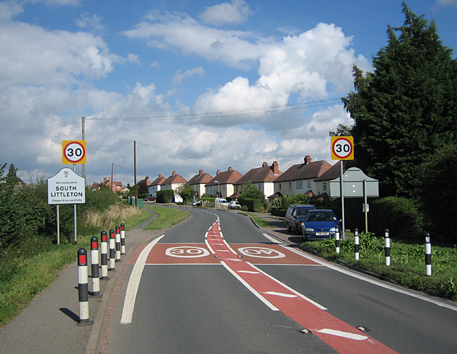
///spilling.hacksaw.miles. Near South Littleton, Worcestershire
Nearby Locations
Related Wikis
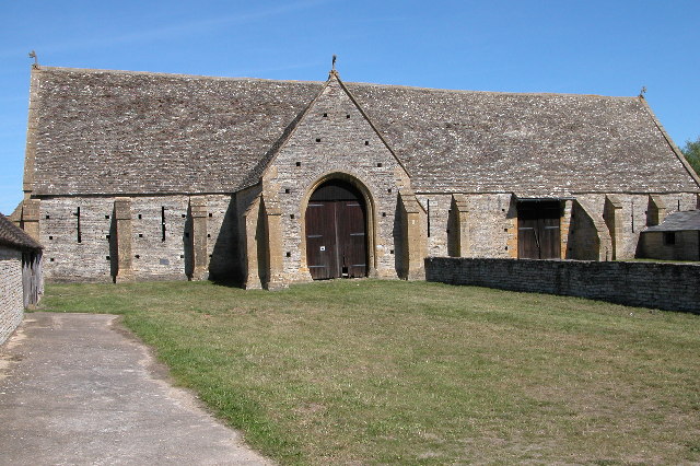
Middle Littleton Tythe Barn
Middle Littleton Tythe Barn, also known as Middle Littleton Tithe Barn, is a grade I listed 13th or 14th-century tithe barn in the village of Middle Littleton...
North and Middle Littleton
North and Middle Littleton is a civil parish located in the Wychavon district of Worcestershire, England. The parish comprises the villages of North Littleton...
South Littleton
South Littleton is a village and civil parish located in the Wychavon district of Worcestershire, England. South Littleton is located midway between Evesham...

Littleton F.C.
Littleton Football Club is a football club based in North and Middle Littleton, near Evesham, Worcestershire. They are members of the Midland League Division...
Nearby Amenities
Located within 500m of 52.122573,-1.887236Have you been to Middle Littleton?
Leave your review of Middle Littleton below (or comments, questions and feedback).