Cleeve Hill
Hill, Mountain in Worcestershire Wychavon
England
Cleeve Hill

Cleeve Hill is a prominent hill located in the county of Worcestershire, England. Standing at an impressive height of 330 meters (1,083 feet), it is the highest point in the Cotswolds range and offers breathtaking panoramic views of the surrounding countryside. The hill is situated just a few miles north of Cheltenham, a well-known spa town.
With its distinctive shape and vast open spaces, Cleeve Hill is a popular destination for walkers, hikers, and nature enthusiasts. It is designated as an Area of Outstanding Natural Beauty, showcasing the stunning landscapes and diverse wildlife of the region. The hill is also a part of the Cotswolds Way, a long-distance footpath that spans over 100 miles and attracts visitors from all over the world.
At the summit of Cleeve Hill, visitors can find an ancient burial mound known as Belas Knap, dating back to the Neolithic period. This historical site adds an extra layer of intrigue to the hill and provides a glimpse into the area's rich history.
Aside from its natural beauty and historical significance, Cleeve Hill is home to a golf course, attracting golf enthusiasts who can enjoy a round of golf while taking in the stunning scenery. The hill also features a cozy tearoom and a hotel, offering refreshments and accommodation for those looking to extend their visit.
Overall, Cleeve Hill is a captivating destination in Worcestershire that combines natural beauty, historical landmarks, and outdoor activities, making it a must-visit location for both locals and tourists alike.
If you have any feedback on the listing, please let us know in the comments section below.
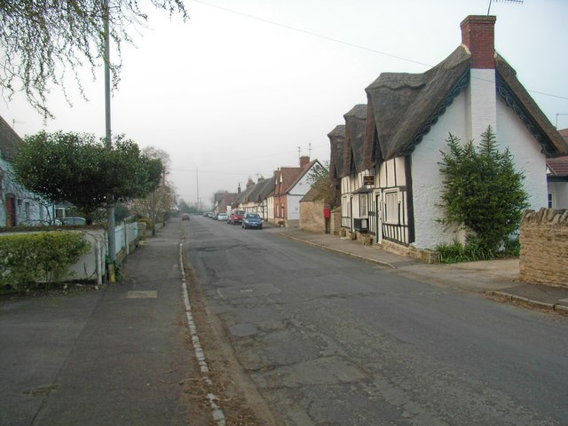
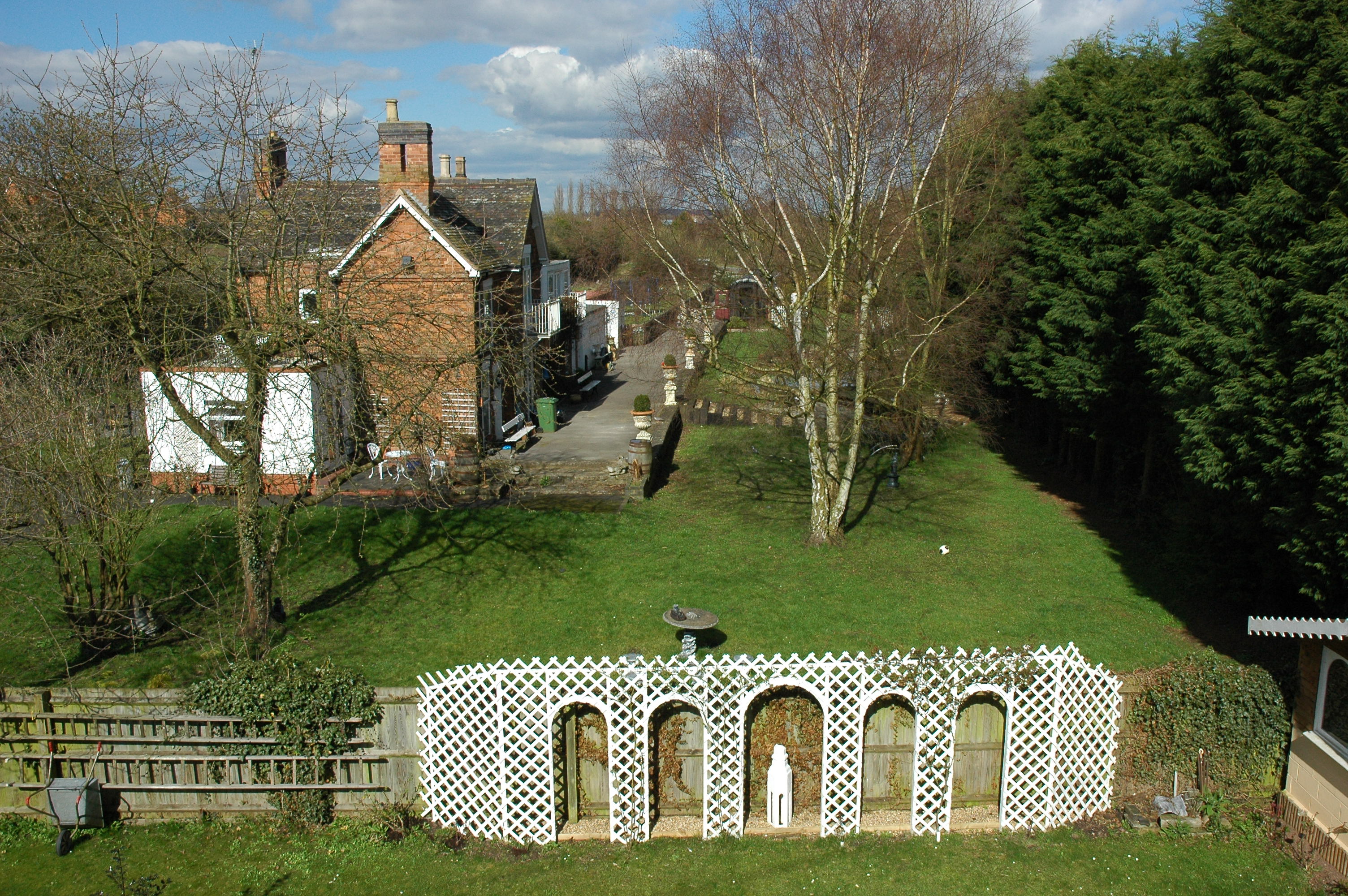
Cleeve Hill Images
Images are sourced within 2km of 52.12199/-1.8978597 or Grid Reference SP0747. Thanks to Geograph Open Source API. All images are credited.


Cleeve Hill is located at Grid Ref: SP0747 (Lat: 52.12199, Lng: -1.8978597)
Administrative County: Worcestershire
District: Wychavon
Police Authority: West Mercia
What 3 Words
///retrieves.styled.stud. Near South Littleton, Worcestershire
Nearby Locations
Related Wikis
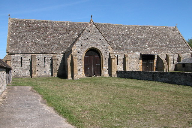
Middle Littleton Tythe Barn
Middle Littleton Tythe Barn, also known as Middle Littleton Tithe Barn, is a grade I listed 13th or 14th-century tithe barn in the village of Middle Littleton...
North and Middle Littleton
North and Middle Littleton is a civil parish located in the Wychavon district of Worcestershire, England. The parish comprises the villages of North Littleton...
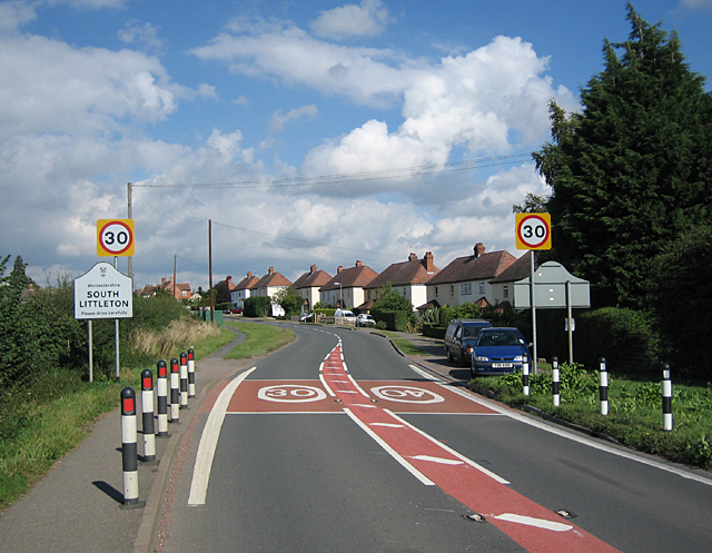
South Littleton
South Littleton is a village and civil parish located in the Wychavon district of Worcestershire, England. South Littleton is located midway between Evesham...
Offenham
Offenham is a large rural village and civil parish in the Wychavon district of Worcestershire, England, located about three miles east of Evesham, in the...
Harvington railway station
Harvington railway station was a station in Harvington, Worcestershire, England. The station was opened on 17 September 1866, train services were withdrawn...

Littleton and Badsey railway station
Littleton and Badsey railway station was a station on the Great Western Railway's Oxford, Worcester and Wolverhampton line, near the town of Evesham, Worcestershire...

Blackminster
Blackminster is a Hamlet in Worcestershire, England. Features include a large middle school, haulage and horticultural produce companies. Littleton and...

Littleton F.C.
Littleton Football Club is a football club based in North and Middle Littleton, near Evesham, Worcestershire. They are members of the Midland League Division...
Related Videos

Energy Stores and Energy Transfers
Energy stores and energy transfers? What's the difference? Who cares? Find out as we encounter wildfires, trees, flamenco ...

Background Radiation - Radioactivity all around us!
Learn all about the sources of background radiation! Cosmic Rays! Rocks! Cows? Plants? Nuclear weapons! It's all here ...

| Harvington Harriers v Alcester Town Sunday | If He Scores This Dave... I'm Walking Home! |
Thank you for visiting my channel. Please Share on your Social Media. Promote YOUR Football Club and help us Promote Non ...

Nearby Amenities
Located within 500m of 52.12199,-1.8978597Have you been to Cleeve Hill?
Leave your review of Cleeve Hill below (or comments, questions and feedback).