Lawford Hall
Heritage Site in Essex Tendring
England
Lawford Hall
Lawford Hall is a historic estate located in the scenic county of Essex, England. Situated in the village of Lawford, this magnificent heritage site is a testament to the rich history and architectural beauty of the region. The hall has been designated as a Grade II* listed building, signifying its immense historical and cultural significance.
Originally constructed in the 16th century, Lawford Hall is a stunning example of Tudor architecture. The building features a combination of red brick and timber framing, with a distinctive gabled roof and intricately carved wooden details. The hall has undergone several alterations and additions over the centuries, resulting in a unique blend of architectural styles that reflect its evolving history.
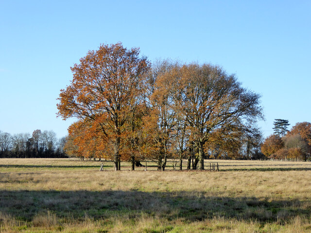
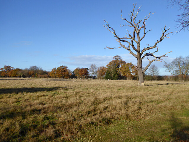
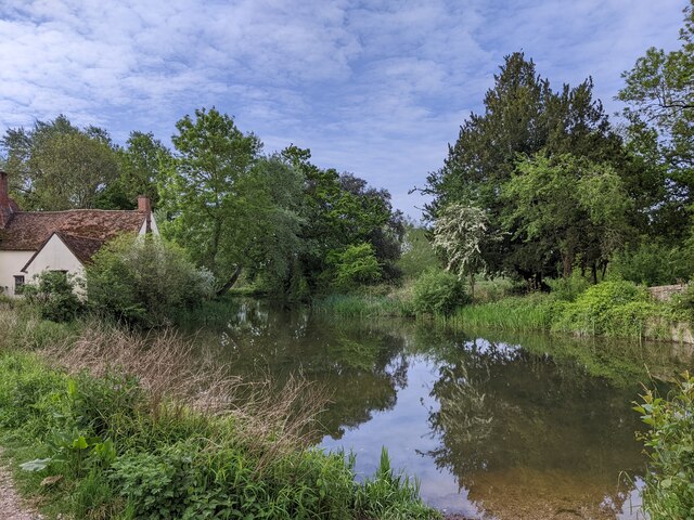
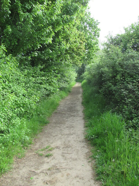
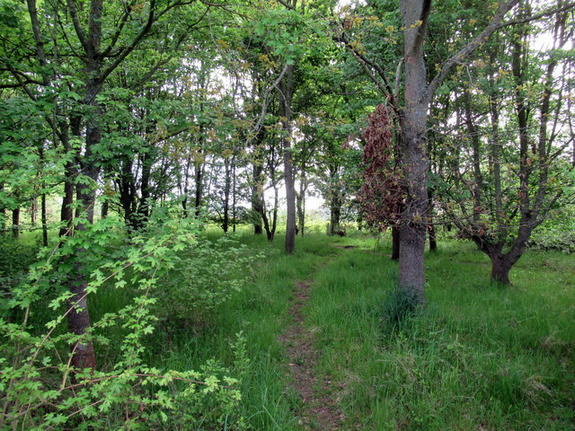
The estate surrounding Lawford Hall is equally impressive, boasting beautifully landscaped gardens and extensive parkland. The grounds feature ancient trees, picturesque ponds, and well-maintained lawns, creating a serene and idyllic setting. Visitors can explore the surrounding countryside through a network of walking paths and trails, offering breathtaking views of the hall and its surroundings.
Lawford Hall has served various purposes throughout its history, including being a private residence, a school, and a hospital during World War II. Today, the estate is privately owned and serves as a private residence, with limited public access. However, the hall occasionally hosts special events, such as weddings and cultural exhibitions, providing visitors with a rare opportunity to experience its grandeur and historical significance.
Lawford Hall is a cherished heritage site in Essex, showcasing the rich architectural heritage and natural beauty of the region. Its historical significance, stunning architecture, and picturesque surroundings make it a must-visit destination for history enthusiasts and nature lovers alike.
If you have any feedback on the listing, please let us know in the comments section below.
Lawford Hall Images
Images are sourced within 2km of 51.942/1.033 or Grid Reference TM0831. Thanks to Geograph Open Source API. All images are credited.


Lawford Hall is located at Grid Ref: TM0831 (Lat: 51.942, Lng: 1.033)
Administrative County: Essex
District: Tendring
Police Authority: Essex
What 3 Words
///afflicted.barrel.enjoys. Near Manningtree, Essex
Nearby Locations
Related Wikis

Veolia Water East
Veolia Water East, formerly known as Tendring Hundred Water Services, was a privately owned company supplying water to the Tendring peninsula in north...
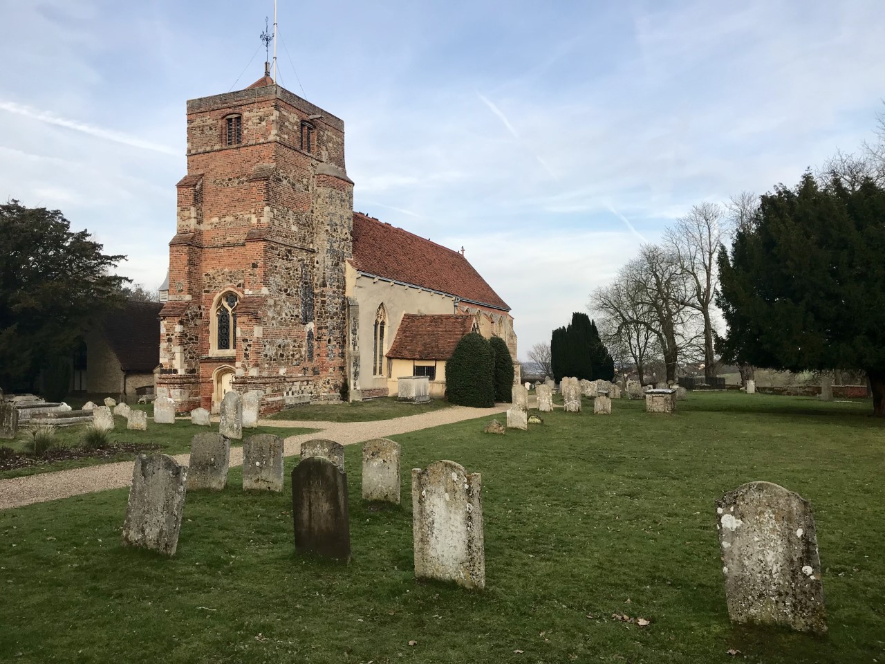
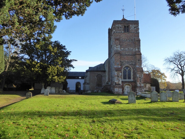
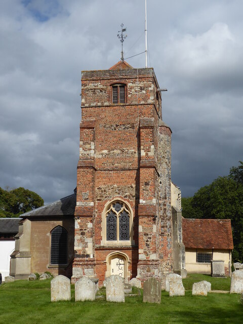
St Mary's Church, Lawford
St Mary's Church stands on Church Hill, Lawford, Essex, England. It is an active Anglican parish church in the deanery of Harwich, the archdeaconry of...
Lawford
Lawford is a large village and civil parish in the Tendring district of northeast Essex, England. It is approximately 6 miles (10 km) northeast from the...

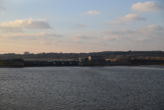
Manningtree railway station
Manningtree railway station is on the Great Eastern Main Line (GEML) in the East of England, serving the town of Manningtree, Essex. It is 59 miles 35...

Manningtree High School
Manningtree High School is a secondary school with academy status in Lawford, Manningtree, Essex, England. The school has specialist status in Science...

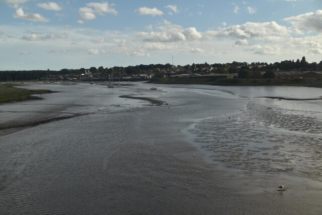
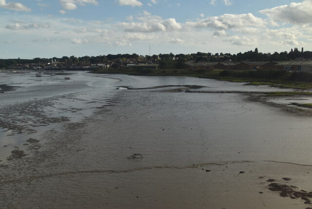
Cattawade Marshes
Cattawade Marshes is an 88.2-hectare (218-acre) biological Site of Special Scientific Interest between East Bergholt and Manningtree in Essex and Suffolk...

Manningtree
Manningtree is a town and civil parish in the Tendring district of Essex, England, which lies on the River Stour. It is part of the Suffolk Coast and Heaths...
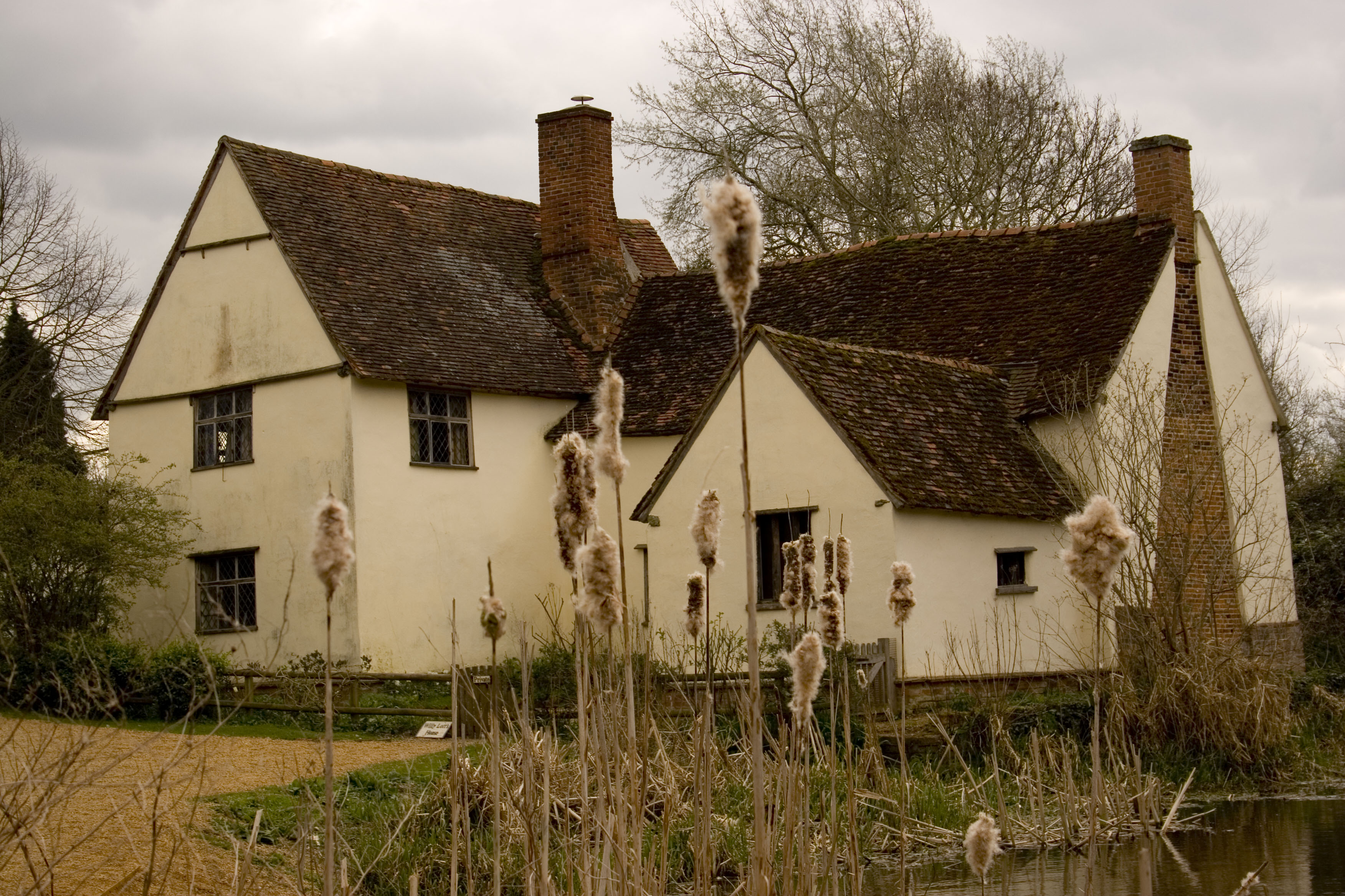
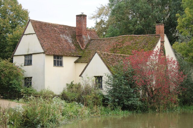
Willy Lott's Cottage
Willy Lott's Cottage is a house in Flatford, East Bergholt, Suffolk, England which appears in several paintings by John Constable, notably The Hay Wain...
Nearby Amenities
Located within 500m of 51.942,1.033Have you been to Lawford Hall?
Leave your review of Lawford Hall below (or comments, questions and feedback).