The Rookery
Wood, Forest in Essex Tendring
England
The Rookery

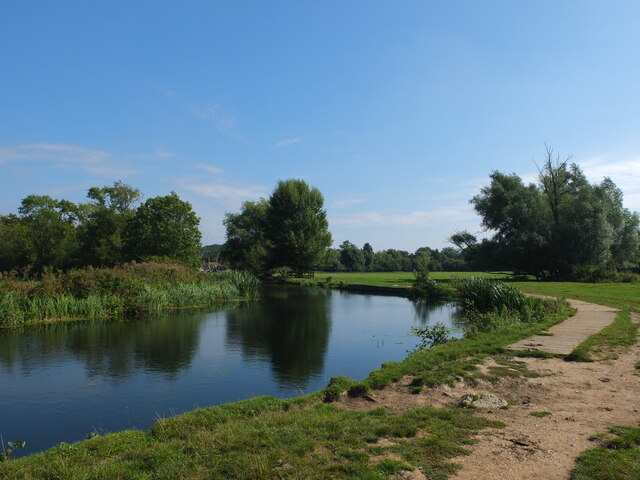
The Rookery, located in Essex, is a picturesque woodland area known for its enchanting beauty and diverse flora and fauna. Spread across a sprawling expanse of land, it offers a serene and tranquil escape from the bustling city life. The woodland is primarily composed of ancient oak trees, which lend a majestic charm to the surroundings.
The Rookery is home to a wide variety of wildlife, making it a popular spot for nature lovers and birdwatchers. The area is teeming with different species of birds, including woodpeckers, owls, and finches, creating a melodic symphony of chirping and tweeting. Squirrels can also be spotted, gracefully leaping from tree to tree, adding a touch of liveliness to the woodland.
The natural beauty of The Rookery is further enhanced by its diverse range of wildflowers, which carpet the forest floor in a vibrant array of colors during the spring and summer months. Bluebells, primroses, and foxgloves are just a few examples of the flora that adorn the forest, creating a stunning visual display.
Visitors to The Rookery can enjoy leisurely walks along the well-maintained trails, immersing themselves in the tranquility of the surroundings. The woodland also offers picnic areas, allowing visitors to relax and savor the beauty of nature while enjoying a meal.
Overall, The Rookery in Essex is a haven for nature enthusiasts, offering a serene and captivating woodland experience that is sure to leave a lasting impression.
If you have any feedback on the listing, please let us know in the comments section below.
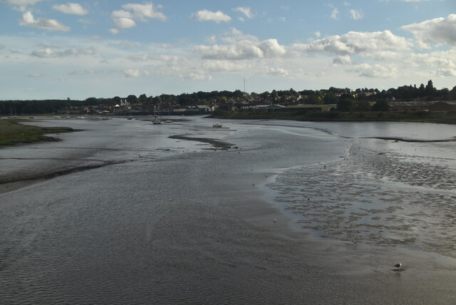
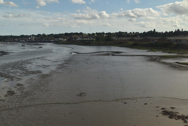
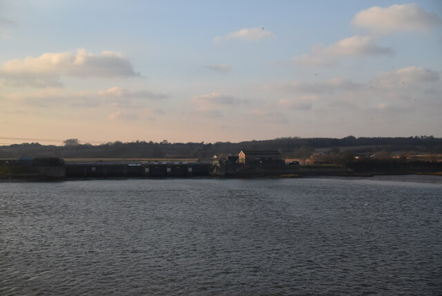
The Rookery Images
Images are sourced within 2km of 51.946666/1.0355165 or Grid Reference TM0831. Thanks to Geograph Open Source API. All images are credited.


The Rookery is located at Grid Ref: TM0831 (Lat: 51.946666, Lng: 1.0355165)
Administrative County: Essex
District: Tendring
Police Authority: Essex
What 3 Words
///redefined.boarded.curries. Near Manningtree, Essex
Nearby Locations
Related Wikis
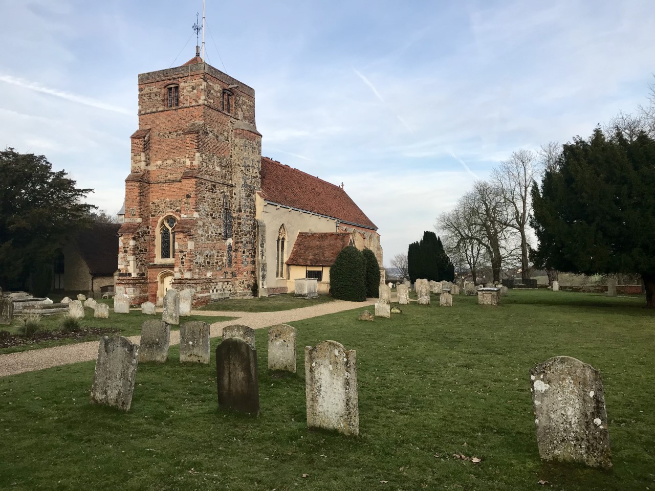
St Mary's Church, Lawford
St Mary's Church stands on Church Hill, Lawford, Essex, England. It is an active Anglican parish church in the deanery of Harwich, the archdeaconry of...

Veolia Water East
Veolia Water East, formerly known as Tendring Hundred Water Services, was a privately owned company supplying water to the Tendring peninsula in north...

Manningtree railway station
Manningtree railway station is on the Great Eastern Main Line (GEML) in the East of England, serving the town of Manningtree, Essex. It is 59 miles 35...
Lawford
Lawford is a large village and civil parish in the Tendring district of northeast Essex, England. It is approximately 6 miles (10 km) northeast from the...

Cattawade Marshes
Cattawade Marshes is an 88.2-hectare (218-acre) biological Site of Special Scientific Interest between East Bergholt and Manningtree in Essex and Suffolk...

Manningtree High School
Manningtree High School is a secondary school with academy status in Lawford, Manningtree, Essex, England. The school has specialist status in Science...
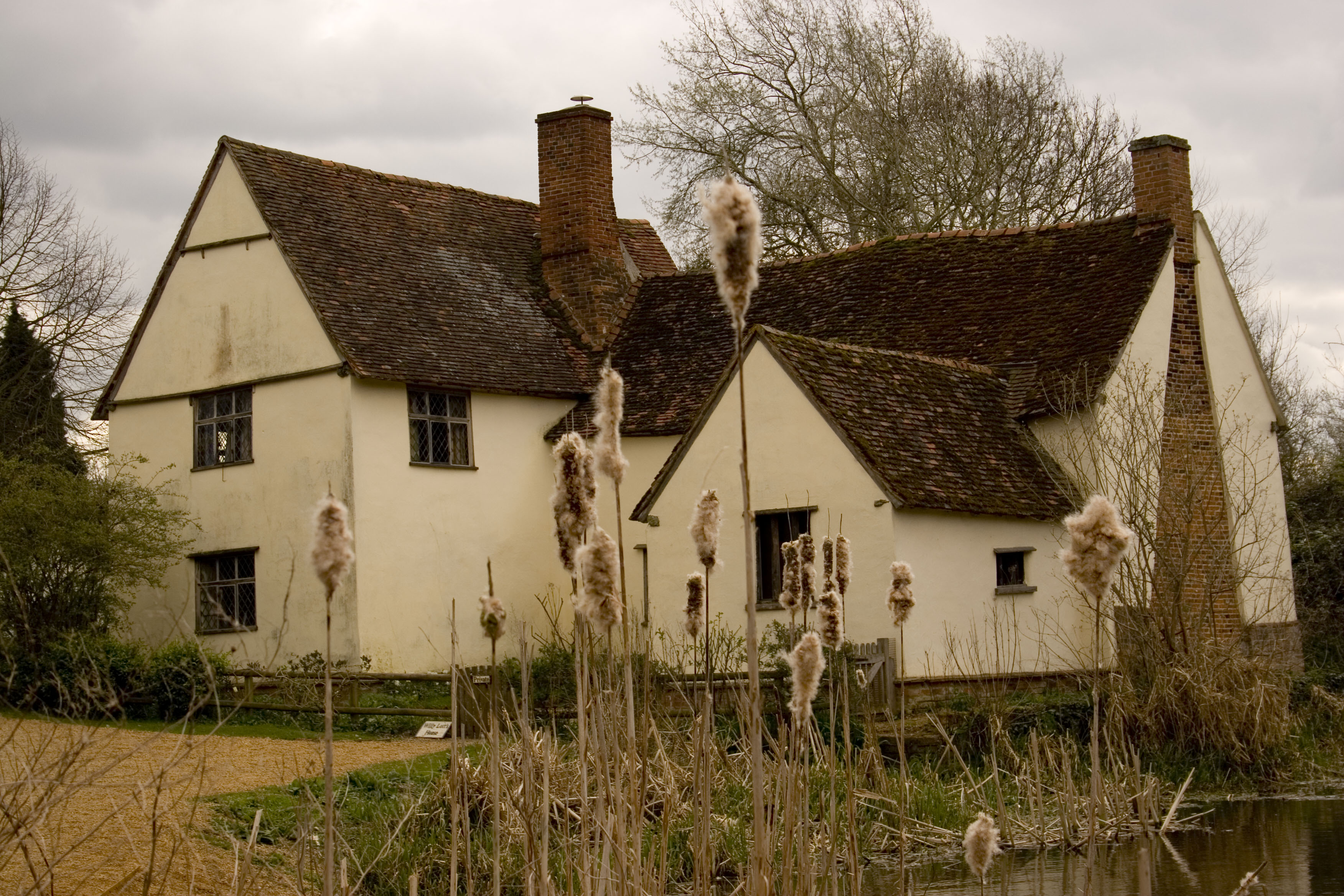
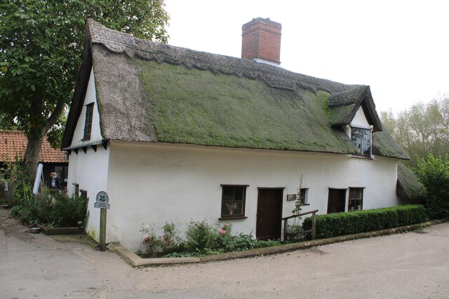
Willy Lott's Cottage
Willy Lott's Cottage is a house in Flatford, East Bergholt, Suffolk, England which appears in several paintings by John Constable, notably The Hay Wain...
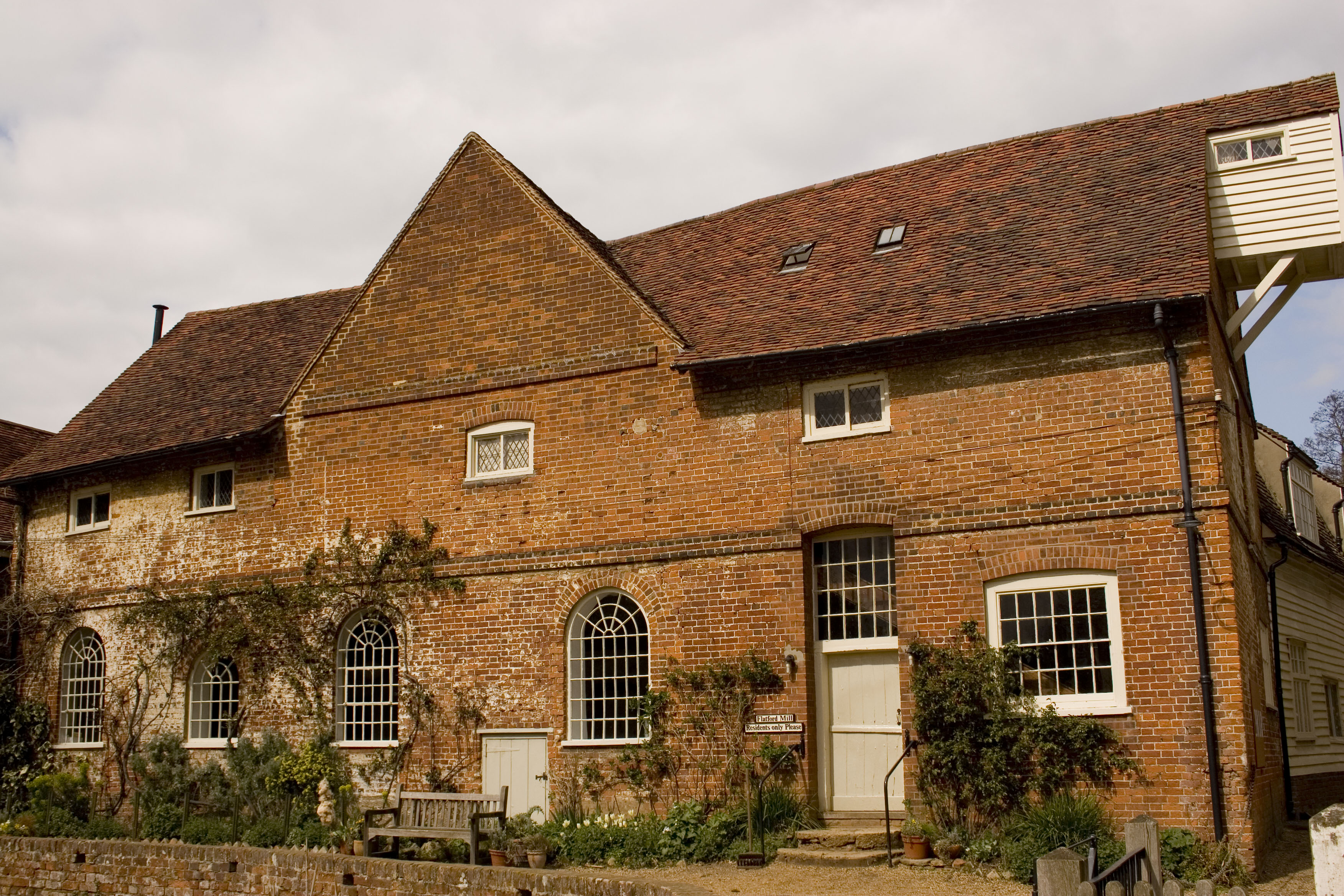
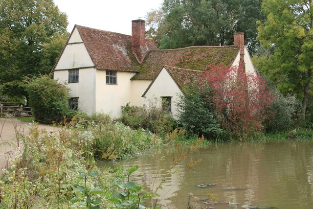
Flatford Mill
Flatford Mill is a Grade I listed watermill on the River Stour at Flatford in East Bergholt, Suffolk, England. According to the date-stone the mill was...
Nearby Amenities
Located within 500m of 51.946666,1.0355165Have you been to The Rookery?
Leave your review of The Rookery below (or comments, questions and feedback).