Lady Well

Heritage Site in Yorkshire Harrogate

England

Lady Well

North Oaks
North Oaks Credit: Malcolm Street

Lady Well is a notable heritage site located in Yorkshire, England. Situated near the village of Wensleydale, it holds significant historical and cultural importance. The well is believed to date back to the medieval period, with its origins rooted in pagan times.

The Lady Well is a natural spring that was once considered sacred by the local population. It was believed to possess healing properties and was dedicated to a medieval Christian saint, Our Lady of Walsingham. Pilgrims from far and wide would visit the well to seek its reputed healing powers, particularly for ailments related to eye problems.

The site features a small stone wellhouse, built in the 17th century, which encloses the well. The wellhouse is a simple structure with a gabled roof and a stone trough where the water flows. A plaque commemorating Our Lady of Walsingham can also be found near the well.

Surrounded by picturesque countryside, Lady Well attracts visitors not only for its historical significance but also for its tranquil and serene atmosphere. The well is often adorned with flowers and other offerings left by pilgrims and visitors, adding to its spiritual ambiance.

The Lady Well is now maintained by the local community and is open to the public throughout the year. It serves as a reminder of the region's rich cultural heritage and continues to be a place of pilgrimage and reflection for those seeking solace or a connection to Yorkshire's past.

If you have any feedback on the listing, please let us know in the comments section below.

Lady Well Images

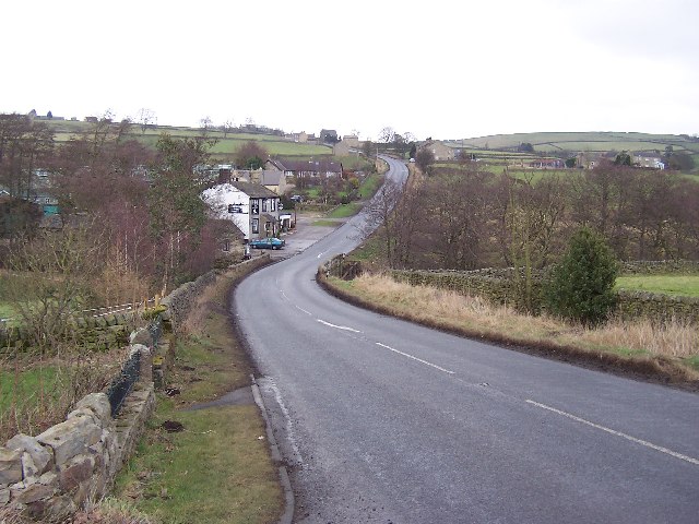
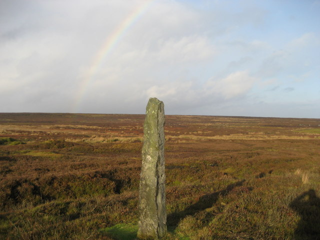
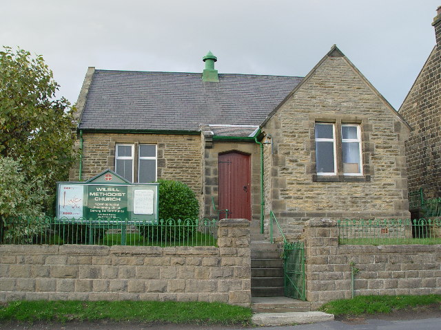
Images are sourced within 2km of 54.103/-1.717 or Grid Reference SE1867. Thanks to Geograph Open Source API. All images are credited.

North Oaks
North Oaks
The noisy cow Kingstone Farm in the background
The noisy cow
Kingstone Farm in the background
Moor Top Junction & Cattle Grid
Moorland and Fields in the distance is RAF Menwith Hill
Moorland and Fields
in the distance is RAF Menwith Hill
High Bishopside Moor Not much here besides sheep, wind, rough grass and tumbled down walls
High Bishopside Moor
Not much here besides sheep, wind, rough grass and tumbled down walls
Bishop's Moor An "entry point" as part of the new right to roam onto the moor on High Bishopside.
Bishop's Moor
An "entry point" as part of the new right to roam onto the moor on High Bishopside.
Skell Gill Bridge
Skell Gill Bridge
Road at Madge Hill Farm The road that leads from Blazefield on the B6265, crossing Dallowgill Moor to Kirkby Malzeard.
Road at Madge Hill Farm
The road that leads from Blazefield on the B6265, crossing Dallowgill Moor to Kirkby Malzeard.
The Blazefield Road from Above North Oaks On Pateley Moor, looking SSW along the minor road to Blazefield from just above North Oaks towards Combs Ridge. The crossroads is clearly visible ahead.
The Blazefield Road from Above North Oaks
On Pateley Moor, looking SSW along the minor road to Blazefield from just above North Oaks towards Combs Ridge. The crossroads is clearly visible ahead.
Skell Gill Looking south-east along Skell Gill from Skell Gill Bridge. Just beyond the tree square SE1968 begins.
Skell Gill
Looking south-east along Skell Gill from Skell Gill Bridge. Just beyond the tree square SE1968 begins.
Skell Gill Bridge Looking west to Skell Gill Bridge and Bishop's Moor <a href="https://www.geograph.org.uk/gridref/SE1768">SE1768</a> beyond.
Skell Gill Bridge
Looking west to Skell Gill Bridge and Bishop's Moor SE1768 beyond.
Most of North Yorkshire Looking slightly east of south, this photograph covers many squares, from <a href="https://www.geograph.org.uk/gridref/SE1867">SE1867</a> (where I'm standing) to RAF Menwith Hill at <a href="https://www.geograph.org.uk/gridref/SE2057">SE2057</a> and the radio mast on the hill at <a href="https://www.geograph.org.uk/gridref/SE2151">SE2151</a>.
Most of North Yorkshire
Looking slightly east of south, this photograph covers many squares, from SE1867 (where I'm standing) to RAF Menwith Hill at SE2057 and the radio mast on the hill at SE2151.
B6265 near Braithwaite Syke This looks north east along the B6265 between Glasshouses and Fellbeck
B6265 near Braithwaite Syke
This looks north east along the B6265 between Glasshouses and Fellbeck
Fellbeck Looking north east along the B6265 as it descends to cross Fell Beck by the Half Moon Inn, centre of the scattered community bearing the same name as the watercourse
Fellbeck
Looking north east along the B6265 as it descends to cross Fell Beck by the Half Moon Inn, centre of the scattered community bearing the same name as the watercourse
Road at Skell Gill Bank This road connects Pateley Bridge to Kirkby Malzeard and Masham - at this point it crosses Dallow Moor, very near to its crossing of Skell Gill
Road at Skell Gill Bank
This road connects Pateley Bridge to Kirkby Malzeard and Masham - at this point it crosses Dallow Moor, very near to its crossing of Skell Gill
Lane over Round Hills I cannot find a name for this green lane.  It is about 2 miles long, arrow straight and runs over part of Pateley Moor from the road above Skell Gill to the B6265 near Fellbeck
Lane over Round Hills
I cannot find a name for this green lane. It is about 2 miles long, arrow straight and runs over part of Pateley Moor from the road above Skell Gill to the B6265 near Fellbeck
Stone on Thistle Hill I would love to describe this as a standing stone on a lonely moor, with rainbow conjured up by resident Druids.  It is actually a boundary stone, near a cattle grid by the moor road from Pateley Bridge to Masham - the rainbow was there by chance
Stone on Thistle Hill
I would love to describe this as a standing stone on a lonely moor, with rainbow conjured up by resident Druids. It is actually a boundary stone, near a cattle grid by the moor road from Pateley Bridge to Masham - the rainbow was there by chance
Arrow straight road to Fellbeck This unclassified road is about 2 miles long - there is not the slightest kink in it. It runs off Pateley Moor south east to Fellbeck.  There is no evidence I can find to suggest Roman origin.
Arrow straight road to Fellbeck
This unclassified road is about 2 miles long - there is not the slightest kink in it. It runs off Pateley Moor south east to Fellbeck. There is no evidence I can find to suggest Roman origin.
Show me another place!

Lady Well is located at Grid Ref: SE1867 (Lat: 54.103, Lng: -1.717)

Division: West Riding

Administrative County: North Yorkshire

District: Harrogate

Police Authority: North Yorkshire

What 3 Words

///awesome.timed.moving. Near Pateley Bridge, North Yorkshire

Nearby Locations

Lady Well Pateley Moor

Related Wikis

High and Low Bishopside

High and Low Bishopside is a civil parish in Nidderdale in the Harrogate district, in the county of North Yorkshire, England. It includes the town of Pateley...

Wilsill

Wilsill is a village in Nidderdale in the Harrogate district of North Yorkshire, England. It is about 2 miles (3 km) east of Pateley Bridge on the B6165...

Glasshouses, North Yorkshire

Glasshouses is a small village in Nidderdale, North Yorkshire, England. It lies 1 mile (1.6 km) south-east of Pateley Bridge on the east side of Nidderdale...

Brimham Rocks

Brimham Rocks, once known as Brimham Crags, is a 183.9-hectare (454-acre) biological Site of Special Scientific Interest (SSSI) and Geological Conservation...

Nearby Amenities

Located within 500m of 54.103,-1.717
Place: farm
Lat/Long: 54.1029545/-1.7169074
Ford: yes
Lat/Long: 54.1042553/-1.7196073
The data included in this document is from www.openstreetmap.org. The data is made available under ODbL.

Have you been to Lady Well?

Leave your review of Lady Well below (or comments, questions and feedback).