Lady's Cross

Heritage Site in Derbyshire North East Derbyshire

England

Lady's Cross

Path on Totley Moor
Path on Totley Moor Credit: David Lally

Lady's Cross is a historic monument located in Derbyshire, England. Situated near the village of Monyash, it is recognized as a significant heritage site due to its historical and cultural importance. The cross stands at the junction of two ancient routes, the North-South Roman road and the East-West Saltway.

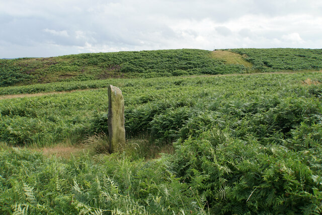
Dating back to the medieval period, Lady's Cross is believed to have been erected as a wayside cross in the 14th century. The cross itself is made of limestone and stands around 6 feet tall. It features a simple design, with a square base and a tapering shaft topped by a small cross-head. Over the centuries, the cross has undergone some restoration work to preserve its structure and ensure its longevity.

The significance of Lady's Cross lies not only in its architectural value but also in its historical context. It served as an important landmark for travelers, acting as a meeting point and providing a sense of direction. Additionally, the cross held religious significance, with many pilgrims stopping to pray or leave offerings at the site.

Today, Lady's Cross continues to attract visitors who are intrigued by its historical and cultural significance. It offers a glimpse into the past, providing a tangible connection to the medieval period and the lives of those who once traveled along these ancient routes. The site is easily accessible, with nearby parking facilities and footpaths for visitors to explore the surrounding picturesque countryside.

If you have any feedback on the listing, please let us know in the comments section below.
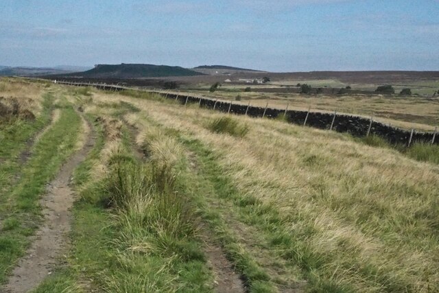
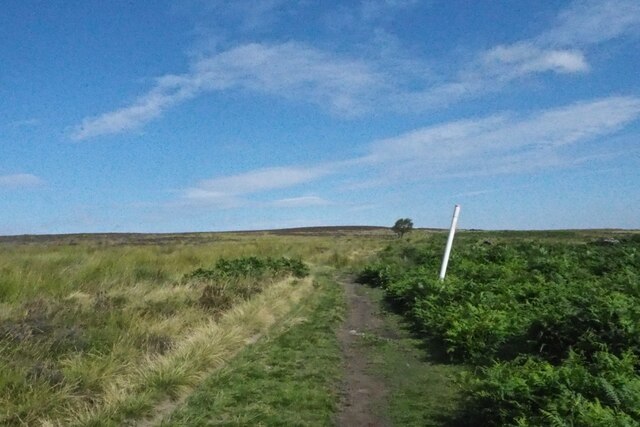
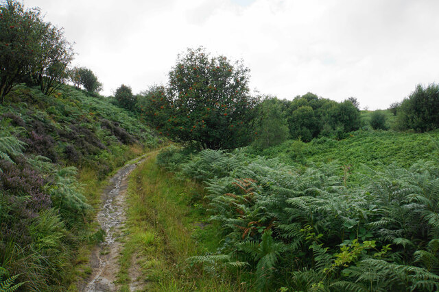
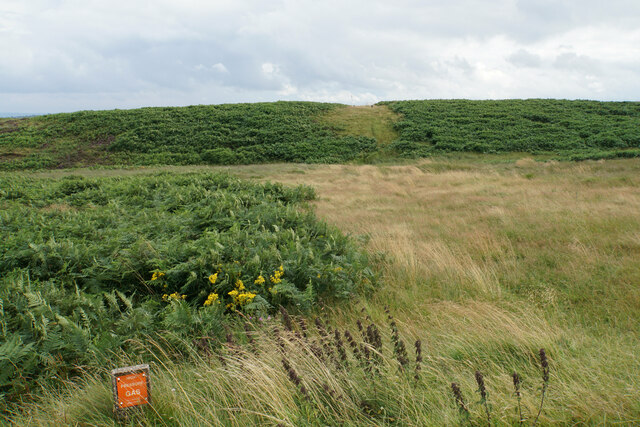
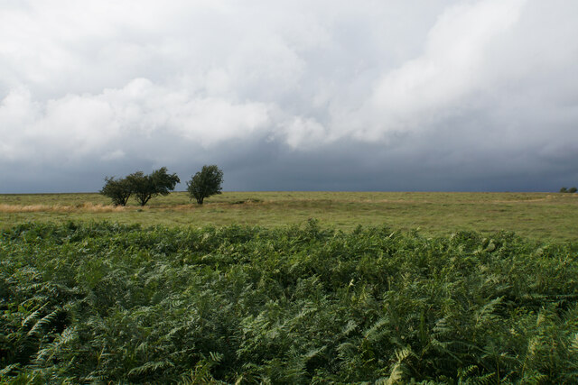
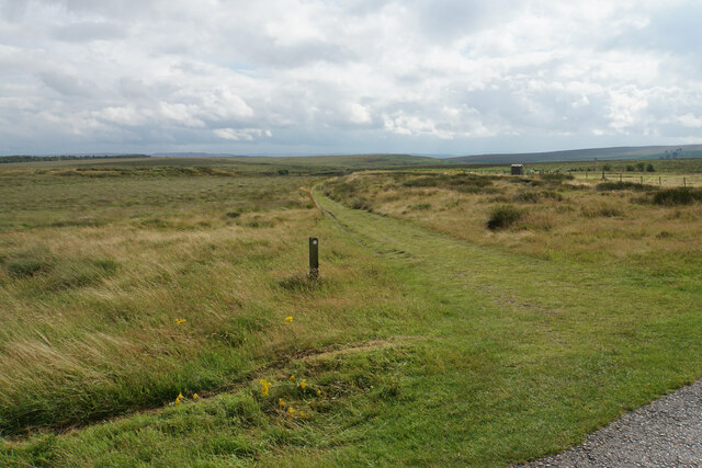
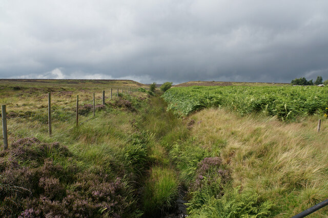
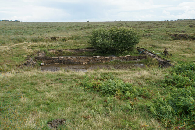
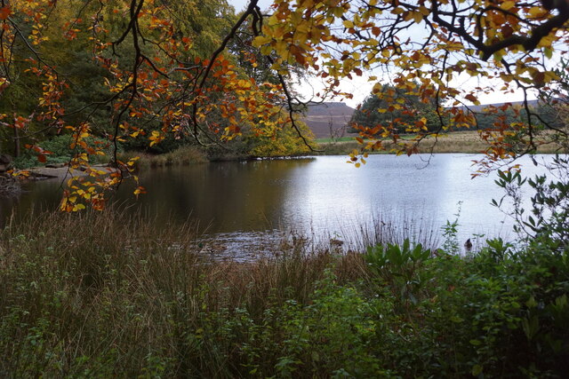
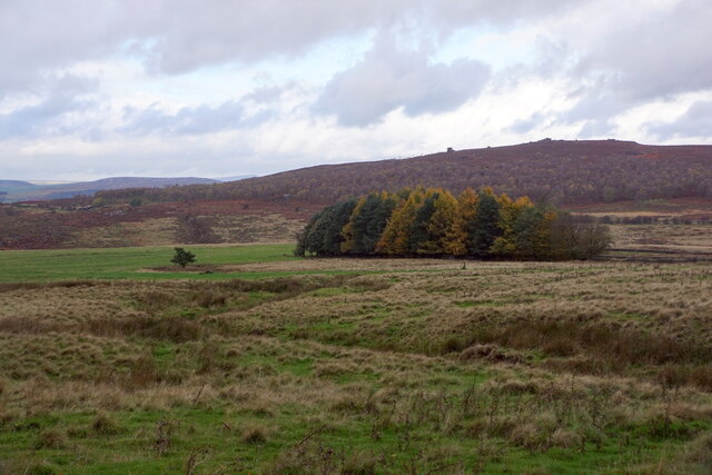
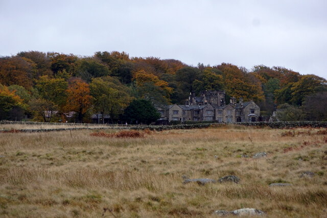
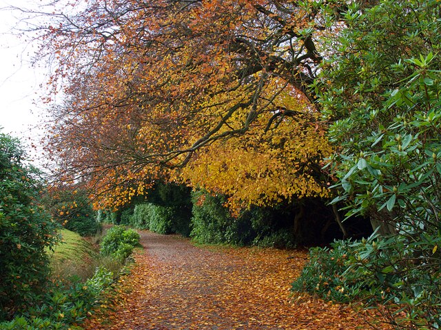
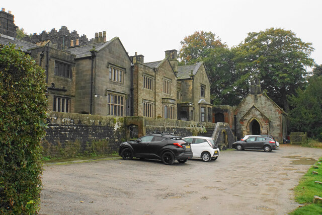
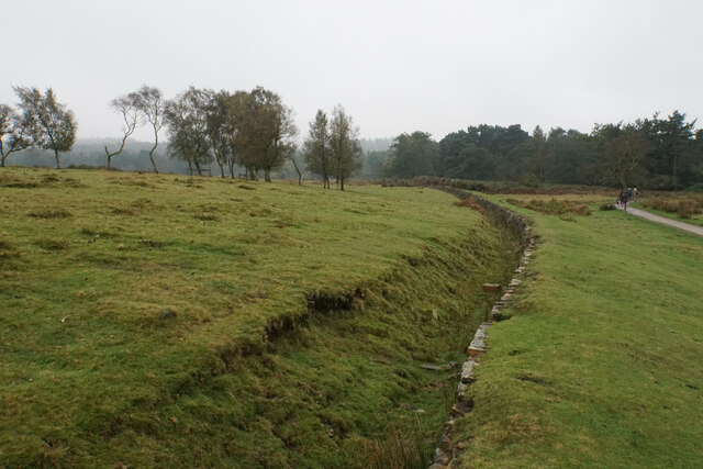
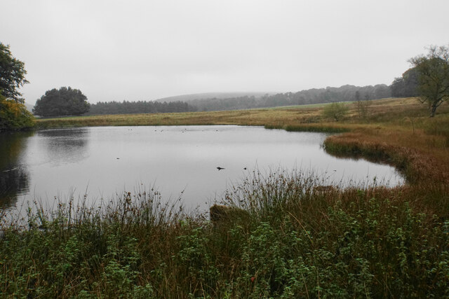
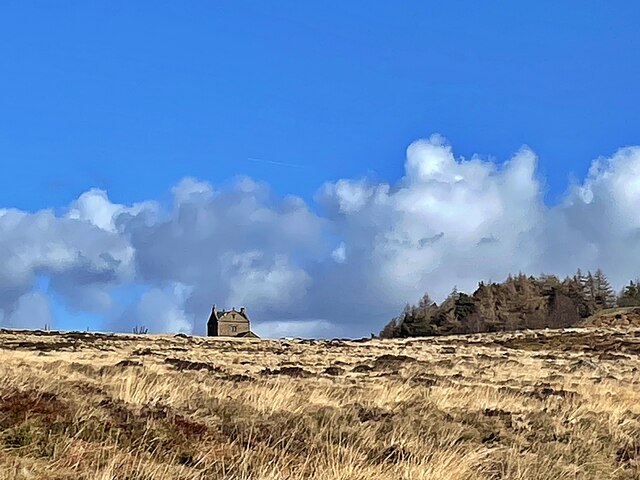
Lady's Cross Images

Images are sourced within 2km of 53.302/-1.587 or Grid Reference SK2778. Thanks to Geograph Open Source API. All images are credited.

Path on Totley Moor
Path on Totley Moor
Gas main marker on Totley Moor
Path on Greaves's Piece Approaching the top of the moor.
Path on Greaves's Piece
Approaching the top of the moor.
Guide stoop on Big Moor On this face is a pointer to the right but the words are not possible to read. It refers to something Way.
Guide stoop on Big Moor
On this face is a pointer to the right but the words are not possible to read. It refers to something Way.
Route of a gas pipeline This one has made a noticeable mark across the moor.
Route of a gas pipeline
This one has made a noticeable mark across the moor.
Moorland on Big Moor Passing rain showers to the north make this view more stark.
Moorland on Big Moor
Passing rain showers to the north make this view more stark.
Track to the Barbrook valley Here it leaves the former waterworks service road for Barbrook Reservoir which is now decommissioned.
Track to the Barbrook valley
Here it leaves the former waterworks service road for Barbrook Reservoir which is now decommissioned.
Bar Brook The channel leaving the former Barbrook Reservoir. You can see the dam wall ahead with the v-shaped cut in it when it was decommissioned.
Bar Brook
The channel leaving the former Barbrook Reservoir. You can see the dam wall ahead with the v-shaped cut in it when it was decommissioned.
Tanks by Bar Brook These may have been silt traps below the former Barbrook Reservoir.
Tanks by Bar Brook
These may have been silt traps below the former Barbrook Reservoir.
Pond on the Longshaw Estate
Autumn leaves  On National Trust's Longshaw Estate, beside the alternative path between the car park and the visitor centre.
Autumn leaves
On National Trust's Longshaw Estate, beside the alternative path between the car park and the visitor centre.
View from Longshaw Lodge
Longshaw Lodge
Longshaw Lodge
Autumn colour on the Longshaw Estate The path runs from the visitor centre to the lake and has a ha-ha to the left.
Autumn colour on the Longshaw Estate
The path runs from the visitor centre to the lake and has a ha-ha to the left.
Longshaw Lodge A former shooting lodge, the building is privately owned as apartments and is not part of the National Trust's interest in the Longshaw Estate.
Longshaw Lodge
A former shooting lodge, the building is privately owned as apartments and is not part of the National Trust's interest in the Longshaw Estate.
Catchment channel in the Longshaw Estate This looks a bit like a ha-ha though it isn't fulfilling the visual function of a ha-ha.
Catchment channel in the Longshaw Estate
This looks a bit like a ha-ha though it isn't fulfilling the visual function of a ha-ha.
Pond in the Longshaw Estate A landscaping feature created from drainage of the adjoining moorland. Viewed on a misty autumn day.
Pond in the Longshaw Estate
A landscaping feature created from drainage of the adjoining moorland. Viewed on a misty autumn day.
White Edge Lodge This isolated former gamekeeper's cottage is now a National Trust holiday let.
White Edge Lodge
This isolated former gamekeeper's cottage is now a National Trust holiday let.
Show me another place!

Lady's Cross is located at Grid Ref: SK2778 (Lat: 53.302, Lng: -1.587)

Administrative County: Derbyshire

District: North East Derbyshire

Police Authority: Derbyshire

What 3 Words

///dairy.goats.rewarding. Near Hathersage, Derbyshire

Nearby Locations

Lady's Cross Totley Moss

Related Wikis

Totley Tunnel

Totley Tunnel is a 6,230-yard (3.5 mi; 5.7 km) tunnel under Totley Moor, on the Hope Valley line between Totley on the outskirts of Sheffield and Grindleford...

Totley Moor

Totley Moor is an open moorland hill to the west of the Sheffield suburb of Totley, in the Derbyshire Peak District. The summit is 395 metres (1,296 ft...

Owler Bar

Owler Bar is a small area of settlement and locally important road junction in the parish of Holmesfield, Derbyshire, England. It lies at an altitude of...

Longshaw Estate

Longshaw Estate is an area of moorland, woodland and farmland within the Peak District National Park in Derbyshire, England. The name of Longshaw is thought...

Hathersage Road (Sheffield)

Hathersage Road is a road in Sheffield South Yorkshire, England and Derbyshire. It leads south-west from the suburb of Whirlow over the border between...

Fox House, South Yorkshire

Fox House is a 17th-century Grade-II listed Inn, located near the Longshaw Estate in the Peak District, near the border between South Yorkshire and Derbyshire...

Blacka Moor Nature Reserve

Blacka Moor Nature Reserve is a nature reserve located on Hathersage Road between Sheffield and Hathersage in the Peak District National Park in the United...

Padley Gorge

Padley Gorge is a deep but narrow valley in the Peak District, Derbyshire between the village of Grindleford and the A6187 road. The gorge is wooded with...

Nearby Amenities

Located within 500m of 53.302,-1.587
Bridge Type: Over Stream
Lat/Long: 53.2989515/-1.5874791
Parking
Ele: 340.4300537
Parking: street_side
Lat/Long: 53.3009597/-1.5879882
Ele: 335.3831787
Lat/Long: 53.3006571/-1.5876331
Ele: 335.8637695
Lat/Long: 53.3006446/-1.5875962
Barrier: stile
Foot: yes
Lat/Long: 53.2996473/-1.5853951
The data included in this document is from www.openstreetmap.org. The data is made available under ODbL.

Have you been to Lady's Cross?

Leave your review of Lady's Cross below (or comments, questions and feedback).