King Henry's Hunting Lodge

Heritage Site in Hampshire Hart

England

King Henry's Hunting Lodge

Ordnance Survey Flush Bracket S0771 This can be found on the wall of The Vine Church in Odiham.
For more detail see : <span class="nowrap"><a title="http://www.bench-marks.org.uk/bm12956" rel="nofollow ugc noopener" href="http://www.bench-marks.org.uk/bm12956">Link</a><img style="margin-left:2px;" alt="External link" title="External link - shift click to open in new window" src="https://s1.geograph.org.uk/img/external.png" width="10" height="10"/></span>
Ordnance Survey Flush Bracket S0771 Credit: Peter Wood

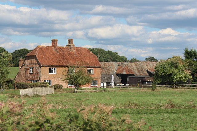
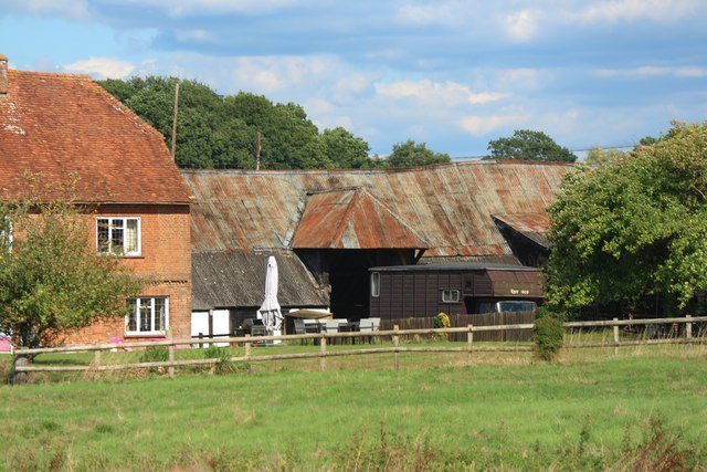
King Henry's Hunting Lodge, located in Hampshire, is a historic heritage site that dates back to the 12th century. It is situated within the picturesque New Forest National Park, renowned for its natural beauty and rich history. This timber-framed building was originally constructed as a hunting lodge during the reign of King Henry II, thereby deriving its name.

The lodge is a fine example of medieval architecture, showcasing the typical features of the era. It is a two-storey structure with a thatched roof and a charming timber frame that has been well-preserved over the centuries. The interior of the lodge offers a glimpse into medieval life, with rooms displaying period furniture, tapestries, and artifacts.

Originally used as a hunting base by the royal family, the lodge later served as a private residence and a courthouse. It has witnessed significant historical events, including the signing of the Treaty of Winchester in 1217, which marked the end of the First Barons' War. The lodge's historical significance and architectural value have earned it a Grade I listed status, ensuring its preservation for future generations.

Visitors to King Henry's Hunting Lodge can explore its various rooms and exhibitions, which provide an engaging and educational experience. The knowledgeable staff offers guided tours, sharing fascinating stories and insights into the lodge's past. The surrounding grounds offer picturesque views and provide opportunities for leisurely walks or picnics in a serene natural setting.

Overall, King Henry's Hunting Lodge stands as a testament to the history and cultural heritage of Hampshire, offering visitors a unique glimpse into medieval life and the royal hunting traditions of the past.

If you have any feedback on the listing, please let us know in the comments section below.

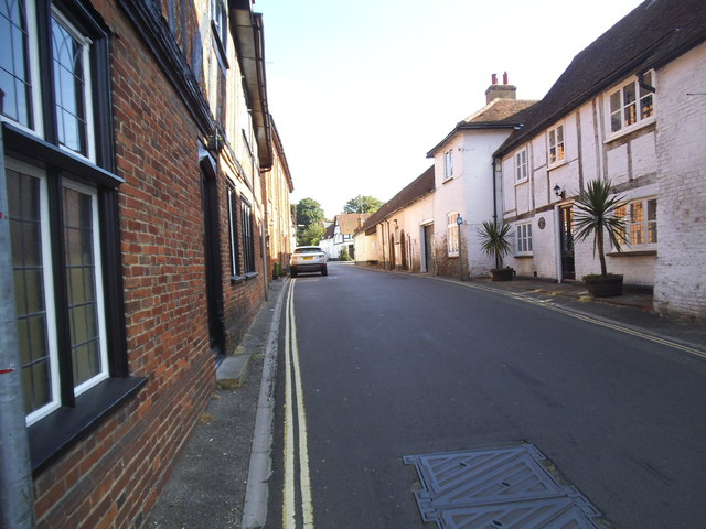
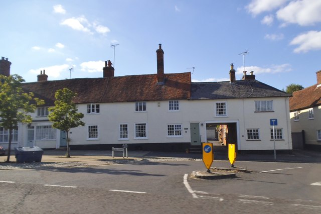
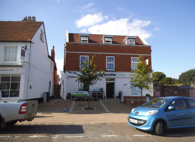
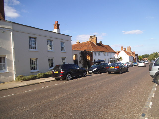
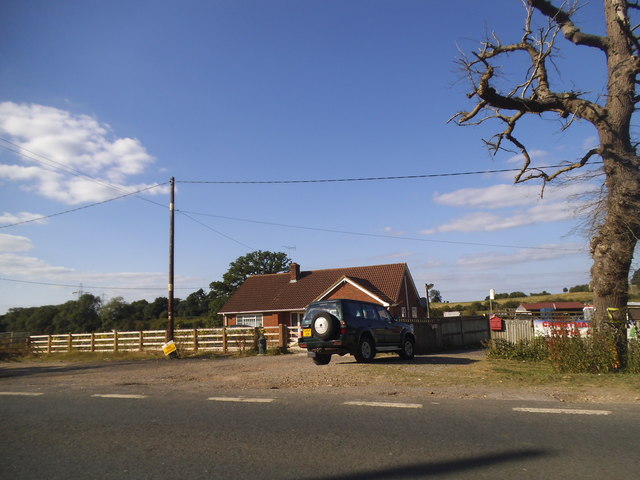
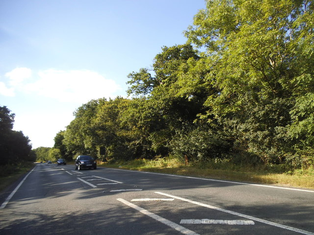
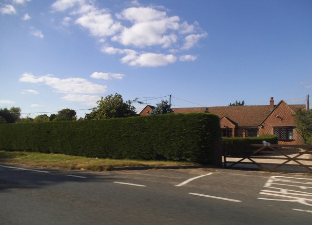
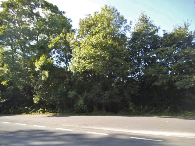
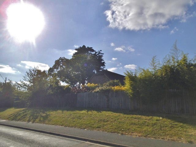
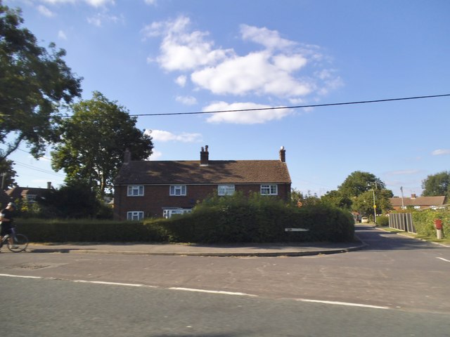
King Henry's Hunting Lodge Images

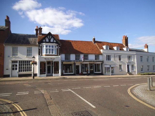
Images are sourced within 2km of 51.263/-0.917 or Grid Reference SU7552. Thanks to Geograph Open Source API. All images are credited.

Ordnance Survey Flush Bracket S0771 This can be found on the wall of The Vine Church in Odiham.
For more detail see : <span class="nowrap"><a title="http://www.bench-marks.org.uk/bm12956" rel="nofollow ugc noopener" href="http://www.bench-marks.org.uk/bm12956">Link</a><img style="margin-left:2px;" alt="External link" title="External link - shift click to open in new window" src="https://s1.geograph.org.uk/img/external.png" width="10" height="10"/></span>
Ordnance Survey Flush Bracket S0771
This can be found on the wall of The Vine Church in Odiham. For more detail see : LinkExternal link
Ordnance Survey Flush Bracket S0732 This can be found on the wall of Odiham School.
For more detail see : <span class="nowrap"><a title="http://www.bench-marks.org.uk/bm12955" rel="nofollow ugc noopener" href="http://www.bench-marks.org.uk/bm12955">Link</a><img style="margin-left:2px;" alt="External link" title="External link - shift click to open in new window" src="https://s1.geograph.org.uk/img/external.png" width="10" height="10"/></span>
Ordnance Survey Flush Bracket S0732
This can be found on the wall of Odiham School. For more detail see : LinkExternal link
Ordnance Survey Cut Mark This can be found on the wall of All Saints Church in Odiham.
For more detail see : <span class="nowrap"><a title="http://www.bench-marks.org.uk/bm71131" rel="nofollow ugc noopener" href="http://www.bench-marks.org.uk/bm71131">Link</a><img style="margin-left:2px;" alt="External link" title="External link - shift click to open in new window" src="https://s1.geograph.org.uk/img/external.png" width="10" height="10"/></span>
Ordnance Survey Cut Mark
This can be found on the wall of All Saints Church in Odiham. For more detail see : LinkExternal link
High Street Odiham at the junction of King Street
King Street, Odiham
King Street, Odiham
Terrace of houses on High Street Odiham
The Co-op on High Street Odiham
High Street Odiham
High Street Odiham
Little house on the prairie Farnham Road east of Odiham
Little house on the prairie
Farnham Road east of Odiham
House on Farnham Road, Odiham
Woodland by Farnham Road, Odiham At the entrance to the parking area
Woodland by Farnham Road, Odiham
At the entrance to the parking area
Farnham Road, Odiham
Farnham Road at the junction of Coronation Close
Looking across the M3 The M3 motorway runs for 59 miles from Sunbury-on-Thames to Southampton. Construction started 1968 and was finally completed in 1995. The Winchester bypass through Twyford Downs was the most controversial section to be built.
Wikipedia: <span class="nowrap"><a title="http://en.wikipedia.org/wiki/M3_motorway_(Great_Britain)" rel="nofollow ugc noopener" href="http://en.wikipedia.org/wiki/M3_motorway_(Great_Britain)">Link</a><img style="margin-left:2px;" alt="External link" title="External link - shift click to open in new window" src="https://s1.geograph.org.uk/img/external.png" width="10" height="10"/></span>
Looking across the M3
The M3 motorway runs for 59 miles from Sunbury-on-Thames to Southampton. Construction started 1968 and was finally completed in 1995. The Winchester bypass through Twyford Downs was the most controversial section to be built. Wikipedia: LinkExternal link
M3 westbound
M3 westbound
Bullocks Farm, Hillside Road
View to barn at Bullocks Farm -
View to barn at Bullocks Farm
-
Show me another place!

King Henry's Hunting Lodge is located at Grid Ref: SU7552 (Lat: 51.263, Lng: -0.917)

Administrative County: Hampshire

District: Hart

Police Authority: Hampshire

What 3 Words

///obstruction.handover.accompany. Near Odiham, Hampshire

Related Wikis

Whitehall, Hampshire

Whitehall is a hamlet in the civil parish of Odiham in Hampshire, England. Its nearest town is Hook, approximately 3.5 miles (4.75 km) away.

Winchfield

Winchfield is a small village in the Hart District of Hampshire in the South-East of England. It is situated 1 mile (1.6 km) south-west of Hartley Wintney...
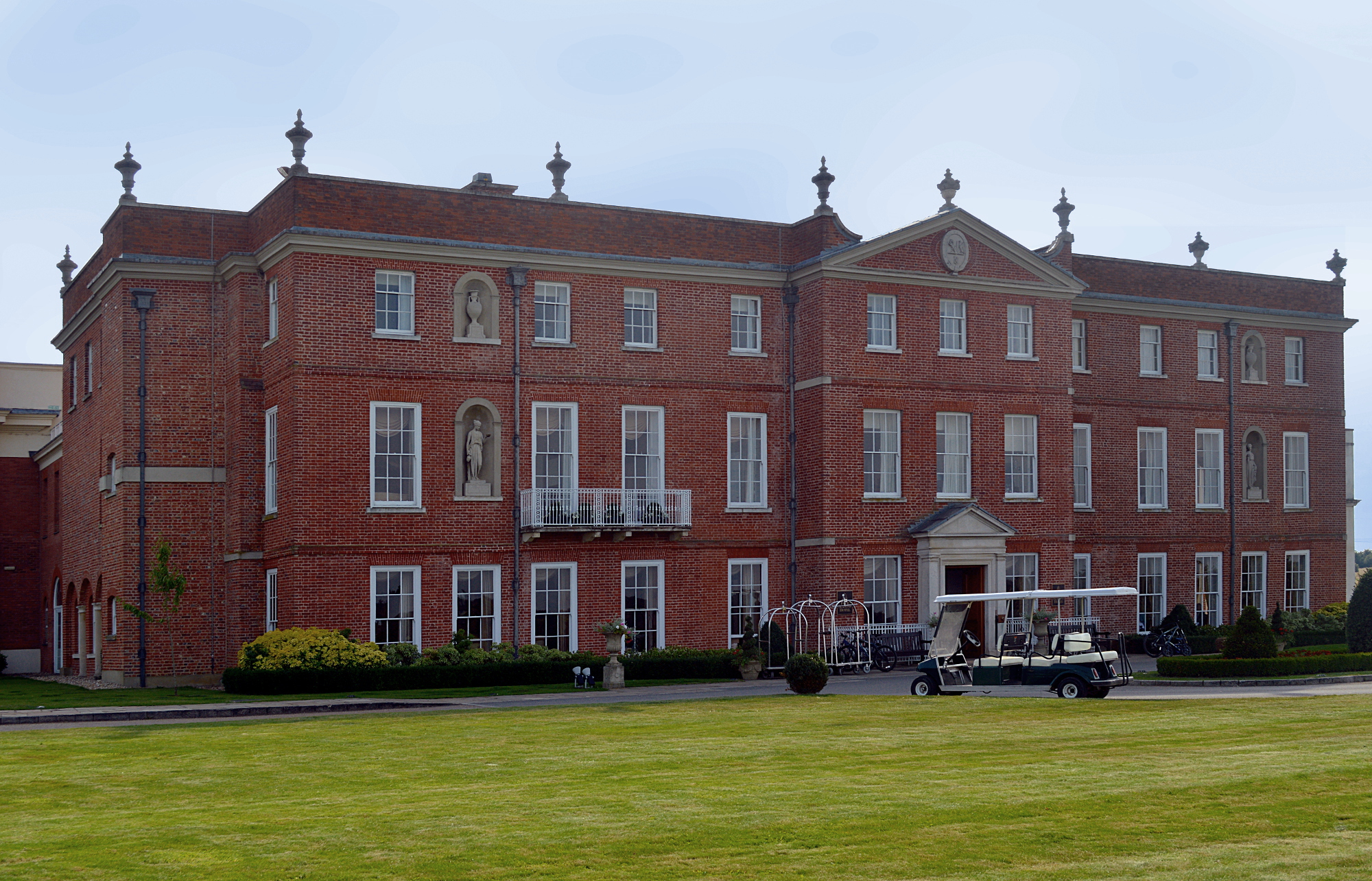
Dogmersfield Park

Dogmersfield Park or Dogmersfield House is a Grade I listed Georgian country house, now being used as a hotel. It is located in Dogmersfield, a small village...
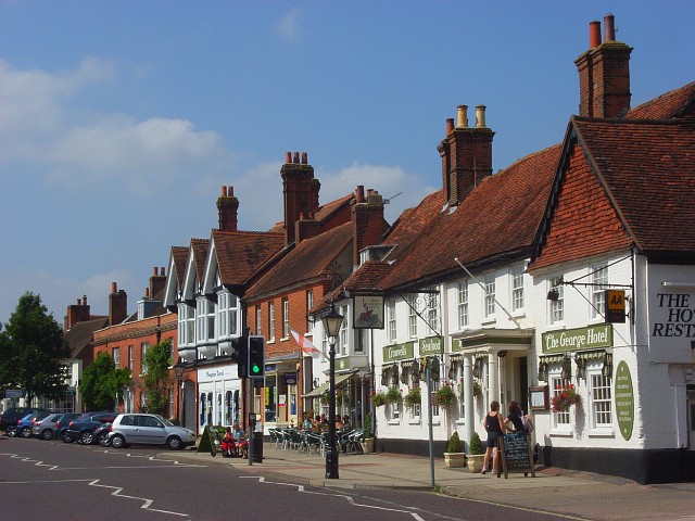
Odiham

Odiham () is a large historic village and civil parish in the Hart district of Hampshire, England. It is twinned with Sourdeval in the Manche Department...

All Saints Church, Odiham

All Saints Church is an Anglican church in the village of Odiham, Hampshire. It is situated near to Odiham's high street, 10 miles (15.2 km) away from...

Andwells Brewery

Andwell Brewing Company was started by Adam Komrower in 2008, and was based at Lodge Farm behind Newlyns farmshop in North Warnborough, Hampshire, England...

Rye, Hampshire

Rye is a hamlet in the civil parish of Odiham, in the Hart district of Hampshire, England. The hamlet lies near the A287 road between Odiham and Farnham...

North Warnborough

North Warnborough is a village in the Hart district of Hampshire, England. It is in the civil parish of Odiham. It is located less than 2 miles (3.2...

Related Videos

The Lab Report LiVE // Future Travel // Four Seasons Hampshire AW

We are proud the announce OsL's the_Lab Report LiVE. We managed to grab some face-to-face time, with some great travel ...

Odiham Castle, UK

Odiham Castle King's John Castle built 1207-1214 Hampshire County UK.

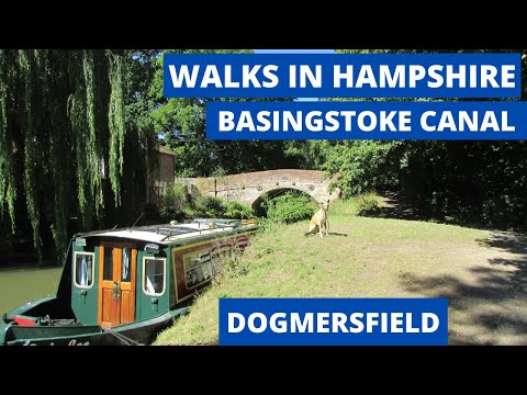
WALKS IN HAMPSHIRE ; BASINGSTOKE CANAL (DOGMERSFIELD)

This is another video in my series “Hampshire Walks” accompanied by my Whippet (Logan). In this episode I follow a peaceful ...

67006 races through Winchfield - 'British Pullman' to Bath - 29/11/23

The luxury Belmond 'British Pullman' would travel to Bath on Wednesday 29th November - being one of the many excursions to ...

Nearby Amenities

Located within 500m of 51.263,-0.917
Barrier: bollard
Lat/Long: 51.2626223/-0.9207934
Power: tower
Source: bing
Lat/Long: 51.2632711/-0.9113407
Power: tower
Source: bing
Lat/Long: 51.2665132/-0.9134267
Welcome to Broad Oak Common
Board Type: notice
Information: board
Tourism: information
Lat/Long: 51.2605937/-0.9219184
Post Box
Lat/Long: 51.2606089/-0.9220578
Bench
Lat/Long: 51.2624735/-0.9229432
Barrier: bollard
Lat/Long: 51.262518/-0.9208176
Material: wood
Power: pole
Lat/Long: 51.2628139/-0.9105459
Material: wood
Power: pole
Lat/Long: 51.2640039/-0.9112808
Material: wood
Power: pole
Lat/Long: 51.2653377/-0.912127
Odiham Common
Board Type: plants
Information: board
Tourism: information
Lat/Long: 51.262895/-0.9207232
Distance: 45.5
Operator: Basingstoke Canal
Waterway: milestone
Lat/Long: 51.2620346/-0.9234435
Distance: 45.0
Operator: Basingstoke Canal
Waterway: milestone
Lat/Long: 51.2624541/-0.9169849
Distance: 44.5
Operator: Basingstoke Canal
Waterway: milestone
Lat/Long: 51.2642081/-0.9105376
The data included in this document is from www.openstreetmap.org. The data is made available under ODbL.

Have you been to King Henry's Hunting Lodge?

Leave your review of King Henry's Hunting Lodge below (or comments, questions and feedback).