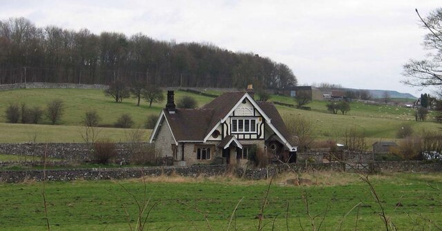
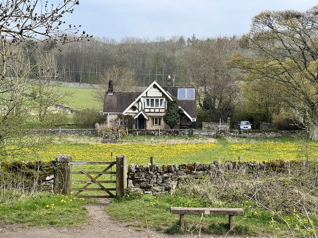
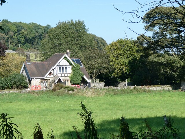
Holme Hall
Heritage Site in Derbyshire Derbyshire Dales
England
Holme Hall
Holme Hall is a historic country house located in the picturesque village of Holme, Derbyshire, England. The hall dates back to the 16th century and has played a significant role in the region's history.
The architecture of Holme Hall is a beautiful blend of Tudor and Jacobean styles, showcasing intricate details and stunning craftsmanship. The exterior features a combination of red brick and stone, while the interiors boast grand oak paneling, ornate plasterwork, and elegant fireplaces.
The hall has had several notable owners throughout its history, including the influential Manners family, who were closely associated with the nearby Haddon Hall. It is said that Mary Queen of Scots stayed at Holme Hall during her captivity in the late 16th century.
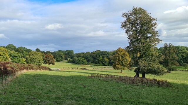
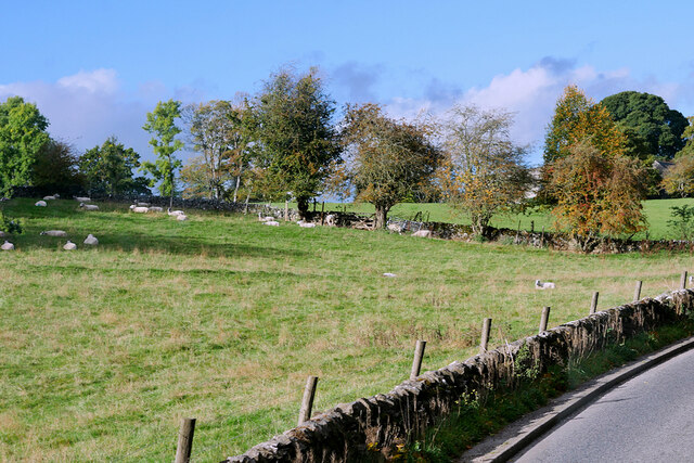
Surrounded by extensive gardens and parkland, Holme Hall offers a serene and picturesque setting. The gardens are meticulously maintained, featuring manicured lawns, vibrant flower beds, and a variety of mature trees. A small lake adds to the charm of the landscape.
The hall is not open to the public, but it is a popular venue for weddings and other special events. The stunning architecture and picturesque surroundings make it an ideal backdrop for memorable occasions.
Holme Hall is a designated heritage site, recognized for its historical and architectural significance. It stands as a testament to the rich heritage of Derbyshire and continues to be a treasured landmark in the area.
If you have any feedback on the listing, please let us know in the comments section below.
Holme Hall Images
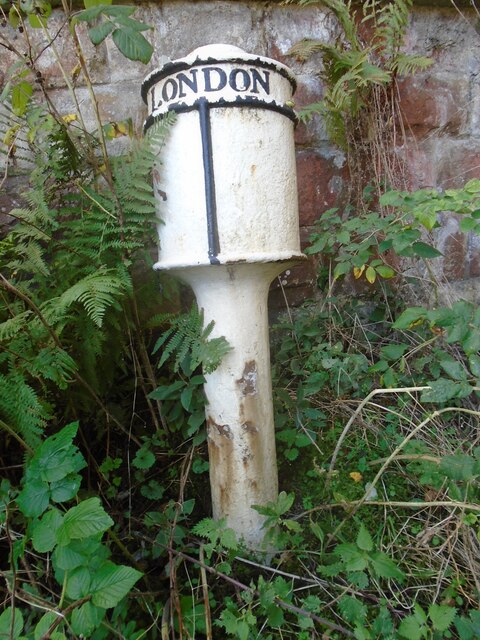
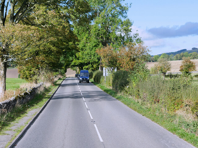
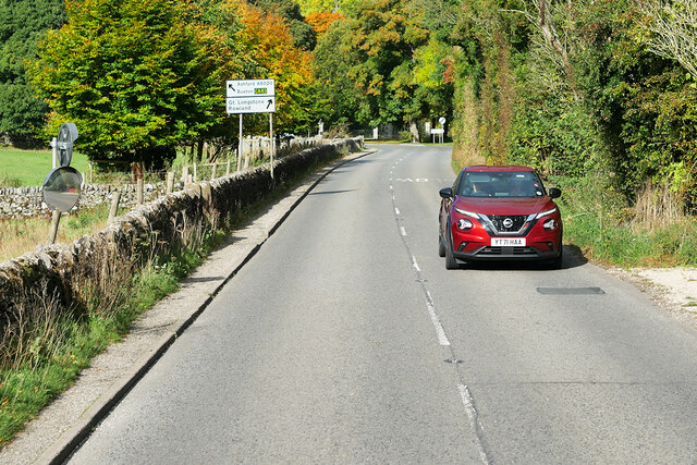
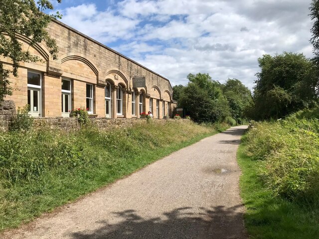
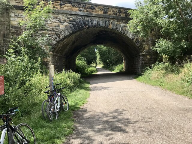
Images are sourced within 2km of 53.222/-1.678 or Grid Reference SK2169. Thanks to Geograph Open Source API. All images are credited.


Holme Hall is located at Grid Ref: SK2169 (Lat: 53.222, Lng: -1.678)
Administrative County: Derbyshire
District: Derbyshire Dales
Police Authority: Derbyshire
What 3 Words
///pushing.straying.pigtails. Near Bakewell, Derbyshire
Nearby Locations
Related Wikis

Holme Hall, Bakewell
Holme Hall near Bakewell, Derbyshire, is a privately owned 17th-century country house. It is a Grade I listed building. == History == The house was built...
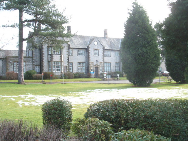
Newholme Hospital
Newholme Hospital is a community healthcare facility at Baslow Road in Bakewell, Derbyshire. It was managed by Derbyshire Community Health Services NHS...

Lumford Mill
Lumford Mill was a historic cotton mill at Bakewell in Derbyshire, England. In 1777, Richard Arkwright leased a stretch of land by the River Wye from Philip...
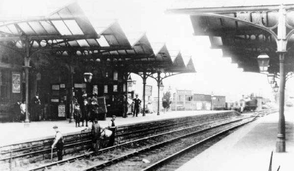
Bakewell railway station
Bakewell railway station was a railway station built to serve the town of Bakewell in Derbyshire, England, by the Midland Railway on its extension of the...
Nearby Amenities
Located within 500m of 53.222,-1.678Have you been to Holme Hall?
Leave your review of Holme Hall below (or comments, questions and feedback).