Harpsden Court
Heritage Site in Oxfordshire South Oxfordshire
England
Harpsden Court
Harpsden Court, located in Oxfordshire, is a historic heritage site that dates back to the 14th century. This magnificent manor house is nestled in the picturesque countryside, surrounded by beautifully landscaped gardens and rolling hills. It is a prime example of Tudor architecture, boasting stunning timber-framed exteriors and intricate decorative details.
The origins of Harpsden Court can be traced back to the medieval period when it served as a fortified manor house. Over the centuries, it has undergone several renovations and expansions, resulting in its current grandeur. The interior of the house is equally impressive, featuring elaborate wood paneling, ornate ceilings, and magnificent fireplaces.
The house is set within extensive grounds that have been meticulously maintained. The gardens, which were designed in the 18th century, showcase a combination of formal and informal styles. Visitors can explore the manicured lawns, elegant flowerbeds, and tranquil water features. Additionally, there is a charming walled garden that is home to a variety of fragrant flowers and herbs.
In addition to its architectural and natural beauty, Harpsden Court also holds historical significance. It has been associated with notable figures throughout its history, including King Henry VIII and Queen Elizabeth I. The house has witnessed significant events and has played a role in various historical narratives.
Today, Harpsden Court continues to be a privately owned property. While it is not open to the general public, its exterior can be admired from a distance, allowing visitors to appreciate its grandeur and immerse themselves in the rich history of this remarkable heritage site.
If you have any feedback on the listing, please let us know in the comments section below.
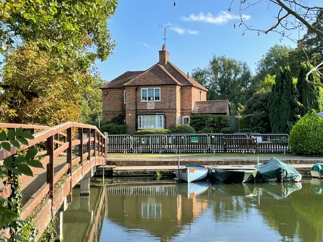
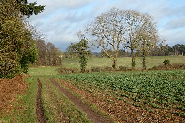
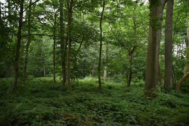
Harpsden Court Images
Images are sourced within 2km of 51.517/-0.897 or Grid Reference SU7680. Thanks to Geograph Open Source API. All images are credited.


Harpsden Court is located at Grid Ref: SU7680 (Lat: 51.517, Lng: -0.897)
Administrative County: Oxfordshire
District: South Oxfordshire
Police Authority: Thames Valley
What 3 Words
///wrong.bead.scooters. Near Henley-on-Thames, Oxfordshire
Nearby Locations
Related Wikis
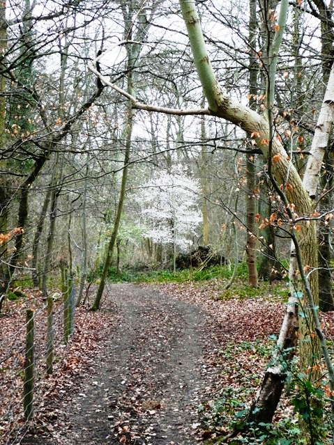
Harpsden Wood
Harpsden Wood is a 29.4-hectare (73-acre) biological Site of Special Scientific Interest south of Henley-on-Thames in Oxfordshire. It is owned by the Woodland...
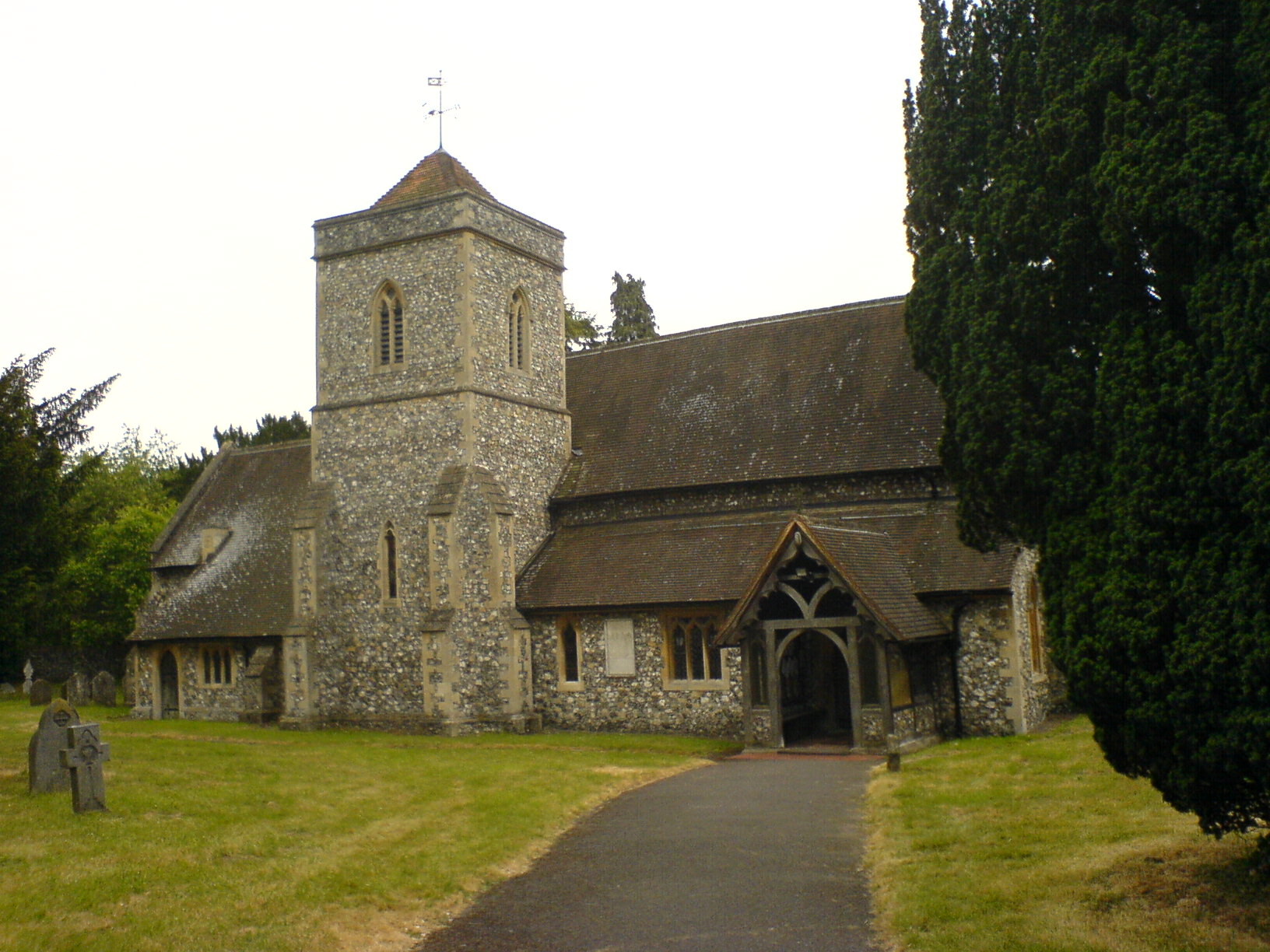
Harpsden
Harpsden is a rural and semi-rural village and civil parish immediately south of Henley-on-Thames in South Oxfordshire, Oxfordshire, England. Its scattered...
Handbuck Eyot
Handbuck Eyot or Handbuck Ait is a thin, wooded island in the River Thames in England towards the eastern edge of the villages of Shiplake, Oxfordshire...

Shiplake railway station
Shiplake railway station is a railway station in the village of Lower Shiplake (formerly Lashbrook) in Oxfordshire, England. The station is on the Henley...

Poplar Eyot
Poplar Eyot or Poplar Ait is an island in the River Thames in England near the villages of Shiplake, Oxfordshire and Wargrave, Berkshire. It is on the...
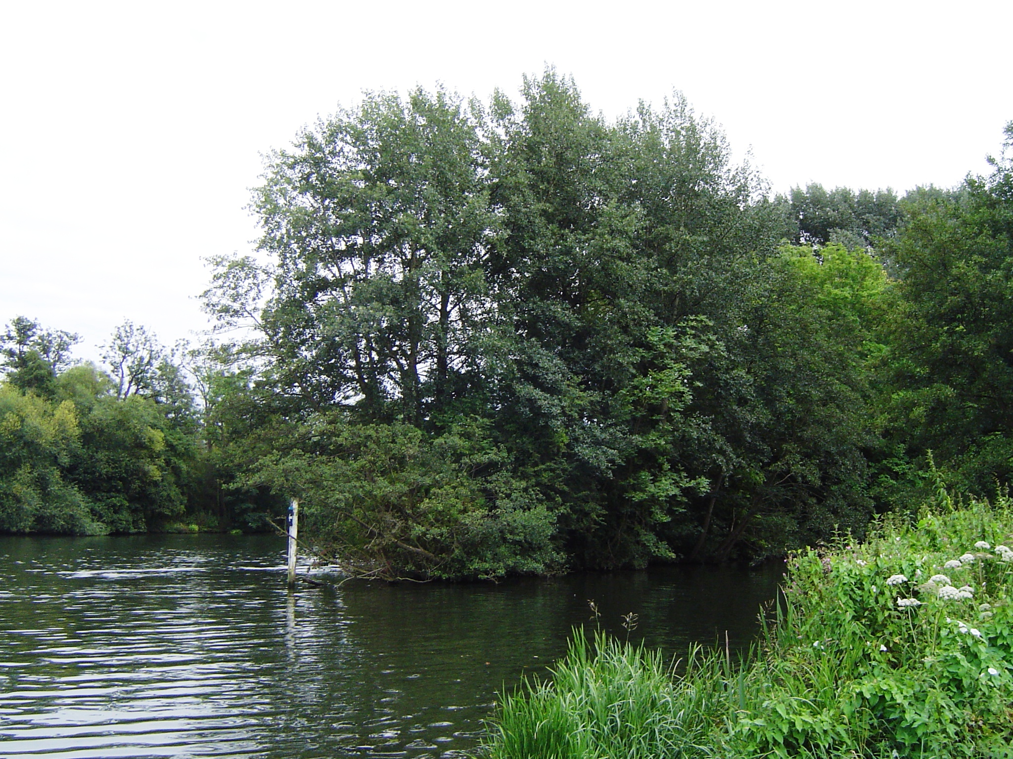
Ferry Eyot
Ferry Eyot or Ferry Ait is an island in the River Thames in England near the villages of Shiplake, Oxfordshire and Wargrave, Berkshire. It is on the reach...
Henley Town F.C.
Henley Town Football Club is a football club based in Henley-on-Thames in Oxfordshire, England. They are currently members of the Thames Valley Premier...
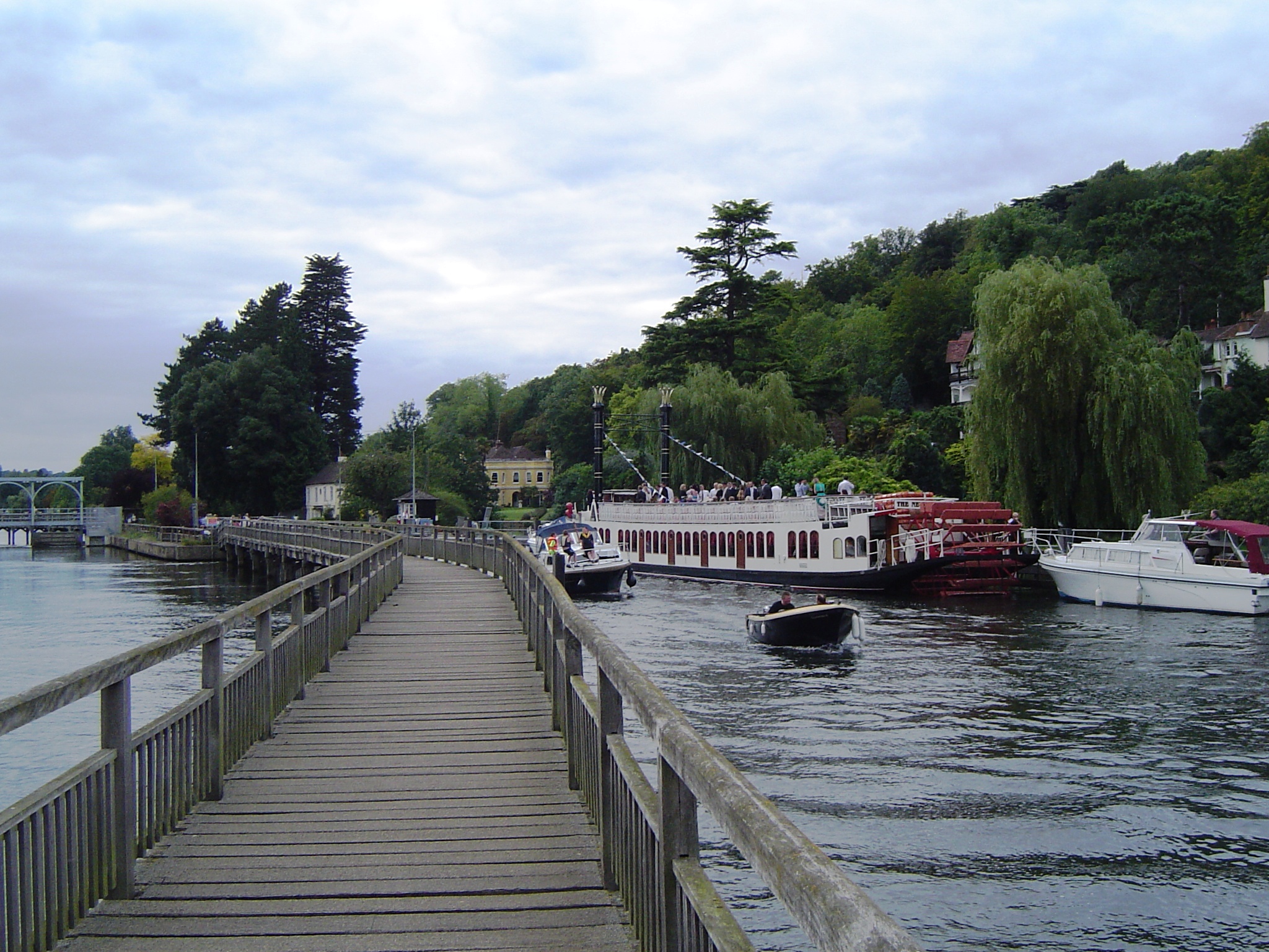
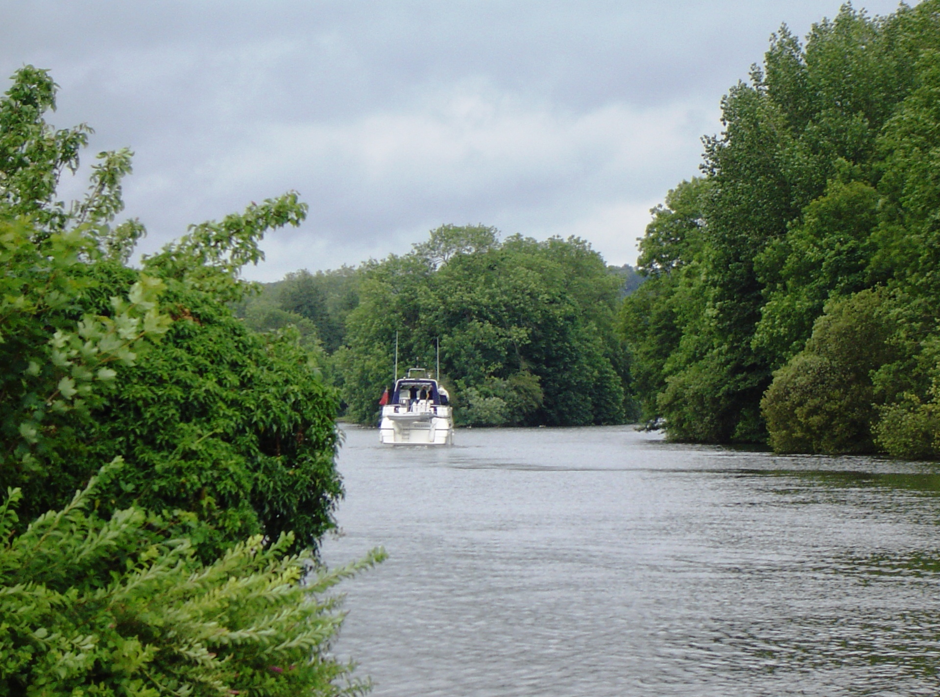
Marsh Lock
Marsh Lock is a lock and weir situated on the River Thames in England, about 1 mile upstream of Henley Bridge in Henley-on-Thames, Oxfordshire. The lock...
Nearby Amenities
Located within 500m of 51.517,-0.897Have you been to Harpsden Court?
Leave your review of Harpsden Court below (or comments, questions and feedback).