Hardham Priory
Heritage Site in Sussex Horsham
England
Hardham Priory
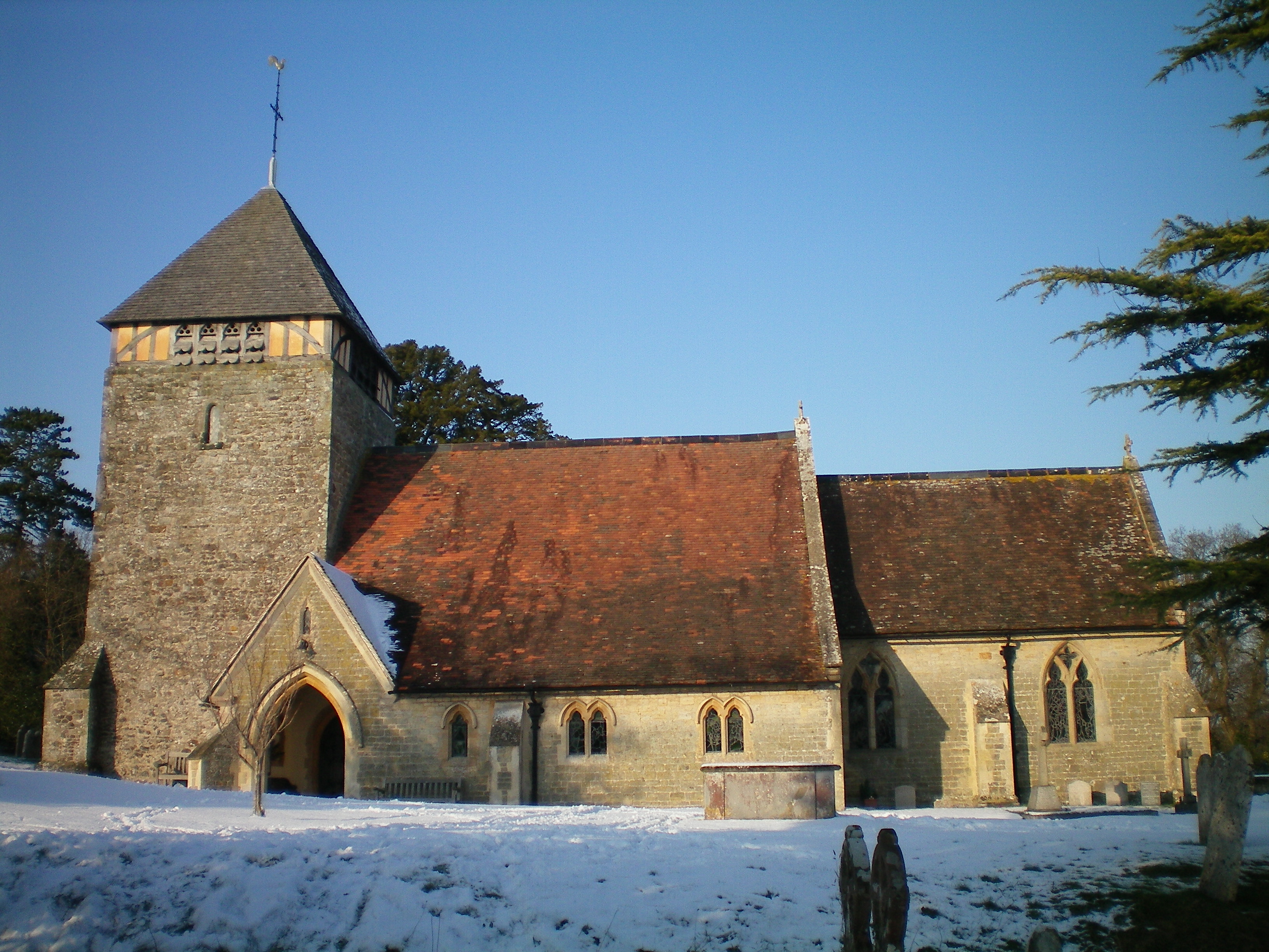
Hardham Priory is a historic heritage site located in the village of Hardham in the county of Sussex, England. Dating back to the 13th century, the priory is one of the finest examples of medieval wall paintings in the country and is considered a significant archaeological and historical treasure.
Originally built as a chapel for the local manor house, the priory was later converted into a small Augustinian priory in the early 13th century. It served as a religious institution until the Dissolution of the Monasteries in the 16th century, after which it fell into disrepair and was eventually used as a barn.
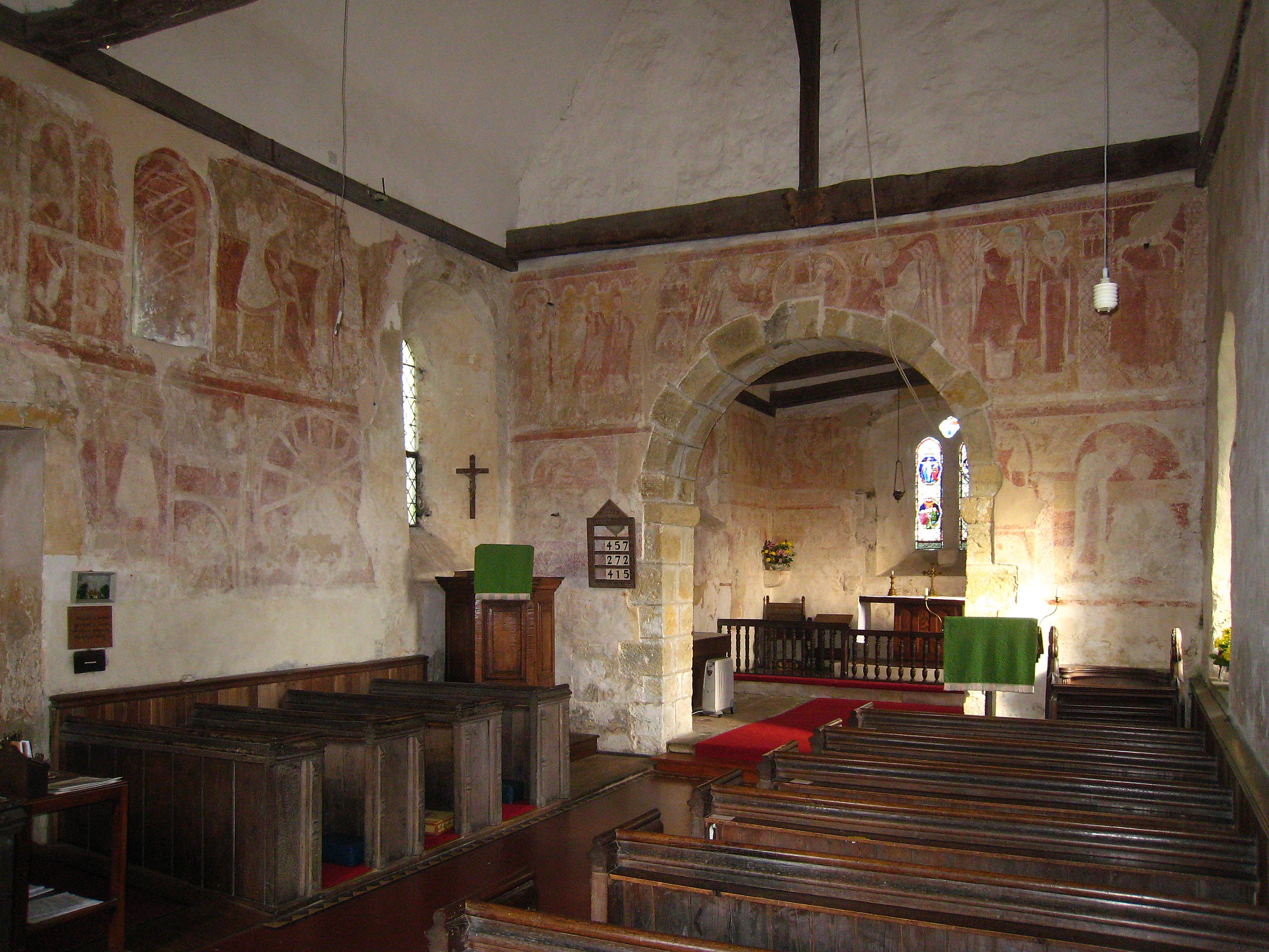
The most remarkable feature of the Hardham Priory is its series of well-preserved medieval wall paintings. These exquisite paintings, dating from the late 12th to the early 14th century, cover the interior walls of the nave and the chancel. The subjects of the paintings include biblical scenes, saints, and various decorative motifs, all executed with vibrant colors and intricate detailing.
The priory's wall paintings were discovered in the late 19th century and underwent extensive restoration in the early 20th century. Today, they are considered some of the most important surviving examples of medieval art in England. Visitors can explore the priory and admire the beautiful paintings, which provide a rare glimpse into the religious and artistic practices of the medieval period.
Hardham Priory is a protected heritage site and is managed by the Churches Conservation Trust. It is open to the public and offers guided tours and educational programs, allowing visitors to delve into the rich history and cultural significance of this remarkable medieval priory.
If you have any feedback on the listing, please let us know in the comments section below.
Hardham Priory Images
Images are sourced within 2km of 50.947/-0.527 or Grid Reference TQ0317. Thanks to Geograph Open Source API. All images are credited.


Hardham Priory is located at Grid Ref: TQ0317 (Lat: 50.947, Lng: -0.527)
Administrative County: West Sussex
District: Horsham
Police Authority: Sussex
What 3 Words
///examples.slid.albums. Near Pulborough, West Sussex
Nearby Locations
Related Wikis
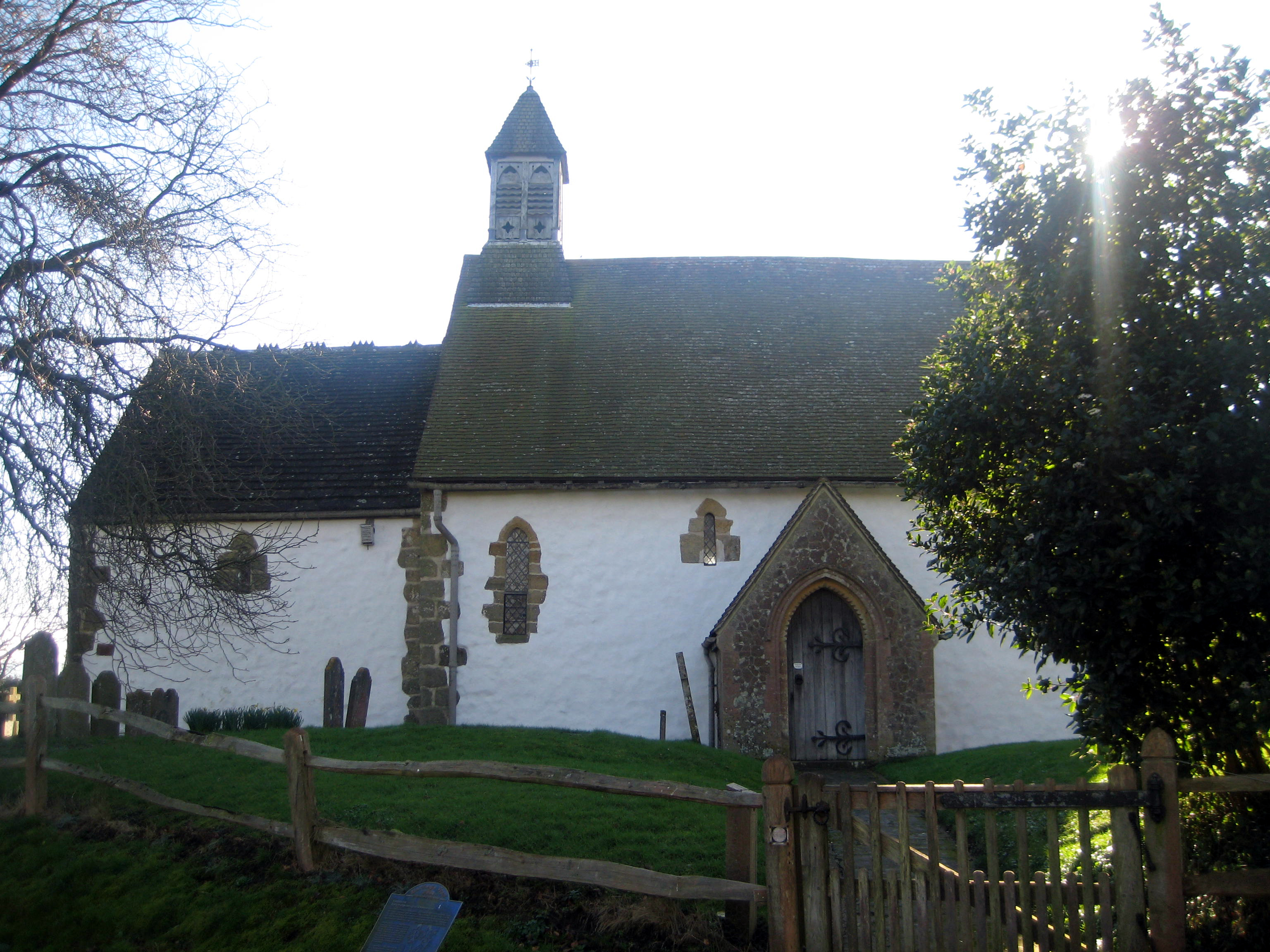
St Botolph's Church, Hardham
St Botolph's Church is the Church of England parish church of Hardham, West Sussex. It is in Horsham District and is a Grade I listed building. It contains...

Hardham Priory
Hardham Priory was an Augustinian priory in Hardham, West Sussex, England. It was founded around 1248 by Sir William Dawtrey as a priory of Black Canons...
Hardham
Hardham is a small village and former civil parish, now in the parish of Coldwaltham, in the Horsham district of West Sussex, England. It is on the A29...

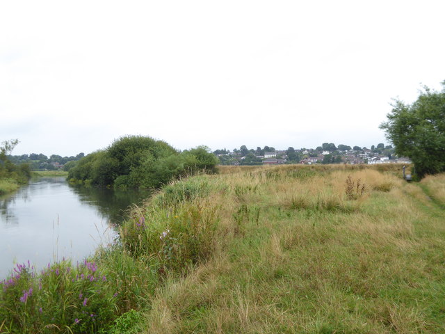
River Rother, West Sussex
The River Rother flows from Empshott in Hampshire, England, to Stopham in West Sussex, where it joins the River Arun. At 52 kilometres (32 mi) long, most...

South Downs Light Railway
The South Downs Light Railway is a 10+1⁄4 in (260 mm) gauge railway at Pulborough in West Sussex, England. The line opened in 2000 (after adjusting the...
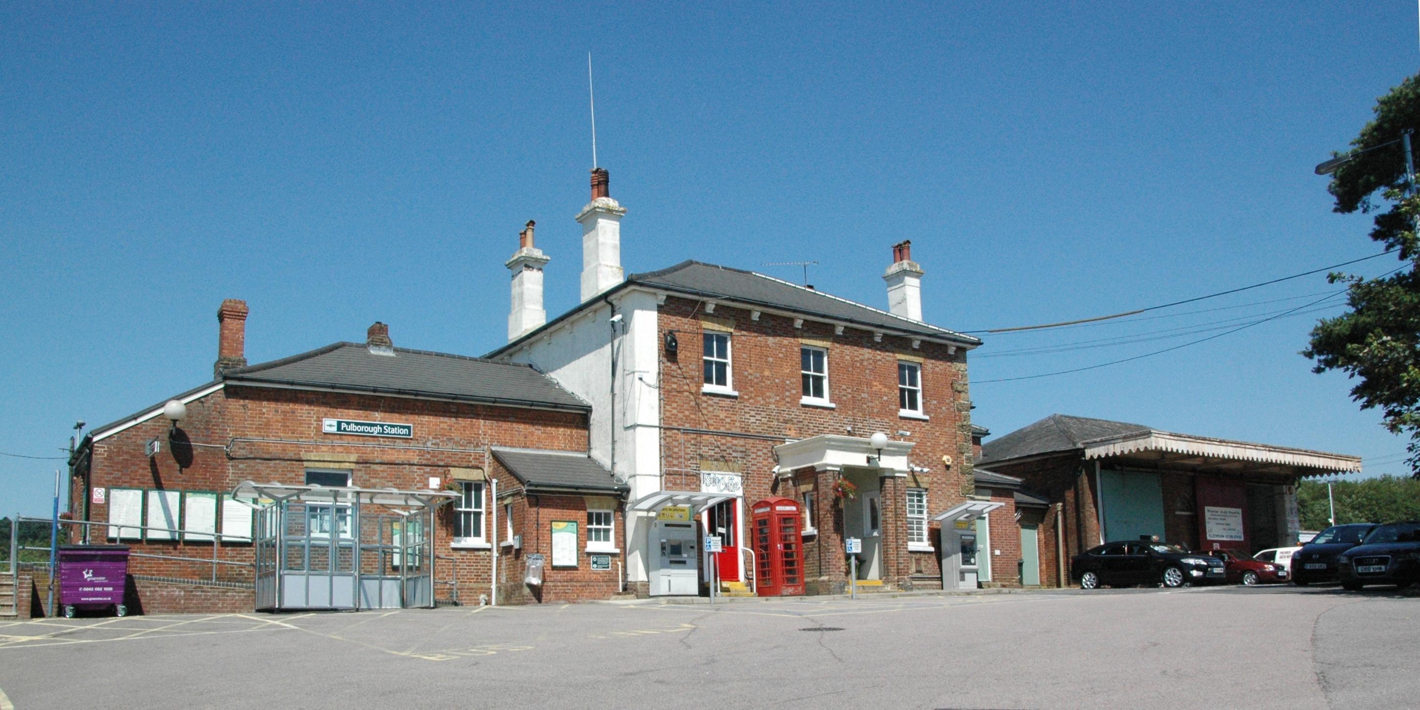
Pulborough railway station
Pulborough railway station serves the West Sussex village of Pulborough. It is at the western end of the village, just off the A283 road. It is 50 miles...
Coldwaltham
Coldwaltham is a village and civil parish in the Horsham District of West Sussex, England. It is divided in two by the A29 road and lies 2.4 miles (3.9...

Park Farm Cutting
Park Farm Cutting is a 0.2-hectare (0.49-acre) geological Site of Special Scientific Interest west of Pulborough in West Sussex. It is a Geological Conservation...
Nearby Amenities
Located within 500m of 50.947,-0.527Have you been to Hardham Priory?
Leave your review of Hardham Priory below (or comments, questions and feedback).