Glenbervie House

Heritage Site in Kincardineshire

Scotland

Glenbervie House

Rail Bridge A low headroom rail bridge by Mondynes.
Rail Bridge Credit: Andrew Wood

Glenbervie House is an impressive heritage site located in Kincardineshire, Scotland. Situated amidst stunning natural surroundings, the house is a prime example of Scottish Baronial architecture and has a rich history dating back to the 17th century.

Originally built in the late 17th century, Glenbervie House was extensively renovated and expanded in the 19th century by renowned architect David Bryce. The house features characteristic elements of Baronial architecture, including turrets, crow-stepped gables, and a grand entrance tower. The exterior is adorned with intricate stone carvings and decorative details, showcasing the craftsmanship of the era.

The interior of Glenbervie House is equally impressive, with ornate wood paneling, elaborate fireplaces, and a grand staircase. The rooms are lavishly furnished, reflecting the opulence of its previous occupants. The house also boasts a remarkable collection of artwork and antiques, providing a glimpse into the history and culture of the region.

Surrounding the house is a vast estate, complete with manicured gardens, picturesque landscapes, and a tranquil lake. The gardens have been meticulously maintained and offer a peaceful retreat for visitors. The estate is also home to various species of flora and fauna, making it a haven for nature lovers.

Today, Glenbervie House is a popular heritage site, attracting visitors from all over the world. It is often used for special events, weddings, and corporate functions, offering a unique and elegant setting. The house stands as a testament to Scotland's architectural heritage and serves as a reminder of its rich cultural past.

If you have any feedback on the listing, please let us know in the comments section below.

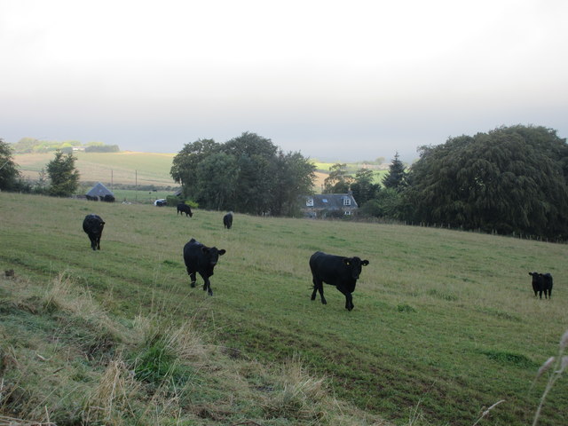
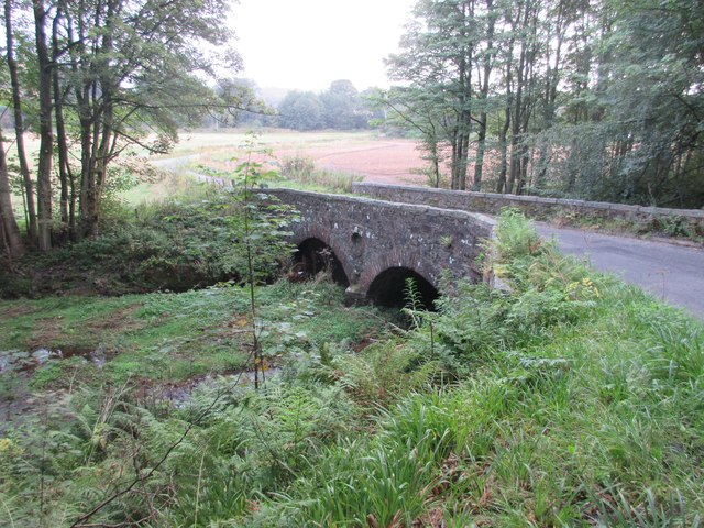
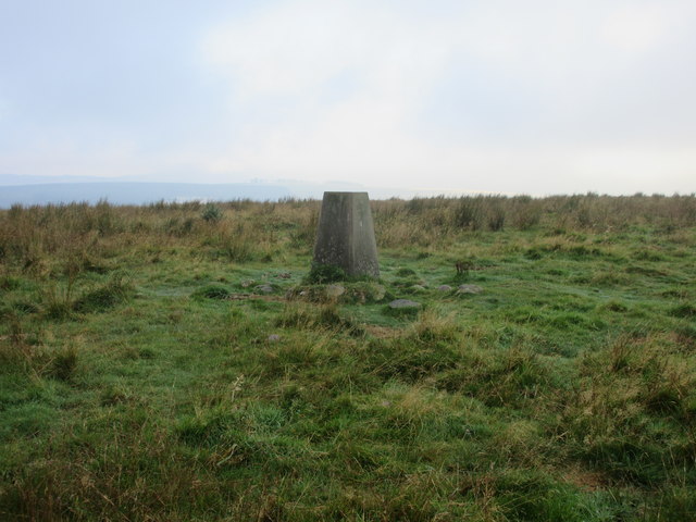
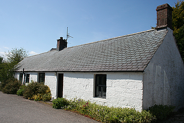
Glenbervie House Images

Images are sourced within 2km of 56.915/-2.385 or Grid Reference NO7680. Thanks to Geograph Open Source API. All images are credited.

Rail Bridge A low headroom rail bridge by Mondynes.
Rail Bridge
A low headroom rail bridge by Mondynes.
Cattle at Auchtochter Black cattle, with Auchtochter in the background.
Cattle at Auchtochter
Black cattle, with Auchtochter in the background.
Bridge over the Bervie Bridge carrying the C19K Auchenblae to Glenbervie road over the Bervie Water.
Bridge over the Bervie
Bridge carrying the C19K Auchenblae to Glenbervie road over the Bervie Water.
Cattle feeding Cattle feeding on the lower eastern slope of Droop Hill.
Cattle feeding
Cattle feeding on the lower eastern slope of Droop Hill.
Combine near Inches Combine harvester viewed from the Inches Farm access track.
Combine near Inches
Combine harvester viewed from the Inches Farm access track.
Droop Hill Trig Pillar The triangulation pillar on the flat summit of Droop Hill, viewed from the east.
Droop Hill Trig Pillar
The triangulation pillar on the flat summit of Droop Hill, viewed from the east.
Old Mondynes Bridge The old road bridge over the Bervie Water at Mondynes.
Old Mondynes Bridge
The old road bridge over the Bervie Water at Mondynes.
Bervie Water The Bervie Water flowing between the rail bridge and old road bridge at Monydnes.
Bervie Water
The Bervie Water flowing between the rail bridge and old road bridge at Monydnes.
Approaching exit for Arbuthnott This scene is as viewed from the southbound travel lane of A90, somewhat before the exit to Inverbervie and Arbuthnott.
Approaching exit for Arbuthnott
This scene is as viewed from the southbound travel lane of A90, somewhat before the exit to Inverbervie and Arbuthnott.
Minor road near Glenbervie
Beech hedge field boundary near Inches
Farm road to Inches
Farm road to Inches
Road to Upper Kinmonth
Episcopal Church The church is no longer in use, but in a reasonable state of repair. It was built in 1863 to a design by Charles Brand, and the dedication is to St John the Baptist.
Episcopal Church
The church is no longer in use, but in a reasonable state of repair. It was built in 1863 to a design by Charles Brand, and the dedication is to St John the Baptist.
High Street Looking east-ish from outside the gate of the Episcopal church.
High Street
Looking east-ish from outside the gate of the Episcopal church.
A Weaver's Cottage This cottage is more or less unaltered externally, though it was probably thatched when first built.
A Weaver's Cottage
This cottage is more or less unaltered externally, though it was probably thatched when first built.
Kirk and Cottage The belfry of the former Episcopal Church towers over a cottage at the end of the High Street.
Kirk and Cottage
The belfry of the former Episcopal Church towers over a cottage at the end of the High Street.
Harvey Well The name is carved into the sandstone plinth, with the date 1887. It was the coldest of the six wells in the village, and the women of the village used to gather here to make butter. It stands beside the track to Nether Kinmonth.
Harvey Well
The name is carved into the sandstone plinth, with the date 1887. It was the coldest of the six wells in the village, and the women of the village used to gather here to make butter. It stands beside the track to Nether Kinmonth.
Show me another place!

Glenbervie House is located at Grid Ref: NO7680 (Lat: 56.915, Lng: -2.385)

Unitary Authority: Aberdeenshire

Police Authority: North East

What 3 Words

///chitchat.boards.rescue. Near Inverbervie, Aberdeenshire

Related Wikis

Glenbervie House

Glenbervie House is a mansion house, which has incorporated parts of an earlier castle, located near Glenbervie, Kincardine and Mearns, Scotland. ��2...

Glenbervie

Glenbervie (Scottish Gaelic: Gleann Biorbhaidh) is located in the north east of Scotland in the Howe o' the Mearns, one mile from the village of Drumlithie...

Droop Hill

Droop Hill is a mountain landform in the Kincardine and Mearns region of Aberdeenshire, Scotland. The locale had been featured in a windfarm proposal...

Abbeyton Bridge

Abbeyton Bridge was a road bridge that carried the B966 road over the Dundee–Aberdeen line. == History == In June 2018, Aberdeenshire Council introduced...

Drumlithie

Drumlithie is a village in the Howe of the Mearns in southern Aberdeenshire, Scotland. Situated seven miles south of Stonehaven in the parish of Glenbervie...

Drumlithie railway station

Drumlithie railway station served the village of Drumlithie, Aberdeenshire, Scotland from 1849 to 1956 on the Aberdeen Railway. == History == The station...

Carmont railway station

Carmont railway station, on the Aberdeen Railway, served the rural area of Carmont in Aberdeenshire, Scotland from 1855 to 1964. == History == The station...

Auchinblae distillery

Auchenblae distillery was a scotch whisky distillery in Auchenblae, Kincardine, Aberdeenshire, Scotland. == History == The distillery was created in 1895...

Nearby Amenities

Located within 500m of 56.915,-2.385
Glenbervie
Alt Name Gd: Gleann Bearbhaidh
Name Gd: Gleann Biorbhaidh
Place: hamlet
Wikidata: Q5568168
Wikipedia: en:Glenbervie
Lat/Long: 56.9157487/-2.3847805
Crossing
Crossing: marked
Crossing Markings: zebra
Lat/Long: 56.9161453/-2.3851248
Ford: yes
Lat/Long: 56.913553/-2.3836881
Crossing
Crossing: marked
Crossing Markings: zebra
Lat/Long: 56.915664/-2.3861764
Power: pole
Lat/Long: 56.9169589/-2.3922114
Power: pole
Lat/Long: 56.9170841/-2.3910649
Power: pole
Lat/Long: 56.9172069/-2.3899514
Power: pole
Lat/Long: 56.9173501/-2.3888401
Power: pole
Lat/Long: 56.9174801/-2.3876891
Power: pole
Lat/Long: 56.9175944/-2.3866219
Power: pole
Lat/Long: 56.9178267/-2.3846507
Power: pole
Lat/Long: 56.9179651/-2.3834182
Power: pole
Lat/Long: 56.9180987/-2.3820247
Power: pole
Lat/Long: 56.9181962/-2.3809288
Power: pole
Lat/Long: 56.9182937/-2.3798396
Power: pole
Lat/Long: 56.9175583/-2.3793633
Power: pole
Lat/Long: 56.9170901/-2.3790723
Power: pole
Lat/Long: 56.9167158/-2.3788584
Power: pole
Lat/Long: 56.9184646/-2.3849859
Power: pole
Lat/Long: 56.9190483/-2.3852791
Power: pole
Lat/Long: 56.9145523/-2.3899348
Power: pole
Lat/Long: 56.9148616/-2.390647
Power: pole
Lat/Long: 56.915254/-2.3916106
Power: pole
Lat/Long: 56.9154562/-2.3925719
Glenbervie Home Farm
Place: farm
Lat/Long: 56.9154842/-2.3807161
Crossing
Crossing: marked
Crossing Markings: zebra
Lat/Long: 56.9150479/-2.3890813
Barrier: entrance
Lat/Long: 56.9152682/-2.383992
The data included in this document is from www.openstreetmap.org. The data is made available under ODbL.

Have you been to Glenbervie House?

Leave your review of Glenbervie House below (or comments, questions and feedback).