Glenbervie

Settlement in Kincardineshire

Scotland

Glenbervie

Approaching Knock Hill from the east Approaching Knock Hill from the east along the path leading up from East Mondynes beside the A90.
Approaching Knock Hill from the east Credit: Andrew McMahon

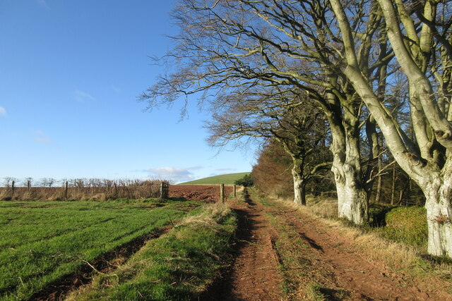
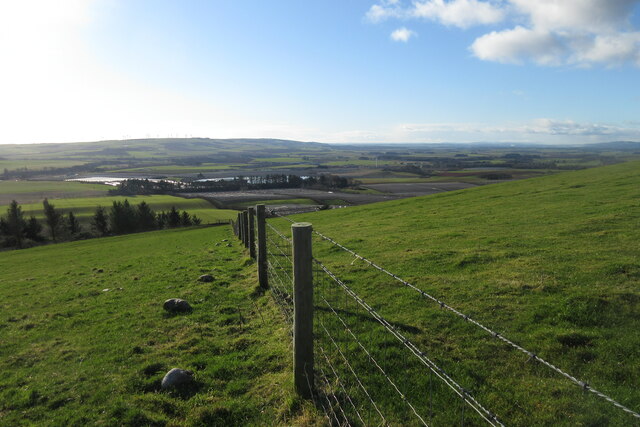
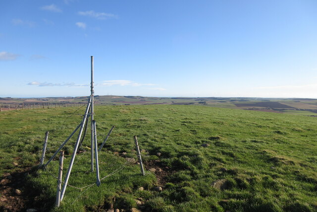
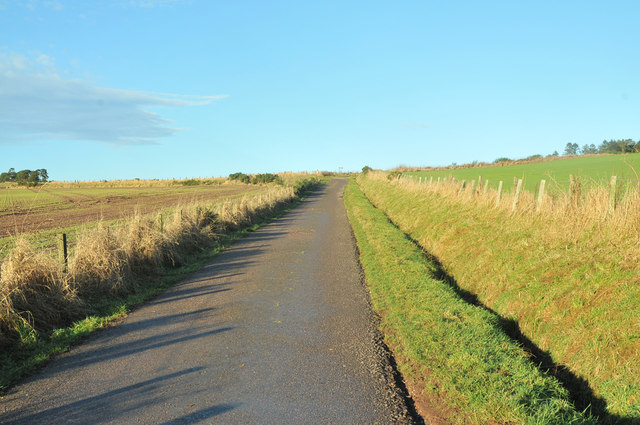
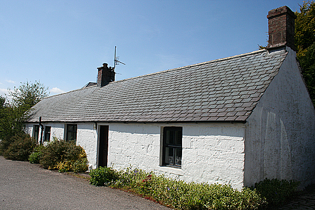
Glenbervie is a small village situated in the county of Kincardineshire, Scotland. Located approximately 5 miles west of Stonehaven and 20 miles south of Aberdeen, Glenbervie is nestled within the picturesque Mearns countryside. The village is surrounded by rolling hills, lush green fields, and scattered woodlands, offering residents and visitors alike a tranquil and scenic setting.

Historically, Glenbervie was known for its agricultural roots, with farming being a significant part of the local economy. While the village has seen some modernization and development over the years, it has managed to retain its rural charm and sense of community. The village is home to a close-knit population, with a range of amenities including a primary school, a church, and a village hall.

One of the notable landmarks in Glenbervie is the Glenbervie House, a 19th-century mansion surrounded by beautiful gardens. The house was once the ancestral home of the Arbuthnott family, and today it serves as a venue for weddings, events, and conferences. The surrounding estate offers scenic walks and opportunities for outdoor activities, making it a popular destination for nature enthusiasts.

Glenbervie benefits from its proximity to both Stonehaven and Aberdeen, offering residents easy access to a wider range of amenities and services. Stonehaven boasts a picturesque harbor, sandy beaches, and a bustling town center, while Aberdeen is a vibrant city with excellent shopping, dining, and cultural attractions.

Overall, Glenbervie is a charming village that combines rural tranquility with convenient access to nearby towns and cities, making it an attractive place to live or visit for those seeking a peaceful Scottish countryside experience.

If you have any feedback on the listing, please let us know in the comments section below.

Glenbervie Images

Images are sourced within 2km of 56.917004/-2.385767 or Grid Reference NO7680. Thanks to Geograph Open Source API. All images are credited.

Approaching Knock Hill from the east Approaching Knock Hill from the east along the path leading up from East Mondynes beside the A90.
Approaching Knock Hill from the east
Approaching Knock Hill from the east along the path leading up from East Mondynes beside the A90.
View from the slope of Knock Hill towards the south-west Looking south-west over Castleton Farm in the middle distance towards Hill of Garvock in the left distance. The route of the A90 dual-carriageway from Aberdeen to Dundee goes from left to right in the middle distance along the low land.
View from the slope of Knock Hill towards the south-west
Looking south-west over Castleton Farm in the middle distance towards Hill of Garvock in the left distance. The route of the A90 dual-carriageway from Aberdeen to Dundee goes from left to right in the middle distance along the low land.
Top of Knock Hill looking south-east Knock Hill is only 218 metres high but is a fine viewpoint to all directions on a clear day.
Top of Knock Hill looking south-east
Knock Hill is only 218 metres high but is a fine viewpoint to all directions on a clear day.
Bridge of Mondynes
Bridge of Mondynes
Farm buildings
Farm buildings
Old Mondynes Bridge The old road bridge over the Bervie Water at Mondynes.
Old Mondynes Bridge
The old road bridge over the Bervie Water at Mondynes.
Bervie Water The Bervie Water flowing between the rail bridge and old road bridge at Monydnes.
Bervie Water
The Bervie Water flowing between the rail bridge and old road bridge at Monydnes.
Prepared field near Glenbervie Looking south over a prepared field to the east of Glenbervie Home Farm.
Prepared field near Glenbervie
Looking south over a prepared field to the east of Glenbervie Home Farm.
Minor road in Angus
Minor road in Angus
Minor road near Glenbervie
Beech hedge field boundary near Inches
Farm road to Inches
Farm road to Inches
Minor road near Drumlithie
Reservoir near Drumlithie
Road to Upper Kinmonth
Episcopal Church The church is no longer in use, but in a reasonable state of repair. It was built in 1863 to a design by Charles Brand, and the dedication is to St John the Baptist.
Episcopal Church
The church is no longer in use, but in a reasonable state of repair. It was built in 1863 to a design by Charles Brand, and the dedication is to St John the Baptist.
High Street Looking east-ish from outside the gate of the Episcopal church.
High Street
Looking east-ish from outside the gate of the Episcopal church.
A Weaver's Cottage This cottage is more or less unaltered externally, though it was probably thatched when first built.
A Weaver's Cottage
This cottage is more or less unaltered externally, though it was probably thatched when first built.
Show me another place!

Glenbervie is located at Grid Ref: NO7680 (Lat: 56.917004, Lng: -2.385767)

Unitary Authority: Aberdeenshire

Police Authority: North East

What 3 Words

///agrees.coil.awkward. Near Inverbervie, Aberdeenshire

Related Wikis

Glenbervie

Glenbervie (Scottish Gaelic: Gleann Biorbhaidh) is located in the north east of Scotland in the Howe o' the Mearns, one mile from the village of Drumlithie...

Glenbervie House

Glenbervie House is a mansion house, which has incorporated parts of an earlier castle, located near Glenbervie, Kincardine and Mearns, Scotland. ��2...

Droop Hill

Droop Hill is a mountain landform in the Kincardine and Mearns region of Aberdeenshire, Scotland. The locale had been featured in a windfarm proposal...

Drumlithie

Drumlithie is a village in the Howe of the Mearns in southern Aberdeenshire, Scotland. Situated seven miles south of Stonehaven in the parish of Glenbervie...

Nearby Amenities

Located within 500m of 56.917004,-2.385767
Glenbervie
Alt Name Gd: Gleann Bearbhaidh
Name Gd: Gleann Biorbhaidh
Place: hamlet
Wikidata: Q5568168
Wikipedia: en:Glenbervie
Lat/Long: 56.9157487/-2.3847805
Crossing
Crossing: marked
Crossing Markings: zebra
Lat/Long: 56.9161453/-2.3851248
Ford: yes
Lat/Long: 56.913553/-2.3836881
Crossing
Crossing: marked
Crossing Markings: zebra
Lat/Long: 56.915664/-2.3861764
Power: pole
Lat/Long: 56.9168157/-2.3933734
Power: pole
Lat/Long: 56.9169589/-2.3922114
Power: pole
Lat/Long: 56.9170841/-2.3910649
Power: pole
Lat/Long: 56.9172069/-2.3899514
Power: pole
Lat/Long: 56.9173501/-2.3888401
Power: pole
Lat/Long: 56.9174801/-2.3876891
Power: pole
Lat/Long: 56.9175944/-2.3866219
Power: pole
Lat/Long: 56.9178267/-2.3846507
Power: pole
Lat/Long: 56.9179651/-2.3834182
Power: pole
Lat/Long: 56.9180987/-2.3820247
Power: pole
Lat/Long: 56.9181962/-2.3809288
Power: pole
Lat/Long: 56.9182937/-2.3798396
Power: pole
Lat/Long: 56.9184056/-2.3786644
Power: pole
Lat/Long: 56.9175583/-2.3793633
Power: pole
Lat/Long: 56.9170901/-2.3790723
Power: pole
Lat/Long: 56.9167158/-2.3788584
Power: pole
Lat/Long: 56.9184646/-2.3849859
Power: pole
Lat/Long: 56.9190483/-2.3852791
Power: pole
Lat/Long: 56.9196115/-2.3855768
Power: pole
Lat/Long: 56.9201458/-2.3858524
Power: pole
Lat/Long: 56.9205658/-2.3861236
Power: pole
Lat/Long: 56.9209184/-2.3869042
Power: pole
Lat/Long: 56.9212807/-2.3876913
Power: pole
Lat/Long: 56.9145523/-2.3899348
Power: pole
Lat/Long: 56.9148616/-2.390647
Power: pole
Lat/Long: 56.915254/-2.3916106
Power: pole
Lat/Long: 56.9154562/-2.3925719
Burnhead
Place: hamlet
Lat/Long: 56.9208836/-2.3866187
Glenbervie Home Farm
Place: farm
Lat/Long: 56.9154842/-2.3807161
Crossing
Crossing: marked
Crossing Markings: zebra
Lat/Long: 56.9150479/-2.3890813
Barrier: entrance
Lat/Long: 56.9152682/-2.383992
The data included in this document is from www.openstreetmap.org. The data is made available under ODbL.

Have you been to Glenbervie?

Leave your review of Glenbervie below (or comments, questions and feedback).